| ~ FALL 2012 PHOTOS ~ New Hampshire, Vermont, Cape Ann & more |
All Text & Images: Copyright (2012-2013) |
| ~ FALL 2012 PHOTOS ~ New Hampshire, Vermont, Cape Ann & more |
All Text & Images: Copyright (2012-2013) |
 |
|
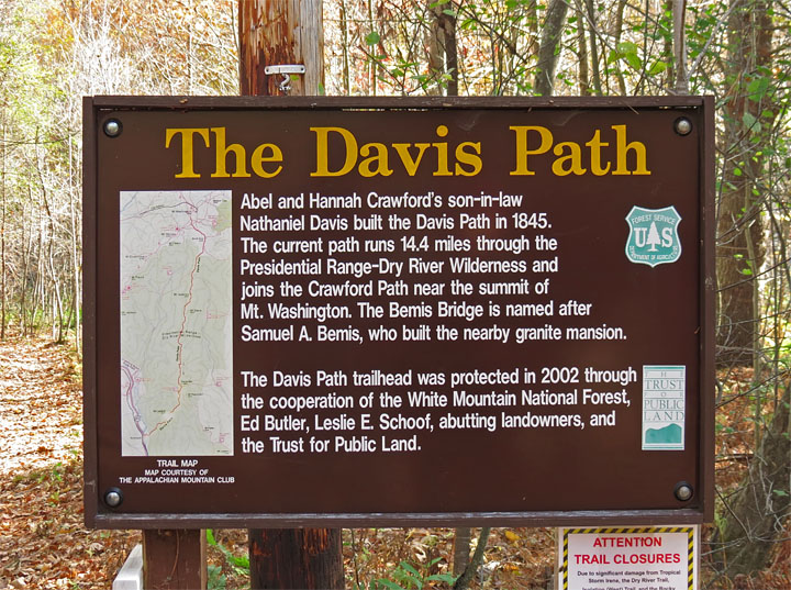
| Davis Path |
|
 |
|
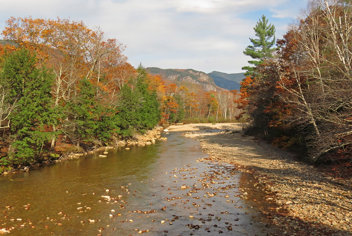
| Saco River from Bemis Footbridge |
|
 |
|
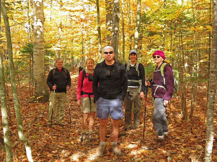
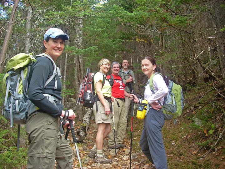
| Ready to hike |
|
 |
|
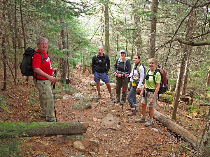
Along the Trail With a fairly steep ascent, it didn't take long to start stripping off layers... |
|
 |
|
 |
|
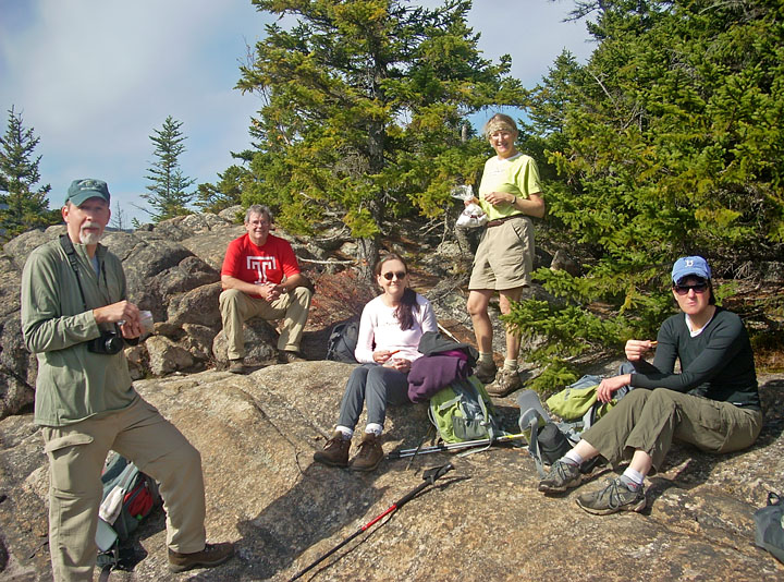
| After a steady climb, we stopped for a snack on this ledge area. |
|
 |
|
| View from ledge into Notchland area |
|
 |
|
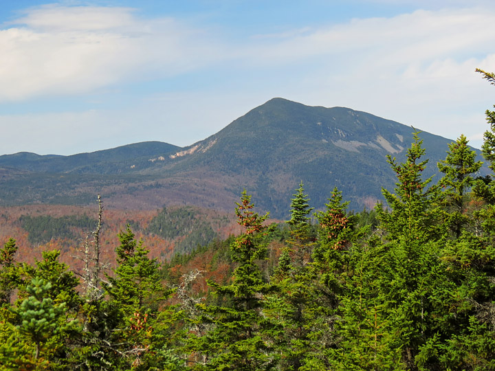
| Mt. Willey |
|
 |
|
| More snacking |
|
 |
|
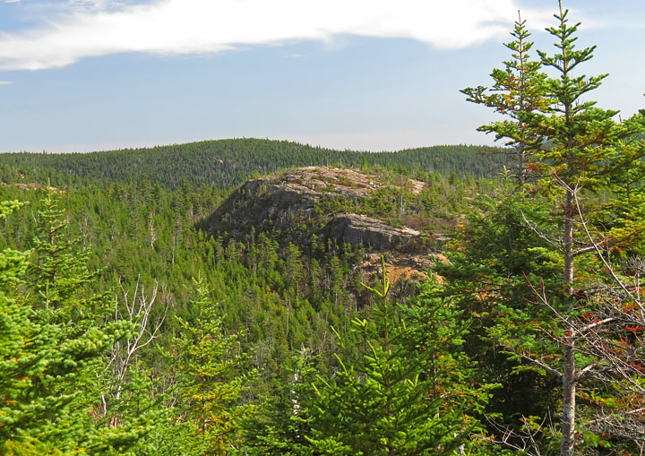
| Moving along; rocky hill adjacent to trail |
|
 |
|
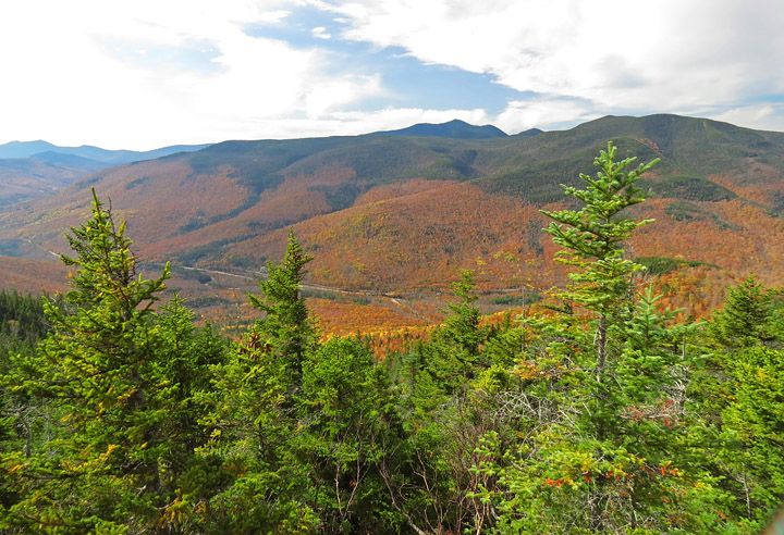
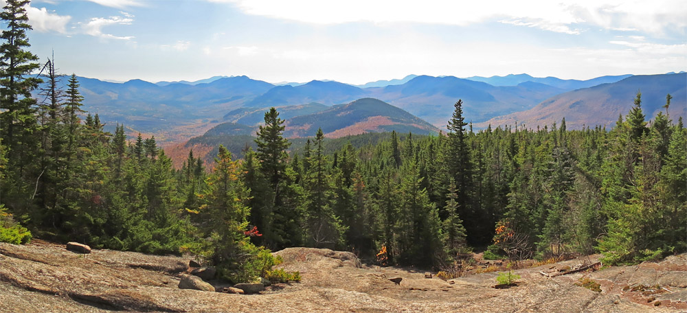
| Panoramic view to the south-east |
|
 |
|
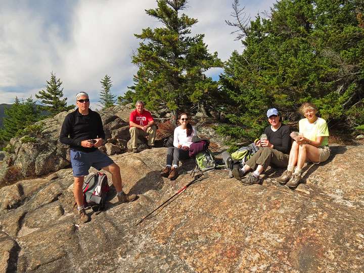
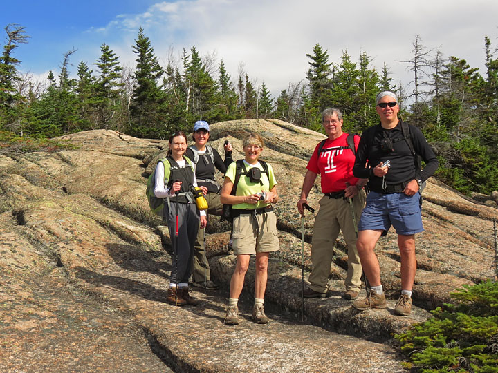
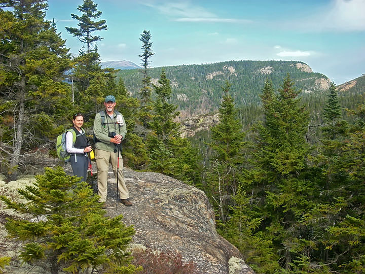
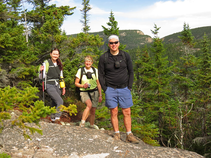
| Group pic on another rocky spot |
|
 |
|
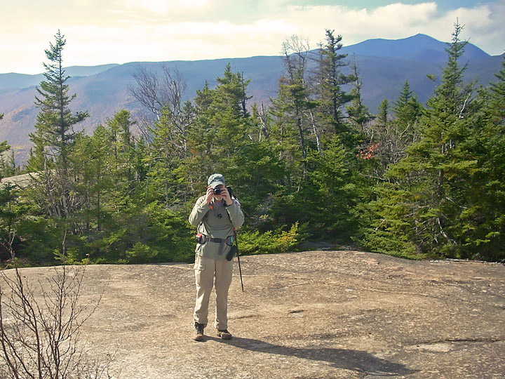
| Probably taking the previous pic... |
|
 |
|
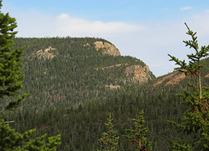
| Stairs Mountain |
|
 |
|
| Approach to Mt. Crawford |
|
 |
|
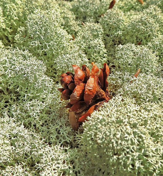
| Pine Cone in Reindeer Lichen |
|
 |
|
| Almost to Mt. Crawford summit |
|
 |
|
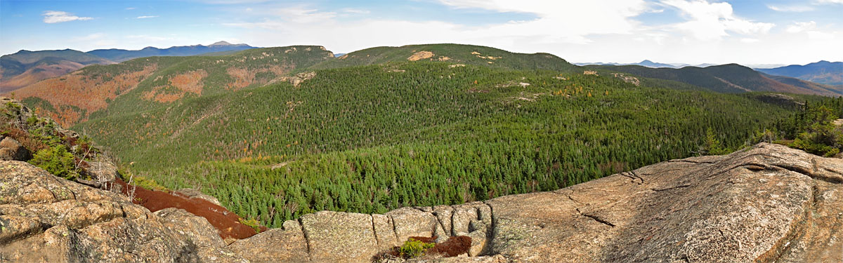
| Panorama view to the North-east; Stairs Mtn. and Mt. Isolation at center |
|
 |
|
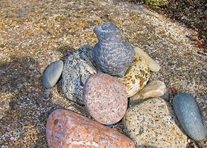
| Someone had left a small stone cairn with a bird at the summit |
|
 |
|
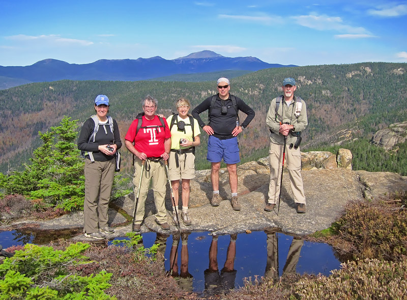
| Mt. Crawford summit - Presidential Range, incl. Mt. Washington, on horizon |
|
| Continue to Page 2 - Davis Path to Mt. Crawford |