| Mill Creek area - Swallow Creek WMA Chattahoochee National Forest |
All Text & Images: Copyright (2015) |
| Mill Creek area - Swallow Creek WMA Chattahoochee National Forest |
All Text & Images: Copyright (2015) |
| This rugged 19,000 acre Wildlife Management Area is located in Towns and Rabun Counties, GA. It includes part of the Tray Mountain Wilderness and High Shoals Scenic Area, as well as plenty of other wild territory. Mill Creek Roughs: |
|
 |
|
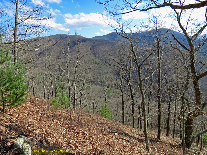
| Glade-like ridge slope at Mill Creek Roughs. The image doesn't convey how steep it was here. |
|
 |
|
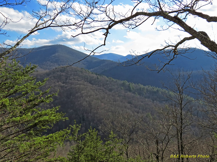
| View south toward Tray Mountain Wilderness |
|
 |
|
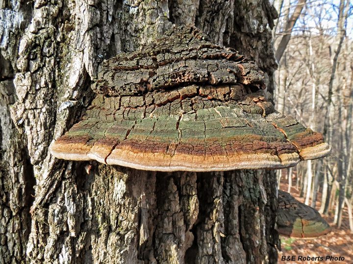
| Bracket Fungi (Ganoderma applanatum) These are sometimes called "Artist's Conk" due to the white bottoms (not shown) that change color when disturbed and are often used as a drawing medium. |
|
 |
|
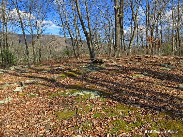
| Rocky glade on ridge top - Mill Creek Roughs. |
|
| Mill Creek: |
|
 |
|
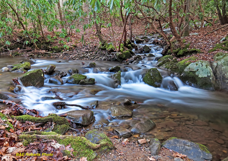
| Mill Creek and tributary |
|
 |
|
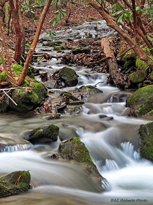
| Branch of Mill Creek |
|
 |
|
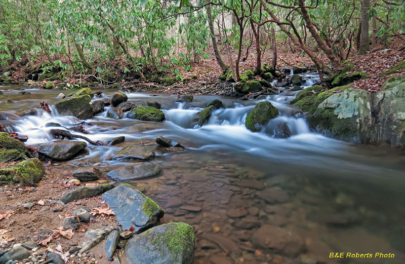
| Mill Creek and tributary |
|
| Mill Creek Falls Mill Creek Falls consists of two creeks that slide steeply for almost 100 yards, converging about 1/2 way down. Unfortunately rhododendron and other thick growth, combined with the steep pitch, make it impossible to get a photo of the overall falls. |
|
 |
|
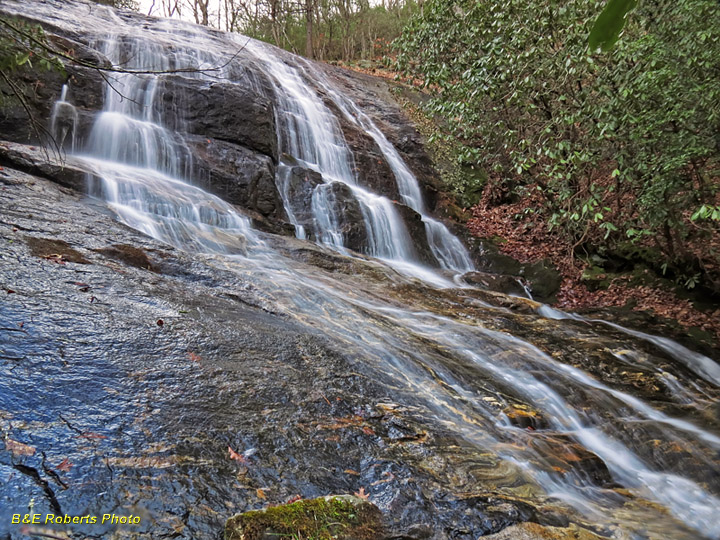
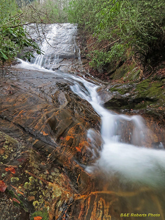
| Part of upper slide at Mill Creek Falls |
|
 |
|
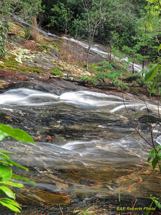
| Ground Hog Branch (foreground) and Mill Creek merge half way down this steep water slide of several hundred feet. |
|
 |
|
| Below Mill Creek Falls, in the gorge... |
|
 |
|
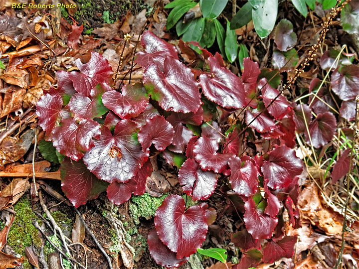
| Bronze winter leaves of Galax / Wandflower (Galax urceolata), alongside the falls |
|
 |
|
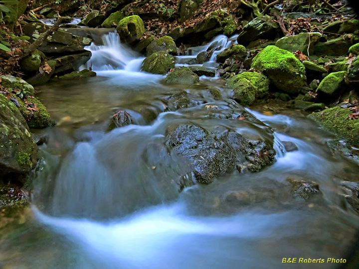
| Upper run of Ground Hog Branch, above the falls |