My excursions to Buck Creek usually involve botanizing, but much
evidence also remains of the area's rich corundum mining history.
There are extensive cuts, pits, shafts, and tunnels on the property, most now
caved or flooded. Only a few of the major works are included in this album.
Note: Additional albums of the mine workings were added in 2023 & 2024.
See Index at bottom of page.
1) October 2017:
|
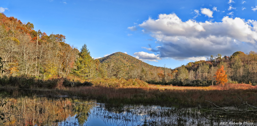 |
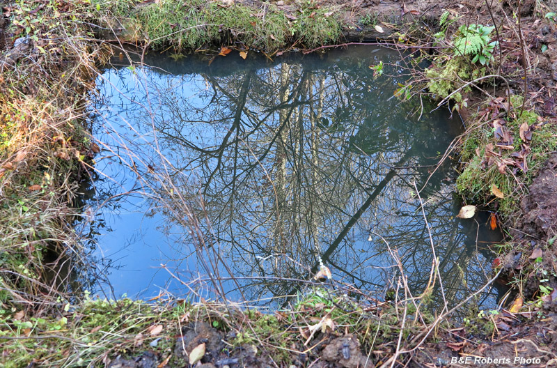
Pond in valley of Buck Creek.
Slowly becoming a bog..
|
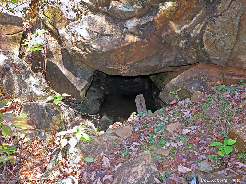 |
Adit at the old Cullakeenee Corundum Mine
This is actually one of the "newer" mine workings here. The Bureau of Mines drove
this tunnel 250 feet to intersect the Big Shaft while reopening the mine in 1944.
|
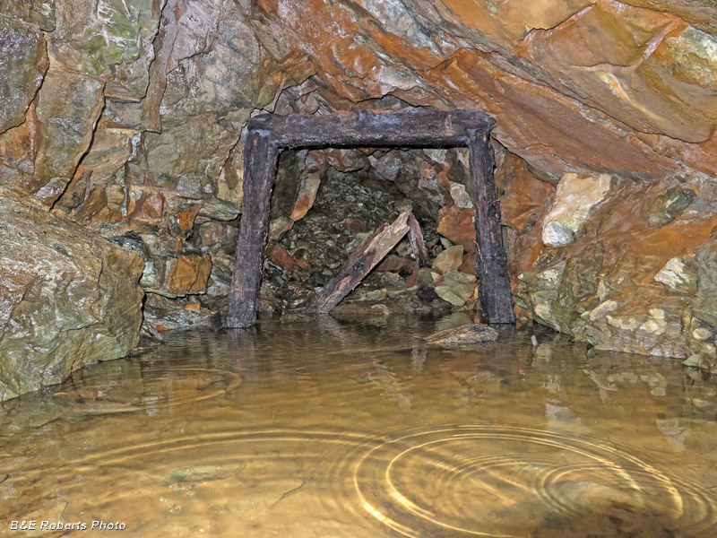 |
Inside the Cullakeenee Mine adit
The shaft in the rear had caved in, so I didn't bother wading into the tunnel.
|
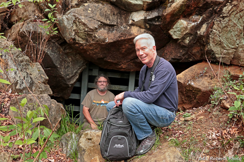 |
UPDATE - the next year, the USFS grated off the mine entrance.
(This photo with my friends Scott & Chris was taken a few years after that.)
|
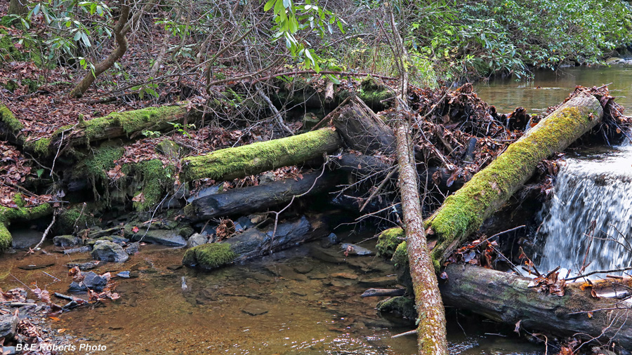 |
Remains of old log-framed dam on Barnards Creek.
The frame of this dam had been in place for about 100 years until heavy rains in
2017 washed away several sections. I think the dam dates to the logging period,
which took place after the primary operations at the Herbert Mine had ceased.
|
 |
Flooded vertical shaft of Herbert Corundum Mine.
This shaft had horizontal drifts at the 18, 25, 32 and 42 foot levels.
It too was grated over in 2018.
|
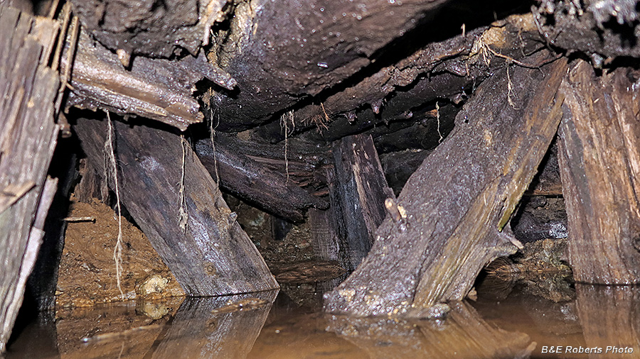 |
Flooded upper section (support timbers) of one of the Herbert Mine adits.
|
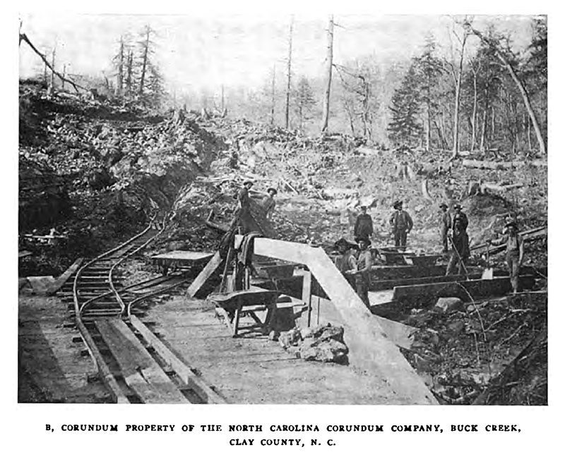 |
In this old image of the Herbert Mine, the railway at
left leads to the adit shown in the previous photo.
|
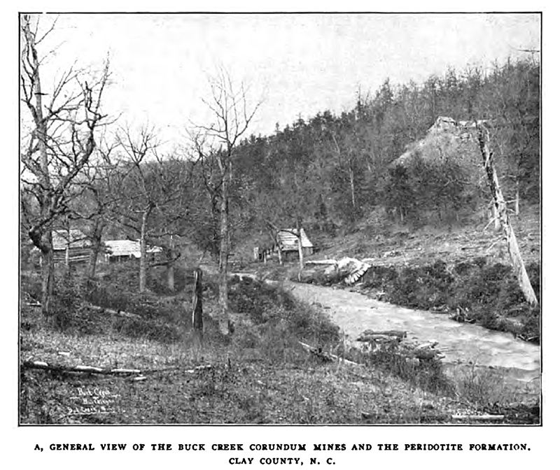 |
In this image of the old main (Cullakeenee) area, excavations
from the Big Shaft can be seen at upper right. The buildings at
left along Buck Creek sat where a campsite is currently located.
|
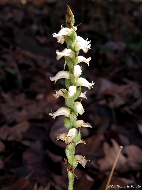 |
Nodding Ladies' Tresses (Spiranthes cernua), a little past its prime.
|
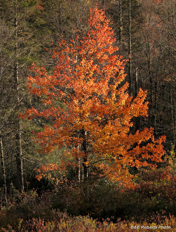 |
Back-lit foliage
|
2) November 2017 - Corundum Knob:
|
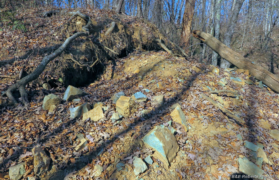 |
There are many old mine cuts and prospects covering Corundum Knob.
Some are buried under decades of overgrowth,
but many still see activity from rockhounds.
|
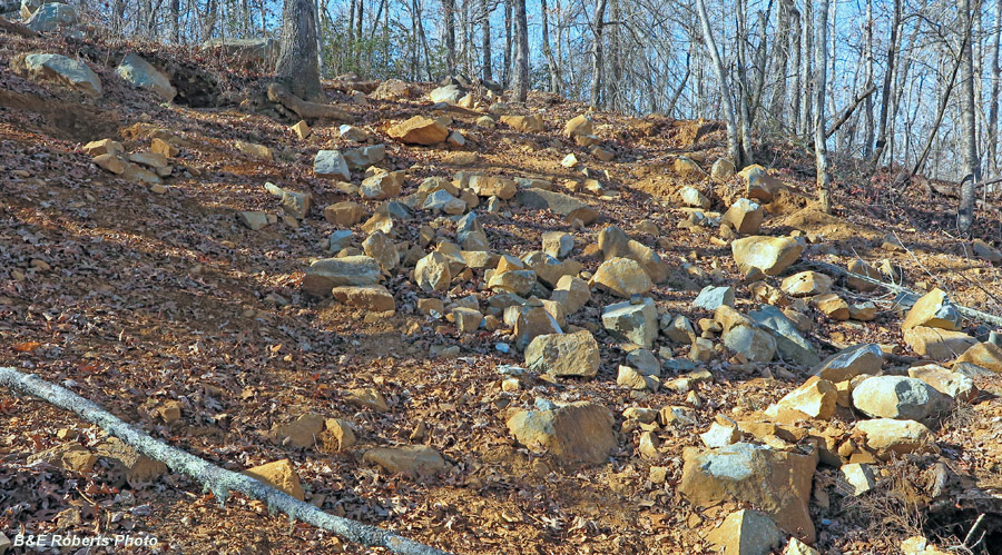 |
If I remember correctly, this was the old Sand Cut
Lots of folks break up the smaragdite rocks looking for pink corundum.
|
 |
|
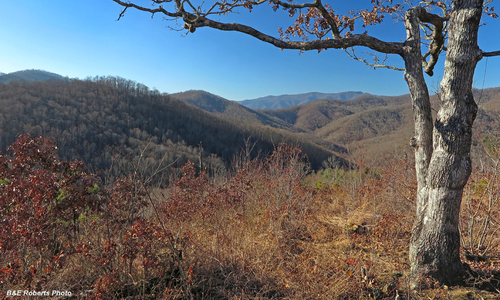 |
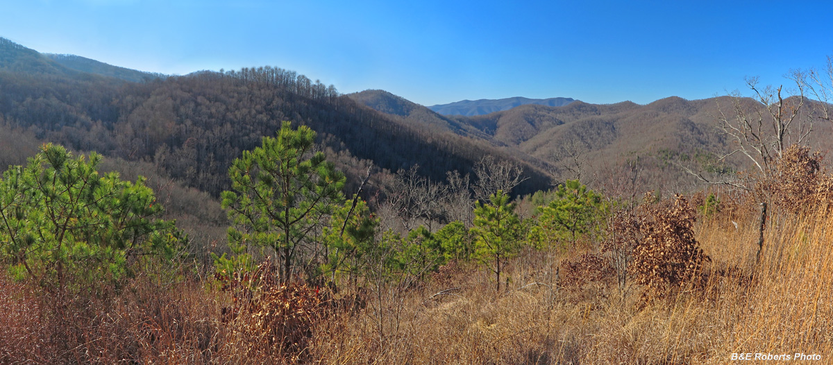
Nice views from Corundum Knob
Looking NW over the western section of the Buck Creek Barrens,
the Tusquitee Mtn Range is visible on the center horizon.
|
 |
|
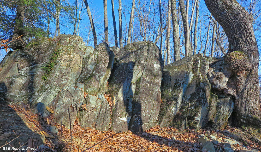 |
The layers in this rock ledge exhibit a near-vertical dip
|
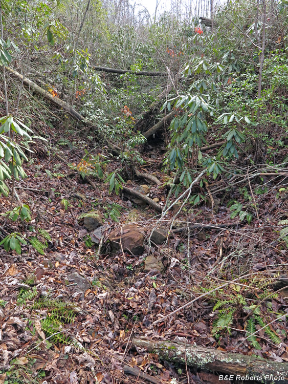 |
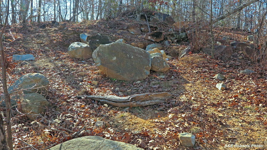
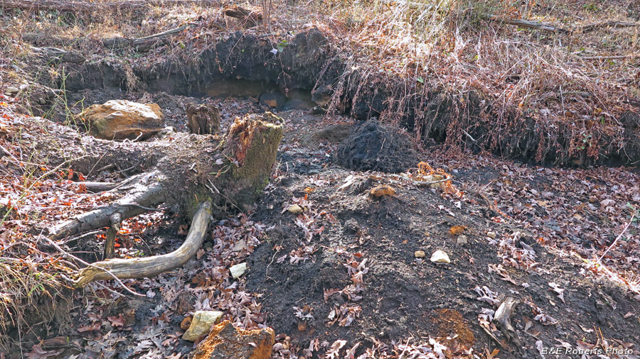
Deadfall and brush have filled in the original Cat-eye Mine Cut
|
 |
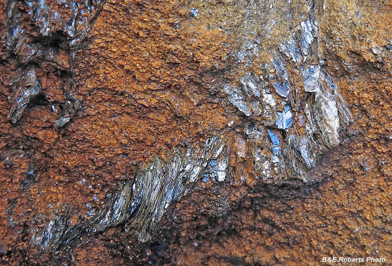
Examples of serpentine joints in the rock near the Cat-eye:
|
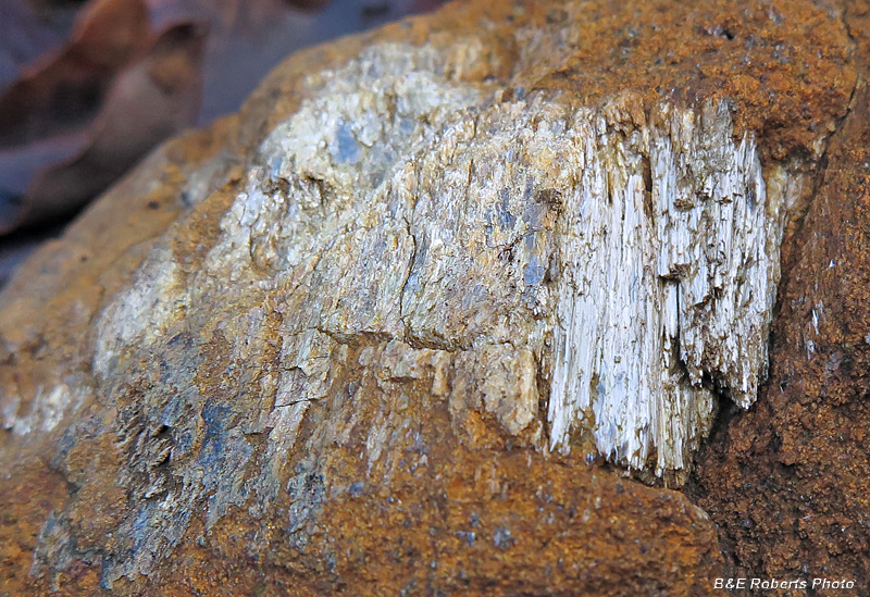 |
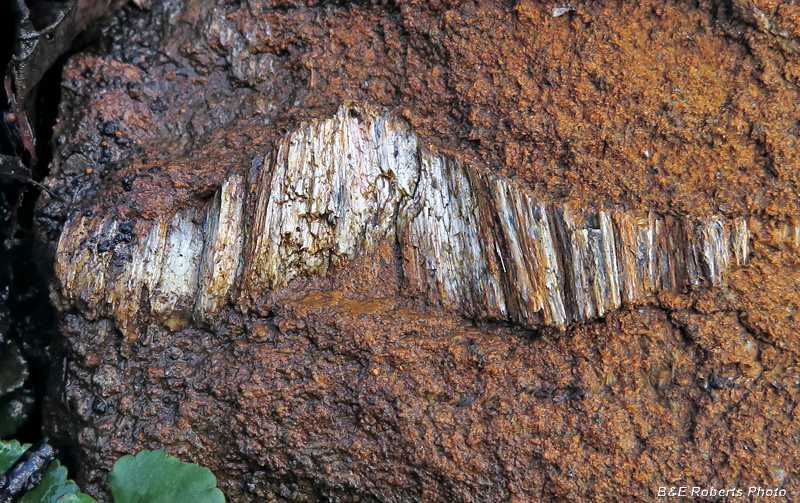
Serpentine layers
Maybe antigorite, picrolite, some kyanite(?)
|
 |
|
 |
Diggings near the Cat-eye Cut
|
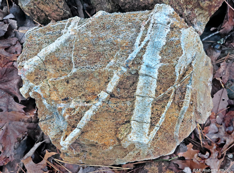 |
Cool rock with interesting joints running through it...
|
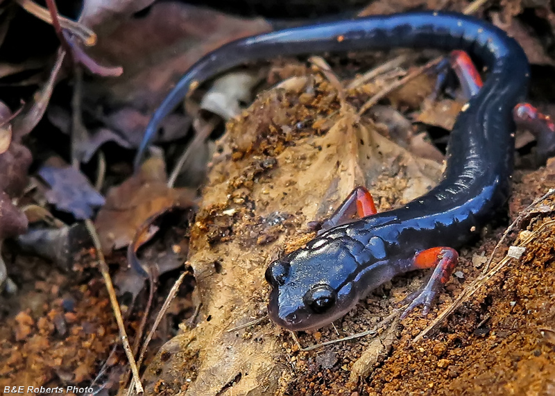 |
Red-legged Salamander (Plethodon shermani)
This is the first one of these I've seen; they have a very limited range
concentrated primarily in SW NC, along with NE GA, and SE TN.
|