| Big Spring Ridge - Rocky Knob February 2017 |
All Text & Images: Copyright (2017) |
| Big Spring Ridge - Rocky Knob February 2017 |
All Text & Images: Copyright (2017) |
| Years ago, a former neighbor came across the wreckage of a plane high up in the Wilderness Area. It was before GPS was readily available, and he was never able to locate it again. He described the general vicinity, and on a gorgeous February day, I decided to take a look. The specific area is very steep, with cliffs and laurel thickets among the impediments. I was optimistic, but on this day my search was fruitless. Still, a day in the woods beats just about anything else, and I did find some nice views which I hadn't encountered before. |
|
 |
|
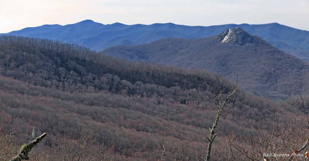
| A slightly different view of Bell Knob than I usually see. Brasstown Bald (Enota) is the highest peak on the left horizon. |
|
 |
|
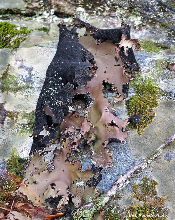
| Rock Tripe lichen (Umbilicaria mammulata) growing on cliff face |
|
 |
|
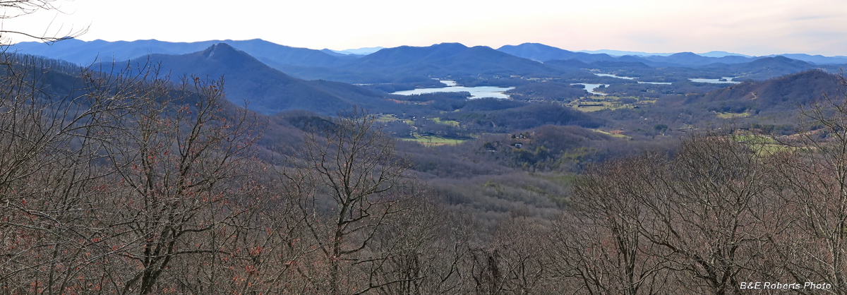
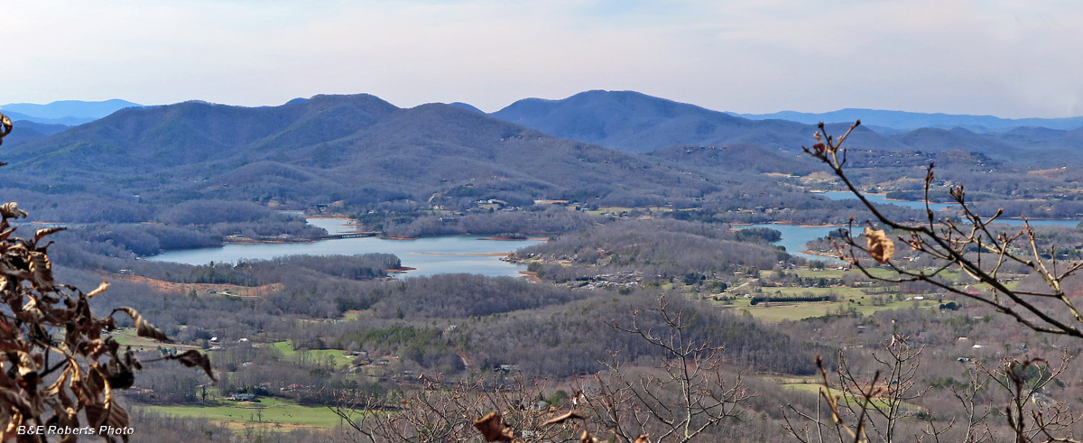
| Nice view of the Hiawassee area, and the original river valley now covered by Lake Chatuge. |
|
 |
|
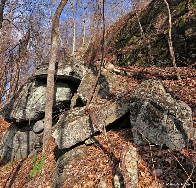
| It was tough to do an effective search in terrain like this. |
|
 |
|
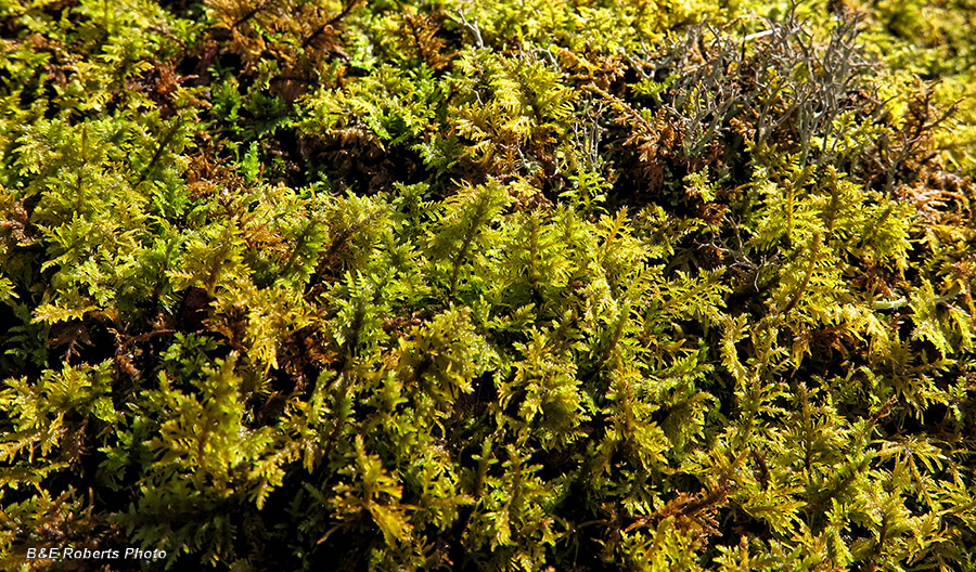
| Some type of ferny moss... |
|
 |
|
| Lake Chatuge and surroundings |
|
 |
|
| Moss-covered cliff face |
|
 |
|
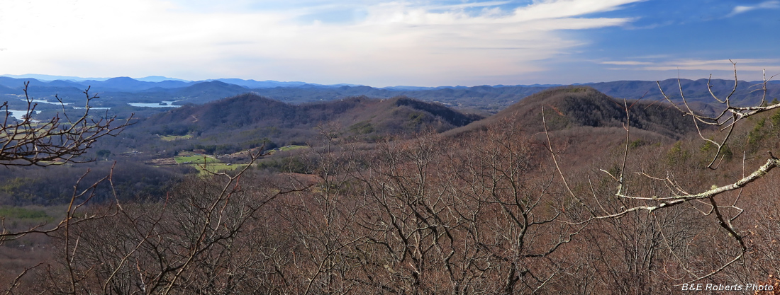
| Looking WNW - The Flea, Garland Mtn, Dan Knob |
|
 |
|
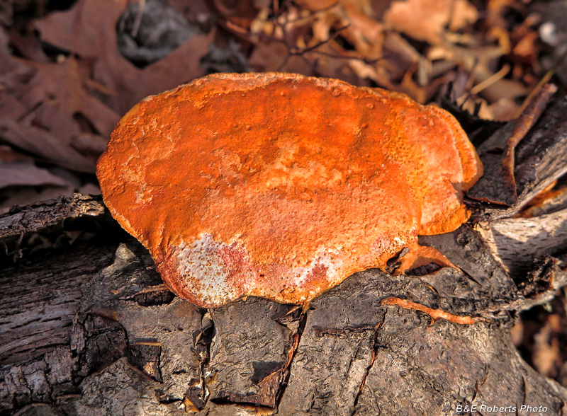
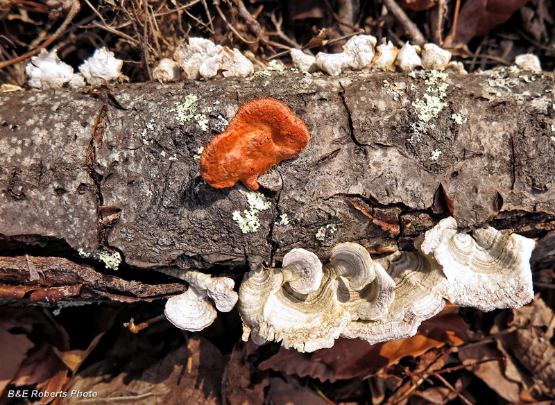
| Orange shelf fungi |
|
 |
|
| More fungi |