| Search for Old Homesites - Upper Choestoe Left Fork Nottely River, Union Co., GA February 2024 |
All Text & Images: Copyright (2024) |
| Search for Old Homesites - Upper Choestoe Left Fork Nottely River, Union Co., GA February 2024 |
All Text & Images: Copyright (2024) |
| After visiting a mine near Ruth Gap in January, Sheldon and I had looked for a few homesites after coming down from the mountain. We found one homesite-chimney, but had gone up the wrong cove to look for a couple of others that Sheldon recalled seeing decades ago. We returned in February, this time with all the homesite locations noted on the old maps marked in our phones. The first site we found (UN35) was along the old road. We could see the rock footprints of two long-gone chimneys, but most of the rocks had been hauled away years ago. No photos taken of the scant remains. |
|
 |
|
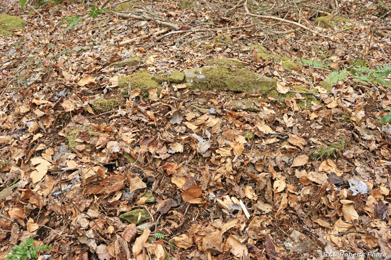
| The next homesite (UN36) wasn't much better as far as chimney remains. |
|
 |
|
| You can see the linear rock pattern. |
|
 |
|
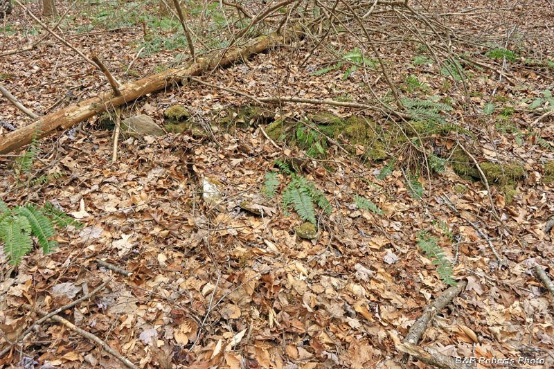
| Base of the chimney There may have been two chimneys here; it was hard to tell with most of the visible chimney rocks scattered around. There was a depressed (cellar?) area in the middle. |
|
| We turned and climbed along a tributary to reach the next site. |
|
 |
|
| Remnants of rock retaining walls like this supported the downhill side of an old woods road that we followed upstream. |
|
 |
|
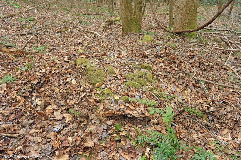
| We soon came to the next homesite (UN37) |
|
 |
|
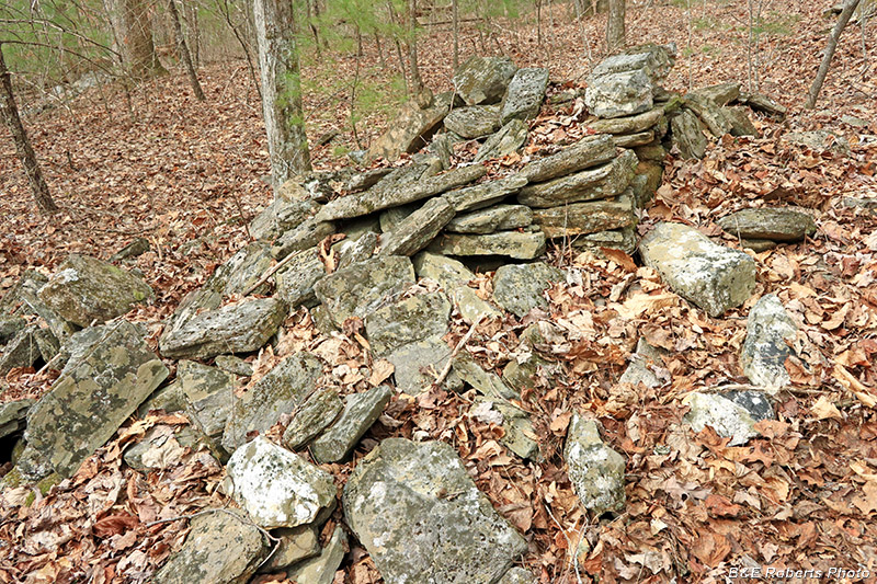
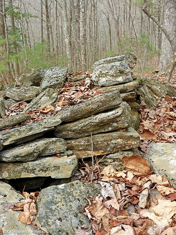
| This must have been a big chimney in its day. |
|
 |
|
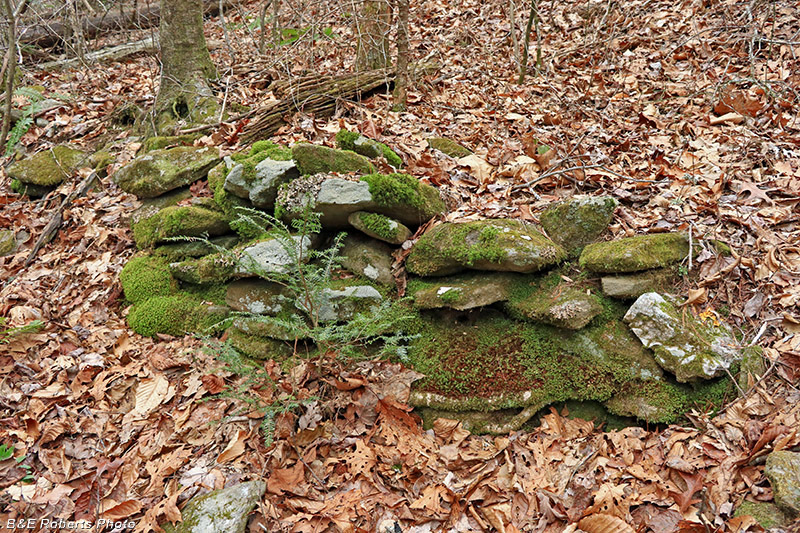
| Collapsed chimney from the rear |
|
 |
|
| There wasn't much form left to this chimney, even at the base. |
|
 |
|
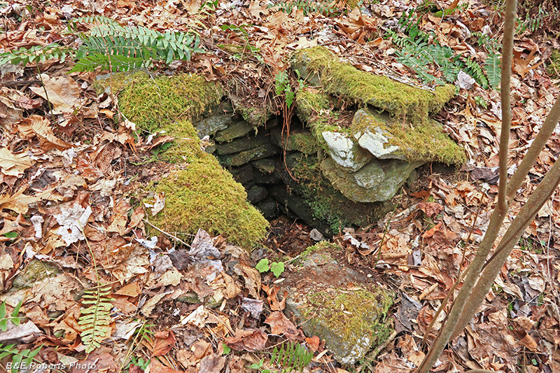
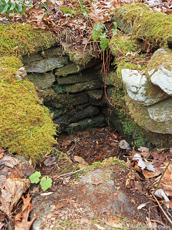
| But the home place had one of the nicer spring-boxes that we've found. |
|
 |
|
| Close-up of the rock-lined spring-box |
|
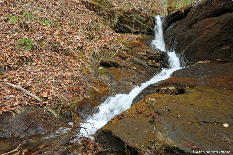
| Just beyond this homesite, the tributary made a pretty drop through a narrow cleft in the rock. |
|
 |
|
| Waterfall |
|
 |
|
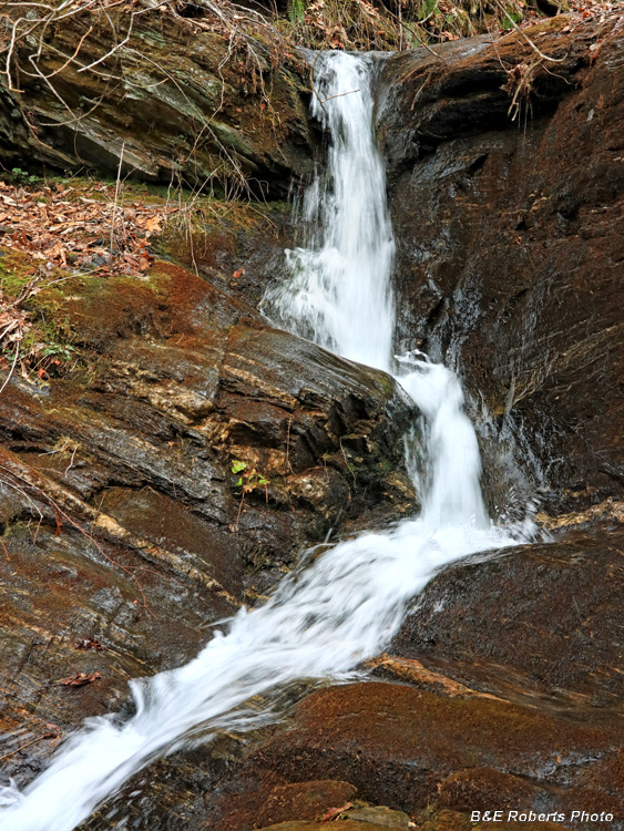
| Closer view of the falling water |
|
| According to the old map, the location of our next destination was further upstream on the main fork. Rather than backtrack down the tributary and then head up the main branch, we decided to angle up and over a few ridges and then cross down to the search area. Upon arriving at the general area, we found a few rock piles but nothing else that looked promising. The old map seemed to show the homesite at some distance from the creek, so we headed toward higher ground. |
|
 |
|
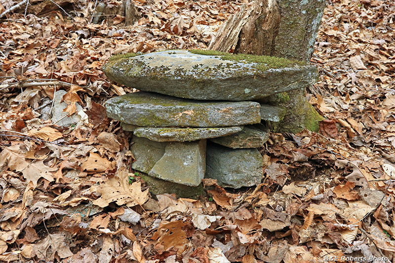
| The first thing we came across was what looked like a stacked rock corner support for a cabin, but there was nothing else close by. |
|
 |
|
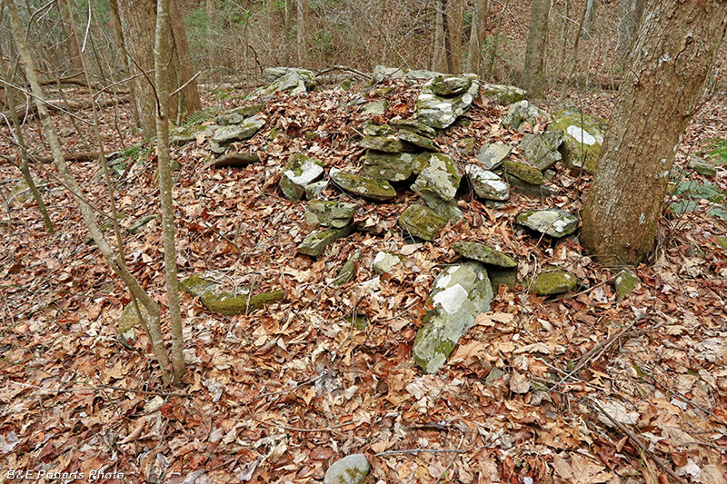
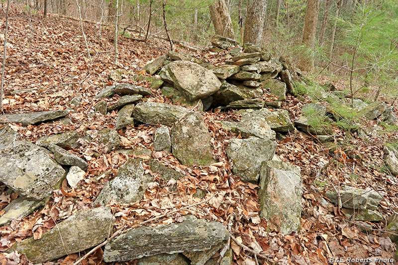
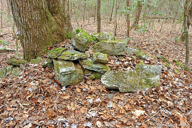
| Not too far distant, we spied some rock piles, and one of them turned out to be a collapsed chimney. This view is from the front, slightly to the right side. |
|
 |
|
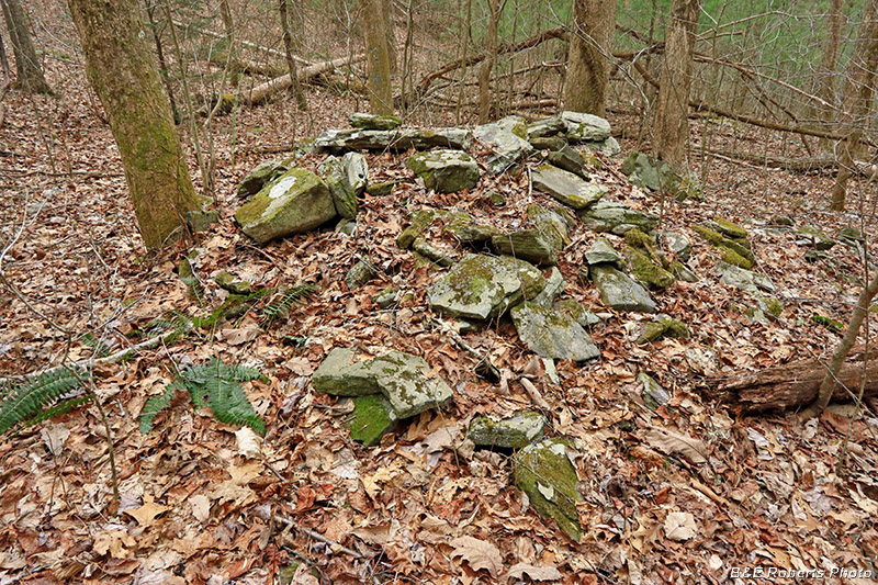
| Right side of the collapsed chimney at UN38. |
|
 |
|
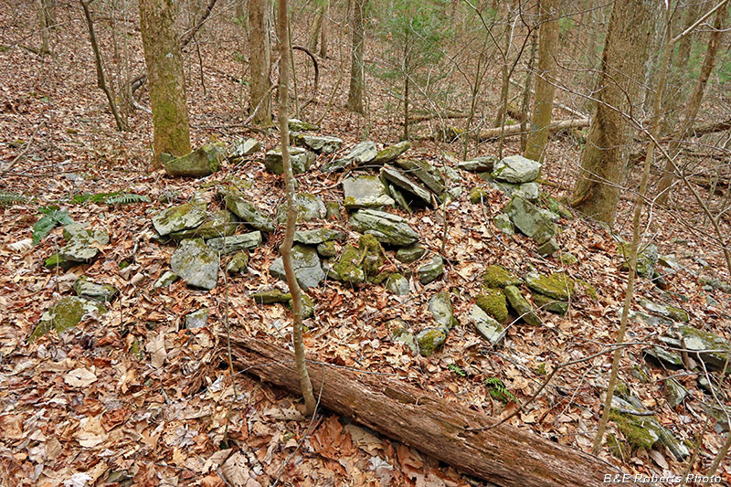
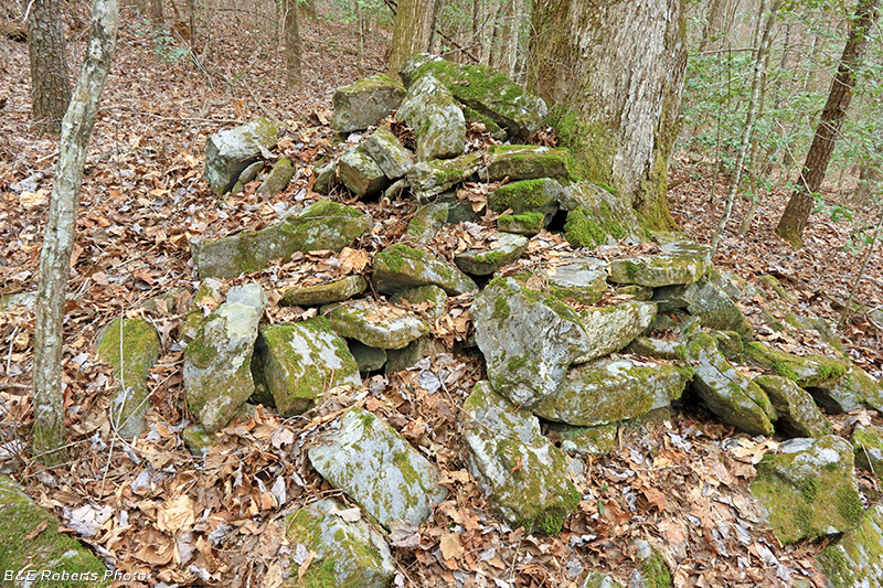
| Rear of the chimney |
|
 |
|
| Detail of right-rear corner |
|
 |
|
| Left side of the chimney |
|
 |
|
| Detail of left-front corner |
|
 |
|
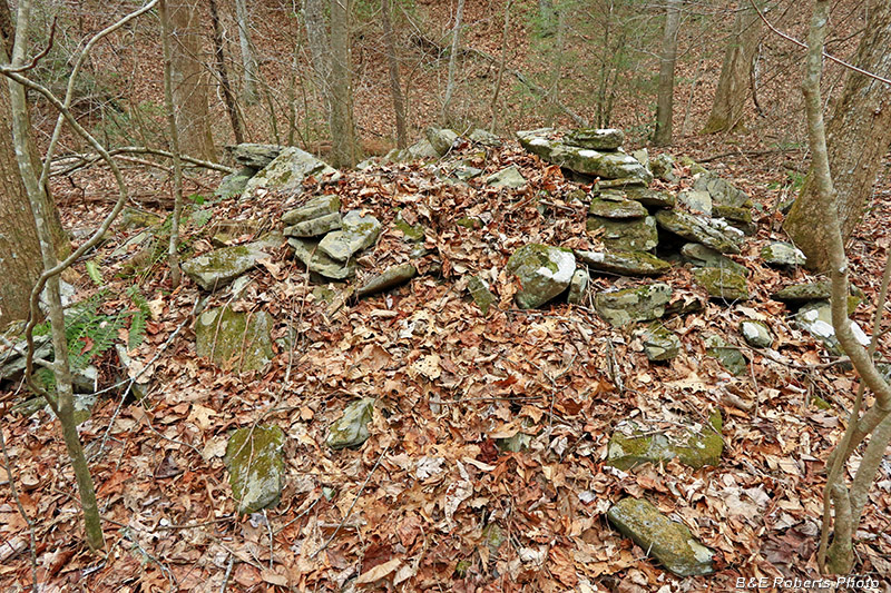
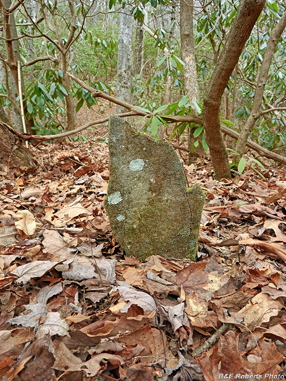
| I mentioned seeing several rock piles here also. Most were smaller, but this one, although I didn't notice any squared corners, almost looked like it might be another collapsed chimney. |
|
| We ate lunch next to the chimney, and then headed back down the mountain. Back at the base, we followed Cooper Branch upstream, where we had partially explored on our previous visit here. We had found one homesite on that visit, but we had seen at least one more site on the old map to look for. |
|
 |
|
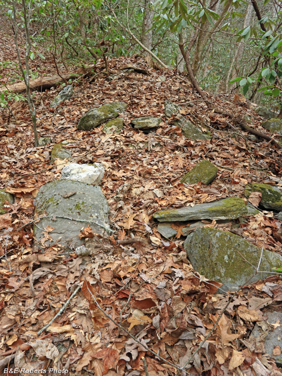
| The first site (UN39) we came to was odd. It appears to be a chimney that fell forward, but is in a very narrow area between an old trail and a steep slope down to a branch. |
|
 |
|
| Another angle, looking down the "collapsed chimney(?)" |
|
 |
|
| This rock stack was close by, but its location didn't fit use as a corner support. |
|
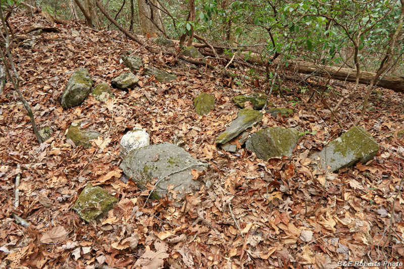
| We continued up the old trail, and passed by a small knoll with what appears to be a single fieldstone grave marker situated at the center. |
|
 |
|
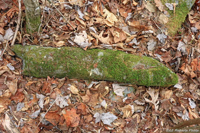
| Grave marker(?) |
|
| The old map only showed one house site up here. But we weren't sure if that first site (UN39) was a chimney or not, being in such a narrow location. While I was looking for more grave markers, Sheldon went further up and found another chimney pile that was definitely another homesite. |
|
 |
|
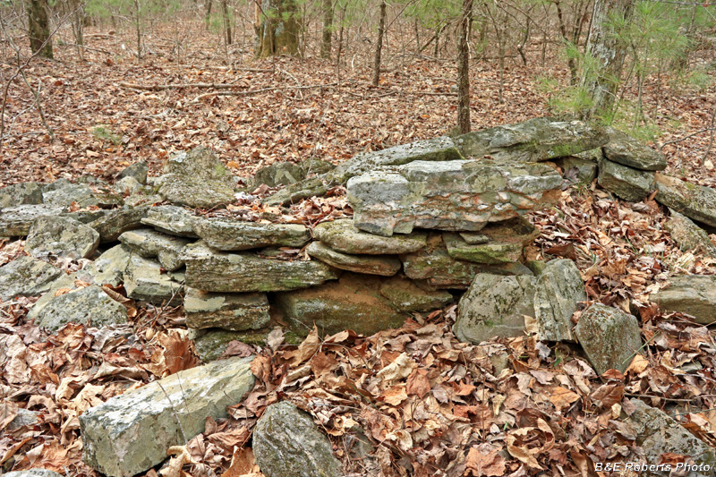
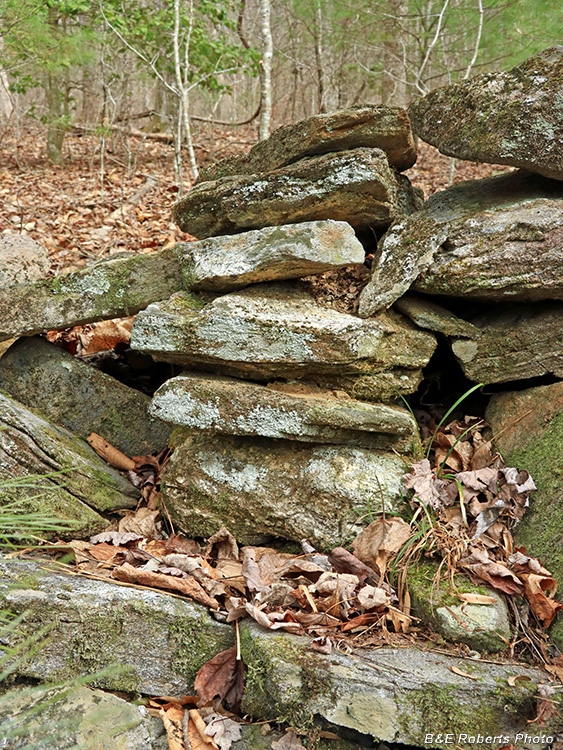
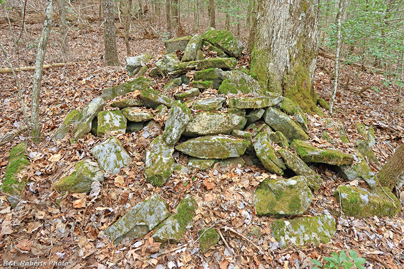
| Another large collapsed chimney (UN40) |
|
 |
|
| The large tree has shifted a lot of the rocks at the base of this chimney. |
|
 |
|
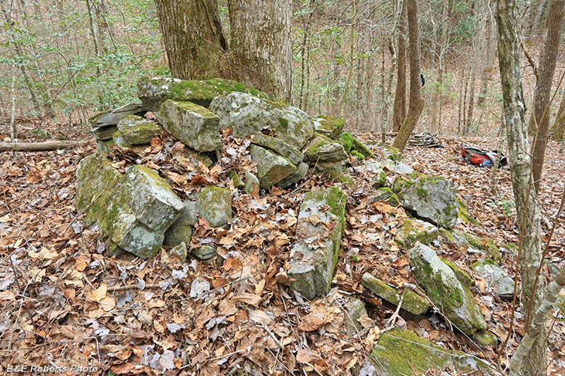
| You can make out one of the chimney corners on the left side. |
|
 |
|
| Chimney from another side |
|
 |
|
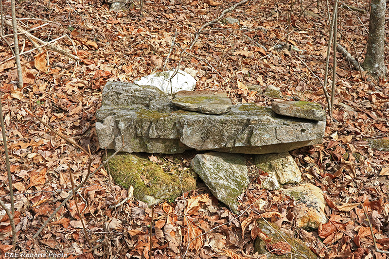
| Possibly the lintel stone from the fireplace. |
|
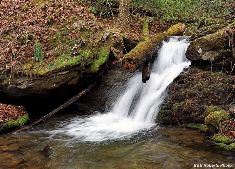
| Small waterfall on Cooper Branch. |
|
 |
|
| When I photographed this waterfall on our earlier visit, there was an ice formation at the end of that log above the falls. |
|
| Heading back down, we noticed several rockpiles below us on the main branch. |
|
 |
|
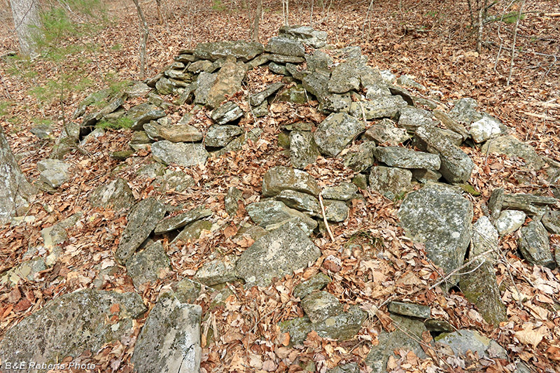
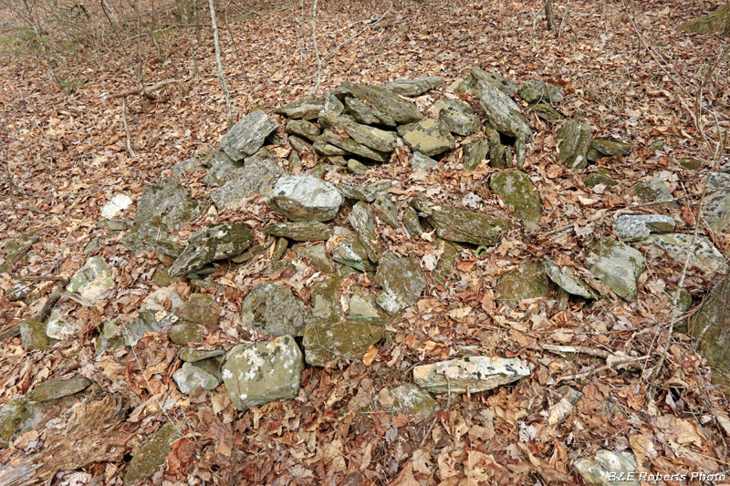
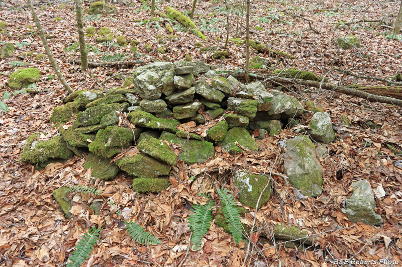
| Large rockpile These weren't chimney piles, as they were on the lower end of a slope. |
|
 |
|
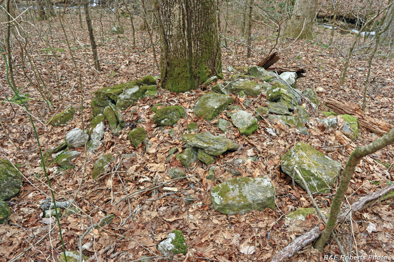
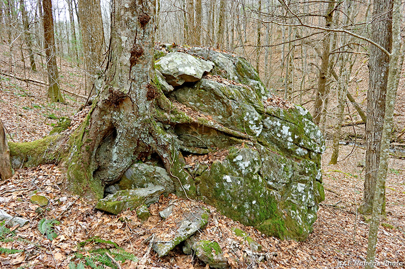
| Another large pile, with a tree grown up through the center. There were 4-5 of these piles within a small area. |
|
 |
|
| I'm not sure where this tree first started growing on this large boulder. Maybe a seed found a crevice about half-way up the side... |