| Autumn Color - 2025 Album 1 - Drone Photos |
All Text & Images: Copyright (2025) |
| Autumn Color - 2025 Album 1 - Drone Photos |
All Text & Images: Copyright (2025) |
| 1 - October 12, 2025 Each fall I make a loop through the Tuni Gap-Tusquitee Gap area to photograph the foliage. Per the USFS website, Tuni Gap Rd was still closed due to a landslide, so I wouldn't be doing that loop this year. It was still almost two weeks early, but I drove up to the Tusquitee Gap area to ensure that road was open and to scout out any early color. About the only decent color so far up there was, looking toward the east, the west-facing slopes with the late afternoon sun on them. |
|
 |
|
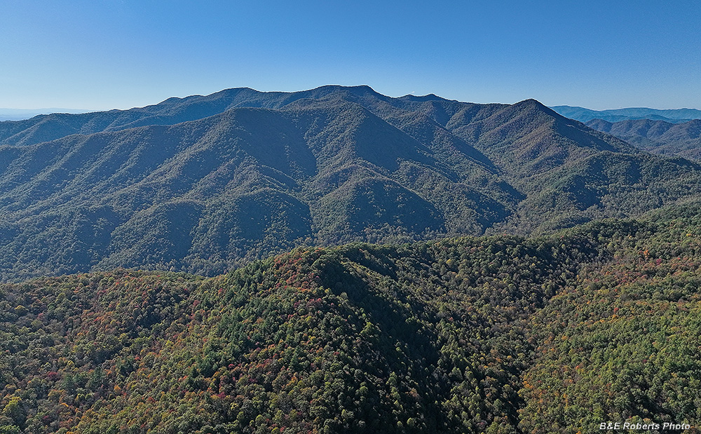
| View to the west, toward the Tusquitee Range. Shooting into the sun, just out of frame on the left. Tusquitee Bald and Signal Bald are the two adjacent peaks at the center. Just a very few spots of color so far. |
|
 |
|
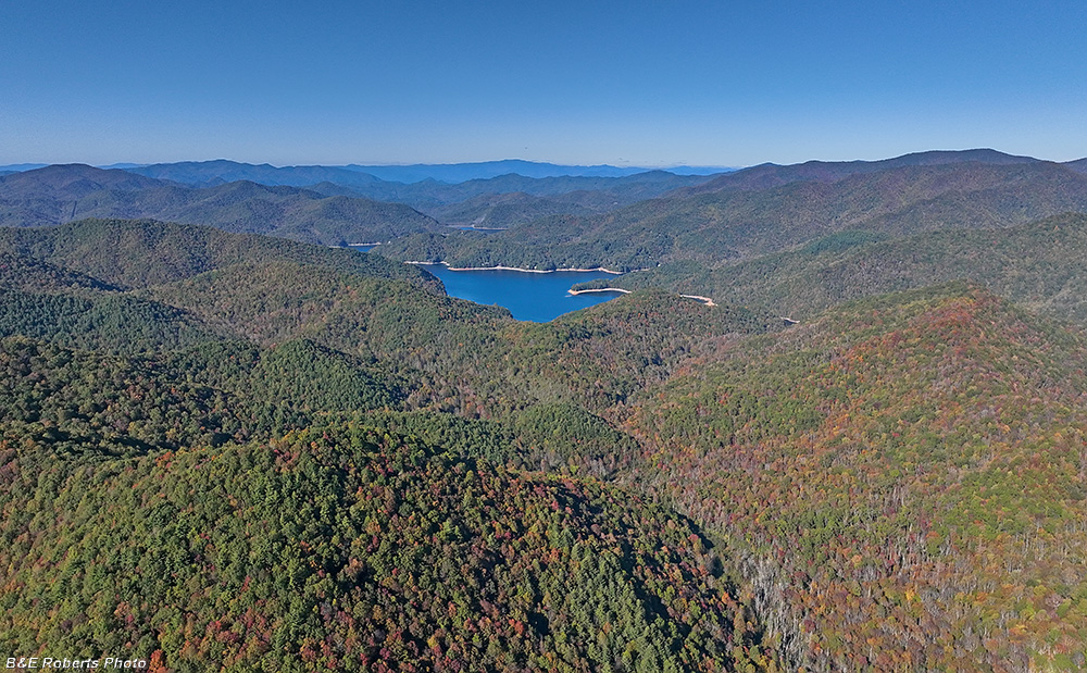
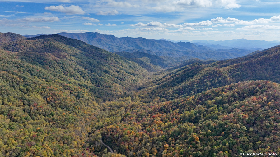
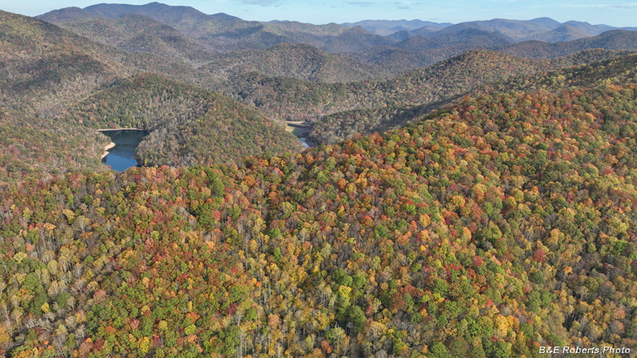
| View to the south, Tusquitee Gap at center, Lake Chatuge at far upper right. A bit of color coming along down in the drainage. |
|
 |
|
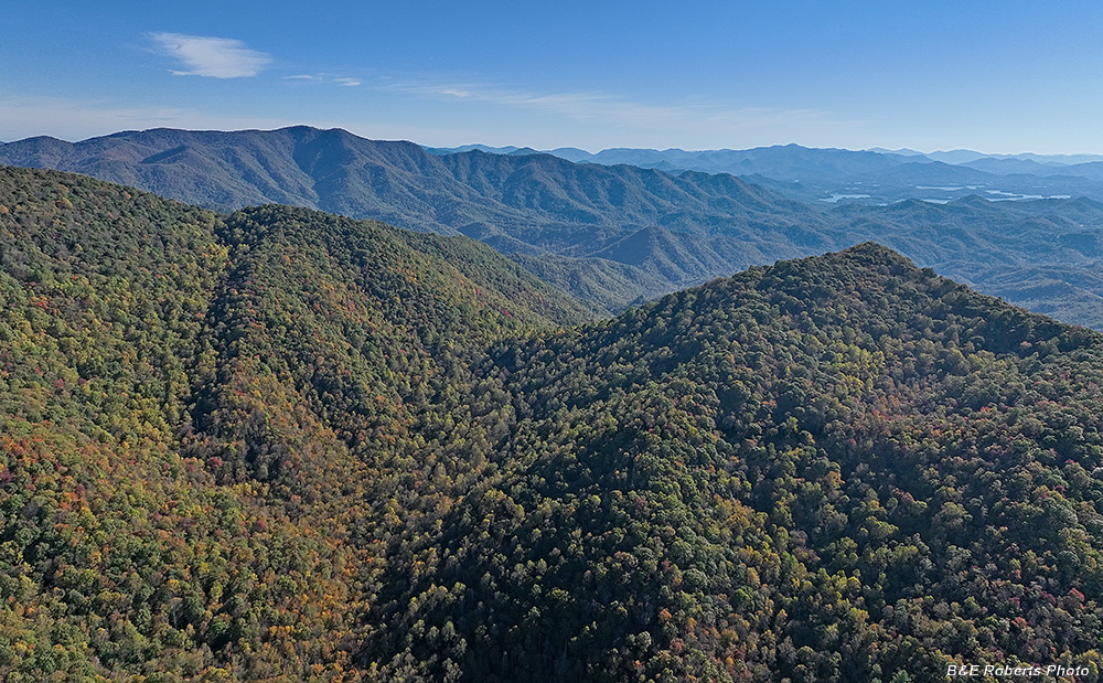
| View north toward Nantahala Lake. You can see some color on the slope at lower right, which faces the west. |
|
 |
|
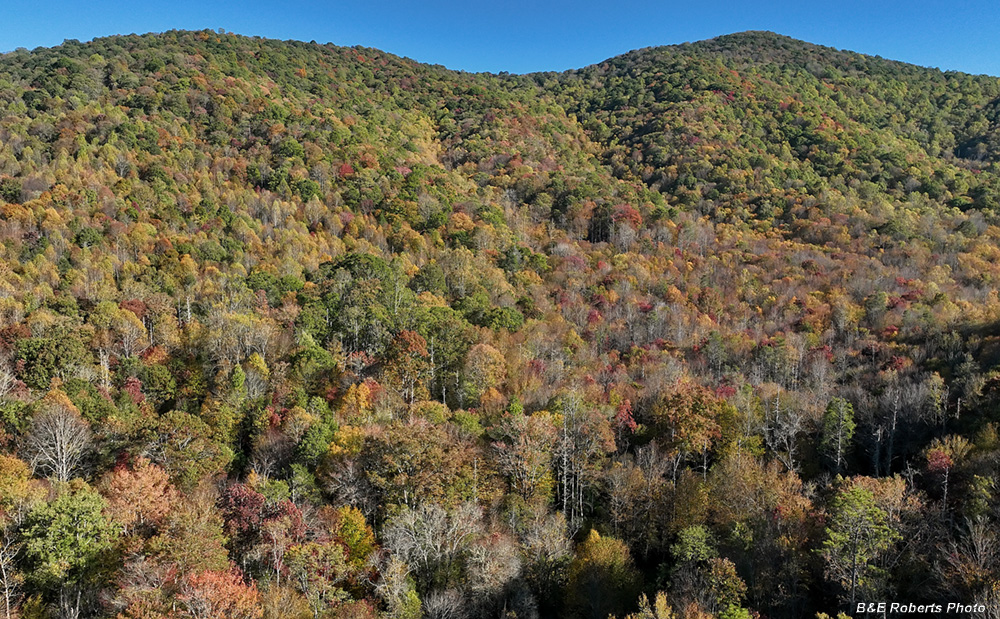
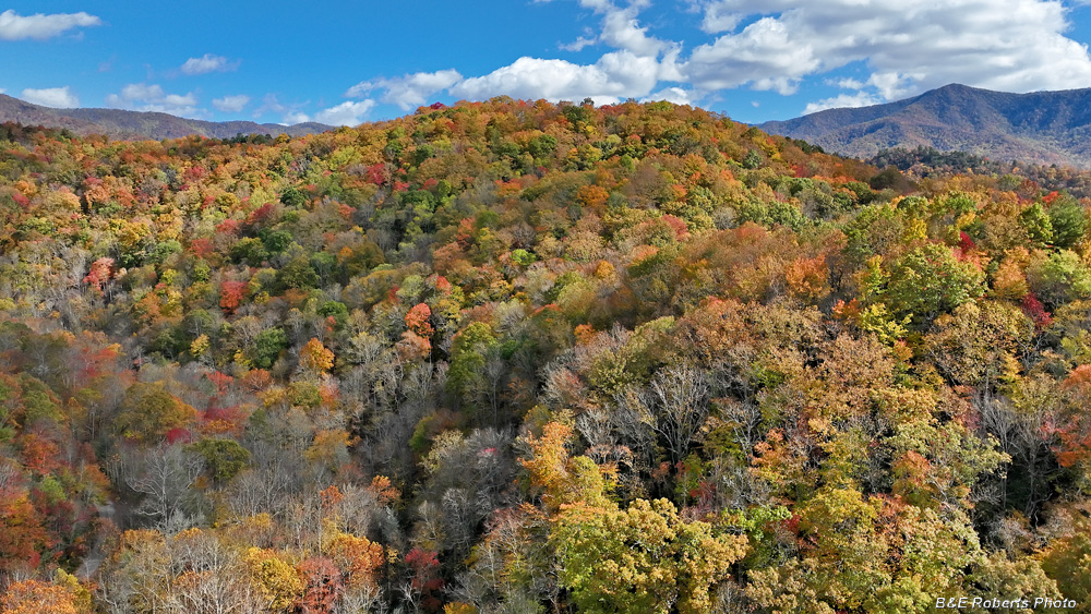
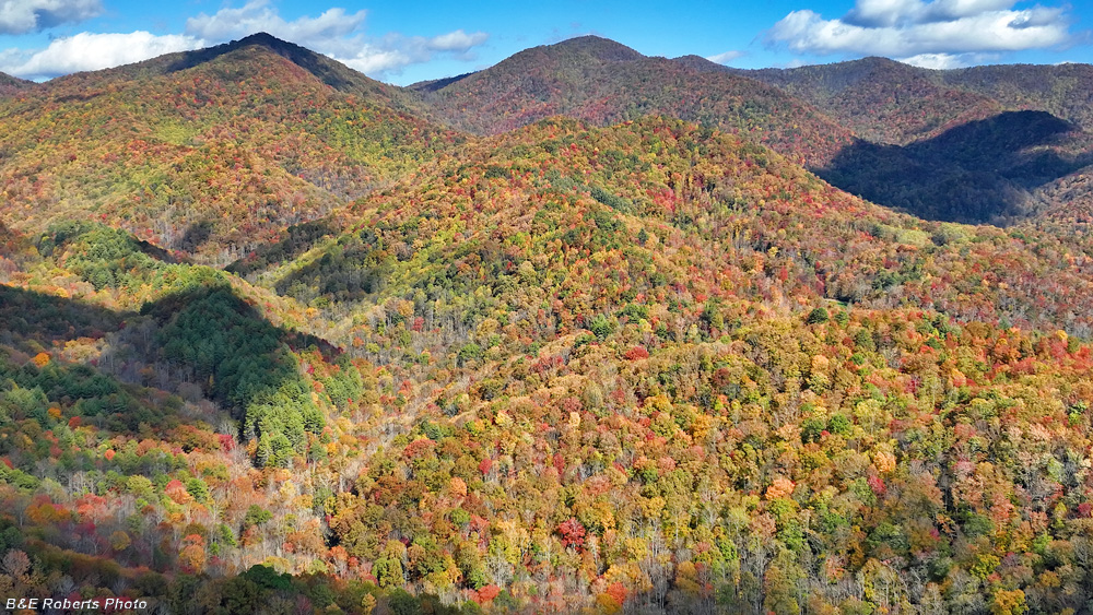
| The best color so far was this west facing slope as one looks to the east. |
|
 |
|
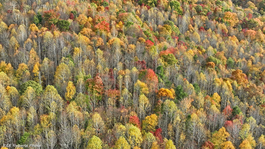
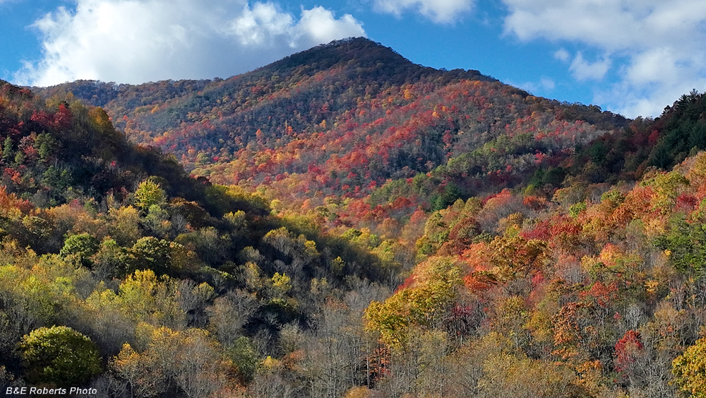
| A decent patch of early color, looking at the lower part of the west facing slope. |
|
| 2 - October 17, 2025 Discovering that Tuni Gap Rd WAS in fact open, I went looking for more foliage color on my Tuni-Tusquitee loop. Still a bit early but things were starting to improve at higher elevations. The color was sporadic, with colorful mountain-sides surrounded by other mostly green areas. |
|
 |
|
| From above Bob Allison Campground, the view down Big Tuni Creek. |
|
 |
|
| The view west up to Dead Line Ridge |
|
 |
|
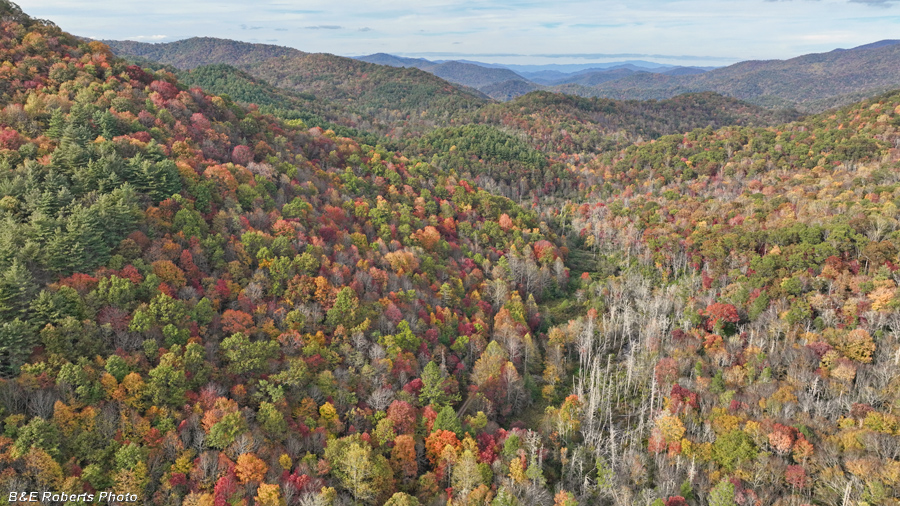
| A lower elevation view down the Big Tuni drainage. |
|
 |
|
| After driving to another launch spot north of Tusquitee Gap, this northern view looks down the watershed of Clear Creek. |
|
 |
|
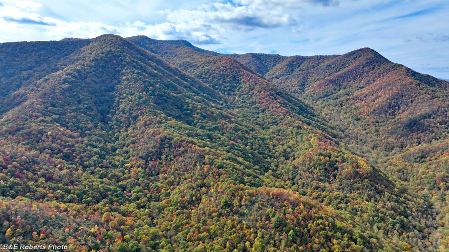
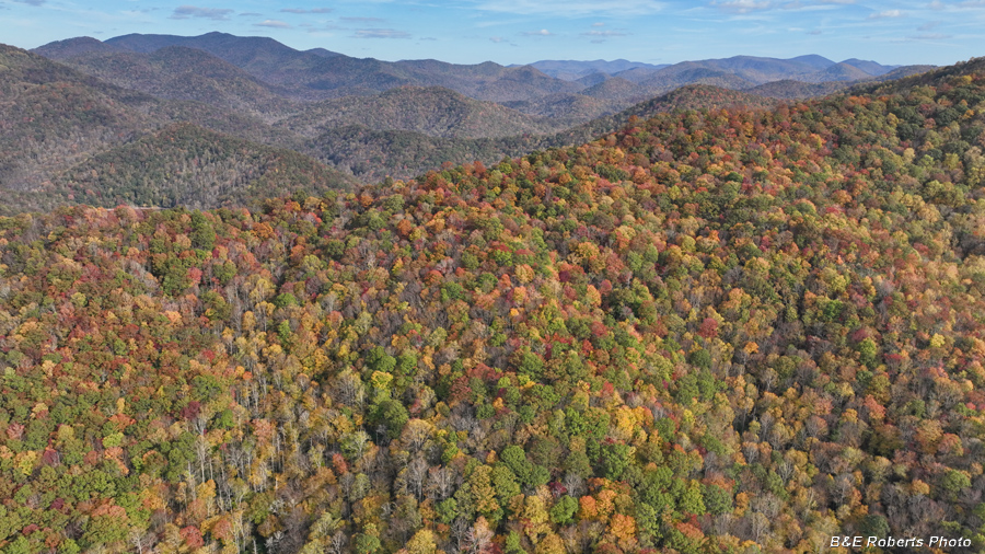
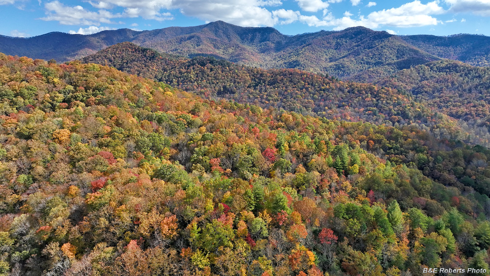
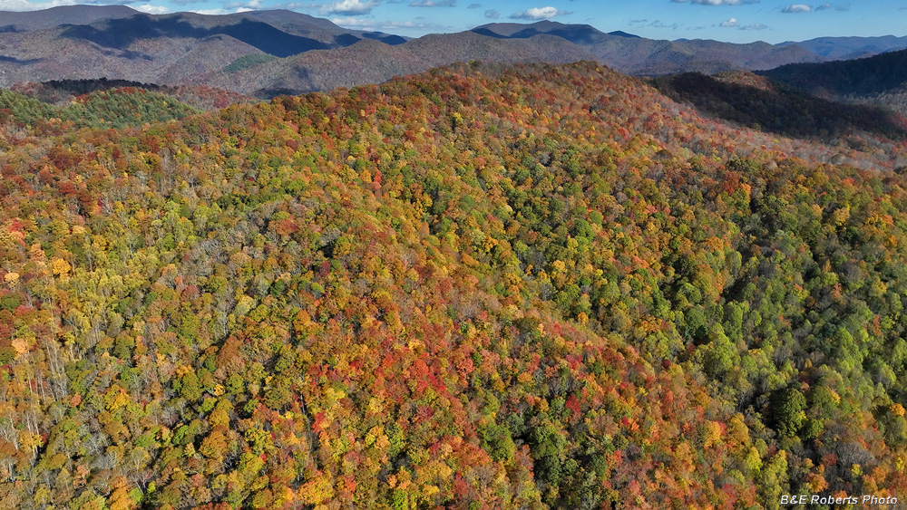
| Some nice color on a ridge to the east. |
|
 |
|
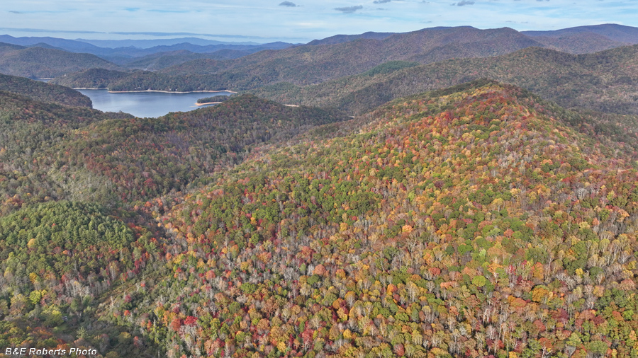
| View toward Nantahala Lake with one colorful mountain-side, and the rest more green. |
|
 |
|
| Un-named ridge east of Clear Creek |
|
 |
|
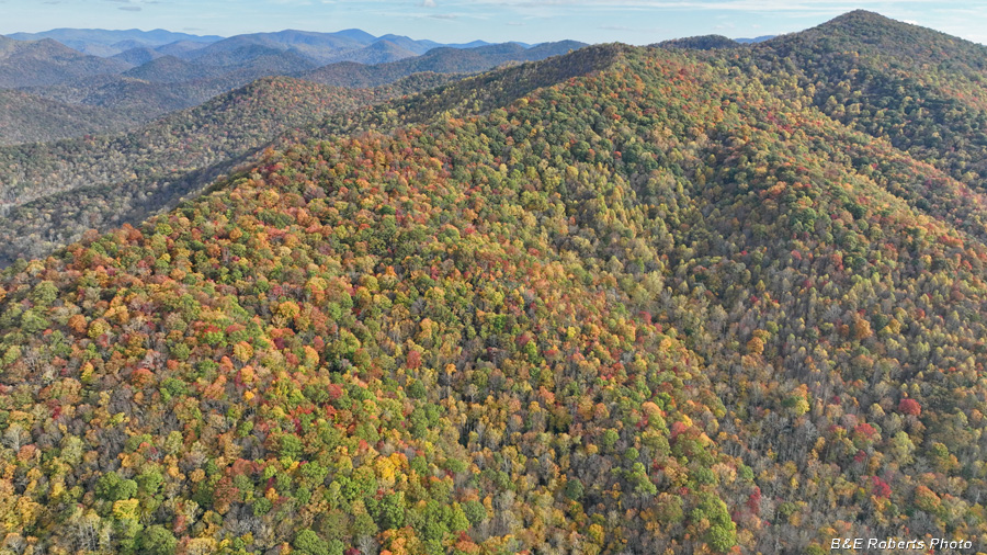
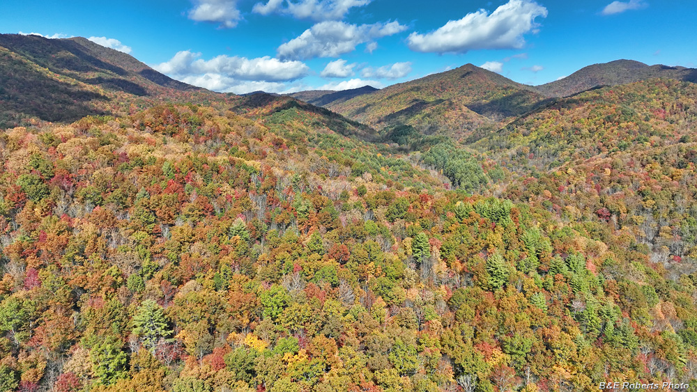
| Sections of Nantahala River upstream of the lake. An example of one ridge with nice color, surrounded by mountains with much less vibrant color. |
|
 |
|
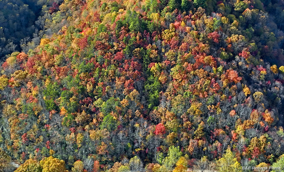
| Looking down on more colorful foliage |
|
 |
|
| View down on a bottom-lands area, where many trees had already lost their leaves. |
|
 |
|
| Another view northward above the headwaters of Clear Creek. |
|
 |
|
| Lower ridge, where more trees had already dropped their leaves. |
|
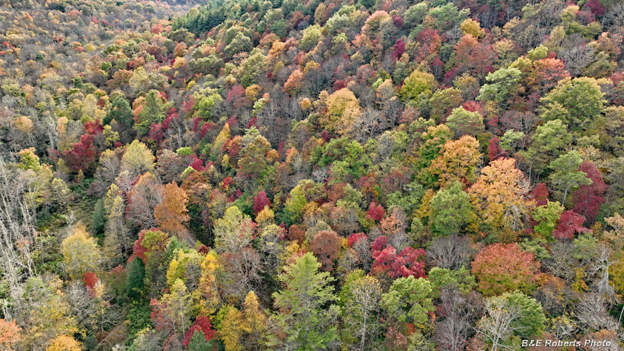
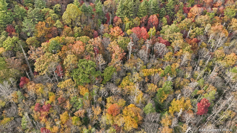
| 3 - October 31, 2025 After a week of rain and winds, I went out Halloween afternoon to photograph more leaf color. Comparing the foliage with my past images from some of the same spots, it wasn't as colorful overall as last year, but was still very pretty. |
|
 |
|
| I first launched the drone at a spot near the bottom of Tuni Gap road to capture some of the color on the lower slopes. |
|
 |
|
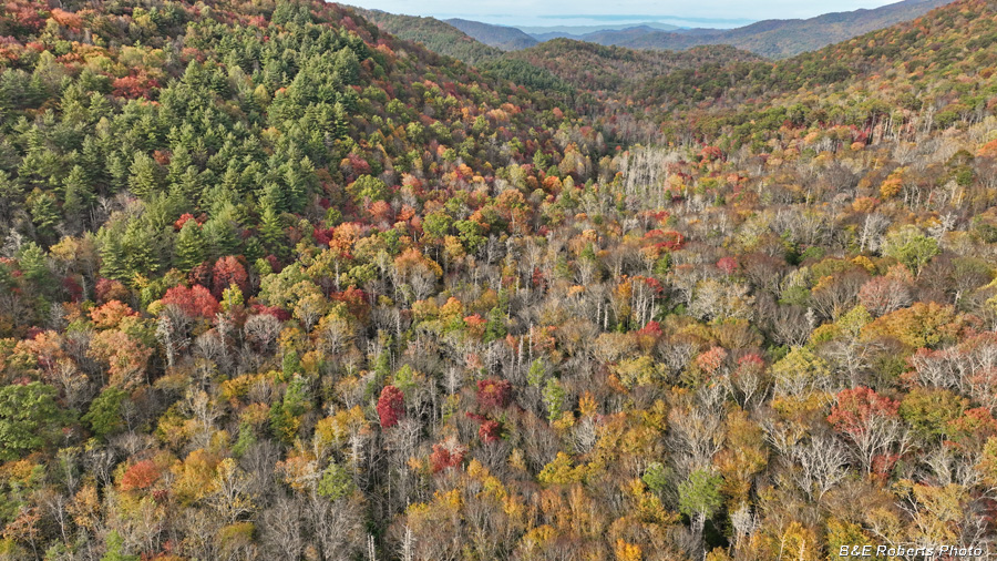
| Looking up the steep valley of Big Tuni Creek (on the right). |
|
 |
|
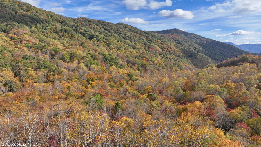
| Color on the ridges |
|
 |
|
| Another view a little further up, with Big Tuni Creek's drainage on the left this time. |
|
 |
|
| The next launch-point for the drone was Bob Allison campground. This view is NW looking at Clay Knob. |
|
 |
|
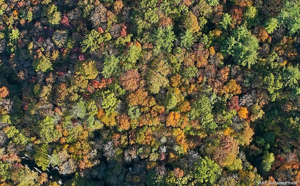
| Looking down on a colorful spot. |
|
 |
|
| View more or less to the east. |
|
 |
|
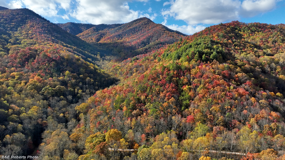
| Another view to the NW, with the upper drainage of Big Tuni Creek on the left side. Tuni Gap Rd is visible at the bottom of the image. |