| Powell Valley - Bob Branch Area Waterfalls & Explorations in this Watershed |
All Text & Images: Copyright (2018) |
| Powell Valley - Bob Branch Area Waterfalls & Explorations in this Watershed |
All Text & Images: Copyright (2018) |
| Cross Mountain Branch - a March 2018 exploration with Bernie Boyer Bernie and I had both (independently) noticed an interesting indication on Google Earth, near the middle reaches of Cross Mountain Branch at approx. 2700-2800 feet elevation. It appeared to be a high-walled, right-angled gorge where the creek made a sharp turn before heading down the mountain. The down-stream section of the gorge featured a pretty series of waterfalls about 50 feet high in total. The upper canyon itself, at least 100 feet deep, was rather interesting from a geological standpoint, but was relatively flat and did not contain any significant drops. |
|
 |
|
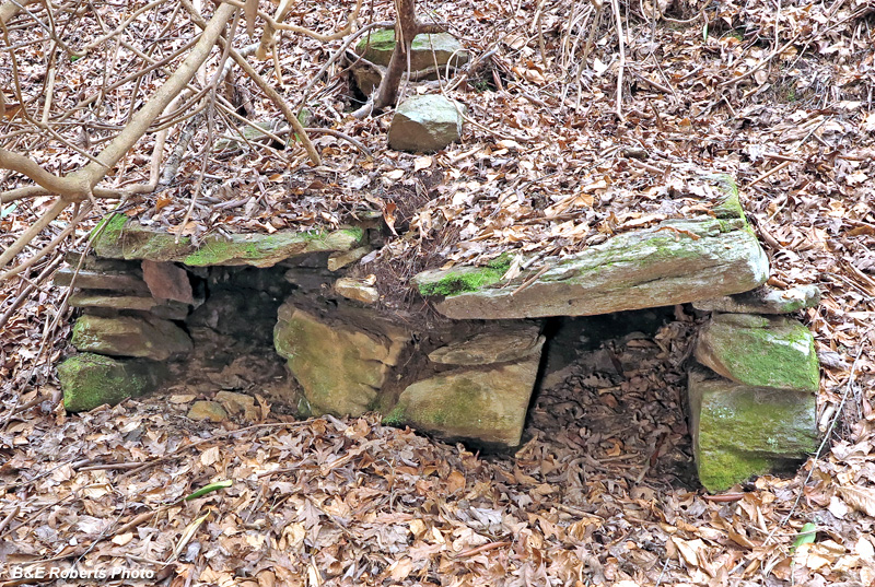
| We passed this pair of stone structures on the way in. Maybe a double furnace for an old moonshine still, but it doesn't look like the U-shaped cookers I typically see at stills, and it wasn't very close to the creek. Could have also been left over from the old logging operation that was in here... |
|
| Having previously seen the rhododendron and deadfall-choked cascades on the lower section of Cross Mountain Branch, we headed up a draw NE of the branch. |
|
 |
|
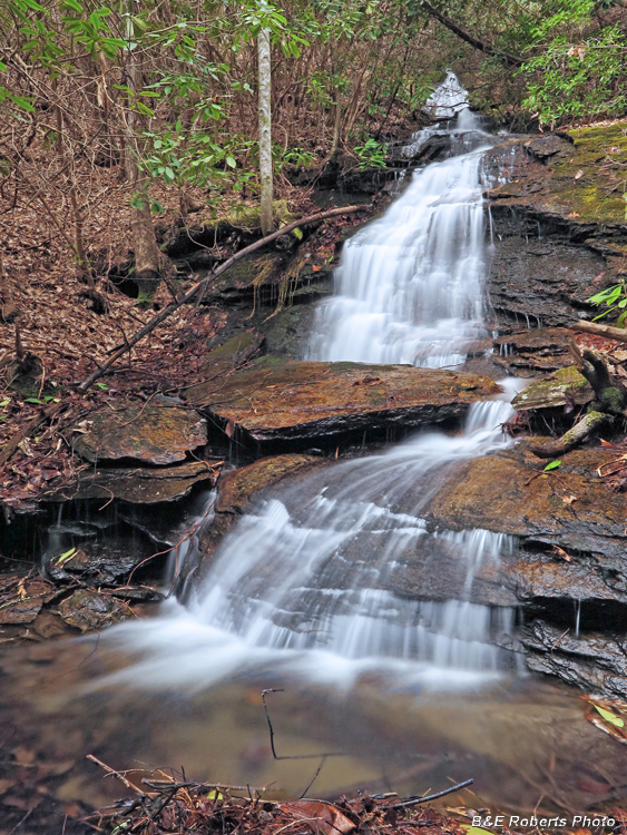
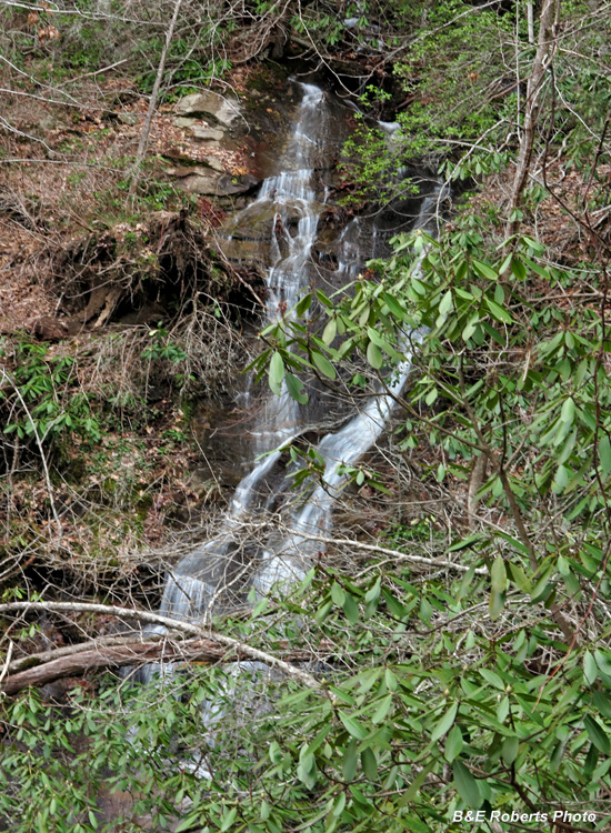
| Upper falls on Cross Mountain Branch, just below the entrance to the gorge. |
|
 |
|
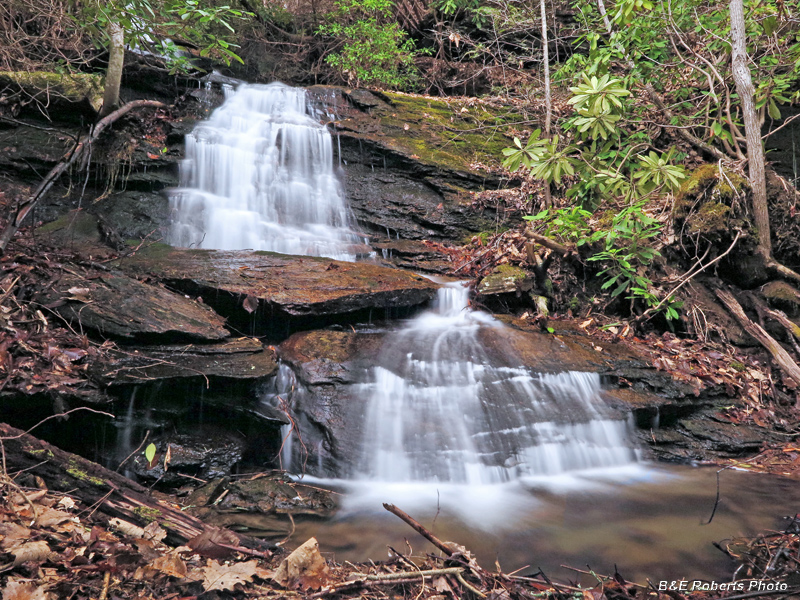
| The two lower drops of the falls, from the other side of the creek |
|
 |
|
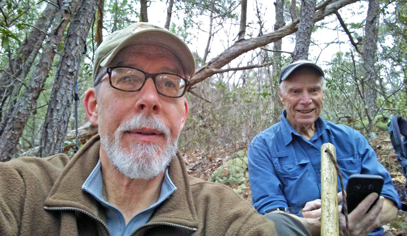
| I rarely take selfies... but Bernie and I were taking a snack break, and he had just sent a pic to a friend of ours... |
|
 |
|
| Middle Falls It was so full of clutter that we just took hand-held shots from high on the bank. |
|
| January 2020 I was in the area looking for old home sites, and decided to photograph the falls on Tom Branch, since I was so close. |
|
 |
|
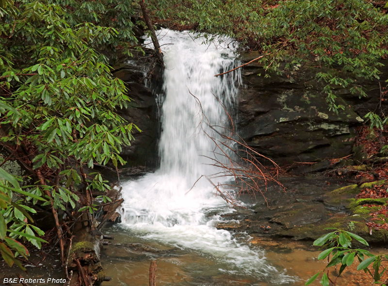
| Waterfall on Tom Branch |
|
 |
|
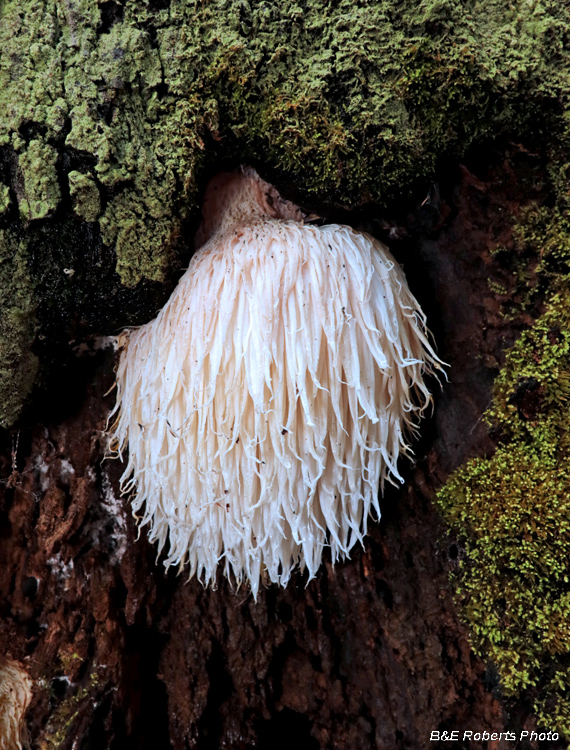
| Saw this nice Lion's Mane (Hericium erinaceus) on the way in. |