| Other Explorations - 2 More Homesites on the "Twin Mtn" Peninsula Mid-November 2025 - Towns County, GA |
All Text & Images: Copyright (2025) |
| Other Explorations - 2 More Homesites on the "Twin Mtn" Peninsula Mid-November 2025 - Towns County, GA |
All Text & Images: Copyright (2025) |
| I made a return visit to this Forest Service property on Lake Chatuge, to search additional areas for old homesites. I primarily searched the north portion of the peninsula, which I'd not covered back in April. This time I had five potential sites to look for, based on the old maps. All appeared to be about on the Chatuge shoreline, where the cyclic summer-winter lake levels play havoc with any ruins that remain. The first two sites were either gone or underwater, while I found a few remains at the next two. The final site was the highlight; it must have been a fancy place before Lake Chatuge displaced it and its inhabitants. 1 - Homesite TO32 |
|
 |
|
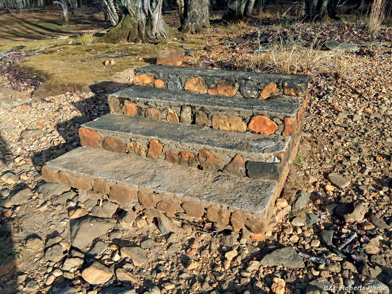
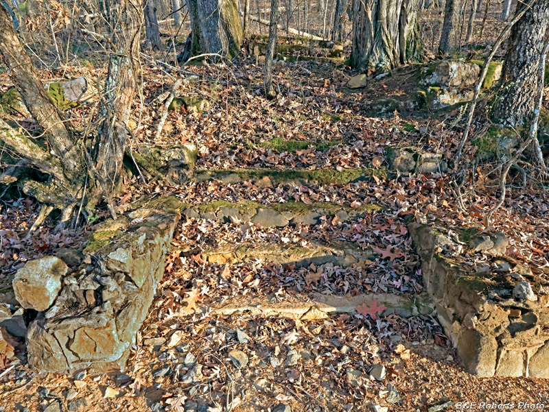
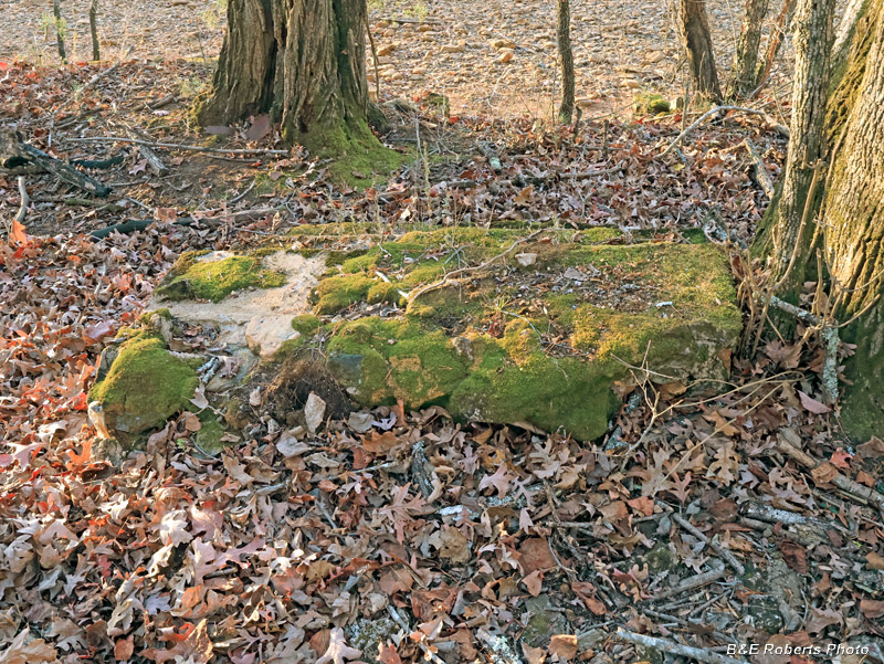
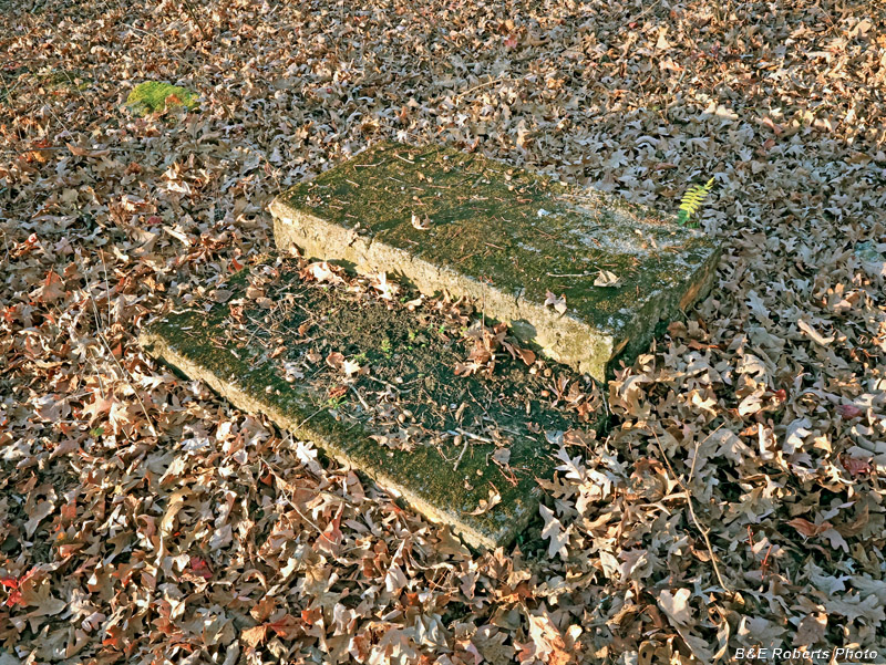
| A set of mortared stone steps. |
|
 |
|
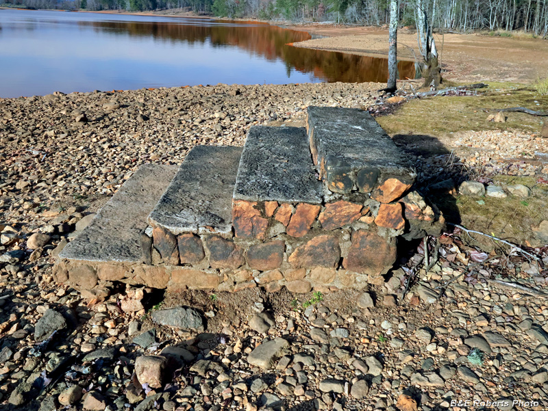
| Situated between the summer and winter pool levels, 85 years of constant wave action hasn't left much here beyond the substantial piece of masonry. |
|
 |
|
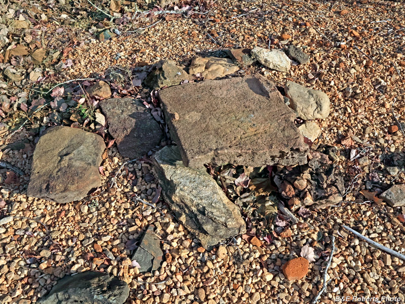
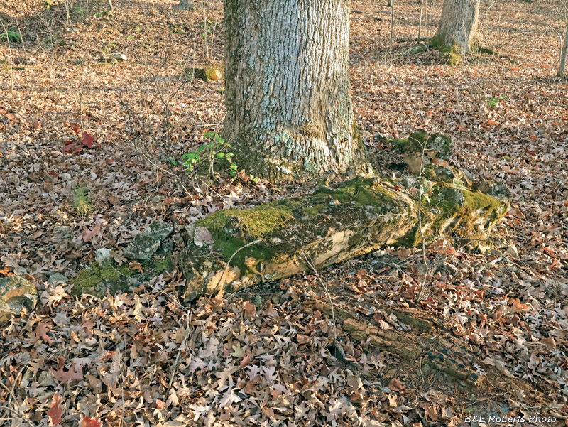
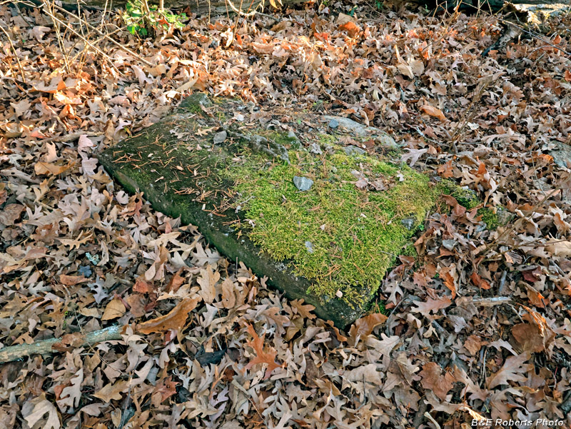
| A few scattered flat fieldstones and pavers... |
|
 |
|
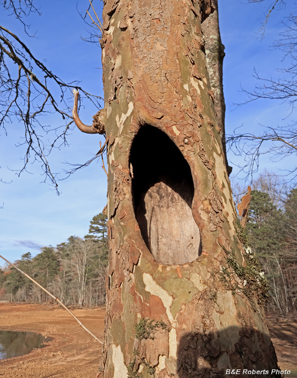
| Cavity in a Sycamore tree |
|
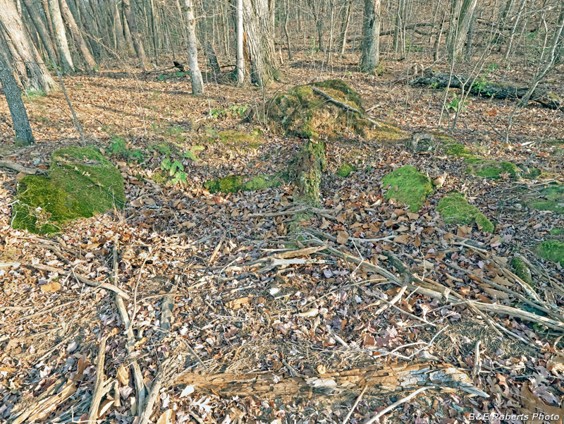
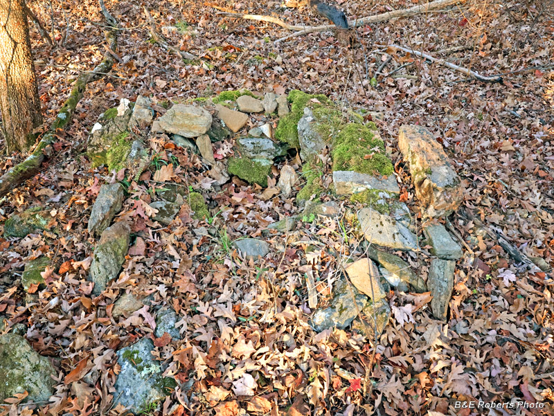
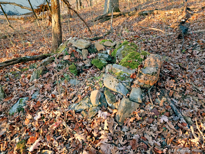
| 2 - Homesite TO33 Further along the shore, the next site had a few more remains than the first place. It was at a slightly higher elevation; some of it would barely remain above the water line even in summer. |
|
 |
|
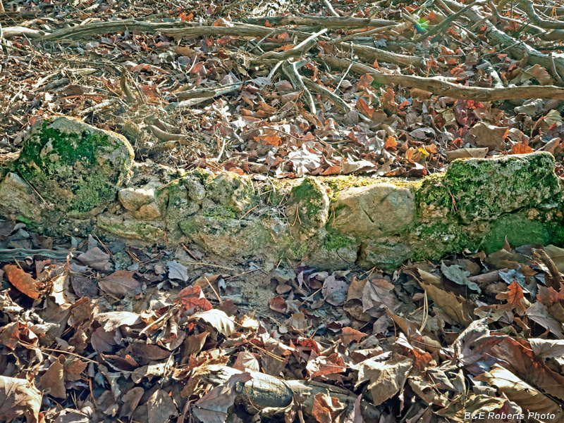
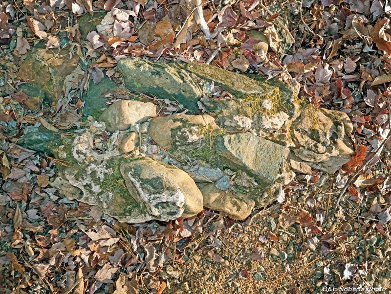
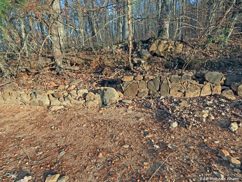
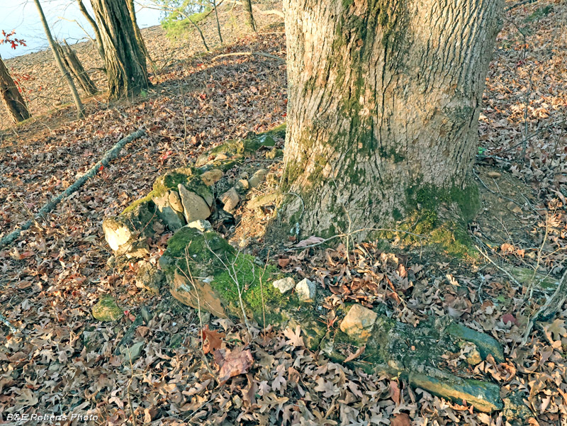
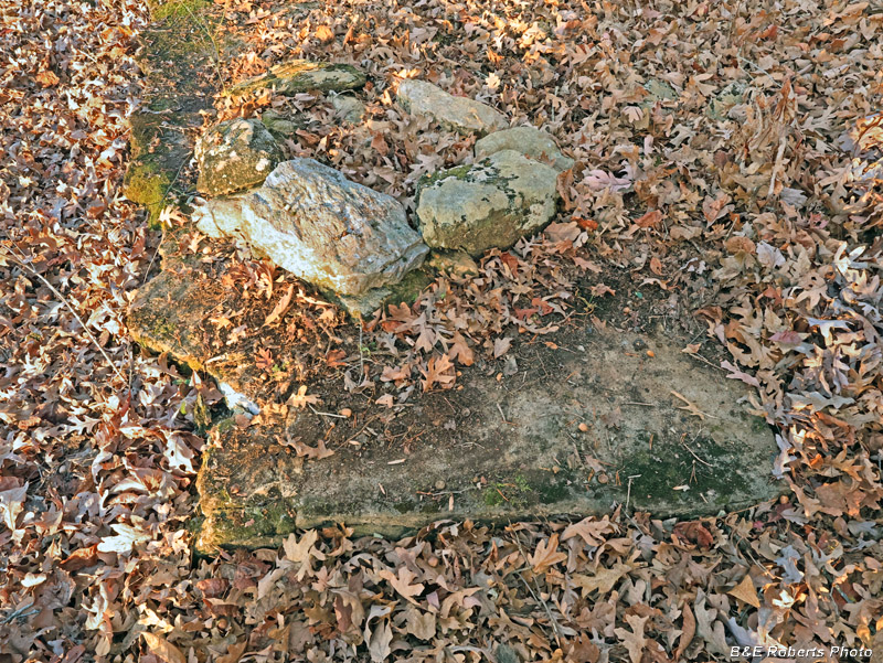
| Portion of a mortared rock wall. |
|
 |
|
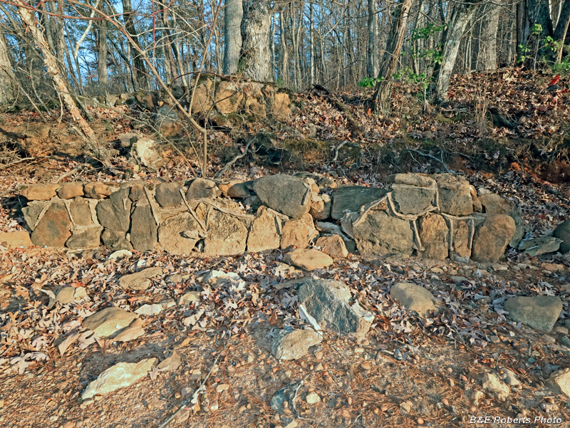
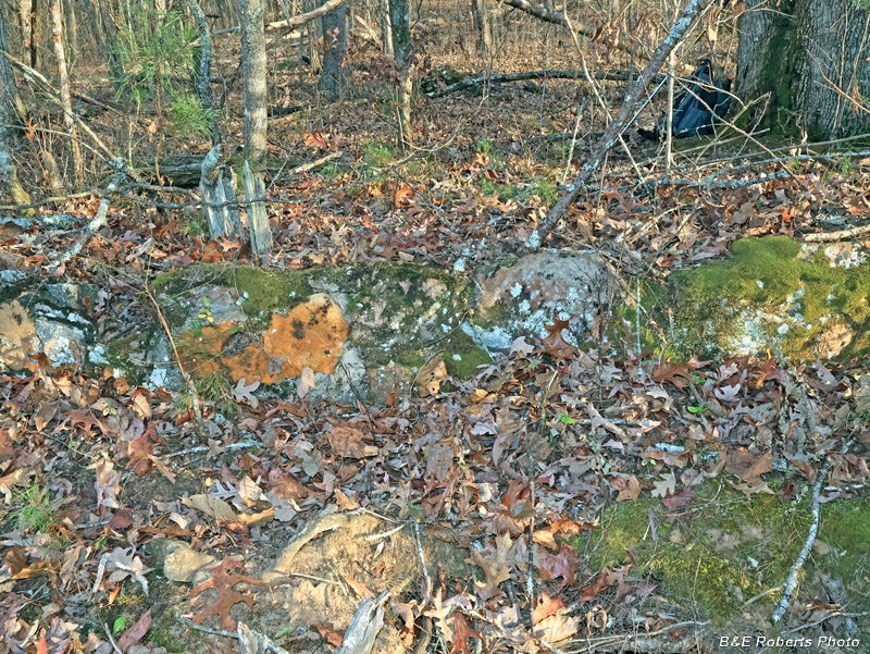
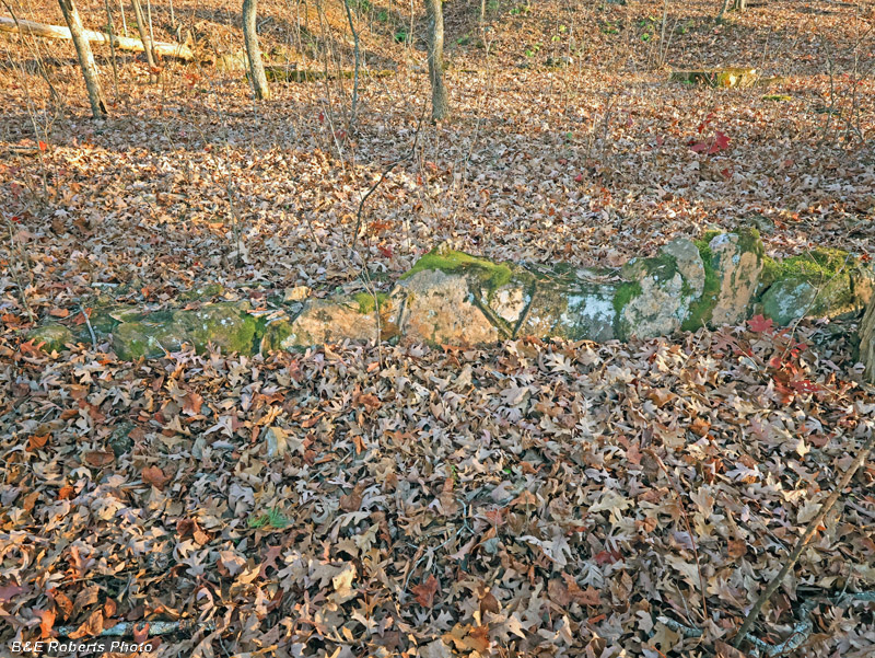
| Other fragments of mortared rock wall were scattered about the summer level shoreline. |
|
 |
|
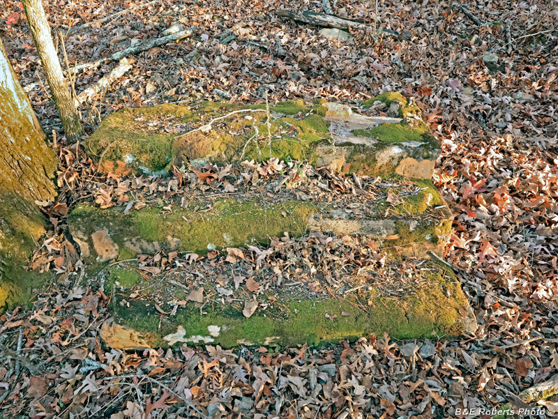
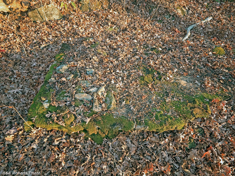
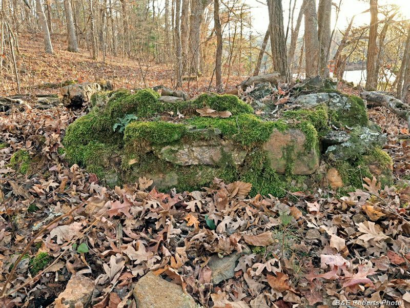
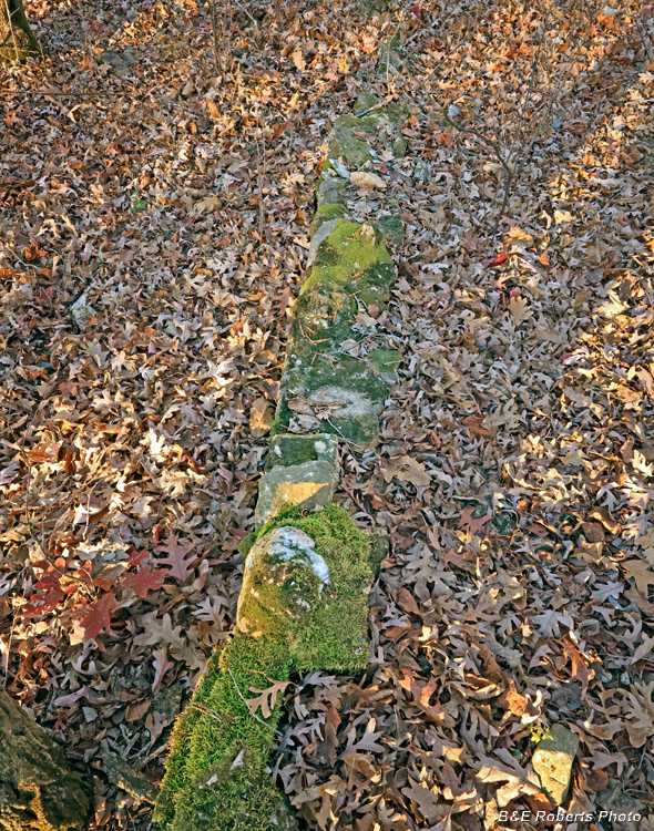
| It's hard to see in this image, but the green moss-covered slabs are more big sections of mortared rock walls. The lower part of the image is the summertime high water mark. The lake is behind me. |
|
 |
|
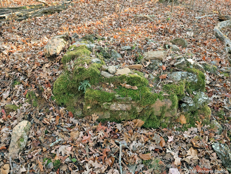
| Not far from the wall slabs is the old well, that was filled in years ago; the fill has settled some. |
|
| 3 - Homesite TO34 Not much further down the shoreline, things got more interesting. The old homesite here was at a high enough elevation that it never was inundated by the lake's waters. |
|
 |
|
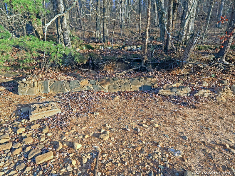
| This stairwell leads up from the winter-level shore / beach. The old road (pre-1942, before Lake Chatuge was filled) ran directly in front of this homesite; I was standing in what was probably the road back then. A second stairway can be seen about 20 feet beyond the top of this one. |
|
 |
|
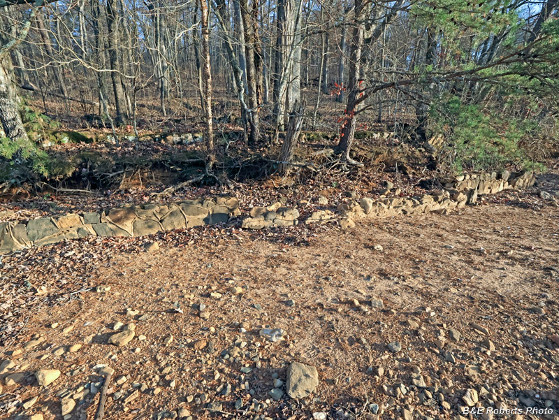
| This lower wall probably ran alongside the old road. I called this place "the estate" because of all the fancy stonework that can still be seen 85 years after the last inhabitants had to move due to the new TVA lake. |
|
 |
|
| Note the "grapevine" style of mortar on the stone walls. The similarity of the masonry work here with the examples at the previous two sites, along with their proximity, make me wonder if these were all part of the same tract. |
|
 |
|
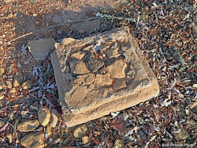
| The base for some kind of column... |
|
 |
|
| The column base in relation to its surroundings... 83 years of annual summer-winter changes in lake level have eroded the shoreline and damaged much of the wall structures. |
|
 |
|
| In this and the previous photo, a second stone wall can be seen about 15 feet behind the front wall, running parallel to it, at a higher elevation. |
|
 |
|
| A section of the second wall, considerable rougher than the front wall. |
|
 |
|
| The "upper" stairway, referenced in the first image from this homesite. At first I thought it was one of the stairs into the old house, but if so, it was moved, because the house foundation is another 10-12 feet beyond (a section of it is seen at upper right of photo). |
|
 |
|
| Rear view of the same stairs The dry winter lake shore is seen at the top of the image. |
|
 |
|
| A section of the foundation wall of the old house. |
|
 |
|
| Corner of the foundation wall. |
|
 |
|
| Same corner, from the other side. It's taken a few years for that size tree to grow up inside the house! |
|
 |
|
| Another set of steps, on the southern end of the house. |
|
 |
|
| Large concrete slab within the eastern side of the house footprint. It looks like someone had a campfire here in the past. |
|
 |
|
| Another slab within the north-eastern footprint. |
|
 |
|
| A smaller slab, also within the house interior. |
|
 |
|
| Remains of the collapsed chimney, from the front (inside). |
|
 |
|
| Right oblique view of the collapsed chimney. |
|
 |
|
| Chimney from the rear. |
|
 |
|
| Another rear view of the chimney, from a slightly higher viewpoint. The upper part of the image would be the interior of the house. |
|
 |
|
| Another section of the foundation wall. Pacing it off, I estimated that the house would have been about 40 ft. x 36 ft. That was a pretty impressive structure for this area. |
|
 |
|
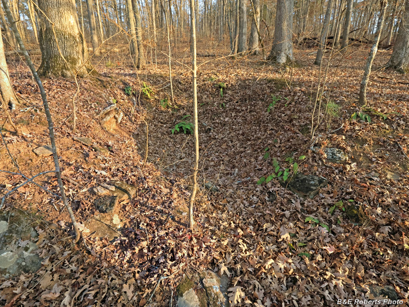
| On my way back, I came across an excavated area that looked like it might have been an old cellar. |
|
 |
|
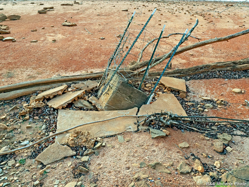
| This well housing has sat over this well since before the lake was built, in and out of the water every year with the seasons, but some time between April and now, it has started to collapse into the old well. |
|
 |
|
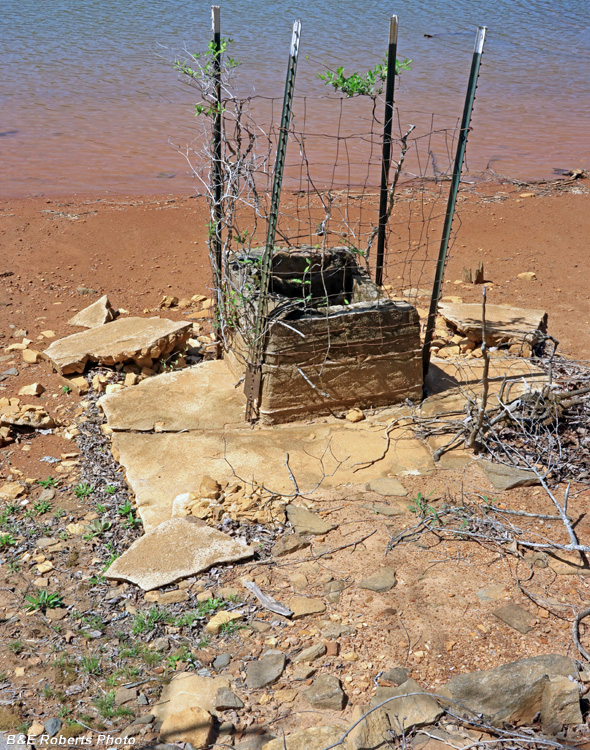
| Compare this photo from April 2025. |