| Tray Mountain - January 2022 Towns & White Co's, Chattahoochee Natl. Forest |
All Text & Images: Copyright (2022) |
| Tray Mountain - January 2022 Towns & White Co's, Chattahoochee Natl. Forest |
All Text & Images: Copyright (2022) |
| A trek up to Tray Mtn. on a sunny, but cold and breezy, January day. On a rather brisk afternoon, I didn't see anyone around this usually popular section of the AT until I met a (cold-looking) couple on my way back down. This mountain was originally known as Trail Mountain, due to all the Native American trails in the area. Sometime in the late 1800s, it began showing up on maps as Tray Mountain, probably due to a mis-hearing of its "real" name. |
|
 |
|
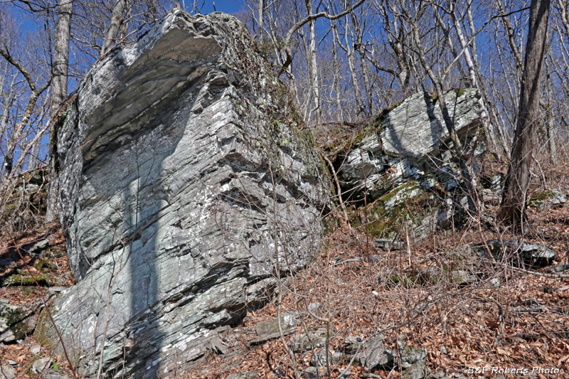
| Boulders along the trail |
|
 |
|
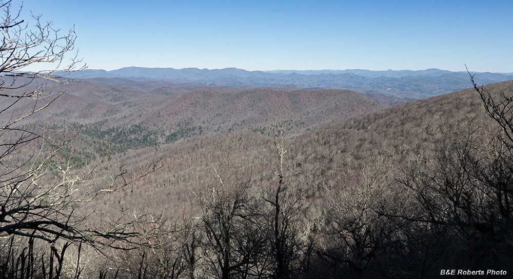
| Before reaching the summit, there is a viewpoint near one of the switchbacks. This view to the NE shows the ridgeline that the AT follows as it heads toward Dick's Creek Gap. |
|
 |
|
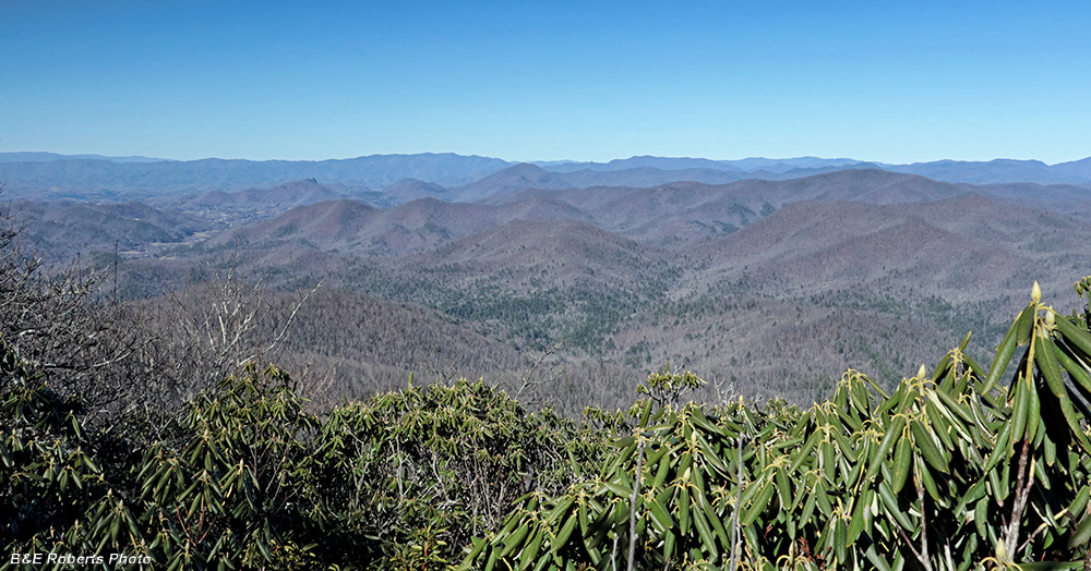
| View north from Tray Mountain's summit with North Carolina's Tusquitee and Chunky Gal Mtn Ranges on the horizon. |
|
 |
|
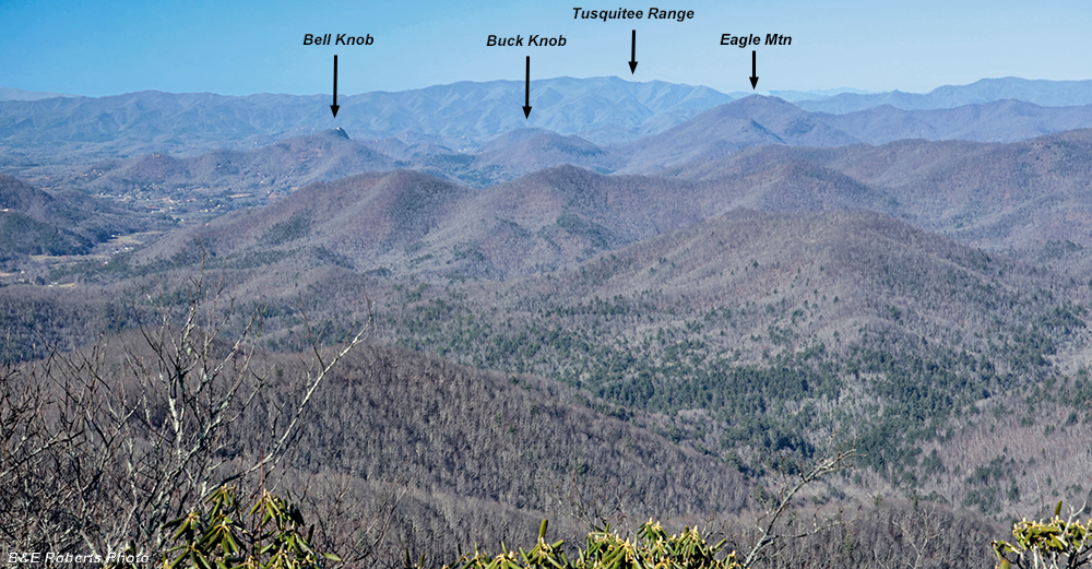
| Zooming in on that northern view, focusing on the Hiawassee area. The Hiwassee River valley and Hiawassee are to the left, with a few of our local peaks annotated. Our home is on the other side of Eagle Mtn. |
|
 |
|
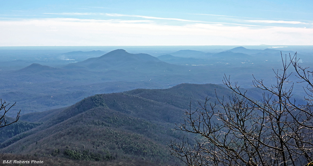
| Southern view from Tray Mountain's summit. Mt. Yonah is the peak to the left of center; you can just see a glint of one of its cliffs. I think the peak about 1/4 way from the right side is Walker Mtn, down near Clermont. Beyond that, Lake Lanier can be seen, and even further is Stone Mtn. on the horizon. This view really shows how the terrain quickly flattens out heading south. Photo was shot into the sun, which is why it's shadowed. |
|
 |
|
| I remembered from the Georgia Conservancy's Guide to the N. Georgia Mountains that an outcrop on the ridge SE of Tray Mtn's summit had some nice views. This is the approach to that outcrop. |
|
 |
|
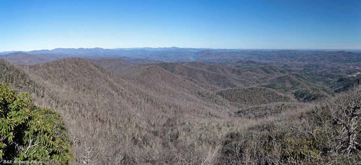
| Panoramic view to the east, from that outcrop A portion of Lake Burton can be seen in the distant center, with sections of Lake Rabun visible to the right of it. |
|
 |
|
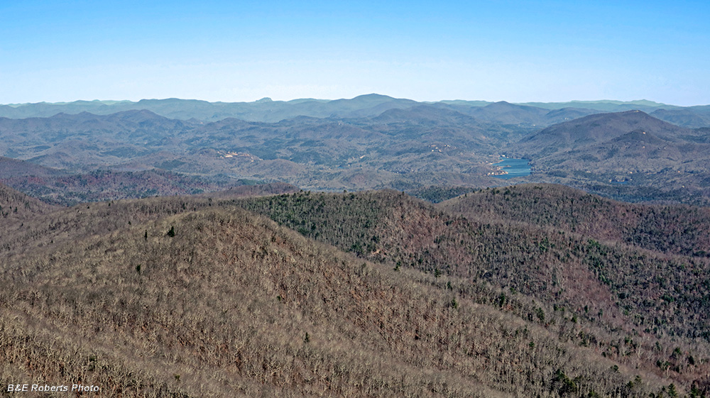
| Zoomed-in on a section of that eastern view... Lake Burton to the right, Rabun Bald at the center horizon. The odd looking protuberance on the horizon, about one-third of the way from left side, is Whiteside Mtn in NC. |
|
 |
|
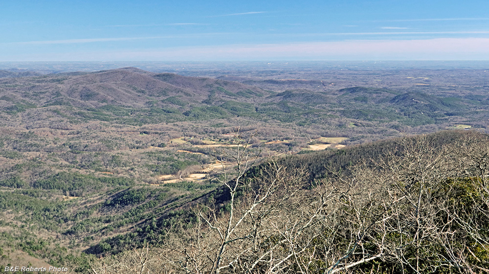
| Southeastern view from the outcrop Looking down on the upper Soque River valley and Batesville area. |
|
 |
|
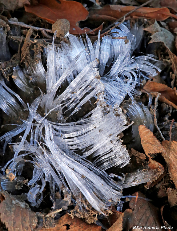
| Needle ice in the soil along the trail. |