| Mountain Bogs NC3SI - October 2025 Drone Views Nantahala National Forest, North Carolina |
All Text & Images: Copyright (2025) |
| Mountain Bogs NC3SI - October 2025 Drone Views Nantahala National Forest, North Carolina |
All Text & Images: Copyright (2025) |
| Fall 2025 I hadn't visited these two bogs in the Standing Indian - Upper Nantahala Basin in five years. I first stopped by in late September, but even though we'd been in somewhat of a drought, the water levels were much higher that I'd ever seen. It appeared that the first bog had beaver activity which significantly raised the level. I returned in early October, but the water hadn't gone down any, so I decided to take some drone images instead of walking through the bog. Although the surrounding mountains were mostly green, some fall color was beginning to show in the trees in the valley of the Upper Nantahala River. |
|
 |
|
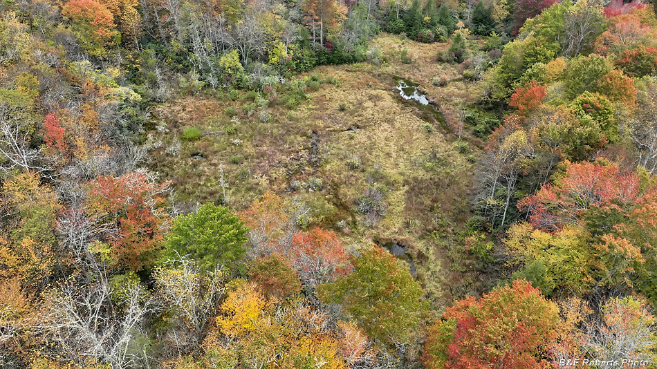
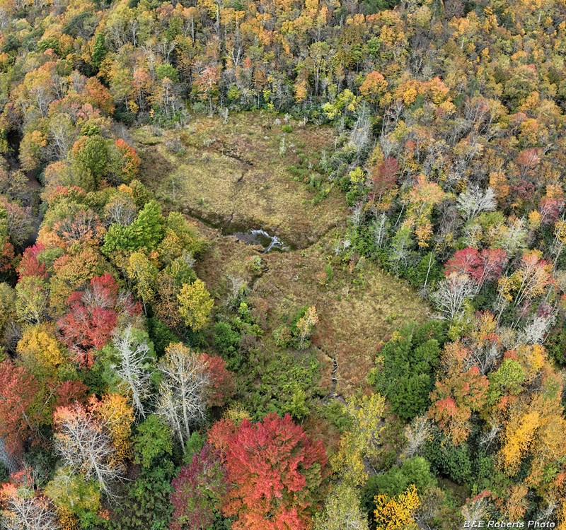
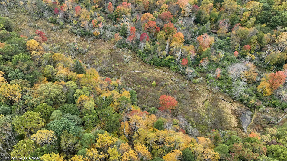
| Big Indian Creek Bog, looking northwest |
|
 |
|
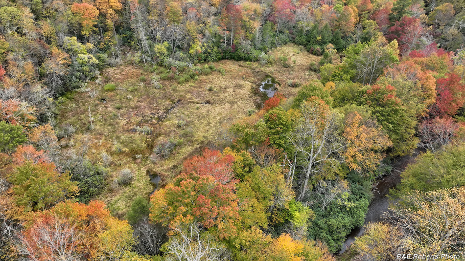
| Big Indian Creek Bog, view to the west The Nantahala River is visible on the right. |
|
 |
|
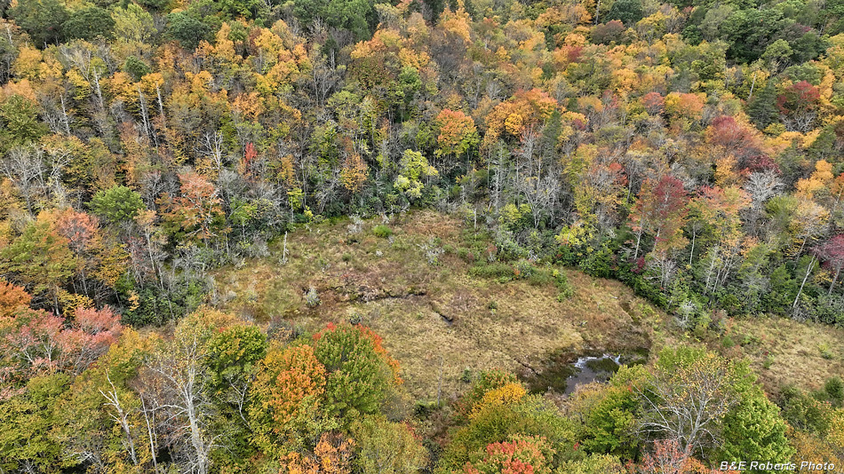
| Big Indian Creek Bog, view to the southwest |
|
 |
|
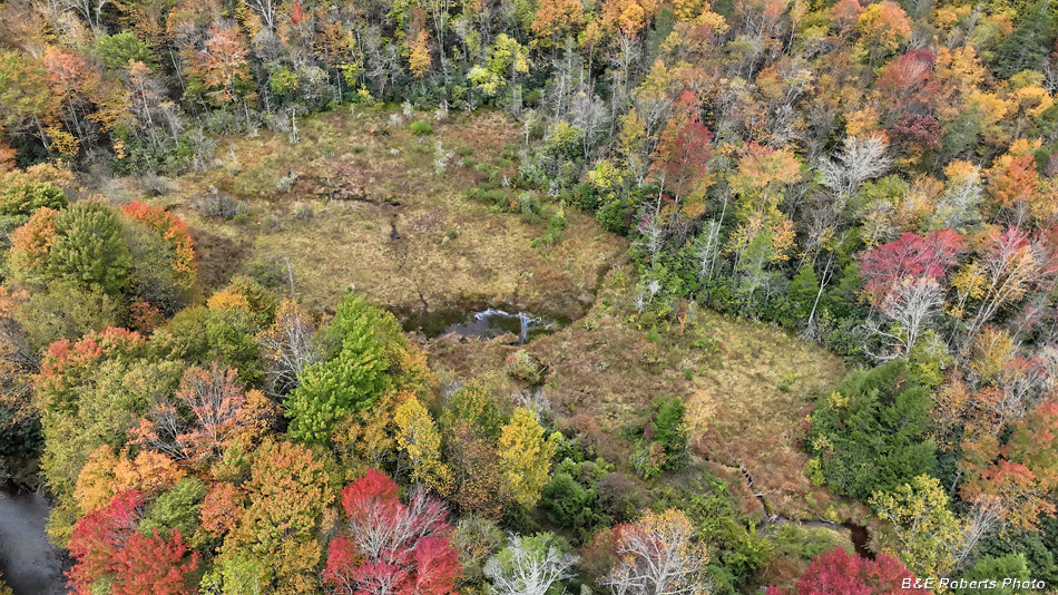
| View to the south... Another glimpse of the Nantahala River is visible at lower left. |
|
 |
|
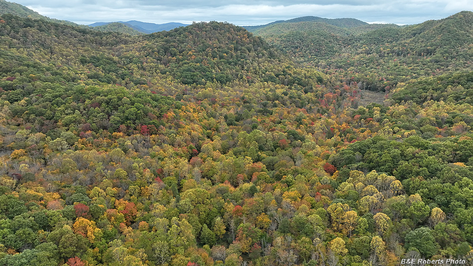
| View from a higher altitude, but in a little closer to the bog. |
|
 |
|
| View north from above Big Indian Creek Bog. Bear Knob and Hurricane Crk Bog are visible. |
|
 |
|
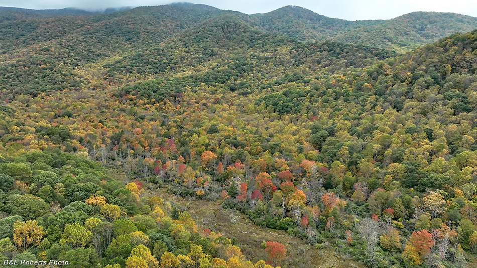
| A wider view to the south Indian Ridge is in the center of the image, splitting the drainages of the Nantahala River on the left, and Big Indian Creek on the right. |
|
| After landing the drone, I headed north to Hurricane Creek Bog for another flight... |
|
 |
|
| View north, looking down the valley of the Nantahala River |
|
 |
|
| Hurricane Creek bog, view looking southwest |
|
 |
|
| A wider angle... |
|
 |
|
| The southern end of Hurricane Creek bog. |
|
 |
|
| Looking roughly north, from south end of the bog |
|
 |
|
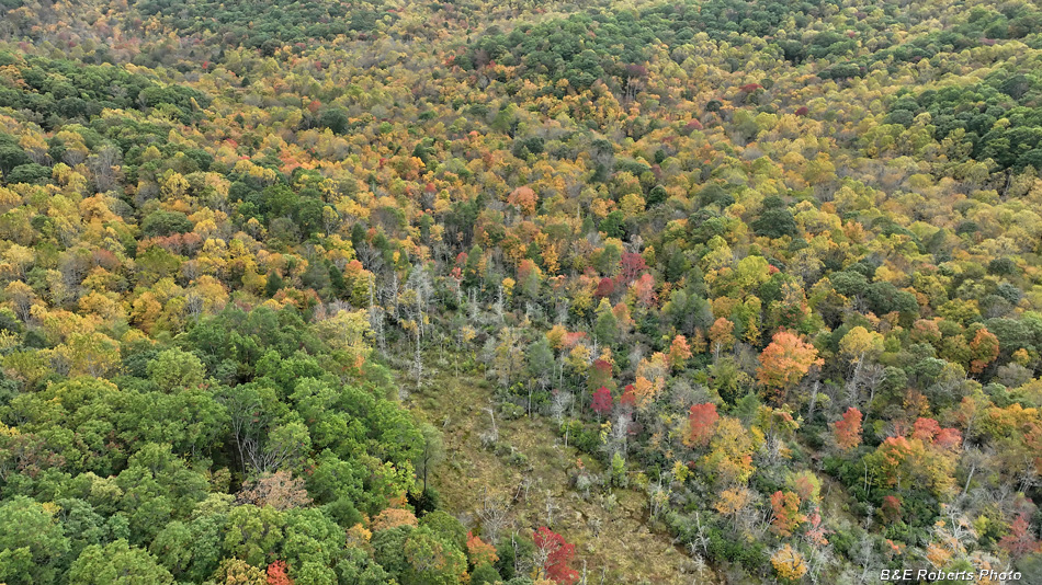
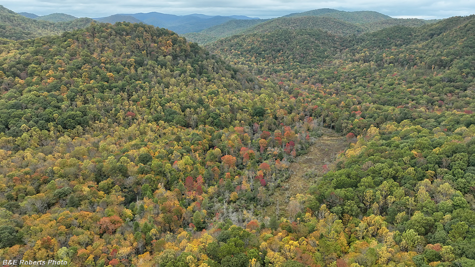
| An area of early color in the valley... |
|
 |
|
| Hurricane Creek bog with Bear Knob to the left |
|
 |
|
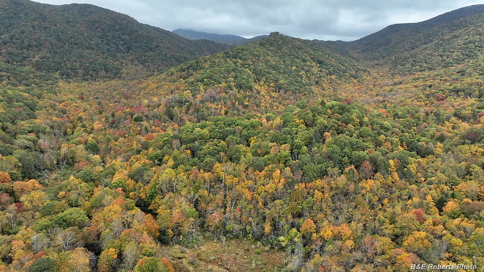
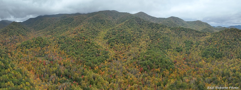
| Looking west, a 3-image panorama of massive Standing Indian Mtn. |
|
 |
|
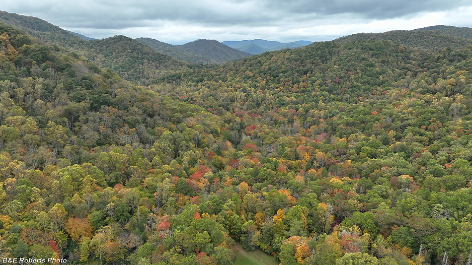
| View back south towards the Nantahala's headwaters... |
|
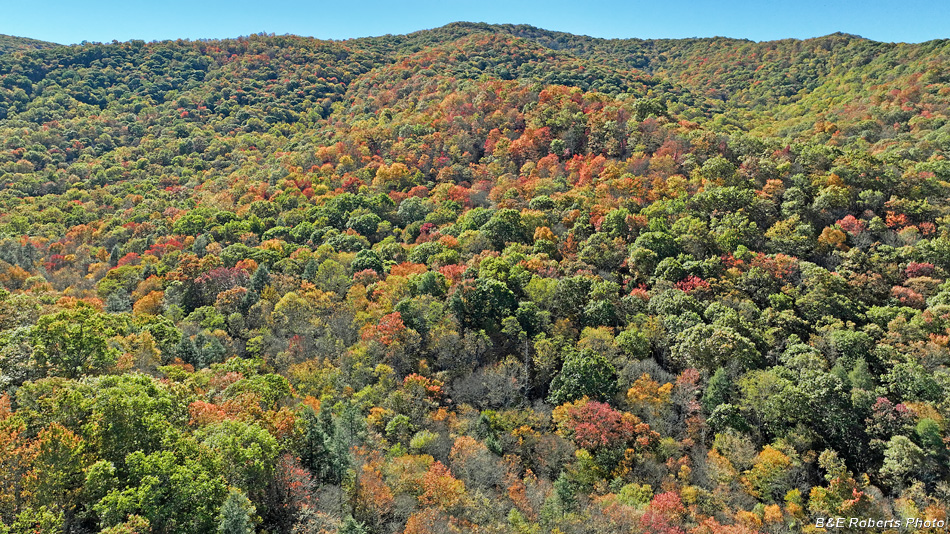
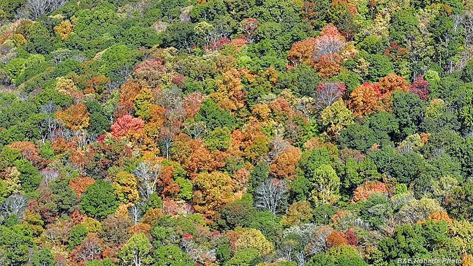
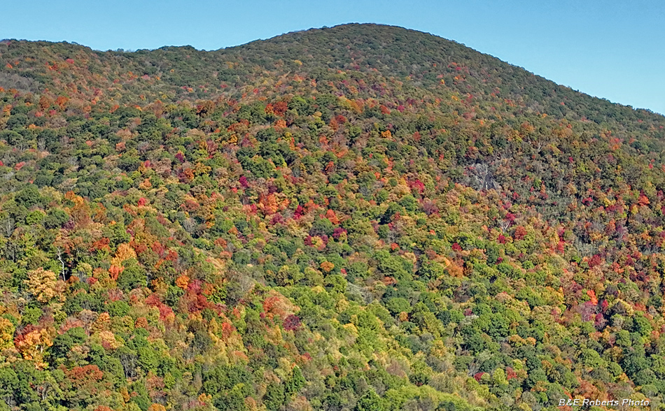
| Mid October A week later, photographing nearby, I returned to see if the foliage color had improved. It was a little better, but still a lot of green leaves, so I only took a few shots. |
|
 |
|
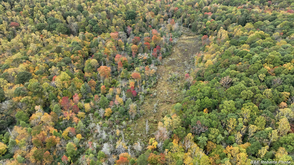
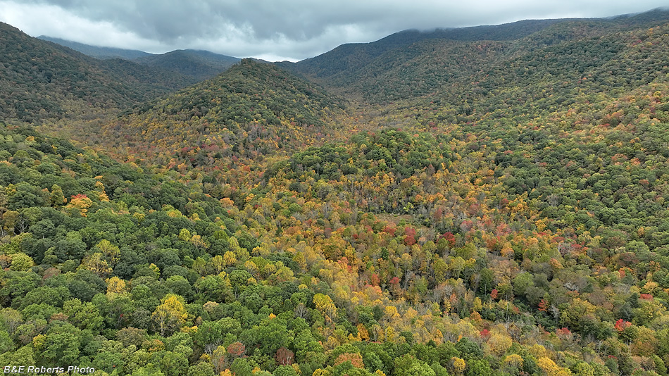
| Slope adjacent to Big Indian Creek bog |
|
 |
|
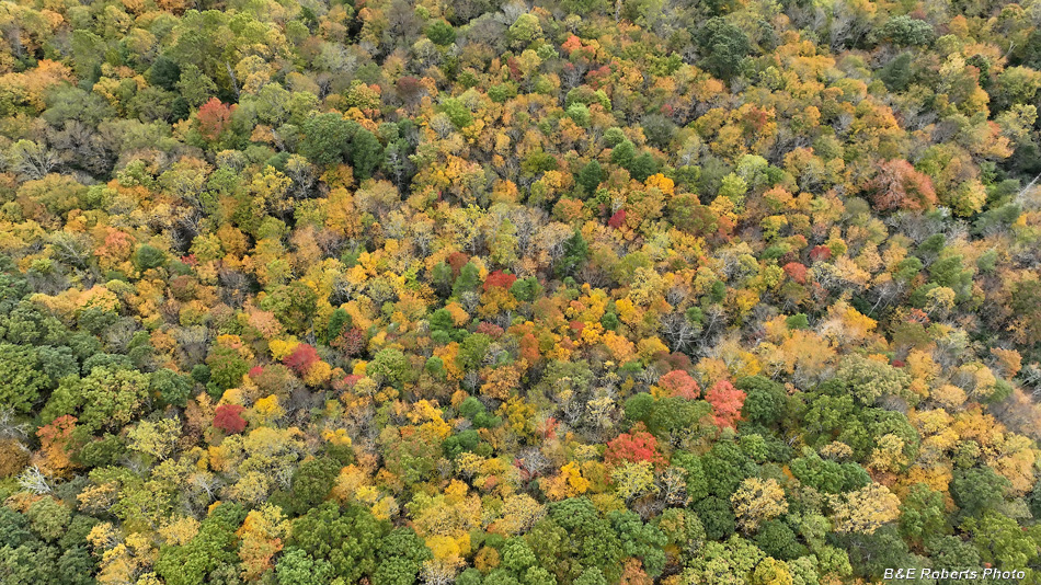
| Patches of color amidst the green |
|
 |
|
| The ridge to the southeast probably had the best color at this time. |