| Corundum Knob - NE Ridge Mines Clay Co., NC - Early 2024 |
All Text & Images: Copyright (2024) |
| Corundum Knob - NE Ridge Mines Clay Co., NC - Early 2024 |
All Text & Images: Copyright (2024) |
| Over the years, I've explored a number of the remains of the various Buck Creek corundum mining operations. I had only photographed a few of the cuts on Corundum Knob, so I spent several days in early 2024 exploring and photographing the mine workings around that area. Via LIDAR, I had spotted a number of works on the NE spur of the Knob that weren't referenced in any of the old Mine reports. In the middle of a cold snap, we had a day forecast to get up to 40 degrees, so I headed up there to see what I could find. |
|
 |
|
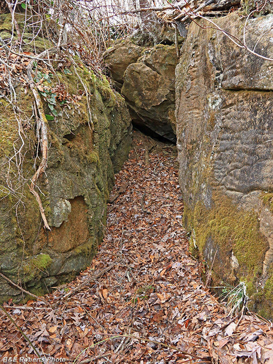
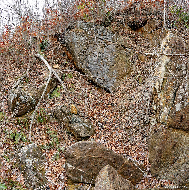
| Unnamed Cut A This was kind of cool; it looked almost like a tomb cut out of the rock. |
|
 |
|
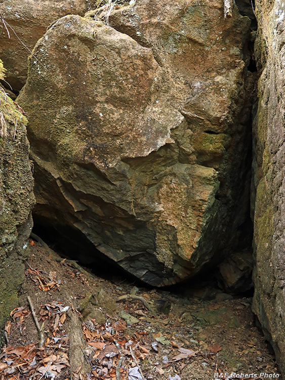
| Boulder blocking the end of Cut A |
|
 |
|
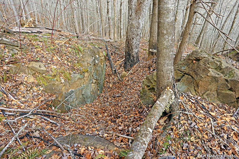
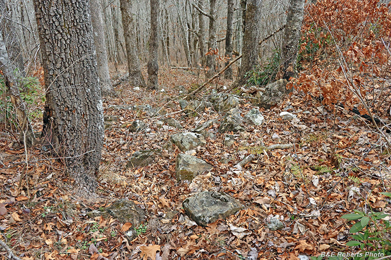
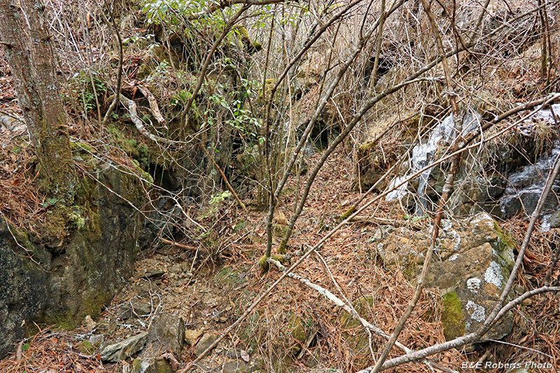
| Unnamed Cut B The mine workings in this area were mostly cut through rock... |
|
 |
|
| Unnamed Cut B, from above Several of the mining cuts in this area either don't appear on the mining layouts, or are shown but unnamed. |
|
 |
|
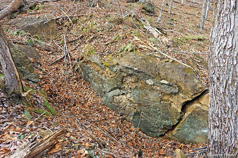
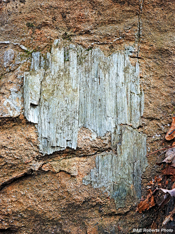
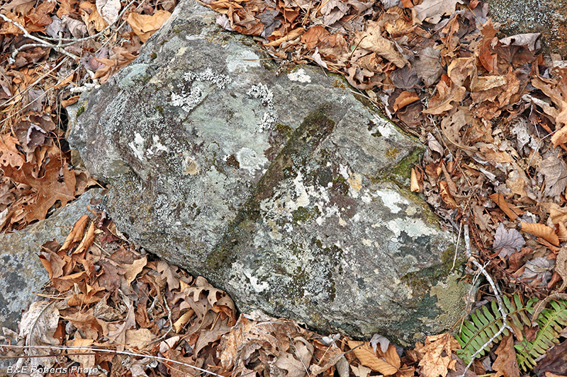
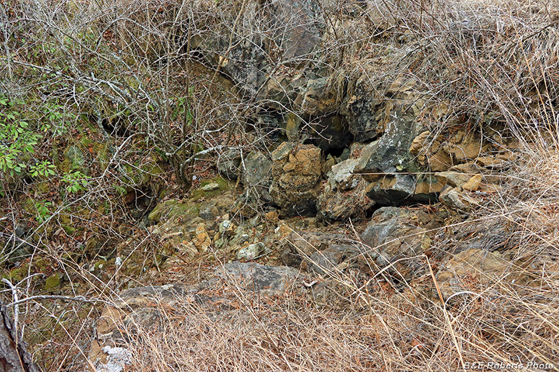
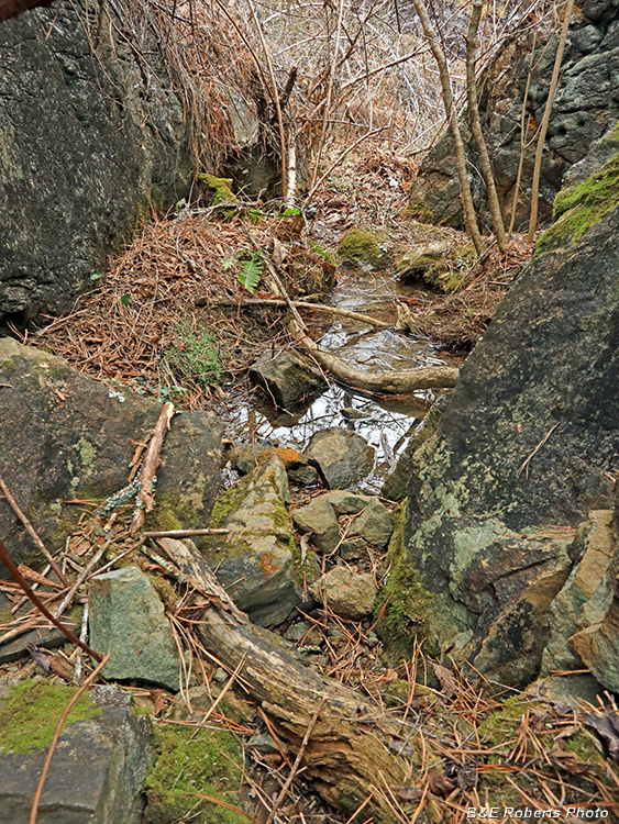
| Rock surface at Cut B Serpentine often formed in thin layers between ore veins. |
|
 |
|
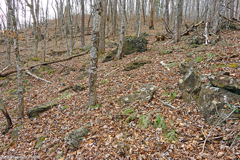
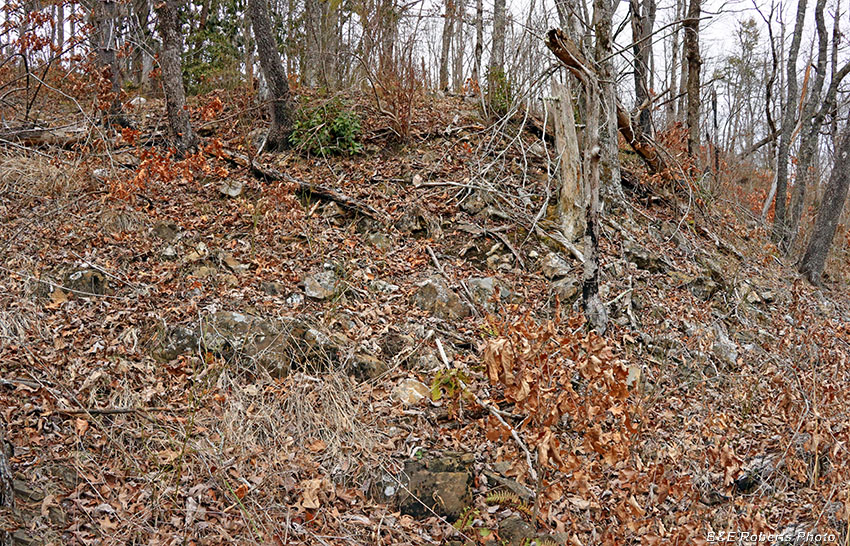
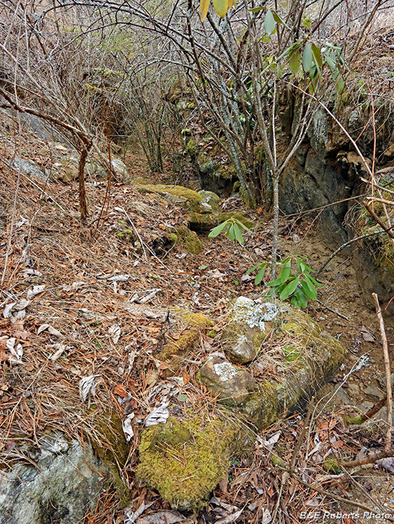
| General view of the area where this group of mine cuts is located. |
|
 |
|
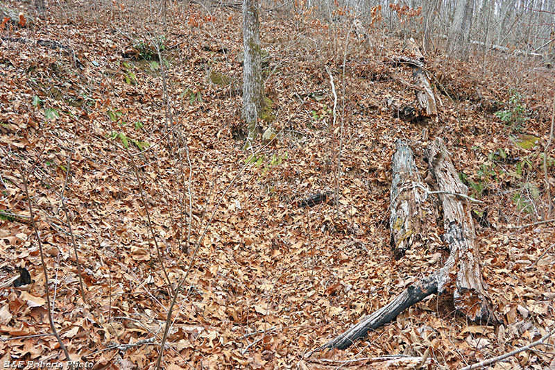
| Pit C, barely discernible in the photo It didn't look like much on the LIDAR indication, so I wasn't expecting much! |
|
 |
|
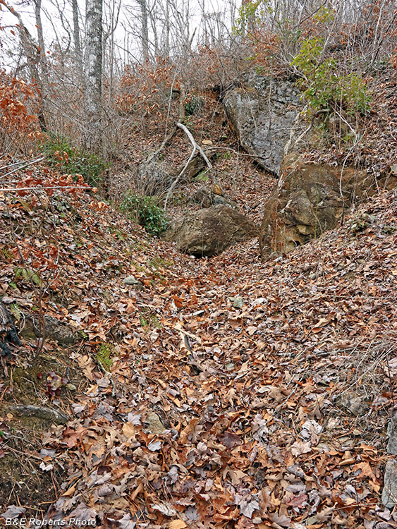
| Cut D appears on old mine layouts, but is unnamed. Based on the amount of waste rock below this cut, I thought there might be a tunnel at its end, but if there ever was, it's now blocked by massive boulders that have fallen from above. |
|
 |
|
| Jumbled boulders at the end of Cut D |
|
 |
|
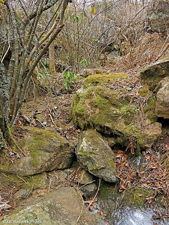
| Waste pile below Cut D |
|
 |
|
| A drill hole is visible along the edge of this rock. |
|
 |
|
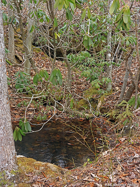
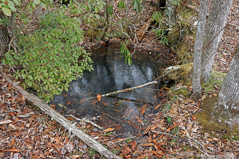
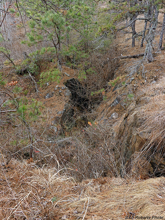
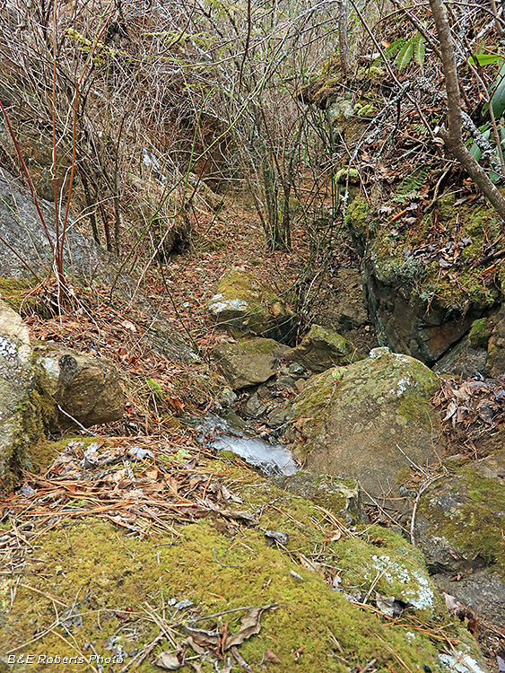
| Water filled mine shaft, directly in front of a short tunnel. I had actually looked for this feature a few days earlier. On that day, I'd stood on a bluff directly above here, but the terrain & brush blocked it from my view. That night, I reviewed the LIDAR indication, and was convinced there had to be something man- made at the location. This time I came in from the bottom and found the shaft! |
|
 |
|
| (Frozen) water-filled mine shaft |
|
 |
|
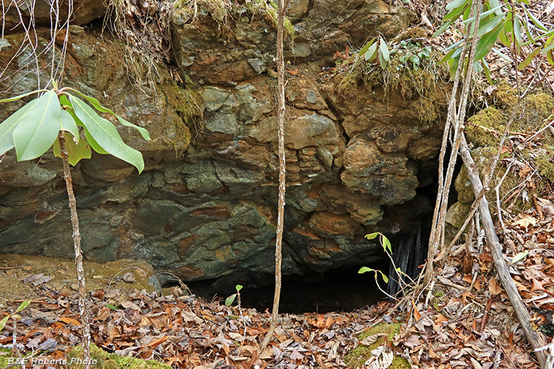
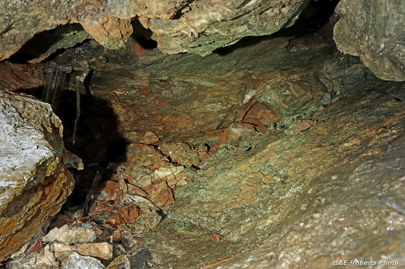
| Tunnel entrance, behind the shaft. Surprisingly, these mine workings don't appear on any of the mine layouts that I have found. |
|
 |
|
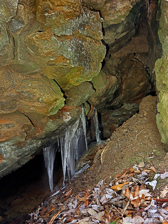
| The front of the tunnel was full of water... but looking to the right, I saw a large crevice leading to a small chamber. Under drier conditions, I might have slipped in there, but with the cold temperatures, I had no desire to get wet and muddy. |
|
 |
|
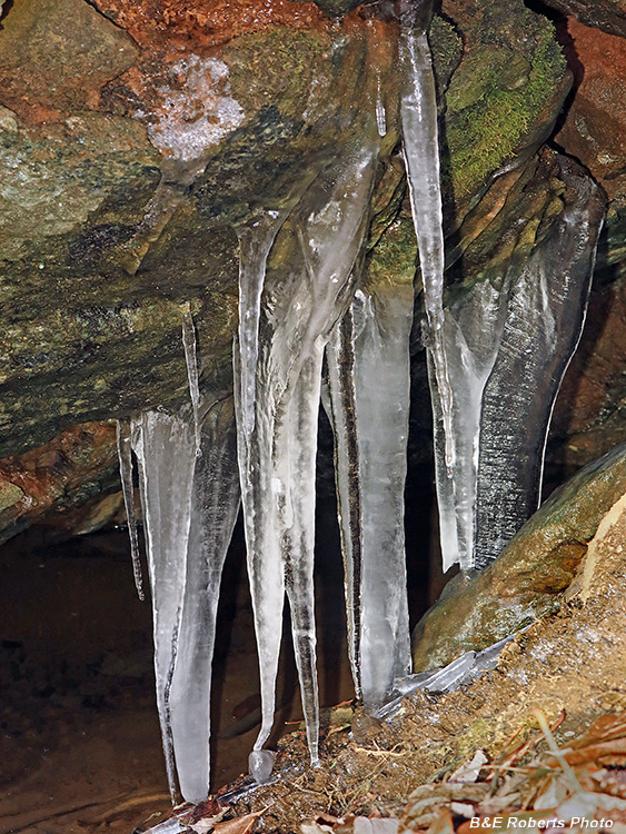
| Icicles blocking the entrance |
|
 |
|
| Waste rock pile below the adit and shaft |
|
 |
|
| The Burrell Cut One of the largest & deepest surface cuts at Buck Creek. |
|
 |
|
| Looking down into the west end of the Burrell Cut The Cut, ranging from 6 to 18 feet deep, is overgrown with dog hobble and other brush. |
|
 |
|
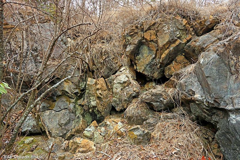
| Rock wall at west end of Burrell Cut |
|
 |
|
| A dug out cavern behind the rocks |
|
 |
|
| Several views walking through the bottom of the Burrell Cut... |
|
 |
|
| You can see how overgrown the bottom of the cut is... |
|
 |
|
| The Burrell Cut is over 200 feet long |
|
 |
|
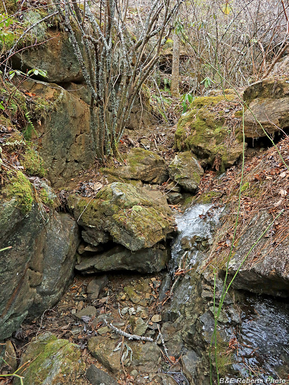
| Most of the water I encountered in the Cut was frozen ice. There must have been some flow here to keep it from freezing. |
|
 |
|
| It would be difficult to walk through here in summer... |
|
 |
|
| Heading back to the end where I climbed down into the Cut... |