| Buck Creek Mining Corundum Knob 2024 - Page 2 Clay County, NC |
All Text & Images: Copyright (2024) |
| Buck Creek Mining Corundum Knob 2024 - Page 2 Clay County, NC |
All Text & Images: Copyright (2024) |
| Continuation (Page 2) of photos from several days roaming around Corundum Knob in January & February 2024, documenting the many named ore vein cuts. The Shook Cut: |
|
 |
|
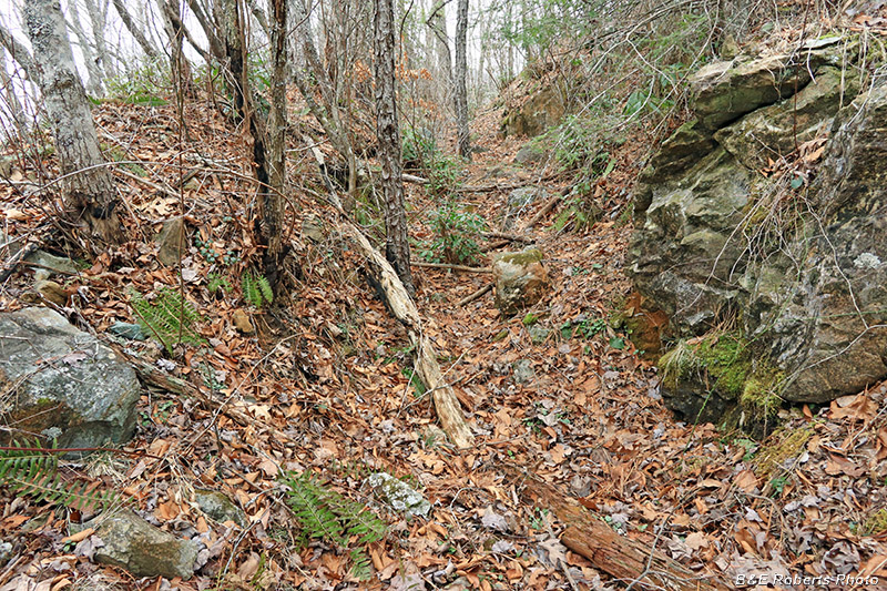
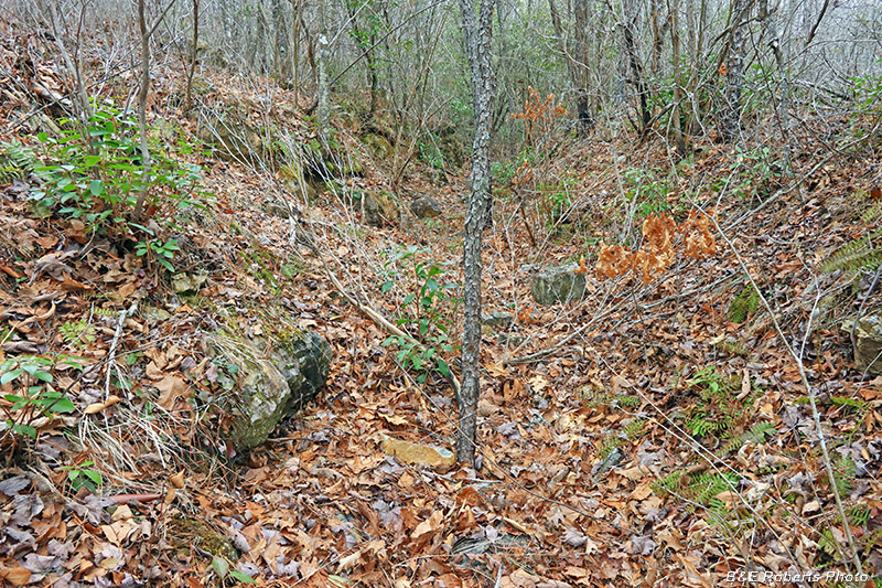
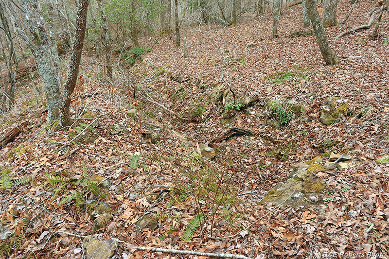
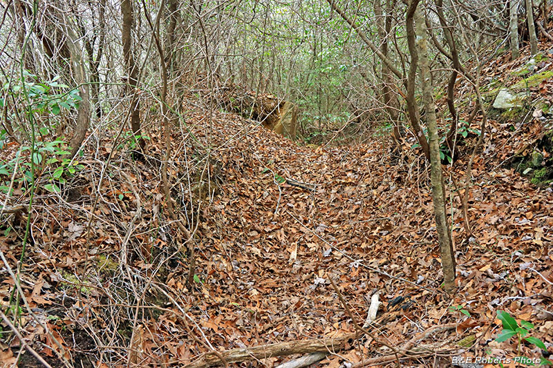
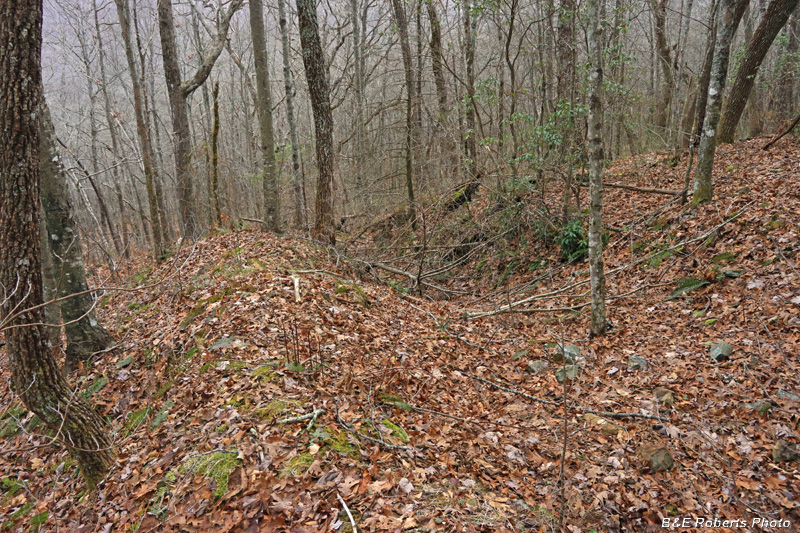
| The Shook cut, starting at the west end |
|
 |
|
| Shook cut Assays from the Shook cut in 1945 averaged 2.4% corundum. |
|
 |
|
| Two principal types of corundum deposits are found at Buck Creek... |
|
 |
|
| The two types are (1) vein deposits, and (2) corundum-bearing amphibolite dikes. |
|
 |
|
| The deposits on Corundum Knob primarily consist of the corundum-bearing (disseminated) amphibolite. |
|
 |
|
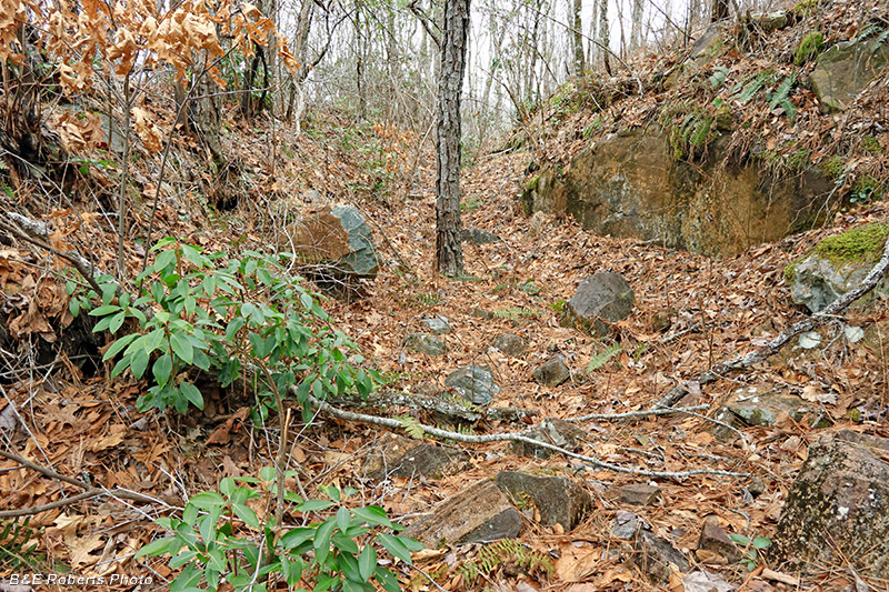
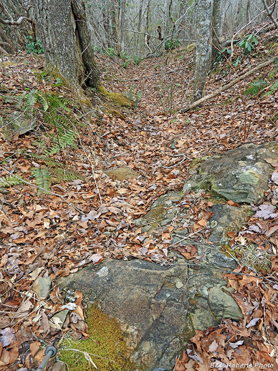
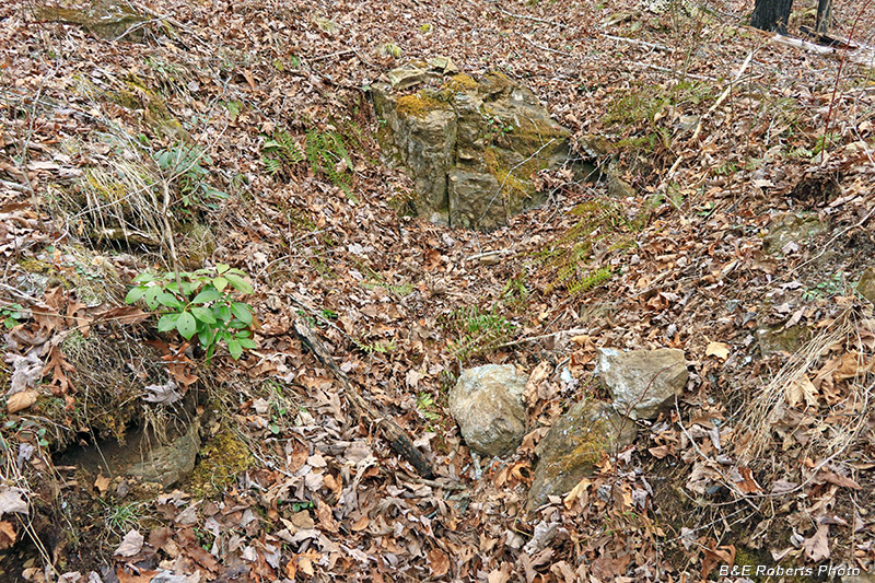
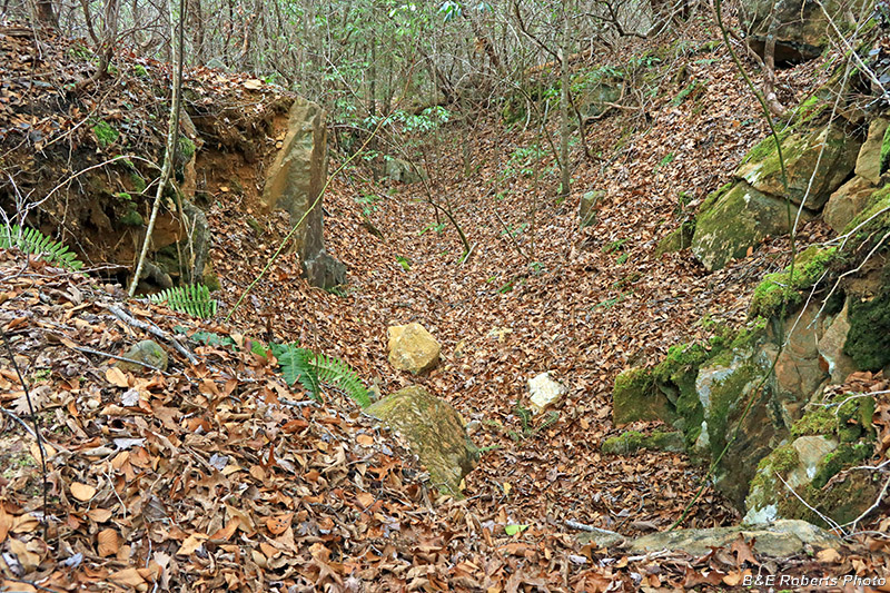
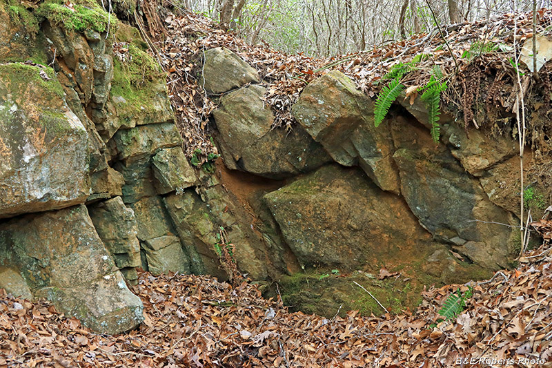
| Further along the Shook cut |
|
 |
|
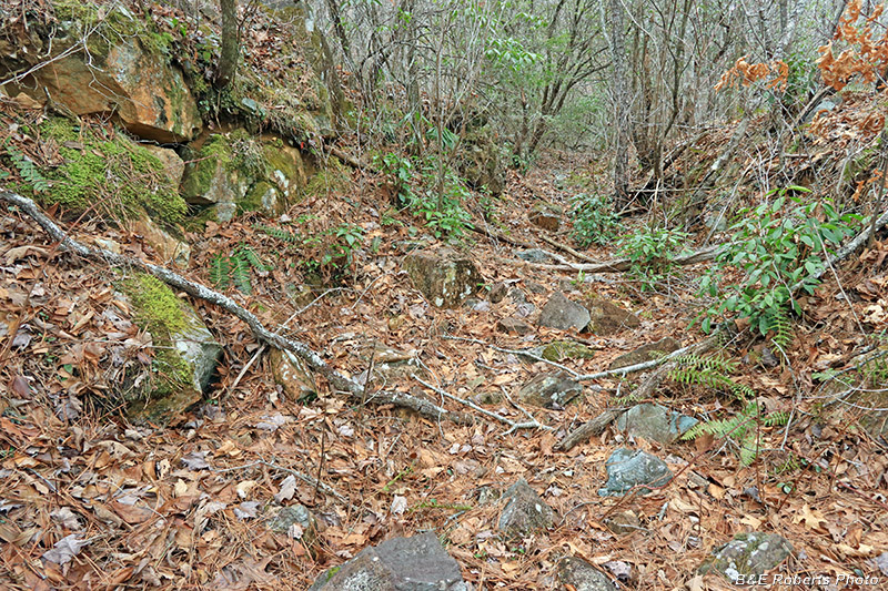
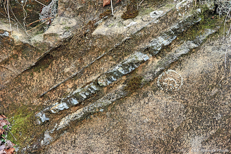
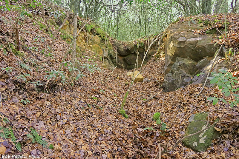
| Vein of serpentine rock cutting through the Shook cut |
|
 |
|
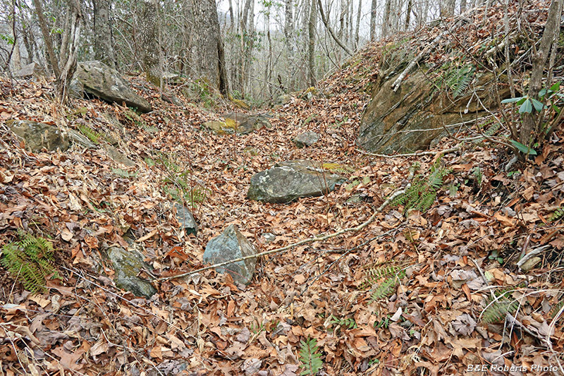
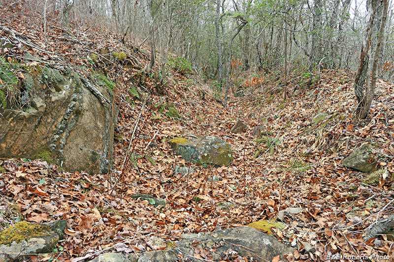
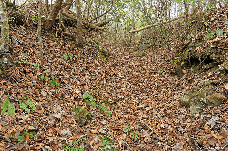
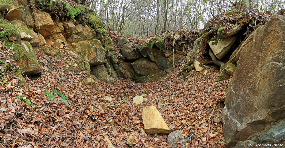
| Far end of the Shook cut |
|
 |
|
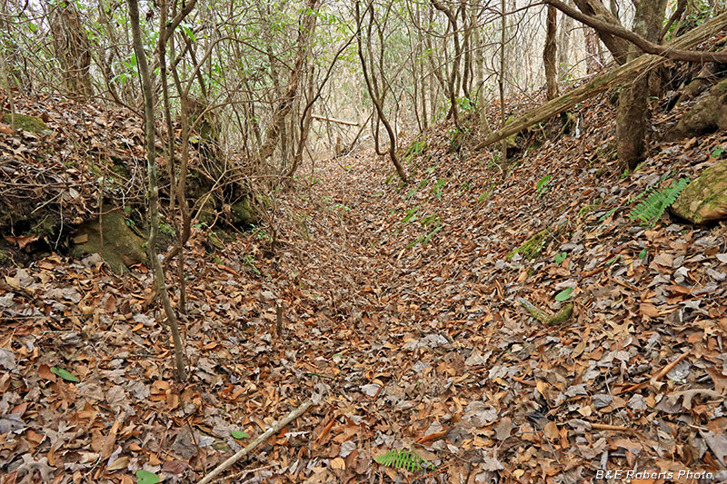
| The US Bureau of Mines cut 8,494 feet of prospect trenches here from 1943-45 This is one of those trenches, near the Shook cut. |
|
 |
|
| End of the same prospect trench |
|
| Harvey Penland's family, originally from Haywood Co., NC, is listed in the Buck Creek area in 1850, and he had a land grant there in 1851. In 1882, the Penlands entered land grants for almost 3000 acres in Upper Shooting Creek, Chunky Gal, and Buck Creek; they opened up much of their land to prospectors. The Penland Cut: |
|
 |
|
| Penland cut |
|
 |
|
| Assays from the Penland cut in 1945 averaged 2.5% corundum. |
|
 |
|
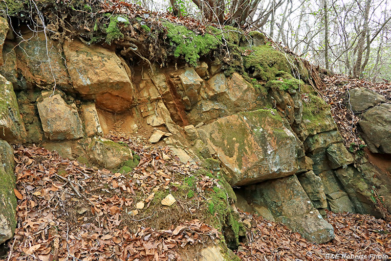
| Corundum-bearing dike in the Penland cut |
|
 |
|
| Same partially-excavated corundum-bearing dike |
|
 |
|
| Penland cut |
|
| The Davenport family became established in the Buck Creek - Shooting Creek area when David & Dorothy Davenport moved there from Burke Co, NC, in 1838. Their sons and grandsons mined the area, and Davenport Branch was no doubt named for them. The Davenport Cut: |
|
 |
|
| Watery section of the Davenport cut |
|
 |
|
| Davenport cut |
|
 |
|
| View from Davenport cut down into the "deep" cut at the east end There is a sharp drop of about 8 feet directly in front of me. |
|
 |
|
| I made my way around to the east end, then came up to the "deep" cut. |
|
 |
|
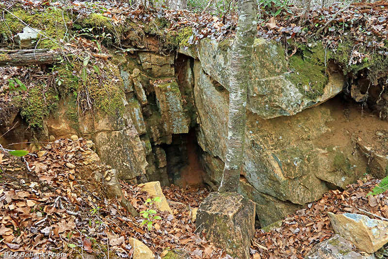
| The "deep" cut end of the Davenport cut. |
|
 |
|
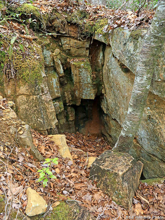
| Closer view - part of the "deep" section of the Davenport cut. The rock wall is about 8 feet high here. |
|
 |
|
| Another area, to the left of the previous image |
|
 |
|
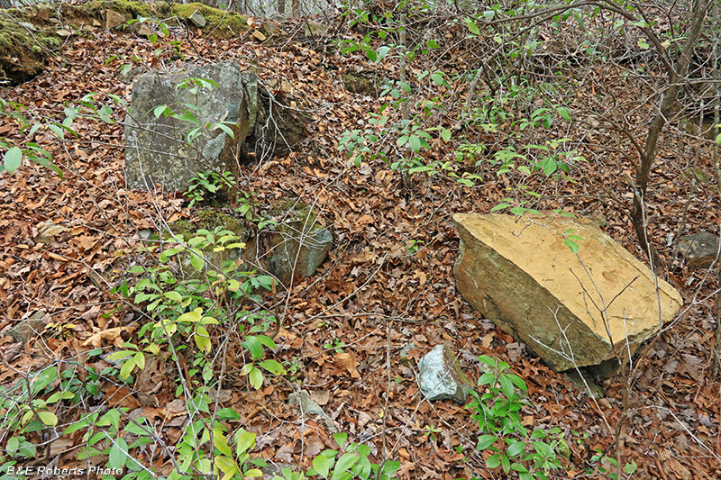
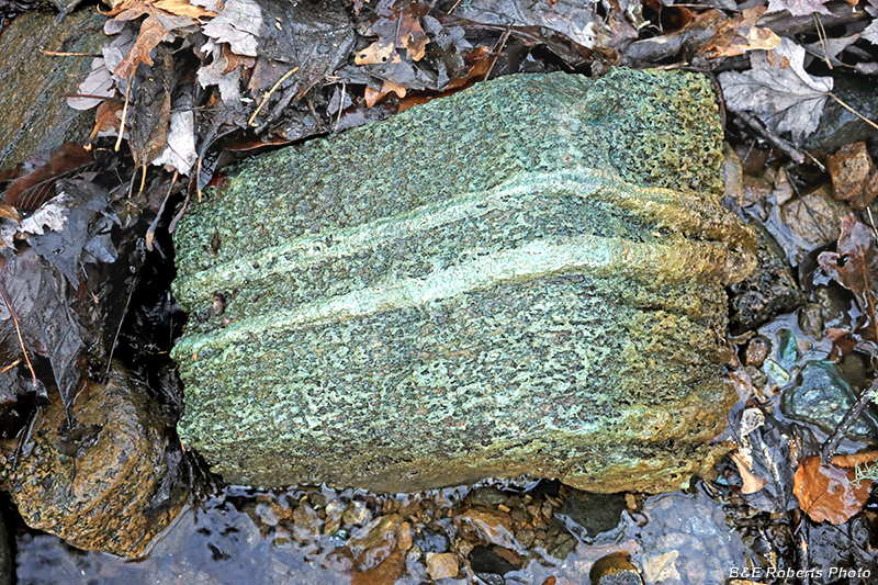
| A veined amphibolite rock in the creek near the Davenport cut. |
|
| The "White Corundum" Cut: |
|
 |
|
| The White Corundum cut was one of the few Corundum Knob cuts that exposed a corundum vein. |
|
 |
|
| White Corundum cut, a different view from another day |
|
| The Burch Cut: |
|
 |
|
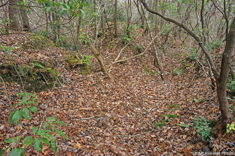
| South of the White Corundum cut... This is the edge of the Corundum Knob "center / summit" area, which I'll cover in another album. |
|
 |
|
| Reindeer Lichen (Cladonia sp.) |
|
 |
|
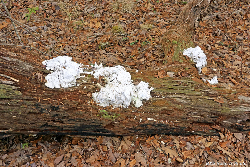
| Some kind of fungi... |
|
 |
|
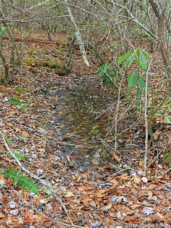
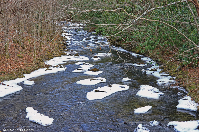
| A cold Buck Creek... |