| Mining Heritage 2023 - page 1 Buck Creek, Clay Co., NC |
All Text & Images: Copyright (2023) |
| Mining Heritage 2023 - page 1 Buck Creek, Clay Co., NC |
All Text & Images: Copyright (2023) |
| December 3, 2023 I had previously explored some of the better-known mining landmarks here, starting back in 2017. Now I wanted to check out some of the lesser known, more obscure works. These were located using a combination of the old mining reports / layouts and LIDAR mapping. This album covers a portion of the Eastern area of the Buck Creek Mining operations, specifically those on the west side of the creek. |
|
 |
|
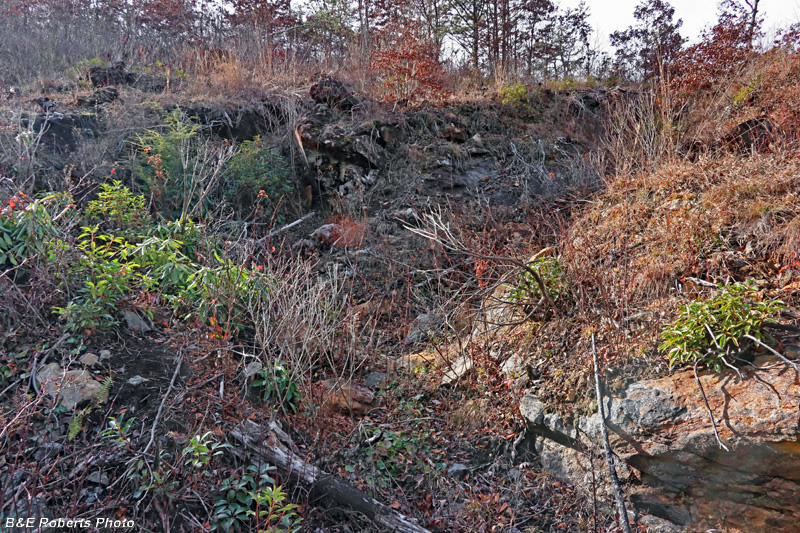
| The Hart Cut, first worked in 1892. |
|
 |
|
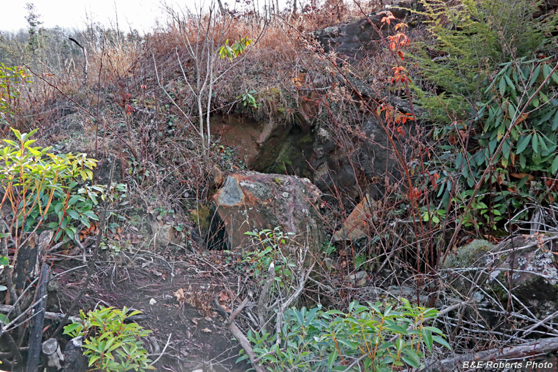
| Further up the Hart Cut Note the boulder in the middle of the image... |
|
 |
|
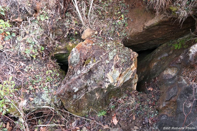
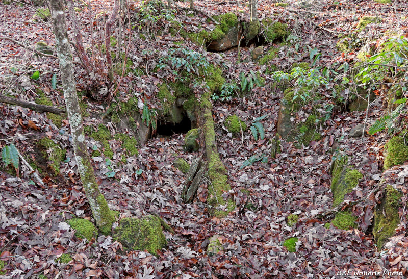
| This boulder blocks an old drift at the Hart Cut. The drift had been tunneled at the intersection of two mineral veins, but was now caved in.. |
|
 |
|
| Looking past the boulder down into the caved-in drift / tunnel. |
|
 |
|
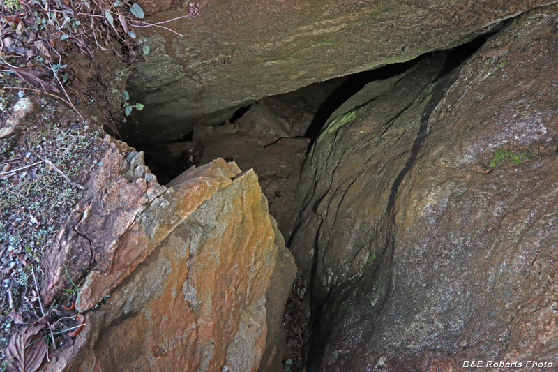
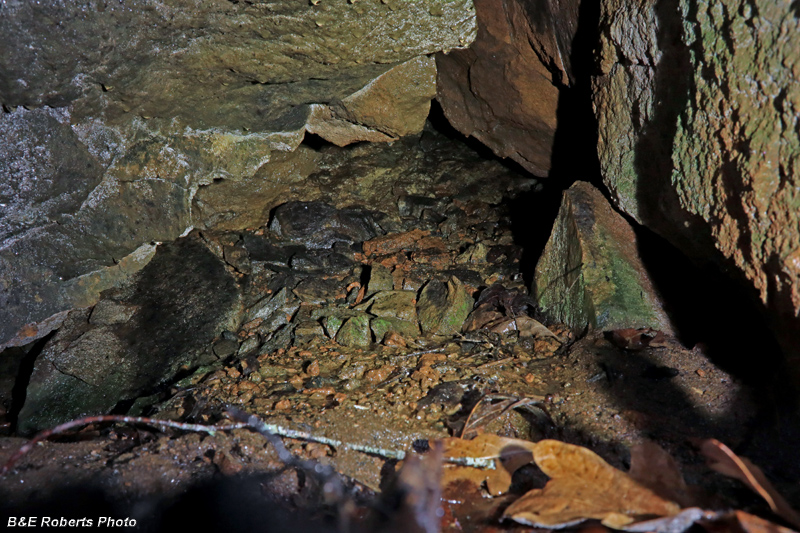
| I reached down with my camera to look in a little further. I think I see a vertical timber support on the right... |
|
 |
|
| Upper area of the Hart Cut |
|
 |
|
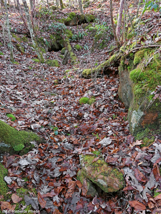
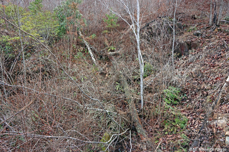
| View down the Hart Cut from the top This image doesn't reflect the depth of the Cut very well. |
|
 |
|
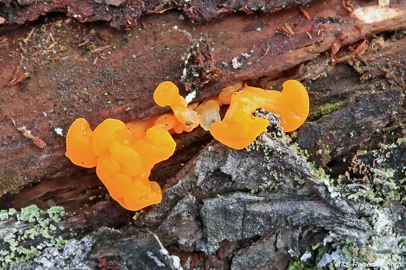
| One of the Witches Butter species Maybe Orange Jelly Spot (Dacrymyces chryospermus) since it's growing on a dead hemlock. |
|
 |
|
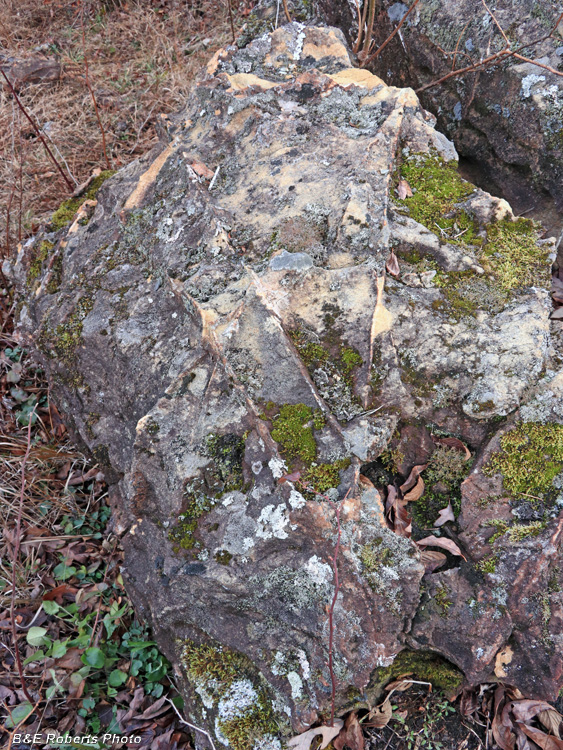
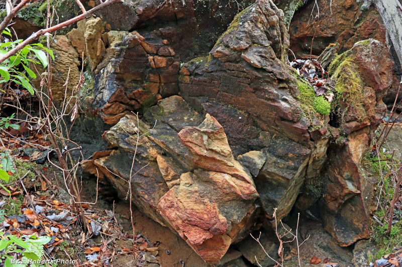
| Some interesting surface features on this boulder |
|
 |
|
| One more view looking into the Hart Cut |
|
 |
|
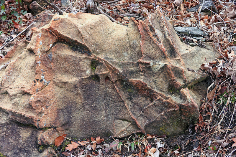
| Another interesting boulder, with what looks similar to protruding planar crystals. |
|
 |
|
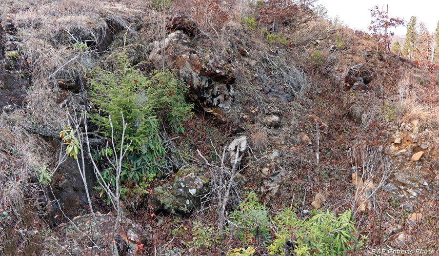
| "A tunnel was started by Gregory Hart downhill from the cut to intersect the vein, but it was stopped before reaching its objective..." This is the cut leading to that tunnel / adit. |
|
 |
|
| Slumped opening of the tunnel |
|
 |
|
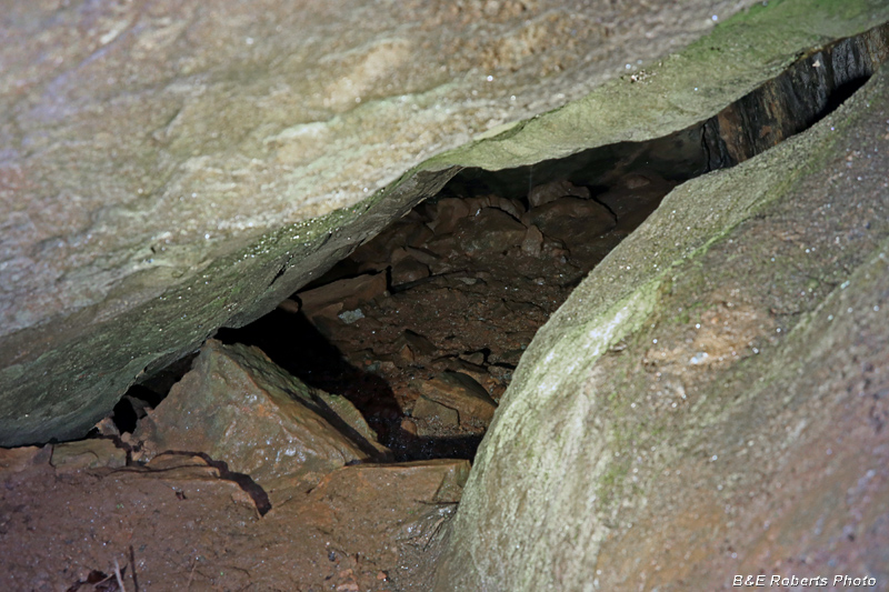
| Once again, I reached my camera down to get a photo inside the uncompleted tunnel. It appears to open up somewhat beyond the caved mouth... |
|
 |
|
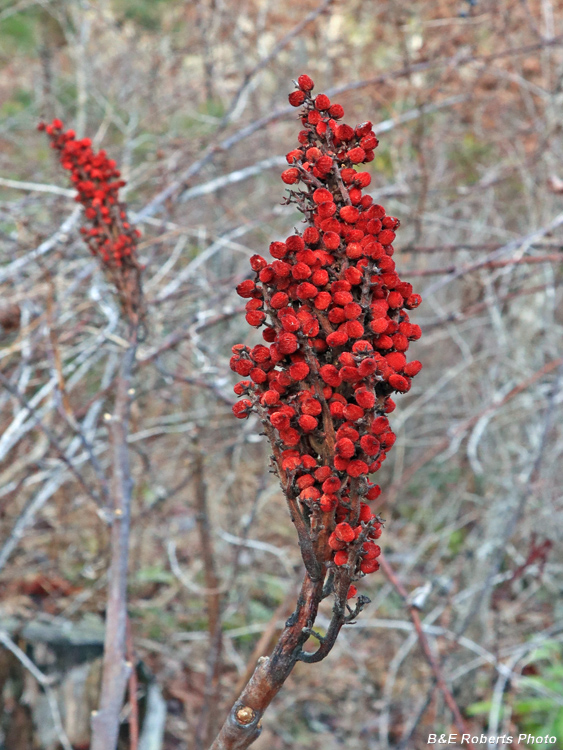
| Smooth Sumac (Rhus glabra) |
|
 |
|
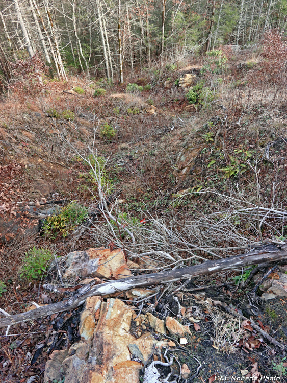
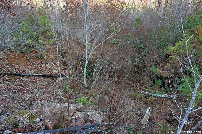
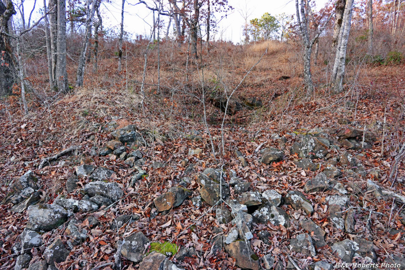
| Hutchison Cut - Pit A This cut is in the middle of an area that's all grown over with thick young saplings, brush and briars. |
|
 |
|
| Hutchison Cut - Pit A, from the opposite side |
|
 |
|
| Rock wall down inside Pit A at the Hutchison Cut |
|
 |
|
| Pit B at the Hutchison Cut From here, I wanted to explore the nearby Ledford Cut, but it was such a struggle trying to make it through the brush and briars that I turned around. |
|
 |
|
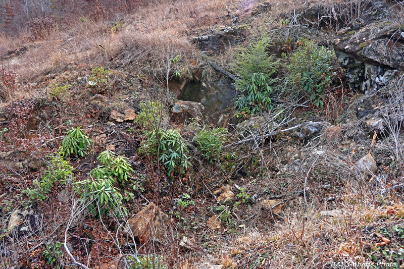
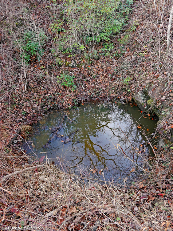
| Climbing up another ridge, I came across an unrecorded shaft, filled with water. ("unrecorded" meaning not shown on any of the old mining layouts / sketches) |
|
 |
|
| Same water-filled shaft from the opposite side |
|
 |
|
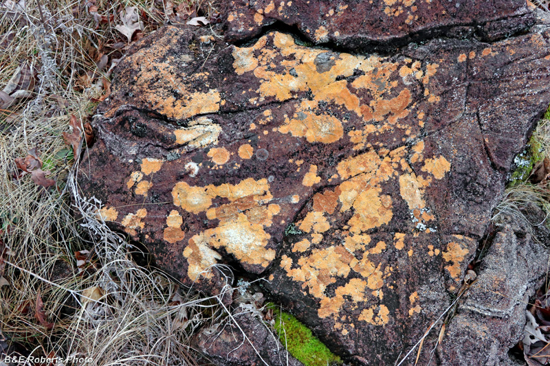
| Orange lichens on boulder |
|
 |
|
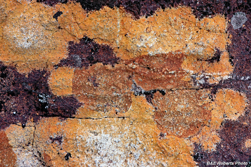
| Close-up of the orange lichens |
|
 |
|
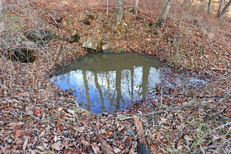
| Crossing over the ridge-top, I came across another water-filled pit. This one appeared to be shallower than the previous one that I called a shaft. It was also unrecorded. |
|
 |
|
| This one was surrounded by a rim of rocks that had been dug from the hole. Based on the pile of rocks, it may have been deeper than I thought... |
|
 |
|
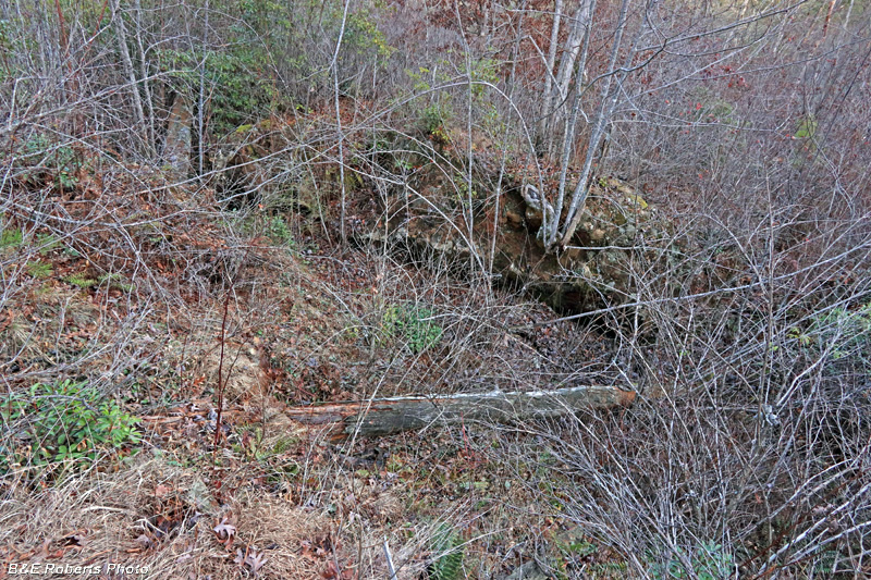
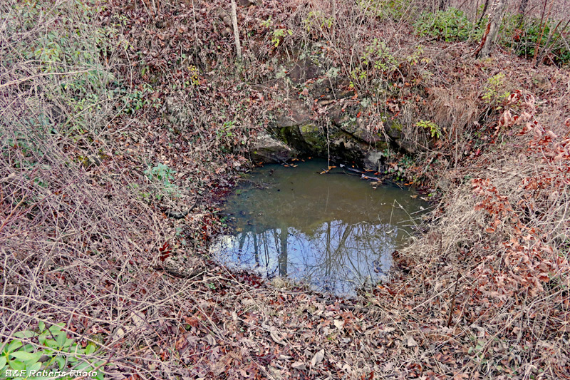
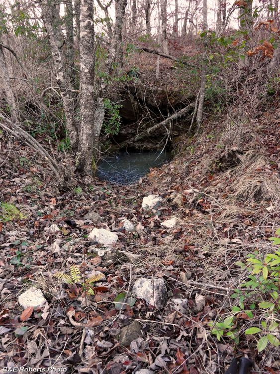
| Just down from the last pit, I came across a cut (also unrecorded) with a tunnel / adit at the end. Unfortunately it was flooded. |
|
 |
|
| Flooded tunnel opening It was getting near dark, so I had to head back, but I returned two days later to explore more of the old operations here. |