| Mining Heritage 2023 - page 2 Buck Creek, Clay Co., NC |
All Text & Images: Copyright (2023) |
| Mining Heritage 2023 - page 2 Buck Creek, Clay Co., NC |
All Text & Images: Copyright (2023) |
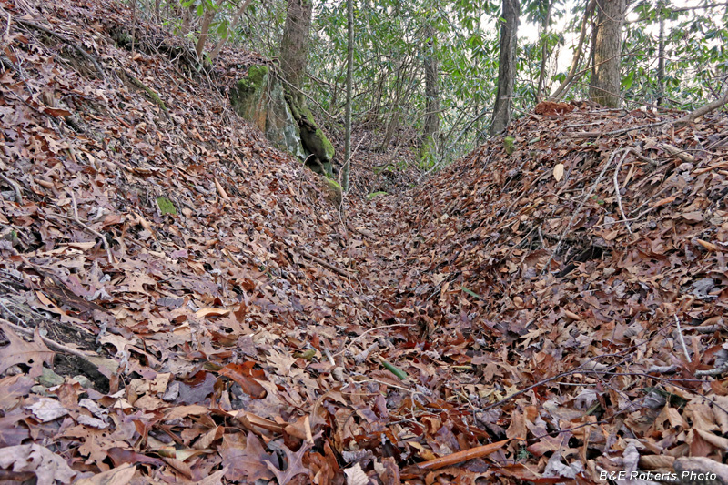
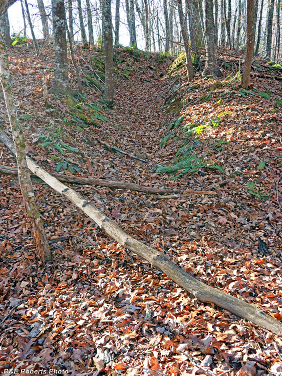
| December 5, 2023 Returning to the area two days after my previous explorations, I still had a number of locations to investigate, based on the old mining reports / layouts and LIDAR mapping. This album continues my explorations of the Eastern mining area, but primarily covers the works to the east of the creek. (The earlier album covered the west side of the creek) The first area I visited was a cut referred to as the "Old Tunnel" on the old mine layouts. It is a deep cut on a steep slope that actually has 3-4 old adits / tunnels that extended into the rocky hillside at different levels. All are now inaccessible due to cave-ins. |
|
 |
|
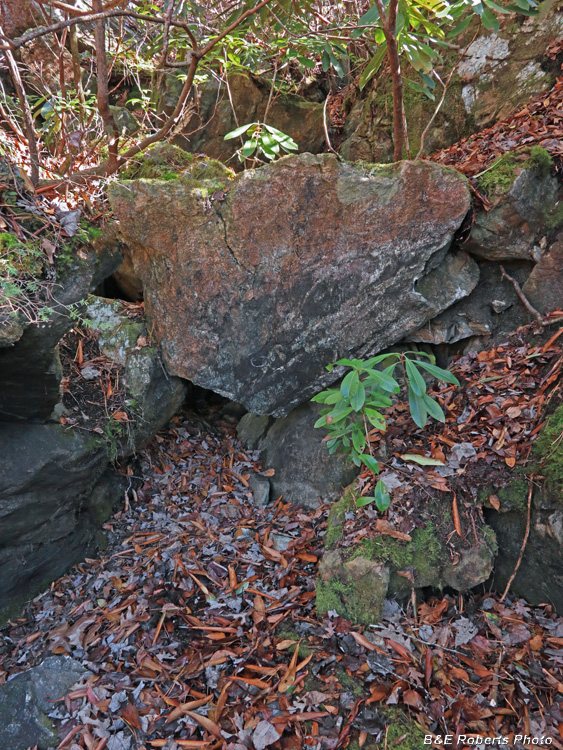
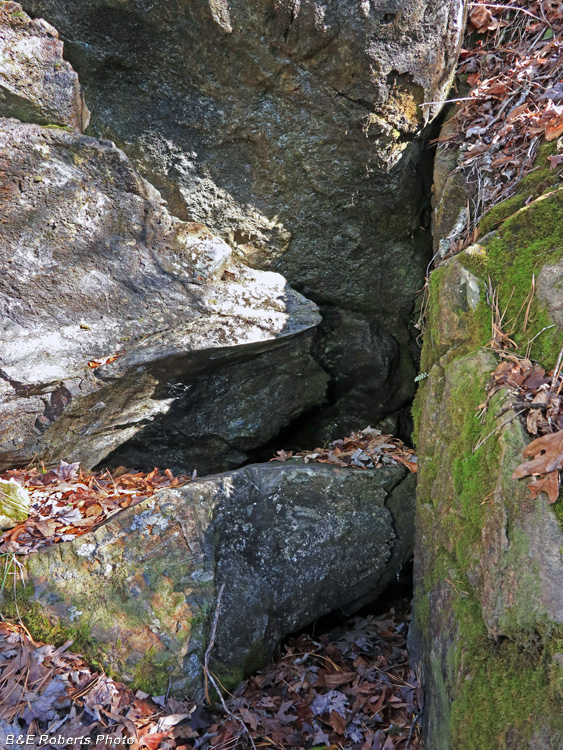
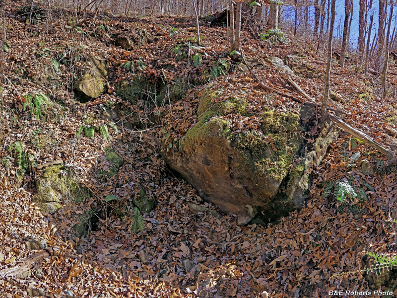
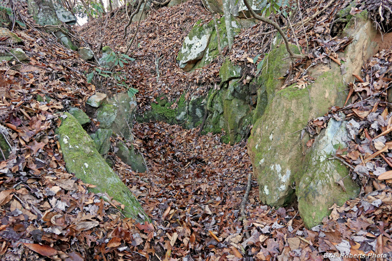
| Coming in from the bottom of the cut, one encounters this boulder blocking the way. |
|
 |
|
| Beneath the boulder, one can see the caved-in entrance to the lower "Old Tunnel". |
|
 |
|
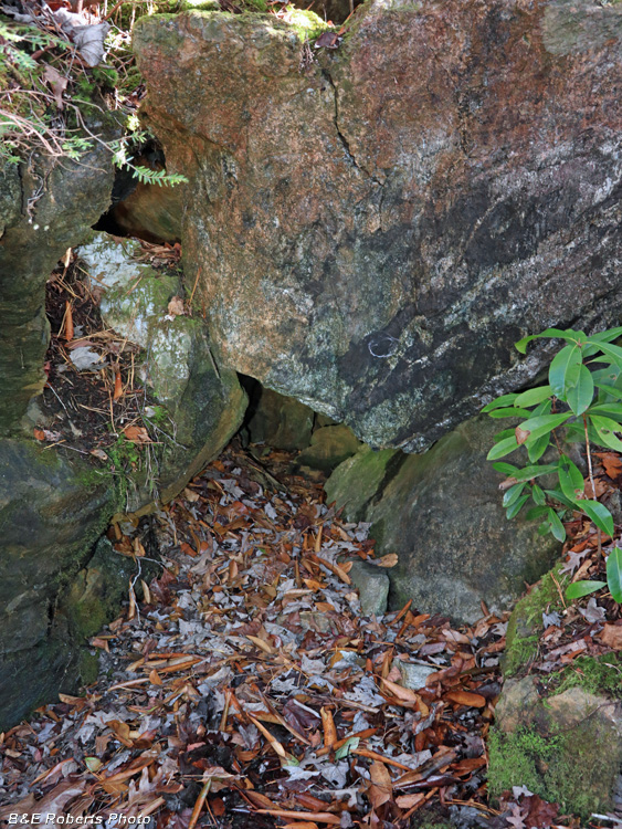
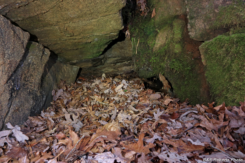
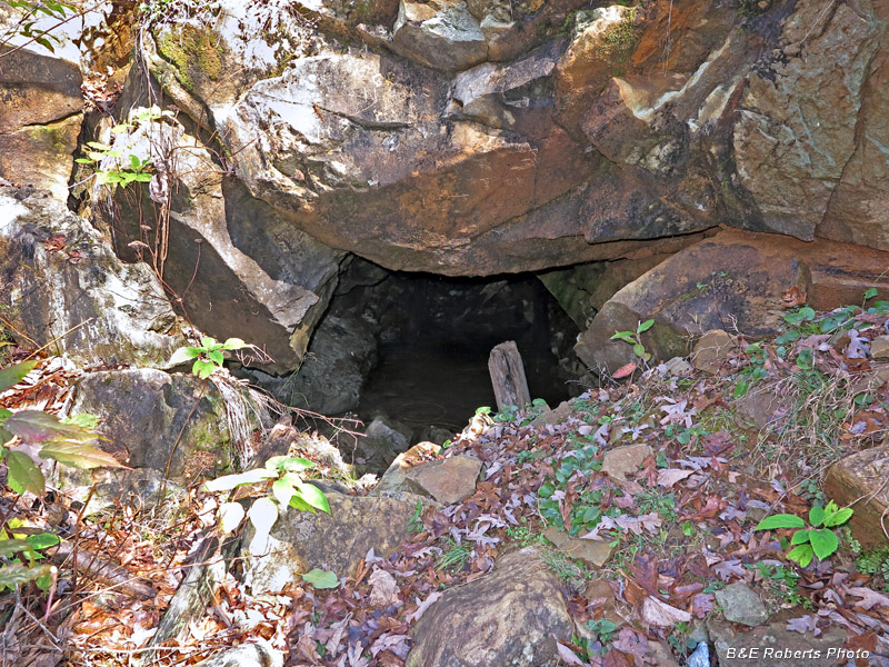
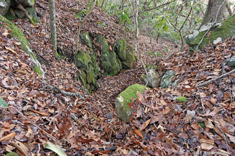
| Getting in a little closer |
|
 |
|
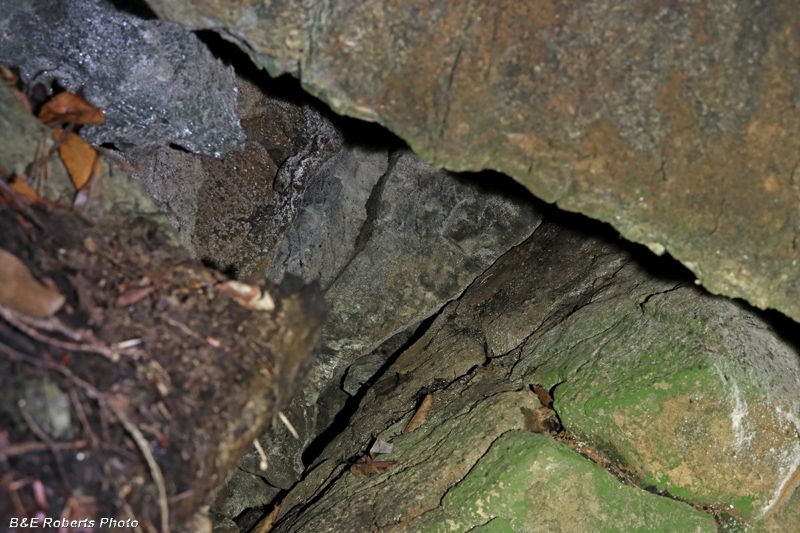
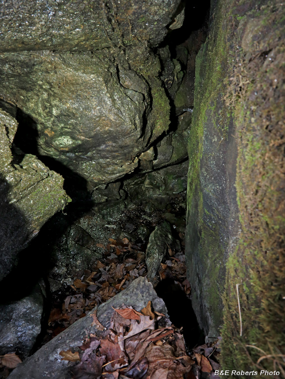
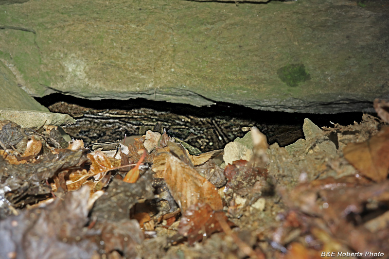
| Despite the adit being blocked by caved-in rocks, one can still see small sections of open passages in the tunnel. |
|
 |
|
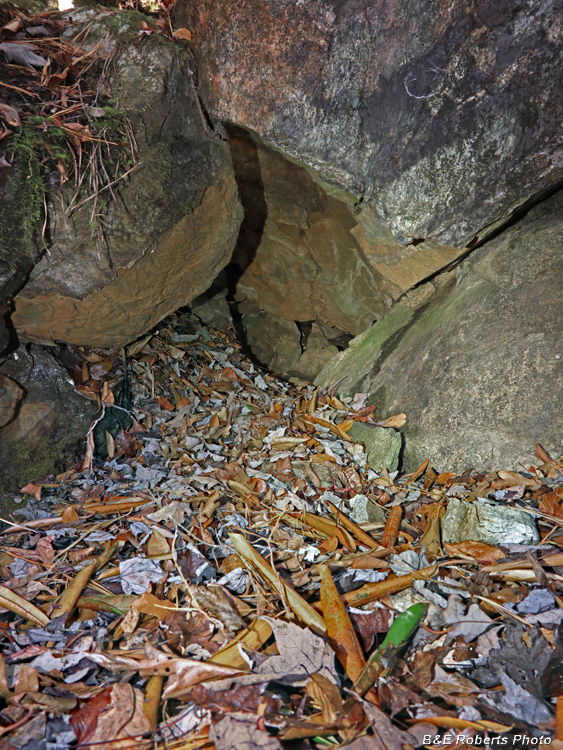
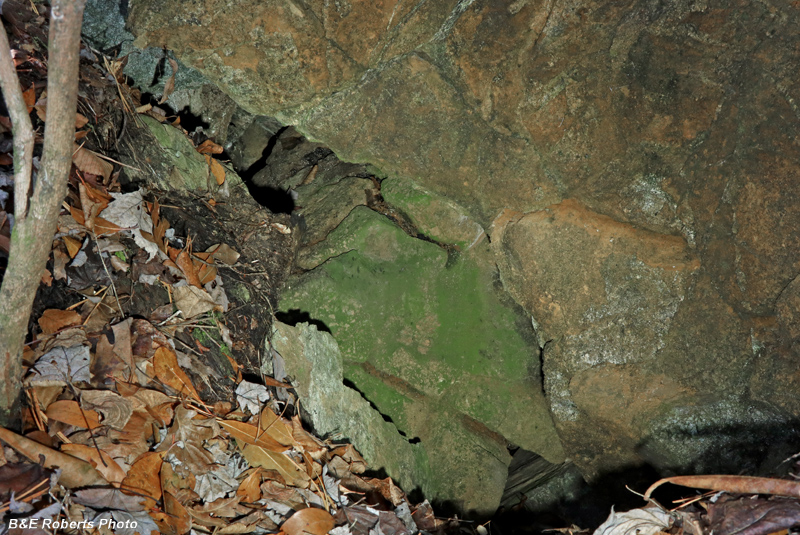
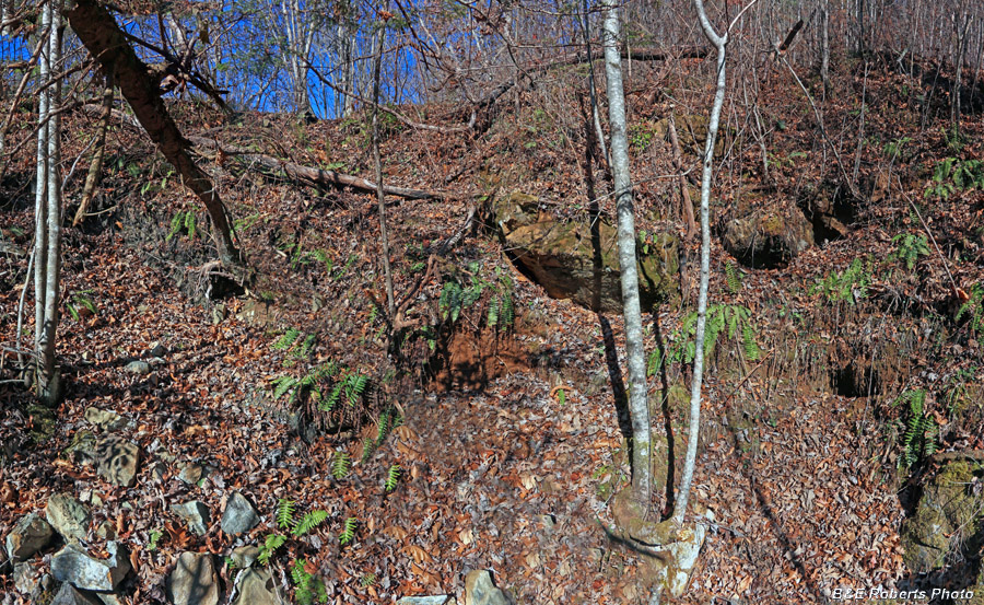
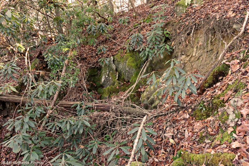
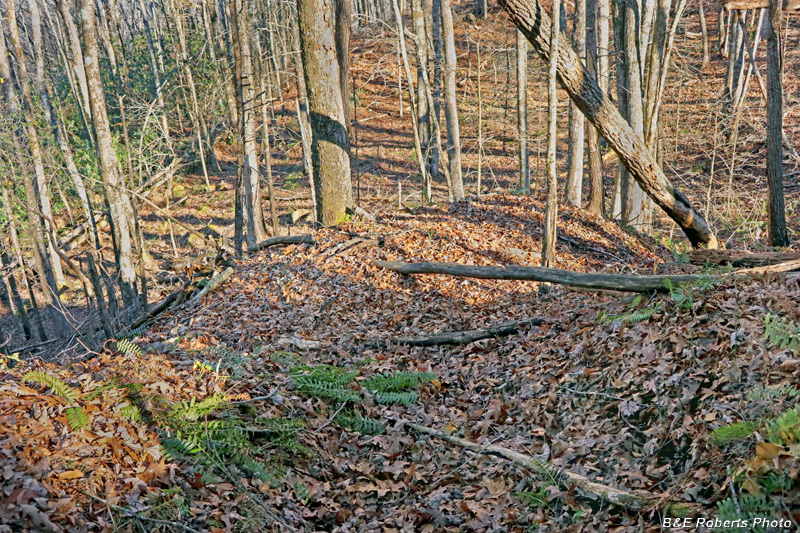
| Another caved in tunnel was just above the lower one. |
|
 |
|
| Hard to see in the photo, but more open areas can be seen between the collapsed rocks. |
|
 |
|
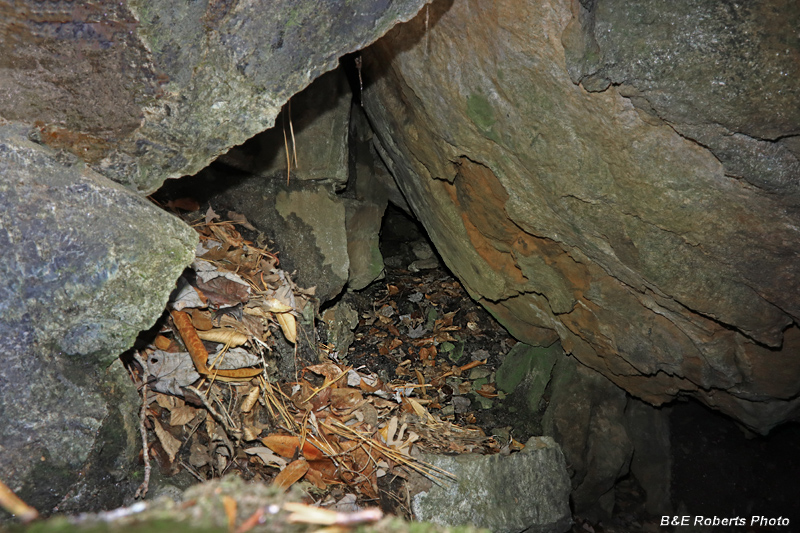
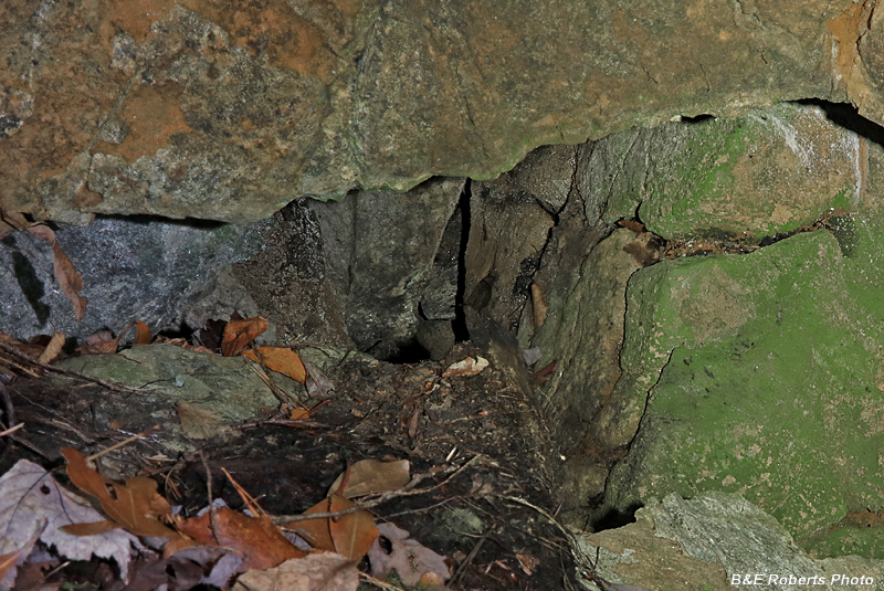
| Another crack in the rocks that opened up way below. Unlike tunnels with earthen cave-ins, these large rocks would be impossible for a person to clean out with hand tools. I don't think all these caved tunnel entrances happened naturally; I'm wondering if the Forest Service bulldozed the openings when they bought the land. |
|
 |
|
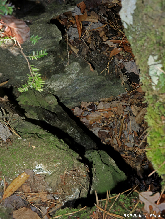
| A little further up; looking down into another opening in the rocks. A small child could maybe fit down here... |
|
 |
|
| Approaching the top of the cut, I found a few more small openings in the rocks. |
|
 |
|
| At the top, a partially filled opening |
|
 |
|
| And one more caved opening at the upper end of the "Old Tunnel" Cut. |
|
| The Big Shaft |
|
 |
|
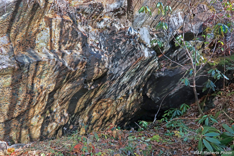
| The "Big Shaft" of the Cullakeenee Mine was the centerpiece of the largest mining operation at Buck Creek. The shaft inclined at a 45 degree angle to a depth of 100 feet. There were two horizontal drifts at the 42 foot level, and the long adit / tunnel connected at approx. 60 foot depth. |
|
 |
|
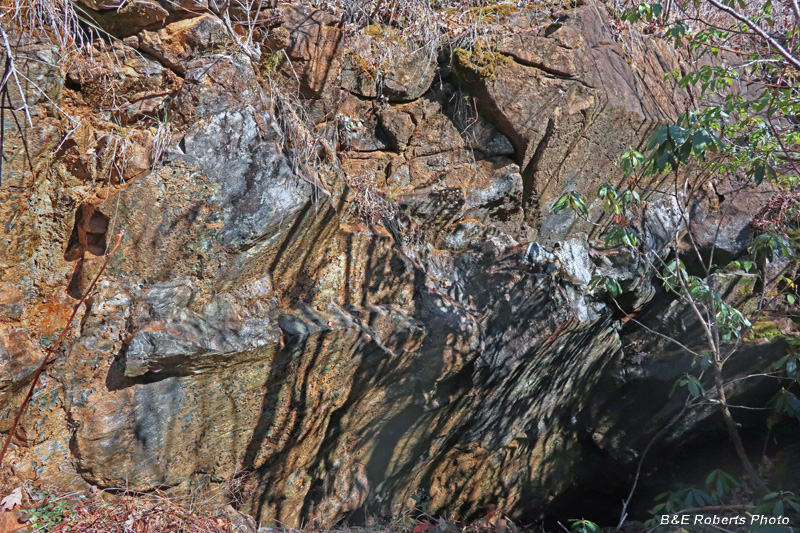
| The Big Shaft, walls of which are shown in this and the previous image, is now mostly caved in, and only about 25-30 feet deep. The two photos were taken from the current bottom of the shaft. |
|
 |
|
| This adit was driven 250 feet by the Bureau of Mines to intersect the Big Shaft while reopening the mine in 1944. (Photo from 2017; the USFS grated the mouth of the tunnel in 2018.) |
|
| The Meminger Cut |
|
 |
|
| The Meminger Cut was one of the first areas to be worked, starting in 1877. |
|
 |
|
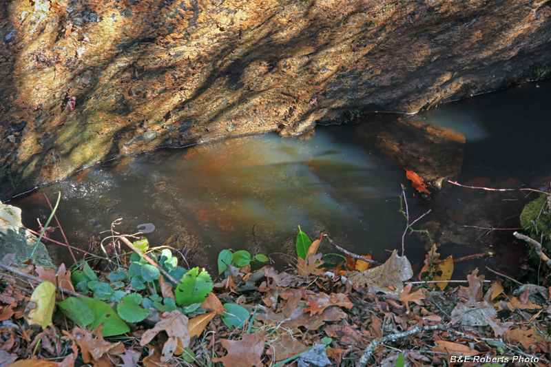
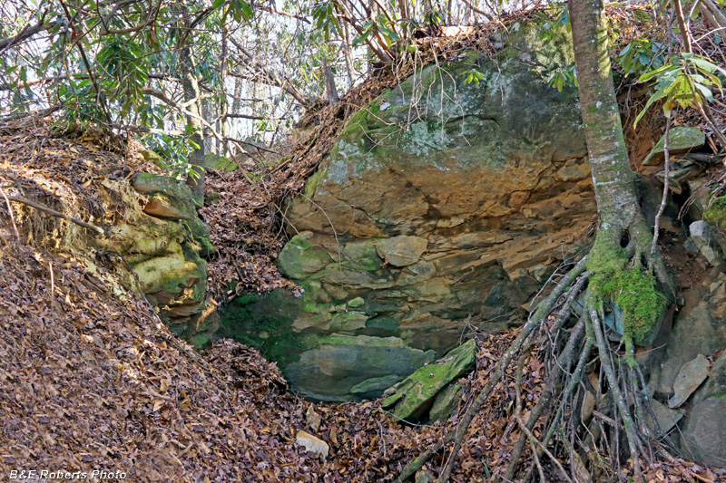
| Water-filled shaft (mostly caved in) at the Meminger Cut |
|
 |
|
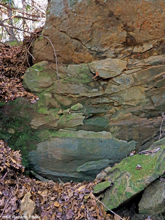
| Rock wall from inside the Meminger Cut (The lighting here was horrible, with the contrast between bright sun and shadows.) |
|
 |
|
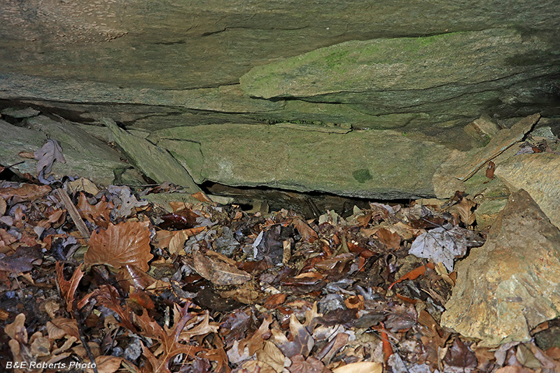
| Meminger Cut - February 2025 The lighting was much better when I revisited on a drizzly day. |
|
| The South Extension |
|
 |
|
| Next, I headed south 0.6 miles, to what was known as the South Extension. The South Extension consists of four cuts, Cut A being the largest. |
|
 |
|
| The Bureau of Mines sank an inclined shaft here in 1945, but it had only reached 8 feet before the project stopped at the close of WW-II. |
|
 |
|
| The shaft is caved in, but the top of the portal is visible. |
|
 |
|
| I took a photo looking inside, but my focus was way off. I should know by now to take more than one shot of a subject. I usually do! |
|
 |
|
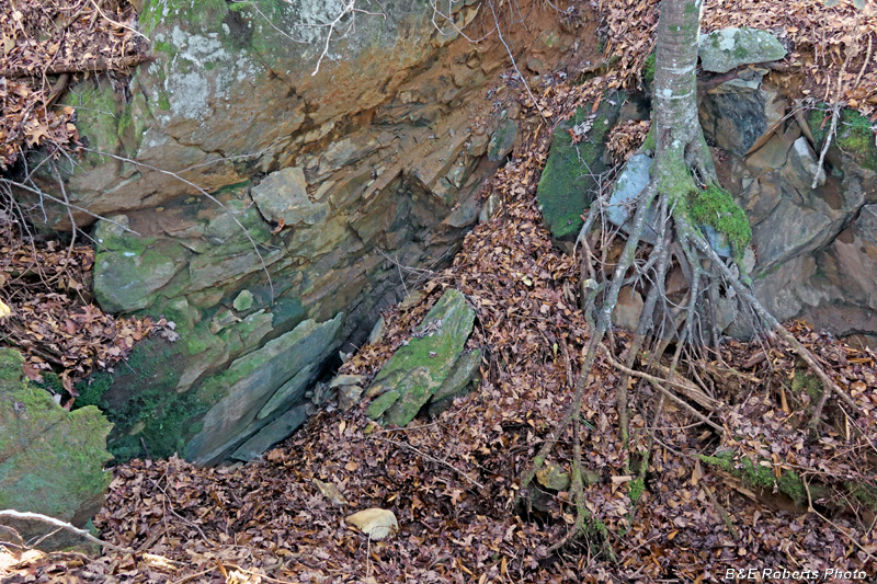
| View down on Cut A from up on the side of the cut |
|
 |
|
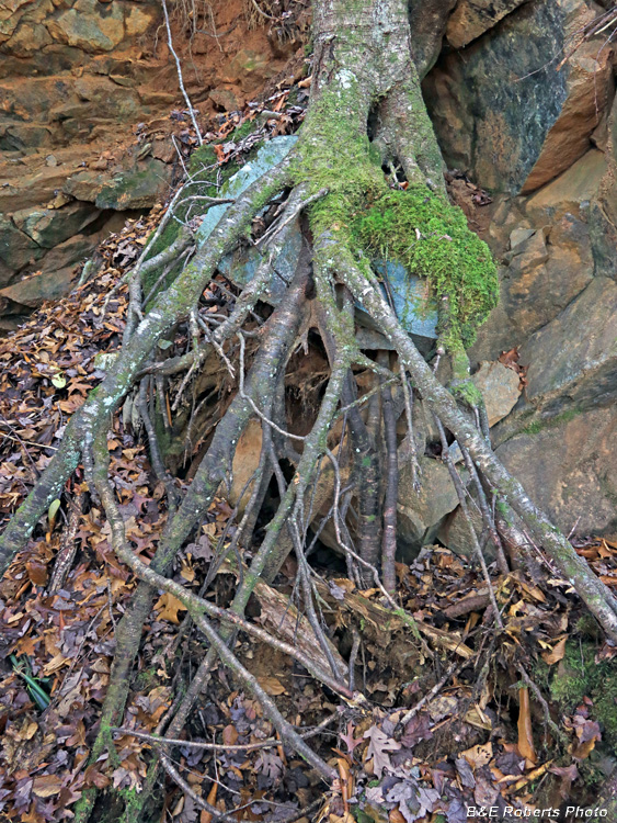
| Bared tree roots in the cut |
|
 |
|
| Boulders above the South Extension |
|
 |
|
| Prospect trench from the 1943 Bureau of Mines survey. |
|
 |
|
| Looking down the prospect trench |
|
 |
|
| BoM Cut at the South Extension |
|
 |
|
| BoM Cut from above |
|
 |
|
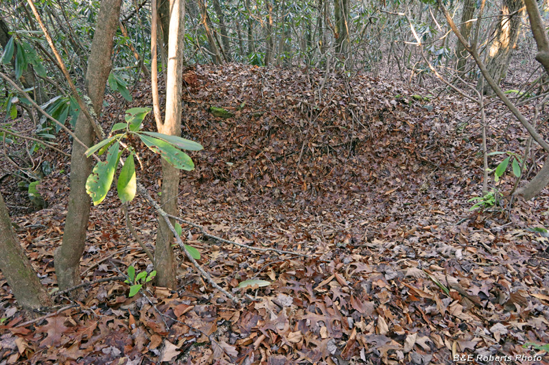
| Head of Cut B at the South Extension Mostly hidden by rhododendron and deadfall... |
|
 |
|
| Cut D at the South Extension |
|
 |
|
| Waste rock pile at mouth of Cut D, South Extension. In these last two albums, I've only visited about half of the Buck Creek mine operations that I've identified. See early 2024 albums for some of the others... |