| H. V. M. Miller Asbestos Mine Rabun County, GA November 2023 |
All Text & Images: Copyright (2023) |
| H. V. M. Miller Asbestos Mine Rabun County, GA November 2023 |
All Text & Images: Copyright (2023) |
| This is the H. V. M. Miller Asbestos Mine, which was originally worked in the 1890s. Interestingly, it is at a location where I have spent some time botanizing over the years, photographing plants that grow in the unusual ultramafic olivine environment here. I was familiar with some of the smaller cuts and one long trench, but just thought they were from an old prospect. But when I found a layout of the old mine, I realized I had never seen the main mine works, which included two long trenches and a few adits and shafts. I wasn't expecting to see much after 130+ years, but made some interesting finds. |
|
 |
|
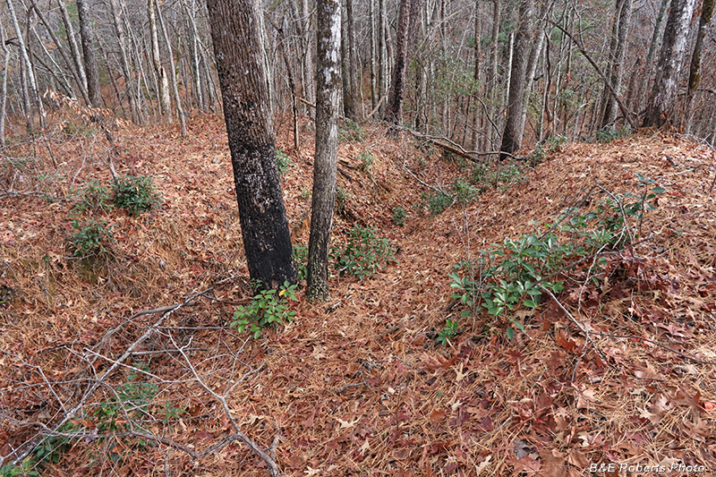
| Trench A The smallest of the three major mine trenches here, near the front of the property off the old road. |
|
 |
|
| I was familiar with this trench, having walked through or across it many times while botanizing here. |
|
 |
|
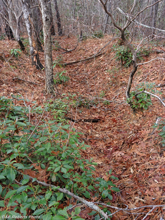
| One more section of Trench A, with exposed dunite rock. |
|
 |
|
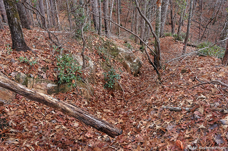
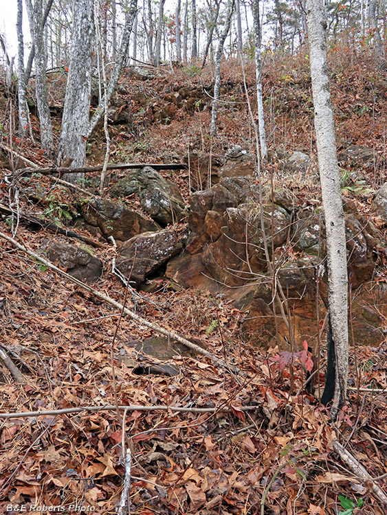
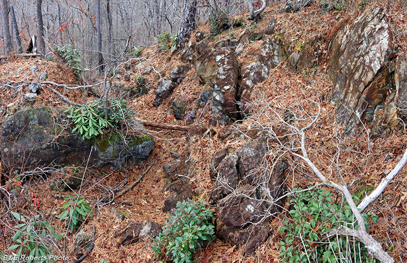
| Trench B By far the largest of the mine trenches here. |
|
 |
|
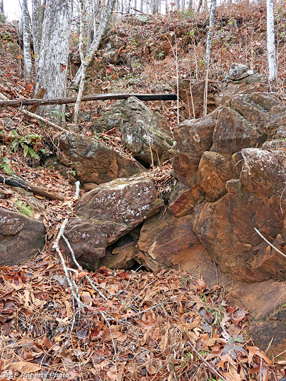
| Dug by hand (aided by black powder) through solid rock... |
|
 |
|
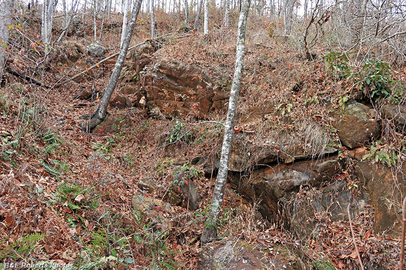
| ...it goes up, over, and then down through the main ridge. |
|
 |
|
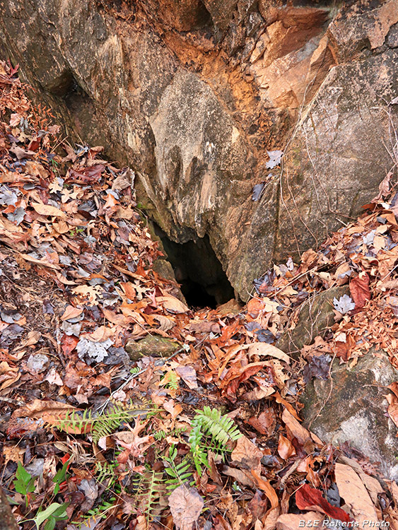
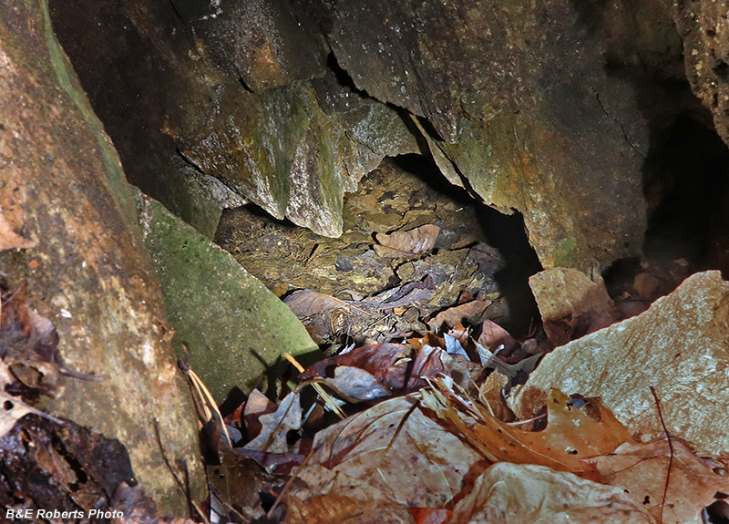
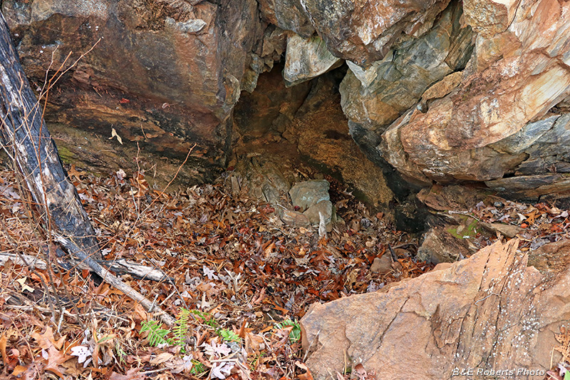
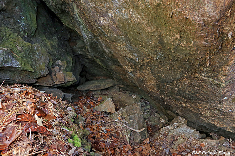
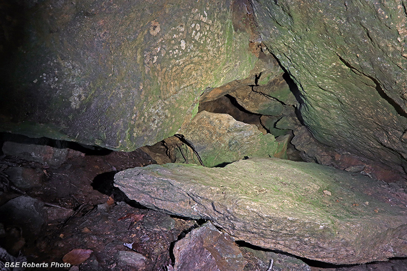
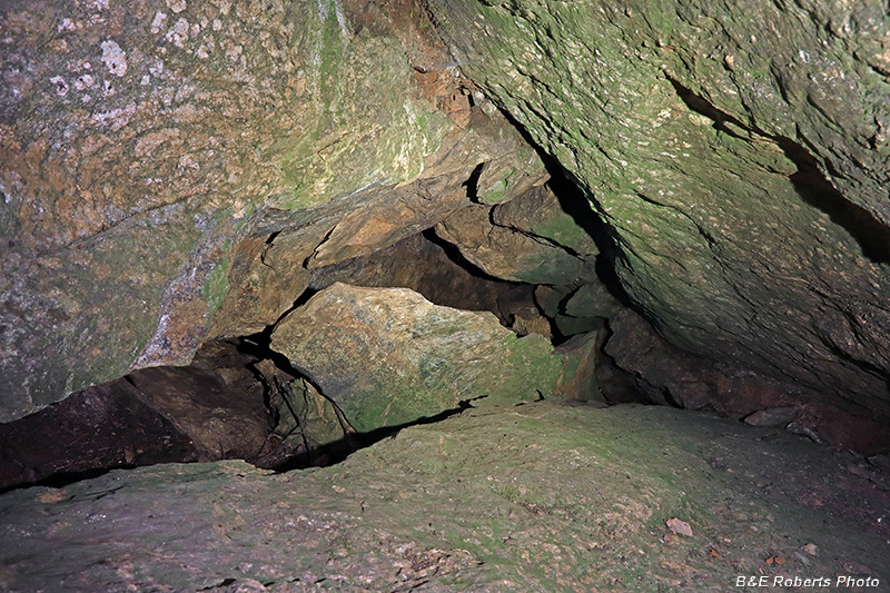
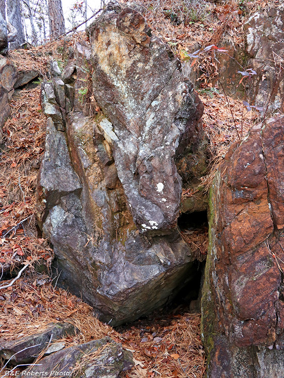
| I knew from the mine layout that there had been an adit tunneled in this trench, although I didn't expect to find anything 133 years later. But what is this hole in the bottom of the trench wall? |
|
 |
|
| A closer look shows that the hole goes down quite a ways. |
|
 |
|
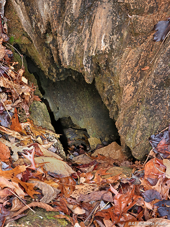
| Reaching down with a light revealed that a tunnel opens up below. It's too bad that the adit mouth has collapsed, leaving an opening too small to enter. And the collapse is mostly rock, so I won't be digging it out! Interestingly, there was a draft of warm air emanating from the hole. |
|
 |
|
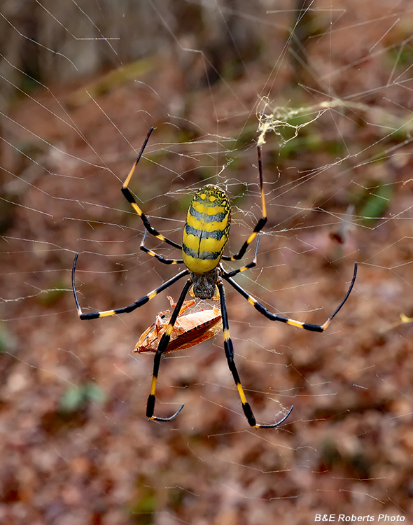
| On my way to the next trench, I almost walked into this big Joro spider (and its prey). It's only the third one I've seen as they've migrated up to the mountains. |
|
 |
|
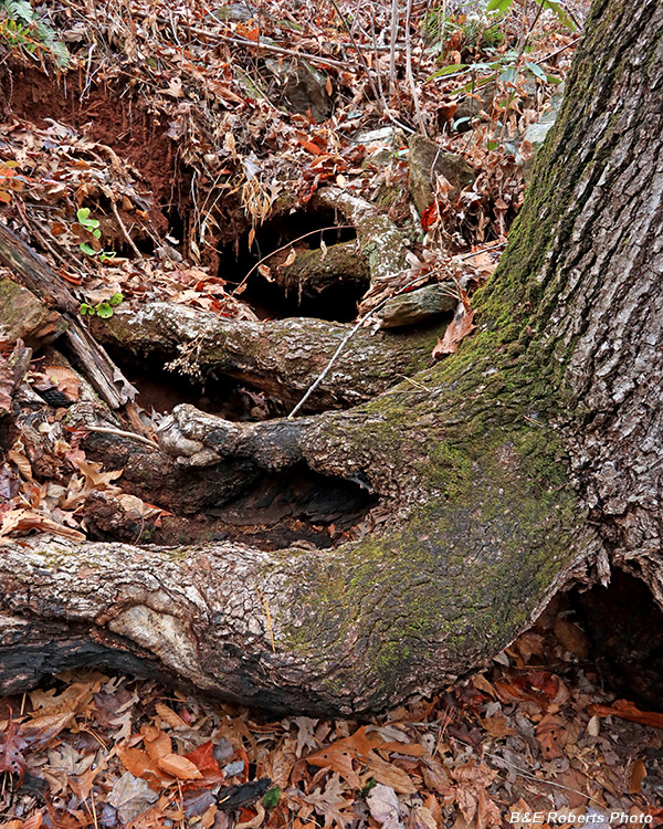
| This huge tree was growing at the head of a mine cut. It looked like there might be a chamber in there, but the roots obstructed any entry. |
|
 |
|
| Trench C is at the far end of the ridge. I knew from the mine layout that there was a shaft here. I found it behind the rock at the center of this photo. |
|
 |
|
| Looking down into the shaft in Trench C. It has long been collapsed, and is filled with rubble. |
|
 |
|
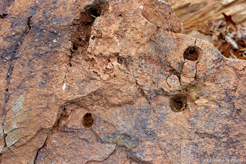
| Old drill marks in rock, trench C. |
|
 |
|
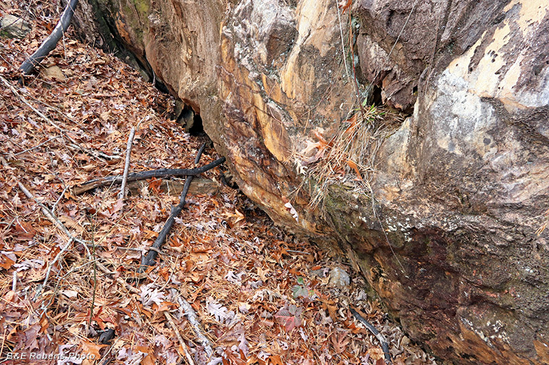
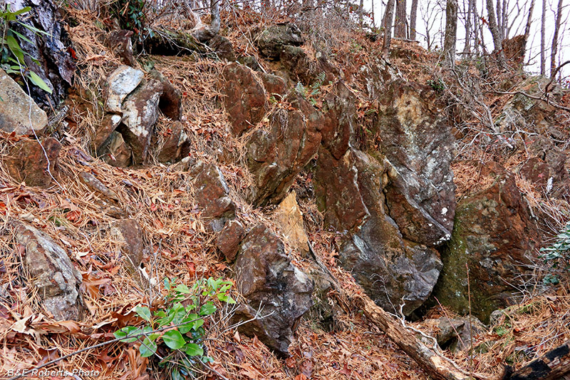
| Side wall of trench C |
|
 |
|
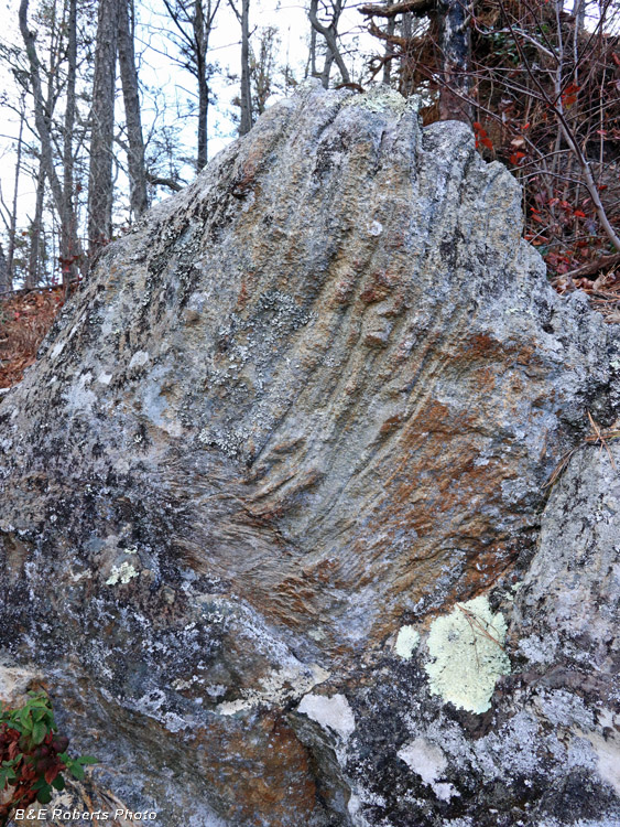
| Folding on a boulder (probably gneiss) adjacent to trench C. |
|
 |
|
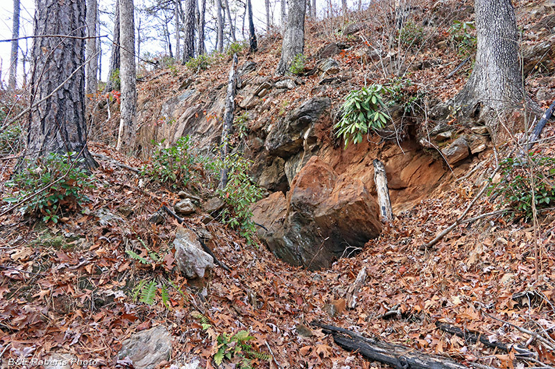
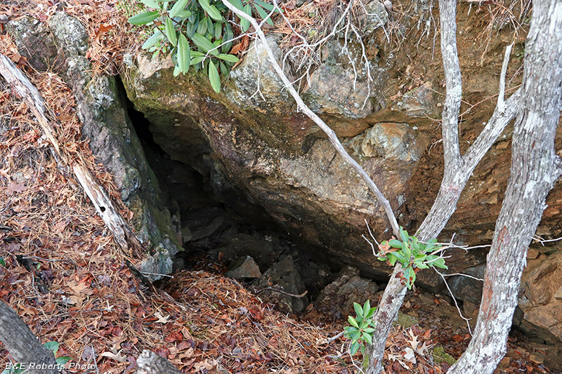
| Further along trench C, I spotted another opening in the lower wall. |
|
 |
|
| Moving in for a closer look... |
|
 |
|
| It appears to be the opening to another adit... |
|
 |
|
| ...but, once again, the rock had collapsed, making it inaccessible. |
|
 |
|
| Approaching the western end of trench C. |
|
 |
|
| Seeing the size of the rocks in these trenches, it's hard to believe that the mining operations were done without mechanized equipment. |
|
 |
|
| Rock wall from down in the end of trench C |
|
 |
|
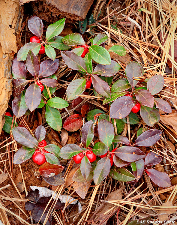
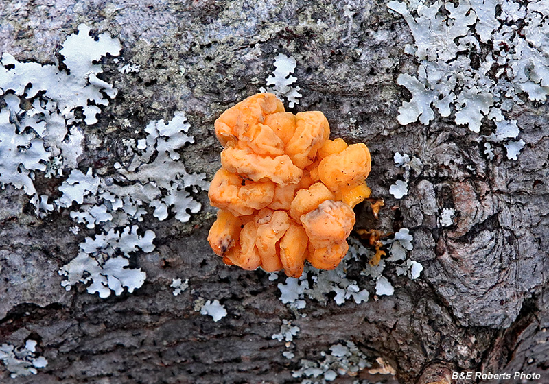
| Eastern Teaberry (Gaultheria procumbens |
|
 |
|
| What I commonly call Witch's Butter It's either true Witch's Butter (Tremella mesenterica) or Golden Ear (Naematelia aurantia). |