| Old Roswell Mills Ruins, Dam and Falls - January 2013 |
All Text & Images: Copyright (2013) |
| Old Roswell Mills Ruins, Dam and Falls - January 2013 |
All Text & Images: Copyright (2013) |
| The first destination was the old Mill dam, reached by a trail along the north bank of Vickery Creek. |
|
 |
|
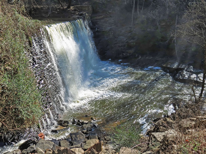
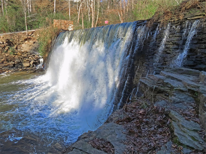
| Millpond Dam |
|
 |
|
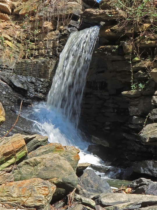
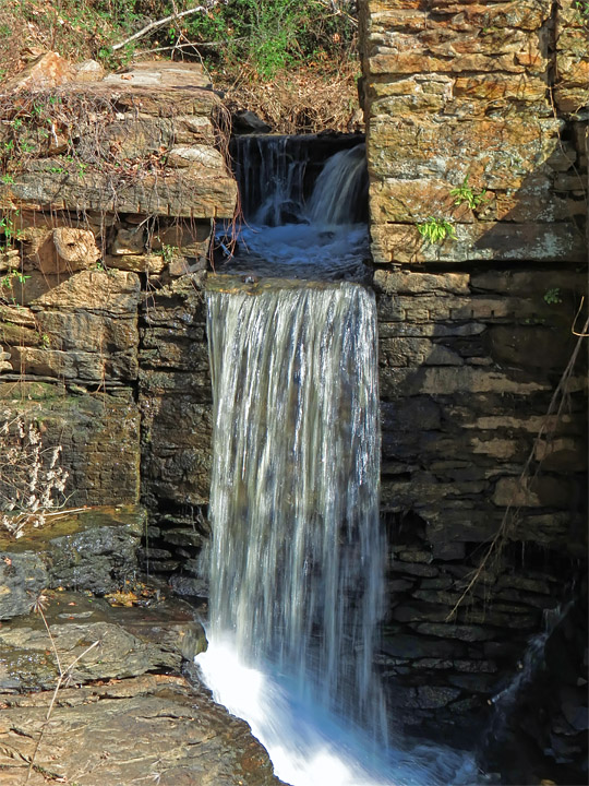
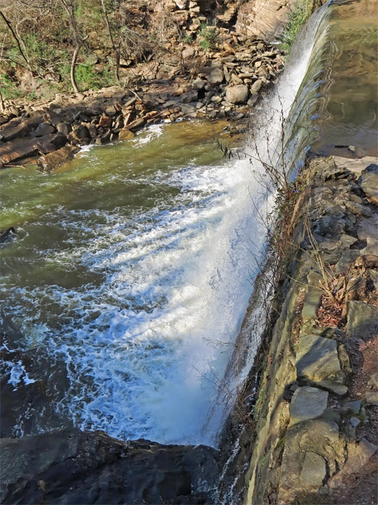
| Dam Spillway - Originally this outlet connected to the flume that powered the Mill. |
|
 |
|
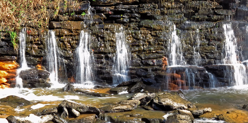
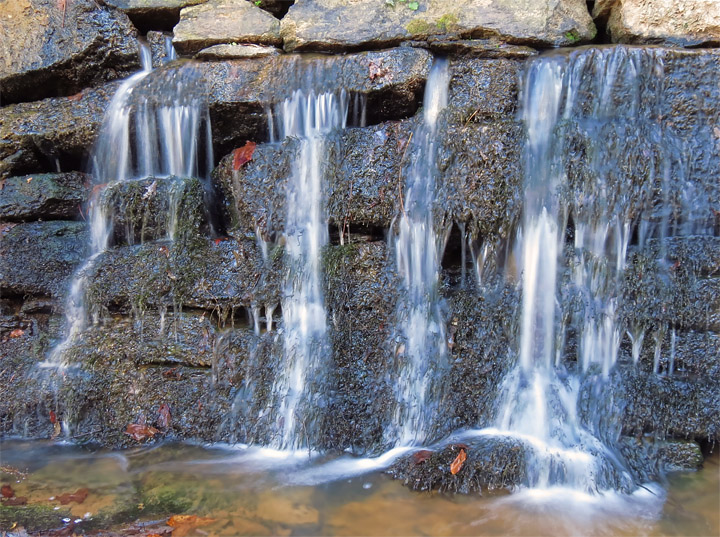
| Water leaking from base of dam. |
|
 |
|
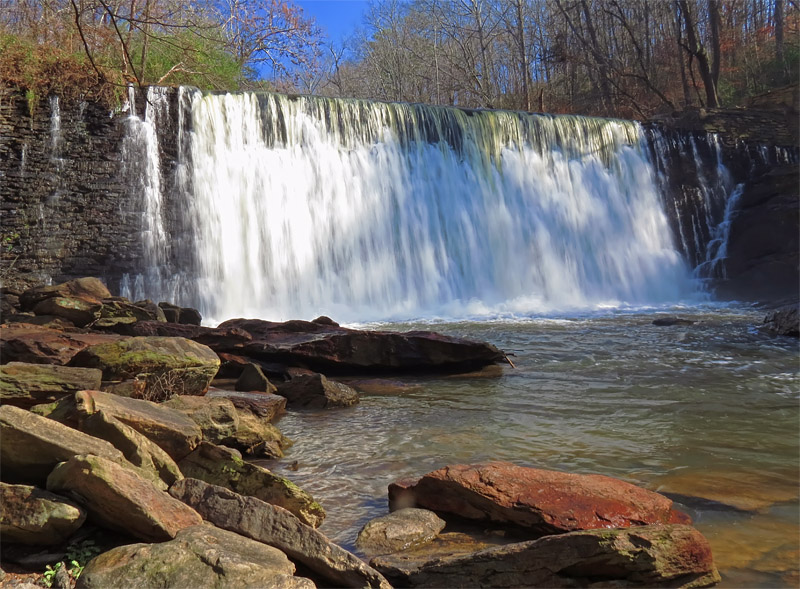
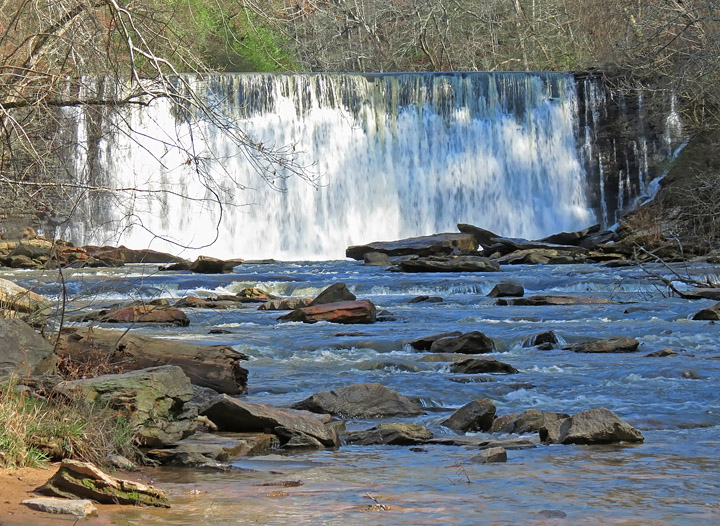
| Several days of rain the previous week made for a good water flow; a mist was rising from the base of the falls. |
|
 |
|
| A different view of the spillway... |
|
 |
|
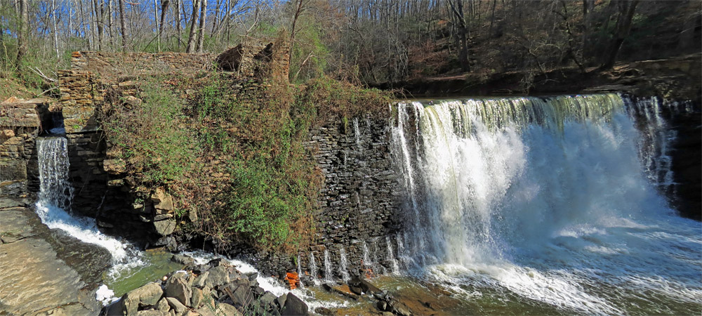
| Panoramic view, showing the juxtaposition of the spillway and dam. |
|
 |
|
| Heading downstream, the view back up Vickery Creek to the dam. |
|
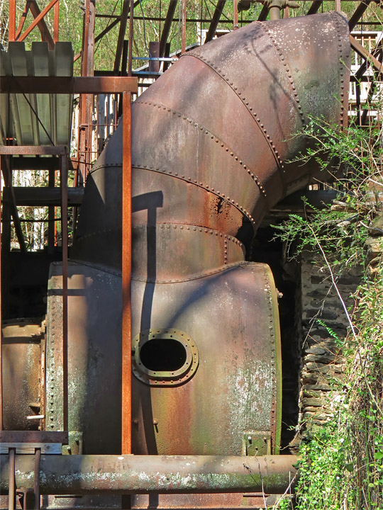
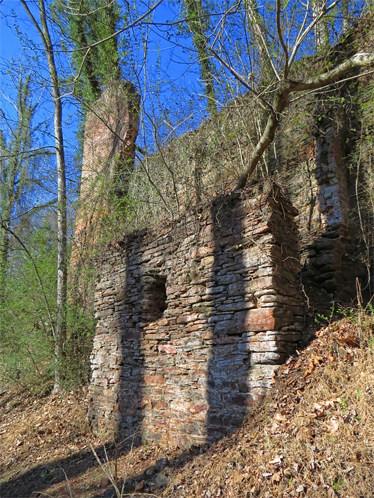
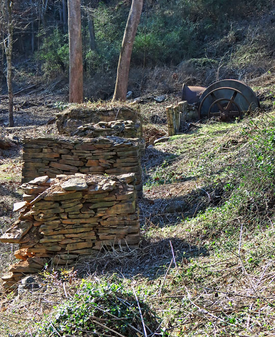
| Continuing downstream, the next stop was a set of ruins and old mill machinery which I had bypassed on the way to the millpond dam. |
|
 |
|
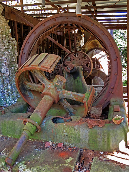
| Mill turbine gears |
|
 |
|
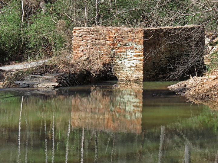
| This was the water intake from the flume |
|
 |
|
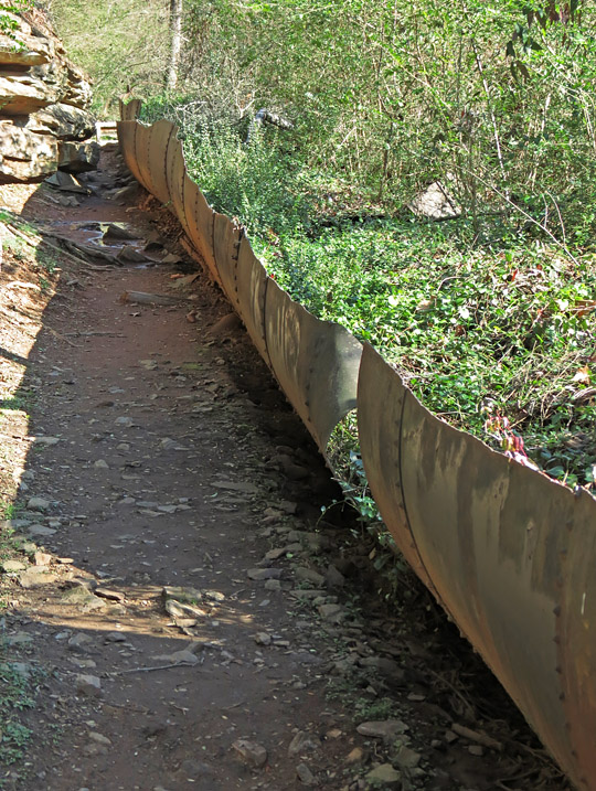
| All that remains of the flume pipe, now split and filled with vegetation. |
|
 |
|
| Mill ruins |
|
 |
|
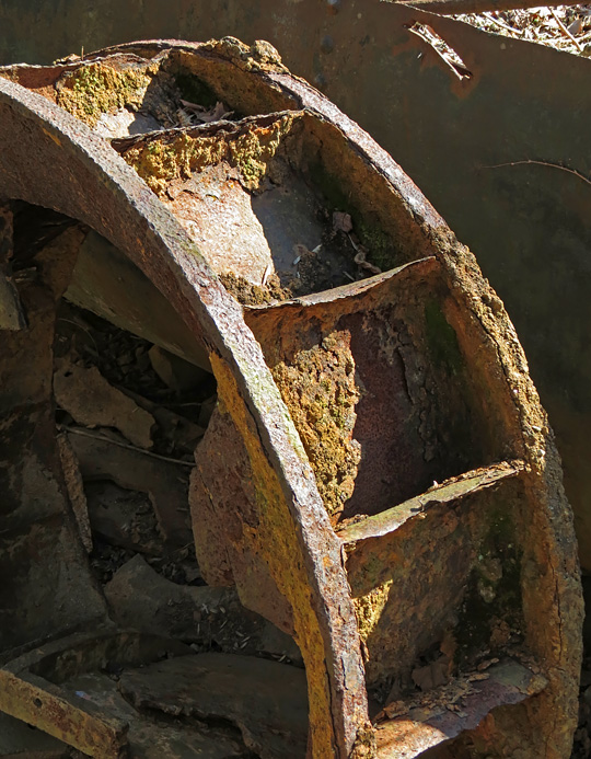
| Rusty metal water wheel |
|
 |
|
| More ruins |
|
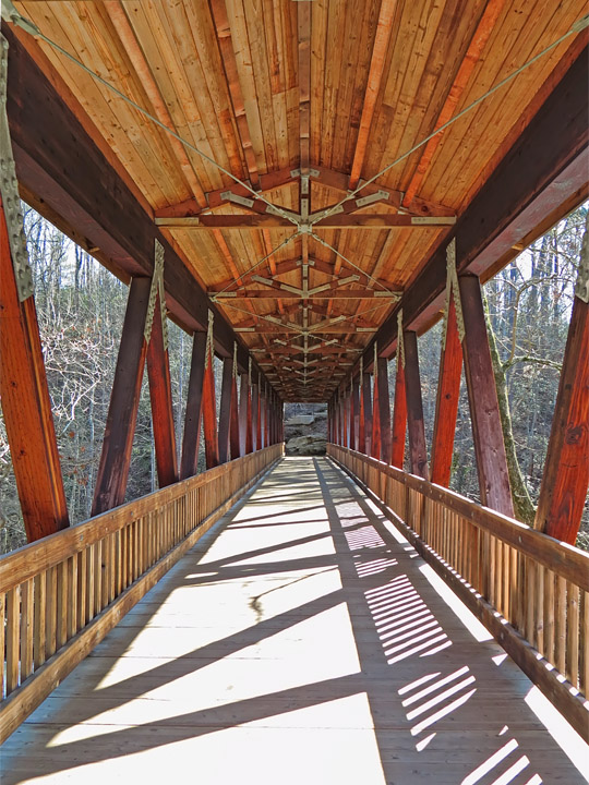
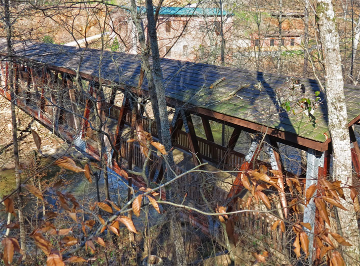
| A covered foot-bridge crosses to the south-east side of Vickery Creek. |
|
 |
|
| Heading over to the other side... |
|
 |
|
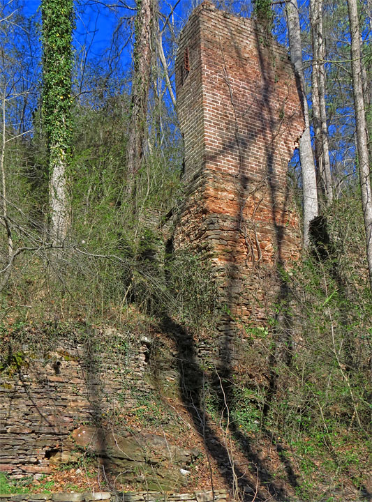
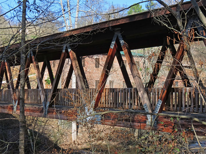
| The only structure still standing from the Mill complex (a machinery shop) is visible behind the bridge. |
|
| Took the trail along the ridge south of the creek, back to the Mill dam falls... |
|
 |
|
| Looking down from the edge of the dam |
|
 |
|
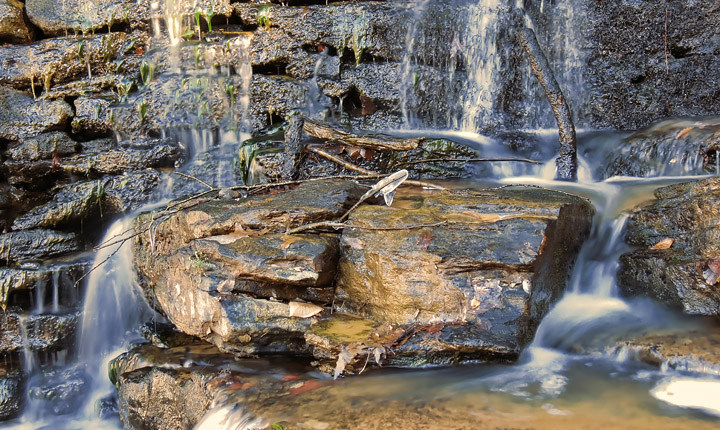
| In the shade at the dam base, a bit of ice remained from the cold overnight. |
|
 |
|
| Millpond, above the dam |
|
 |
|
| Mill Dam from rocky ledge on the south end |
|
 |
|
| More leaks in the dam... |
|
 |
|
| Heading back, view down the trail to the bridge |
|
 |
|
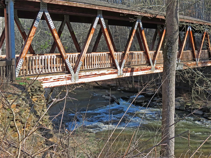
| Bridge and shoals |
|
 |
|
| A few remaining flume support piers and machinery downstream from the bridge |
|
 |
|
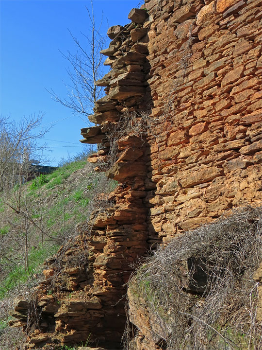
| Remains of another wall... |
|
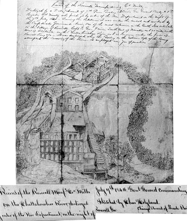
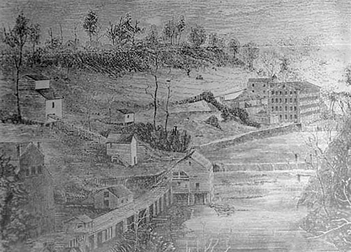
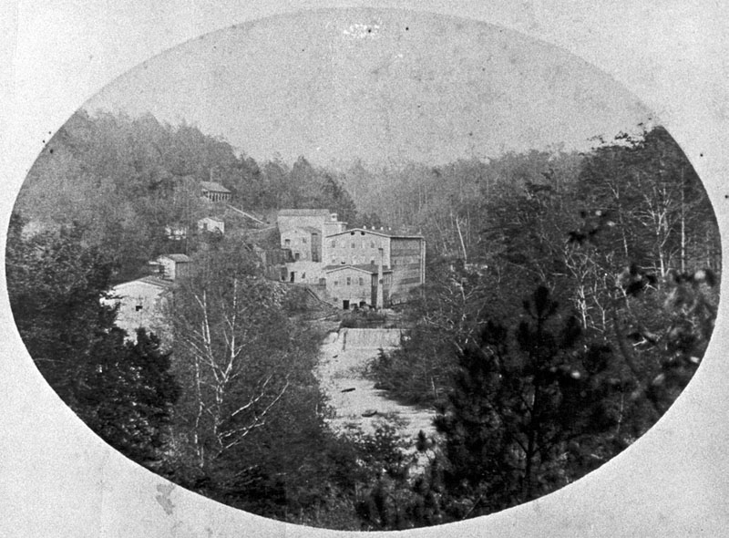
| A few historical drawings and photos of the Roswell Mills: |
|
 |
|
| Charles Holyland's sketch of the destroyed Mills - July 1864 from Roswell Historical Society |
|
 |
|
| Historic drawing of the Mills rebuilt after the Civil War. Comparing the buildings in this image and the next, the above appears to be somewhat earlier... |
|
 |
|
| Mills as rebuilt after the Civil War. from Roswell Historical Society |