| Chunky Gal Mountain Late October 2019 |
All Text & Images: Copyright (2019) |
| Chunky Gal Mountain Late October 2019 |
All Text & Images: Copyright (2019) |
| I hiked the Appalachian Trail from Deep Gap up to Ravenrock Ridge, trekking on a section of old rerouted AT as well as the current Trail. Highlights were the views from Ravenrock, the foliage, and seeing the remains of the 1973 Cessna crash. |
|
 |
|
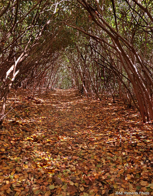
| Section of the AT through a rhododendron tunnel |
|
 |
|
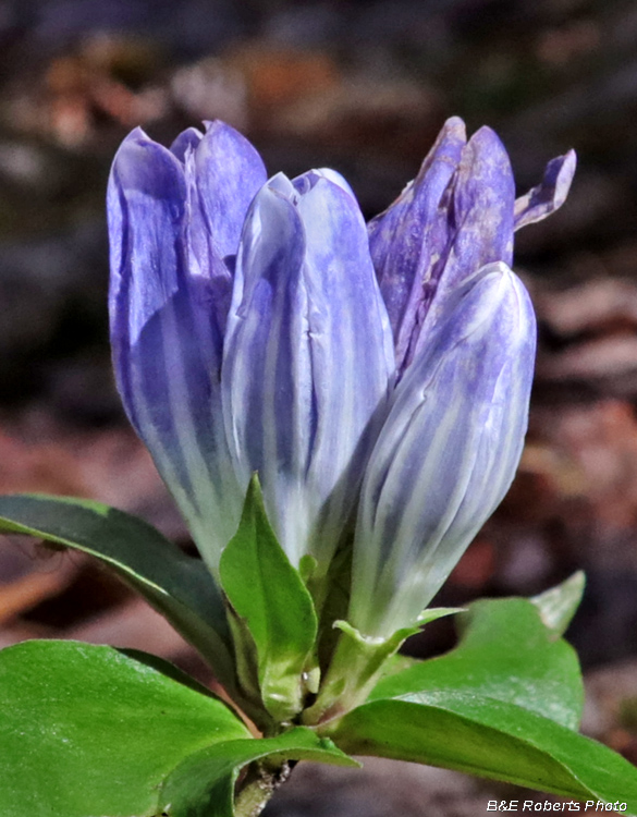
| Appalachian Gentian (Gentiana decora) growing in the trail. I was surprised that it hadn't been trampled. |
|
 |
|
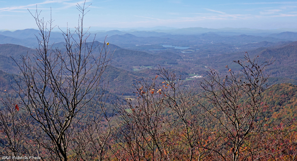
| View from near Sassafras Gap, looking into the valley of Eagle Fork Creek, with part of Lake Chatuge in the distance. |
|
 |
|
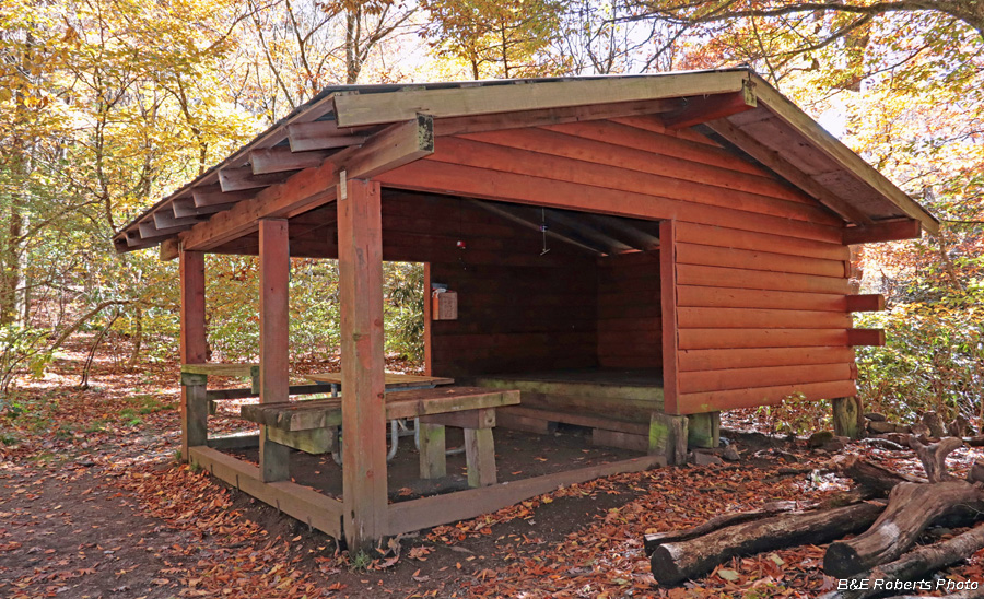
| Muskrat Creek Shelter, along the AT |
|
 |
|
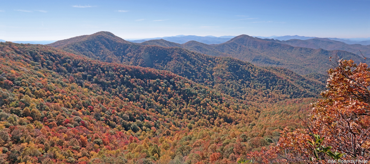
| The view from Ravenrock over the NC-GA state line into Georgia, looking at the High Cove Ridge of the Southern Nantahala Wilderness Area. The major peaks seen in this view are Courthouse Bald at left, Hightower Bald at right-center, and the double peak of Eagle Mountain at far right. |
|
 |
|
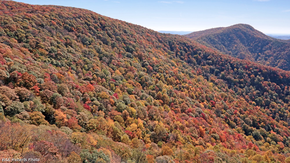
| Some nice color on Middle Ridge. |
|
 |
|
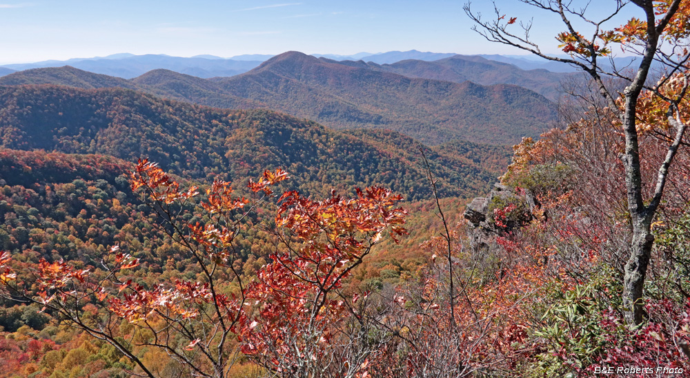
| Another view of High Cove Ridge from a different outcrop on Ravenrock. Hightower Bald is near the center of this image. |
|
 |
|
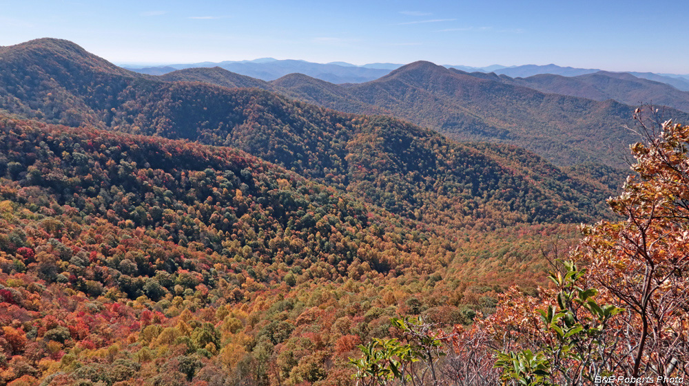
| High Cove Ridge basically runs E-W along the Georgia side of the NC-GA state line. |
|
 |
|
| View toward Sassafras Gap and the Tennessee Valley Divide |
|
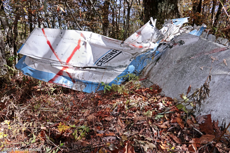
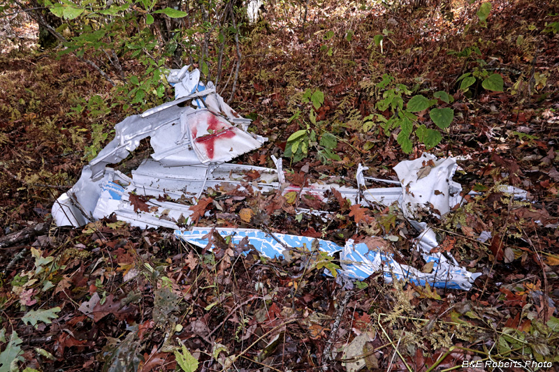
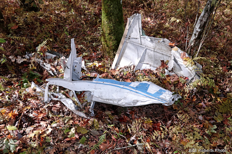
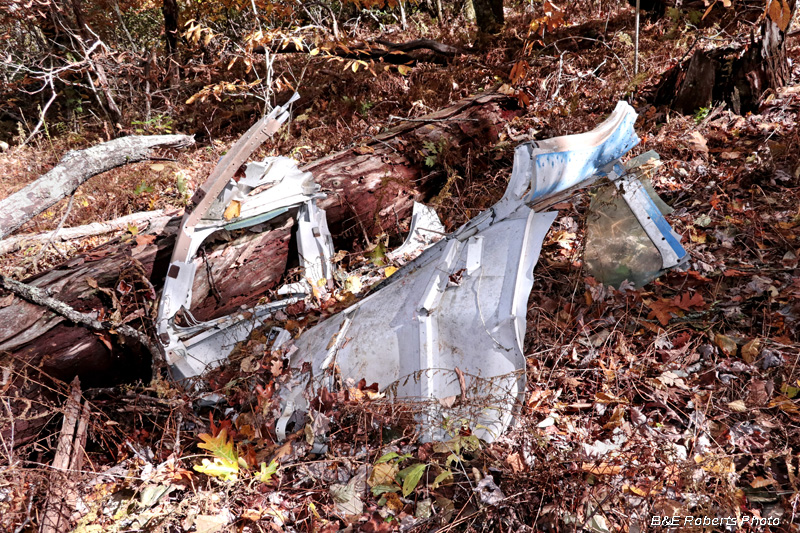
| N29241 was a Cessna 206 that crashed into the top of Ravenrock on November 25, 1973. The mountain was obscured by clouds and rain, and the pilot was not rated for IFR (Instrument Flight Rules). Additional details can be read by doing a search on the aircraft ID number. |
|
 |
|
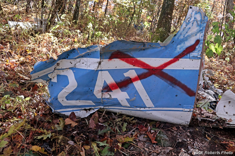
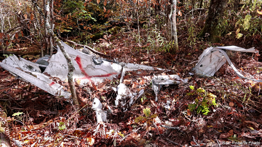
| The red X's indicate that the crash scene has been investigated. |
|
 |
|
 |
|
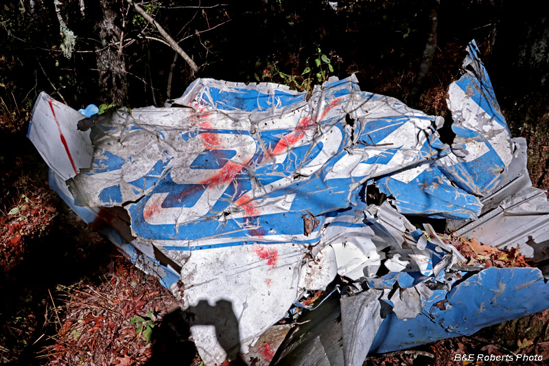
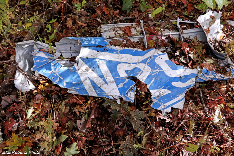
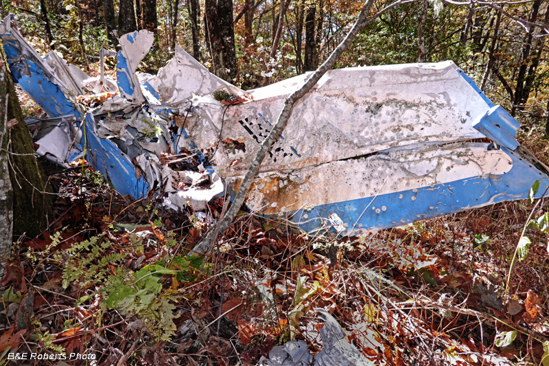
| N29241 wreckage, showing the aircraft registration number. |
|
 |
|
 |
|
 |
|
| N29241 wreckage, showing partial registration number N29 |
|
 |
|
| N29241 wreckage, showing partial registration number 241 |
|
 |
|
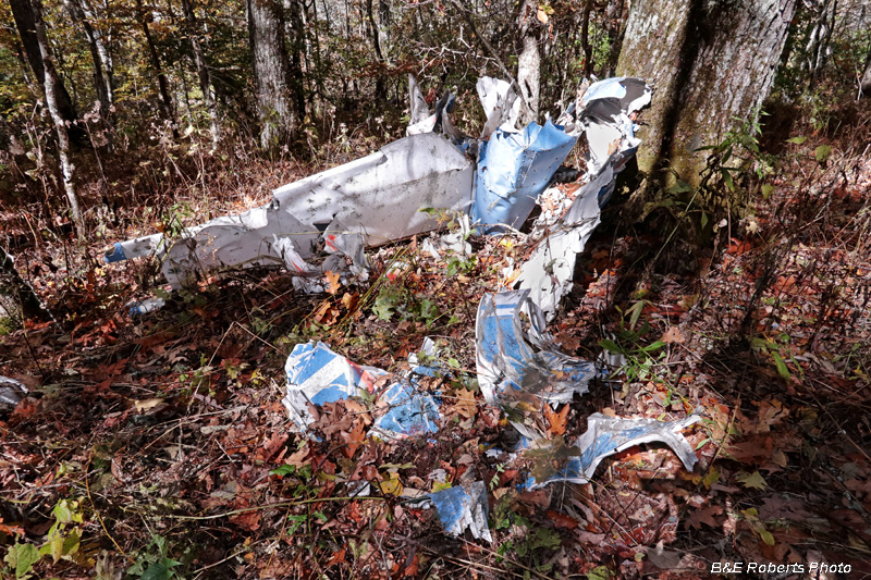
| Windows and glass are visible in this piece of wreckage |
|
 |
|
 |
|
 |
|
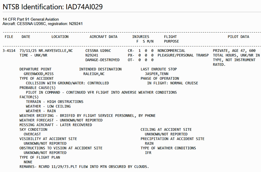
| Incident Summary |
|
 |
|
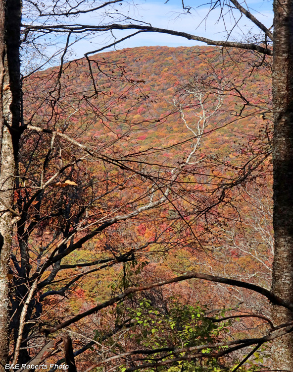
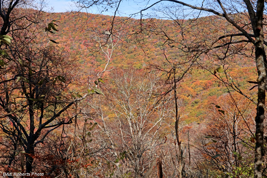
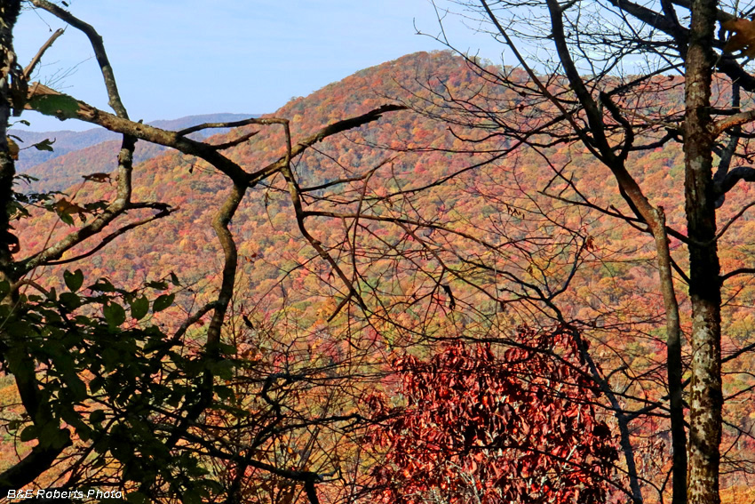
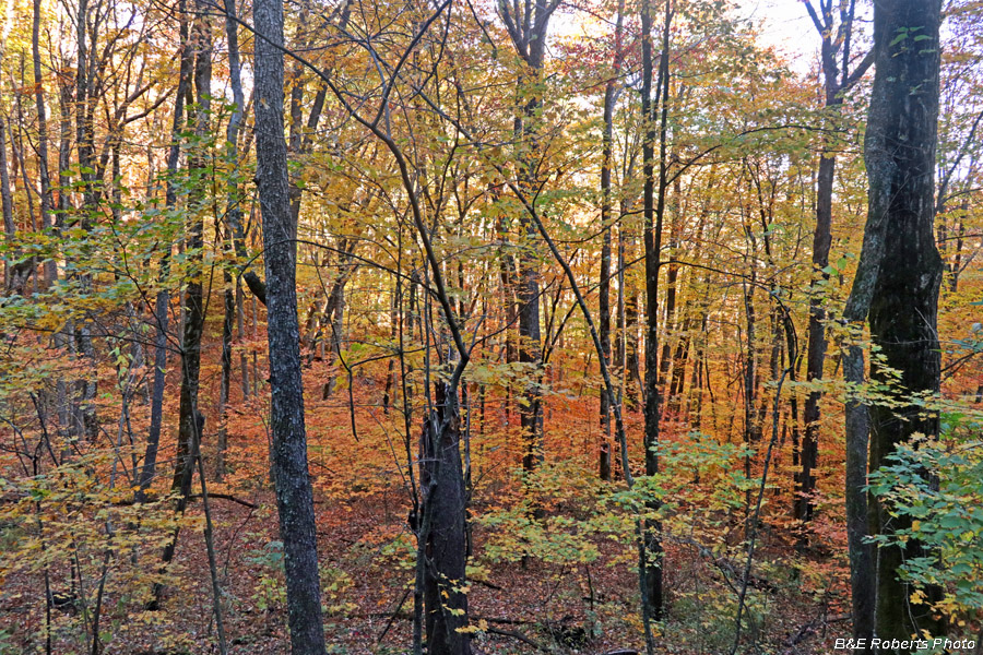
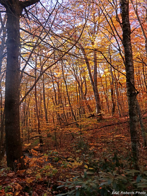
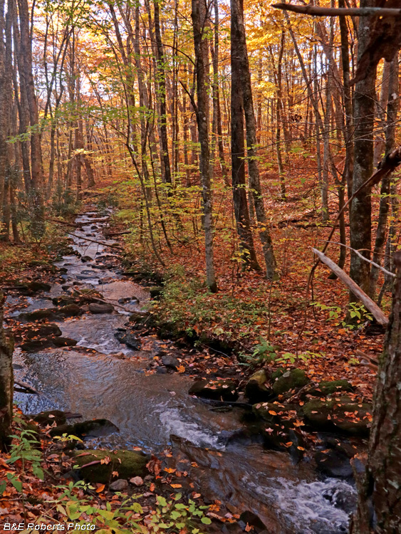
| Except for the outcrop at Ravenrock, there were no open vistas along my route. |
|
 |
|
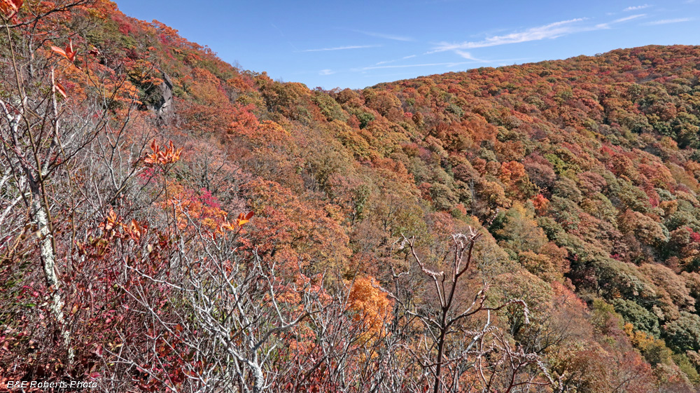
| I had to shoot through the trees to show the nice foliage colors seen along the A.T. |
|
 |
|
| These foliage photos are in chronological order coming down the mountain. |
|
 |
|
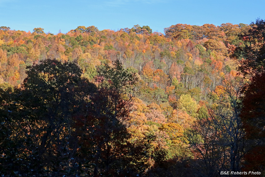
| From Deep Gap - The low sun was highlighting the colors by this point. |
|
 |
|
| Along the road to Deep Gap |
|
 |
|
| Back-lit leaves |
|
 |
|
| Back-lit scene along Little Buck Creek |