| BMT to the Narrows of the Hiwassee River Polk County, TN |
All Text & Images: Copyright (2021) |
| BMT to the Narrows of the Hiwassee River Polk County, TN |
All Text & Images: Copyright (2021) |
| The Narrows of the Hiwassee River are between the Apalachia Dam and Apalachia Powerhouse. Due to the water being diverted for power generation, the only water now in this section of river is from the tributaries that flow into it. The old river bedrock is mostly exposed, with many potholes and other hollows and carvings, created by eons of grinding action by sediment and rocks swirled around via eddies and the force of the (formerly) fast flowing water. I accessed the area via the Benton MacKaye Trail. |
|
 |
|
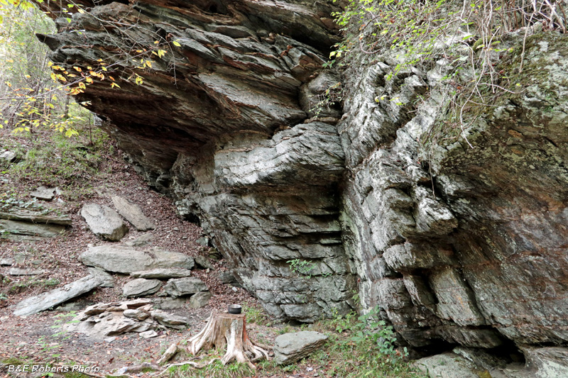
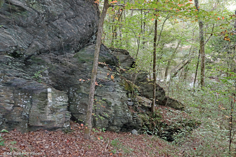
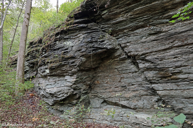
| There are many rock outcrops, rock shelters and cliffs along this section of the Benton MacKaye Trail. This one had a camp site beneath the overhang. |
|
 |
|
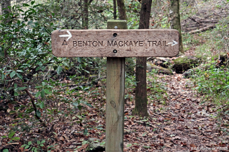
| BMT sign |
|
 |
|
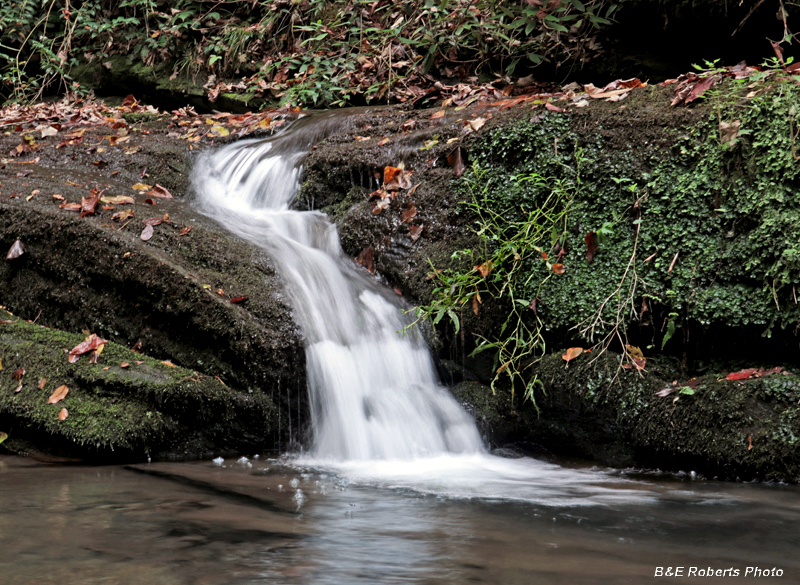
| The BMT passes a small waterfall from a tributary creek... |
|
 |
|
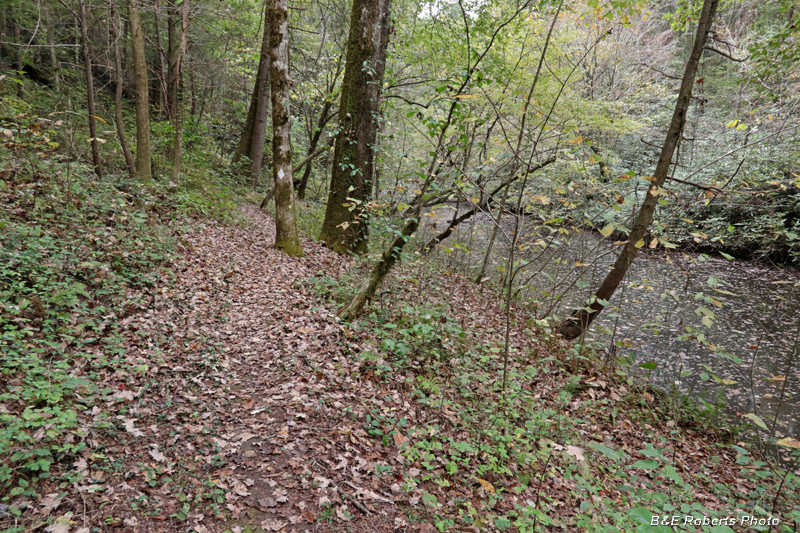
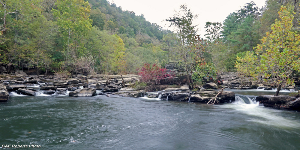
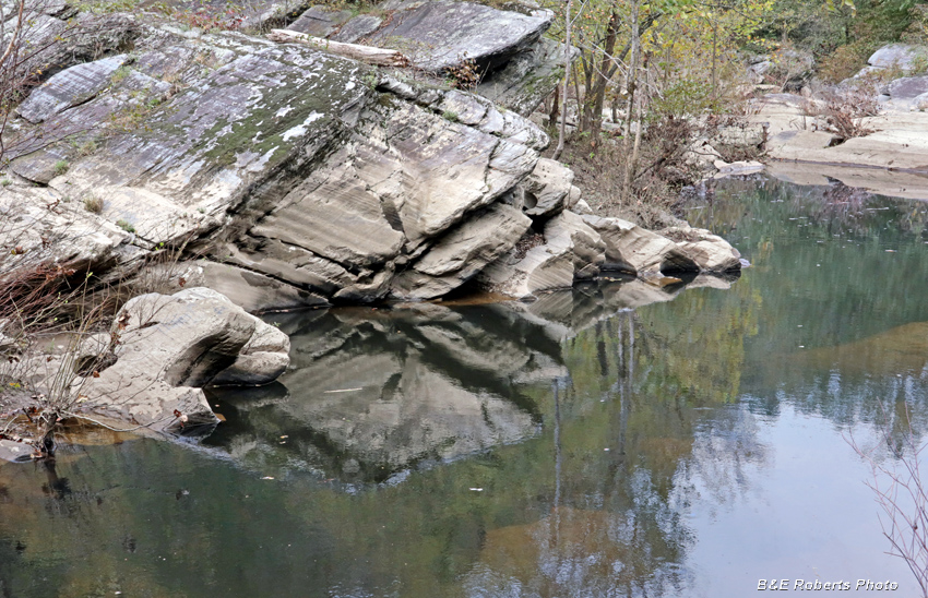
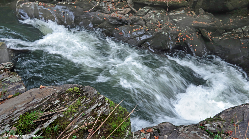
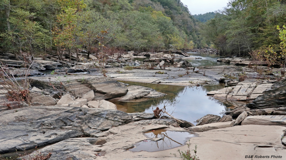
| This section of trail follows a channel of the main river. |
|
 |
|
| There are a number of switchbacks where the trail detours around rock outcrops, or steep / cliffy areas. This is one such area; the river is visible below. |
|
 |
|
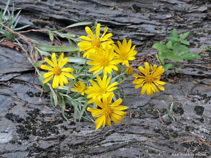
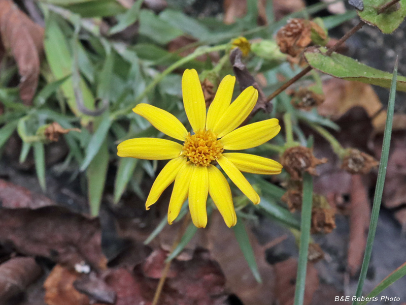
| I have an album of Ruth's Golden Asters (Pityopsis ruthii) at the Ocoee River. The Hiwassee River here contains the only other population of this rare plant. |
|
 |
|
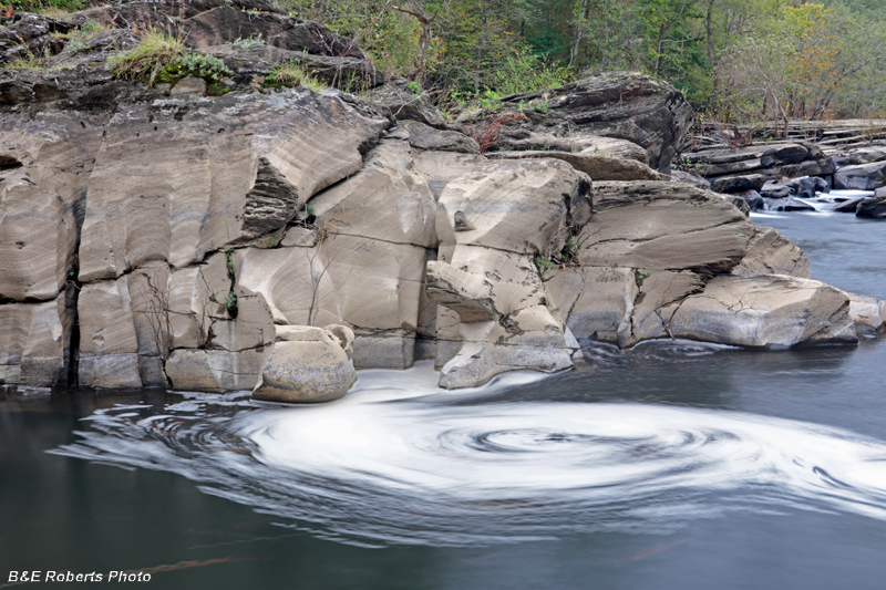
| I hoped to capture a nice swirl in front of this eroded rock, but there was too much foam in the water for a great swirl photo. |
|
 |
|
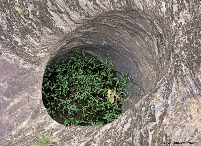
| Vegetation growing in a pothole |
|
 |
|
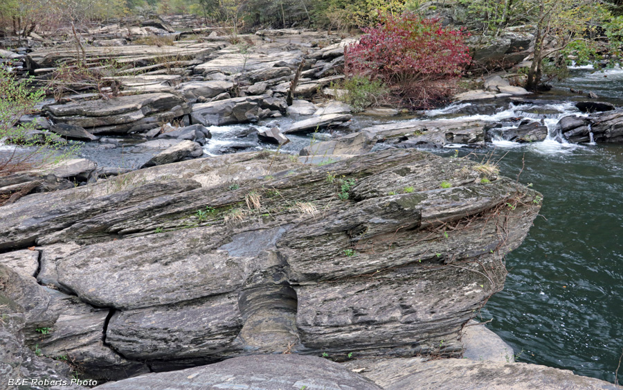
| Beginning of one of the sections of exposed river bedrock. |
|
 |
|
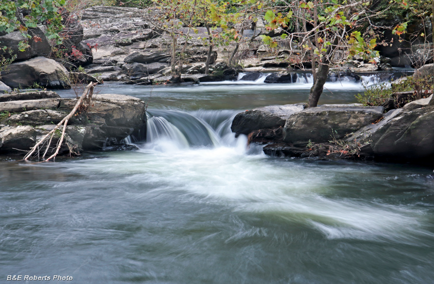
| Small waterfall / cascade on the river. |
|
 |
|
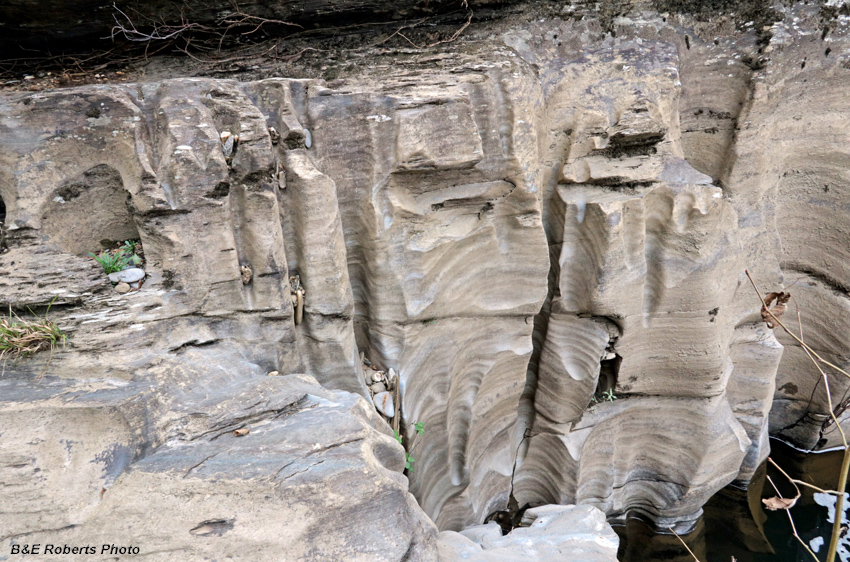
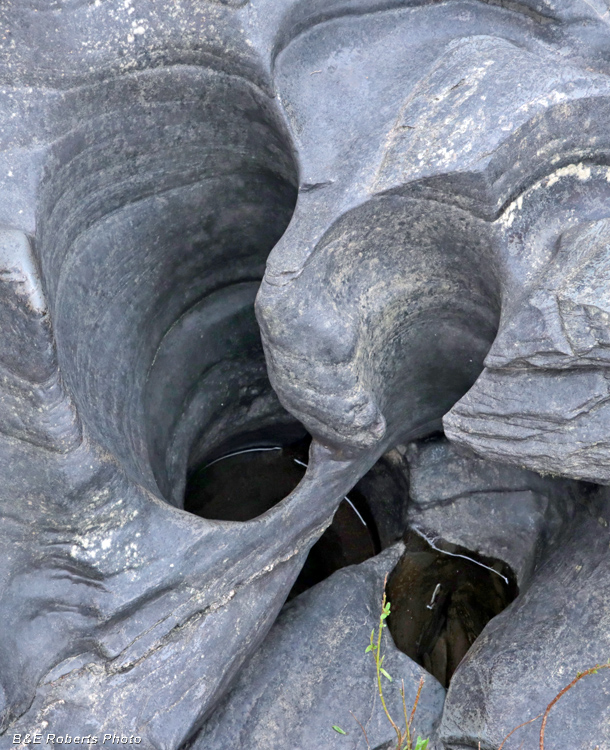
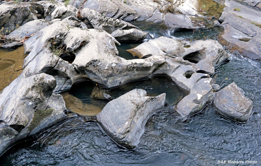
| This rock has been eroded / sculpted into interesting forms. |
|
 |
|
| Ruth's Golden Aster (Pityopsis ruthii), individual flower |
|
 |
|
| Folded and eroded rocks in the river. |
|
 |
|
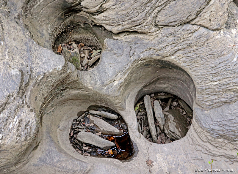
| Pothole trio |
|
 |
|
| Prior to the damming of the river, this bedrock would have been under water. |
|
 |
|
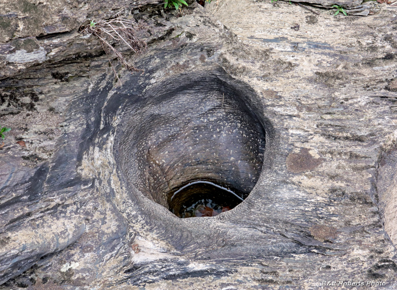
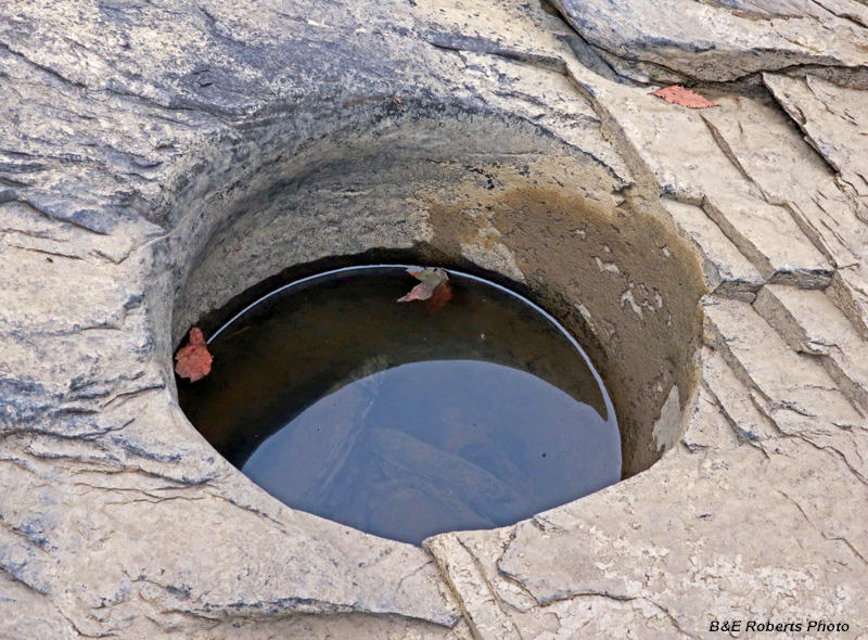
| Pothole |
|
 |
|
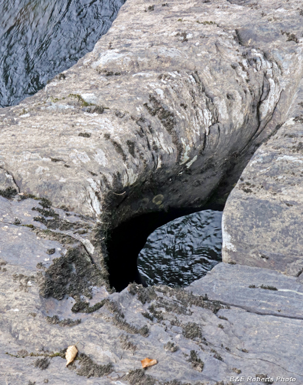
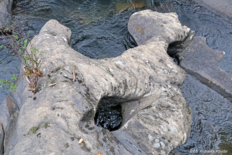
| I came across a few of these water-sculpted arches. |
|
 |
|
| More interesting sculpting of the rock |
|
 |
|
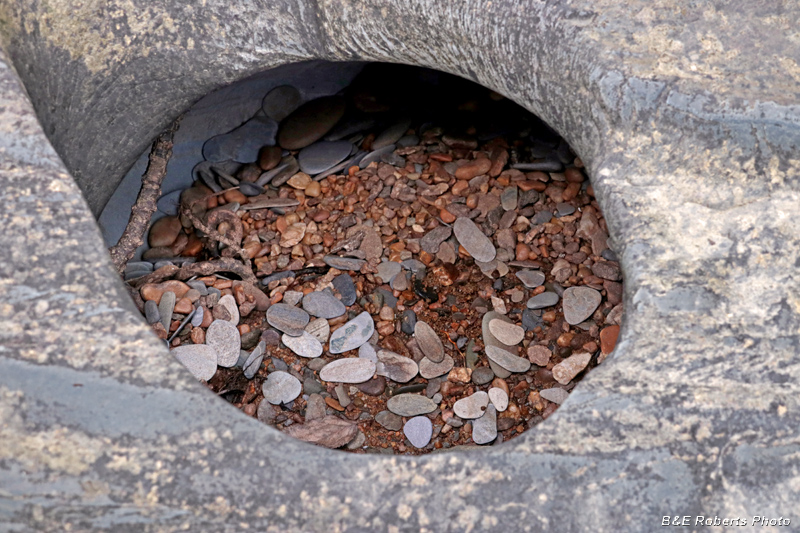
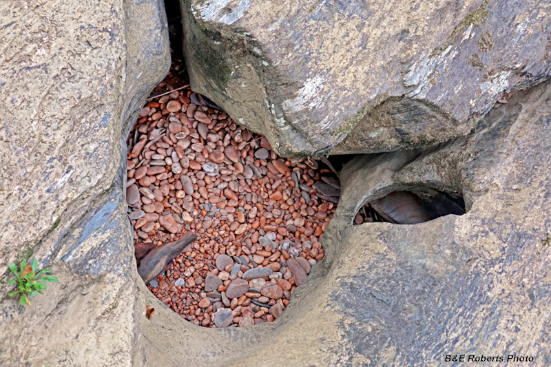
| Pebbles in a pothole |
|
 |
|
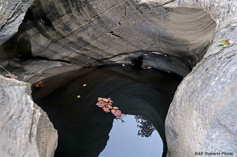
| A water-filled rocky grotto |
|
 |
|
| Water chute cascade |
|
 |
|
| More oddly eroded rock with an arch |
|
 |
|
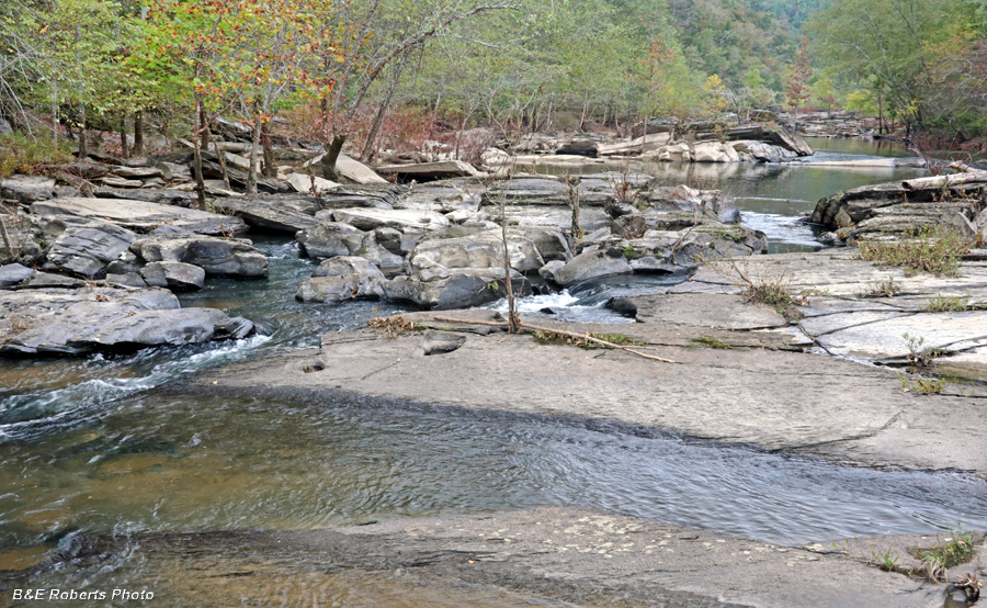
| Another section of river |
|
 |
|
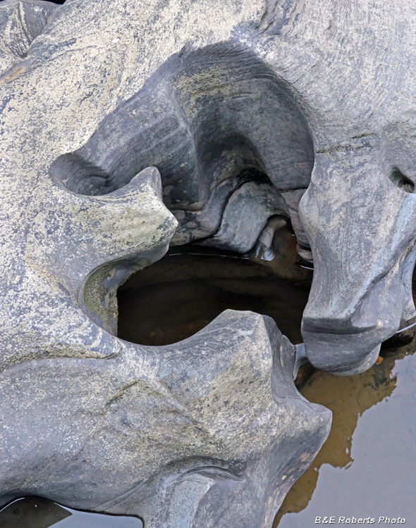
| This hole-arch was a favorite |
|
 |
|
| Another neato water-sculpted rock example |
|
 |
|
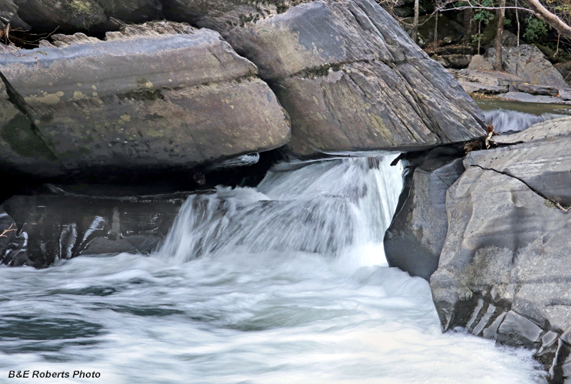
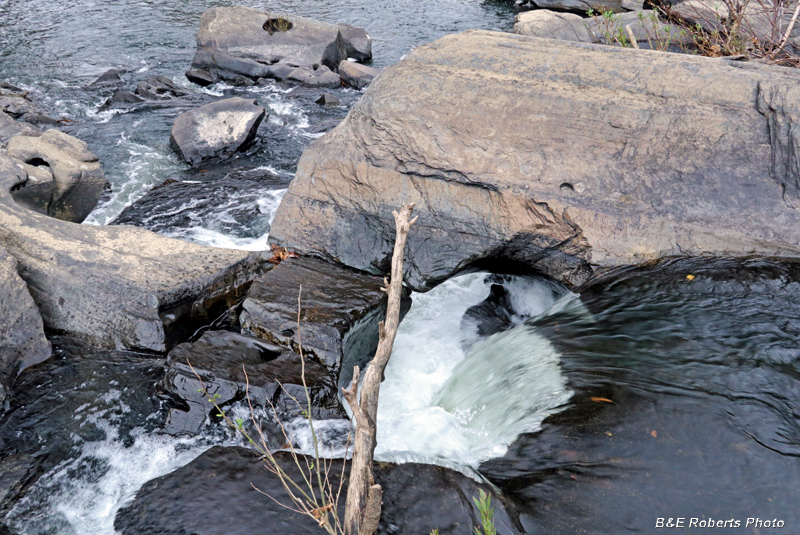
| Small waterfall flowing under a rock ledge |
|
 |
|
| Same waterflow from another angle (above). I just couldn't get a clear shot with that piece of tree trunk in the way... |
|
 |
|
| Another pebbly pothole |
|
 |
|
| And another river view... |
|
 |
|
| Pothole |
|
 |
|
| And a few more cool eroded / sculpted rocks... |
|
 |
|
| One more river view before we leave... |
|
 |
|
| As I mentioned before, I passed lots of cliffy outcrops along the BMT |
|
 |
|
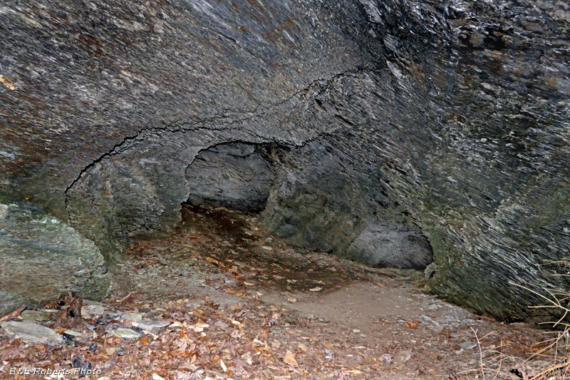
| On my way back, I spotted a dark hole in the rock above the trail. Climbing up, I found a cave that went into the rock about 25 feet. At the rear, two smaller chambers extended off the main chamber. I wondered if this had been mined, but I saw no evidence of any tailings, so I think it is natural. Photo is from inside the cave, using flash and a small spotlight to light the interior. |
|
 |
|
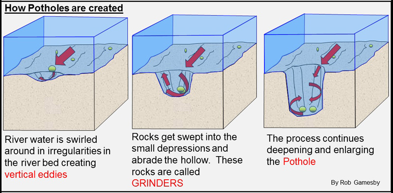
| This graphic shows the (simplified) process of pothole formation... |