| Explorations on Dooley Creek Tributary Union County, GA Dec 2025 / Jan 2026 |
All Text & Images: Copyright (2025-2026) |
| Explorations on Dooley Creek Tributary Union County, GA Dec 2025 / Jan 2026 |
All Text & Images: Copyright (2025-2026) |
| The old maps showed an old home place on Forest Service land off a tributary of Dooley Creek. I started exploring near the head of the creek, but soon ran into a hunter in a blind. After talking with him a bit, I headed downstream, toward a spot that he thought was a homesite. I never did find it, but came across an old flume running down the side of a cove. I crossed the creek on my way back, and came across an old collapsed chimney, with a cellar, as well as some rock-lined walls. |
|
 |
|
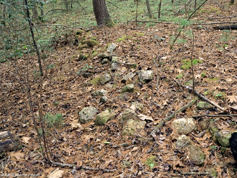
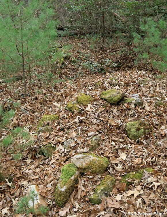
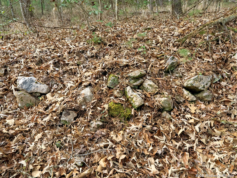
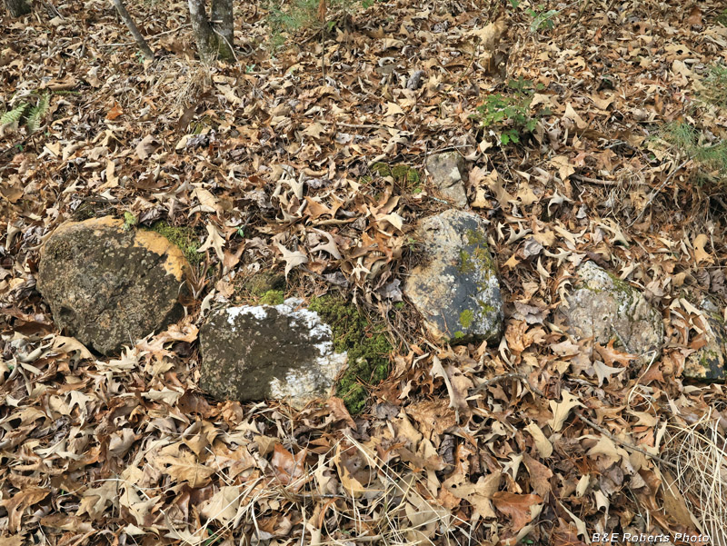
| Up near the head of the creek, I came across some low rock walls. |
|
 |
|
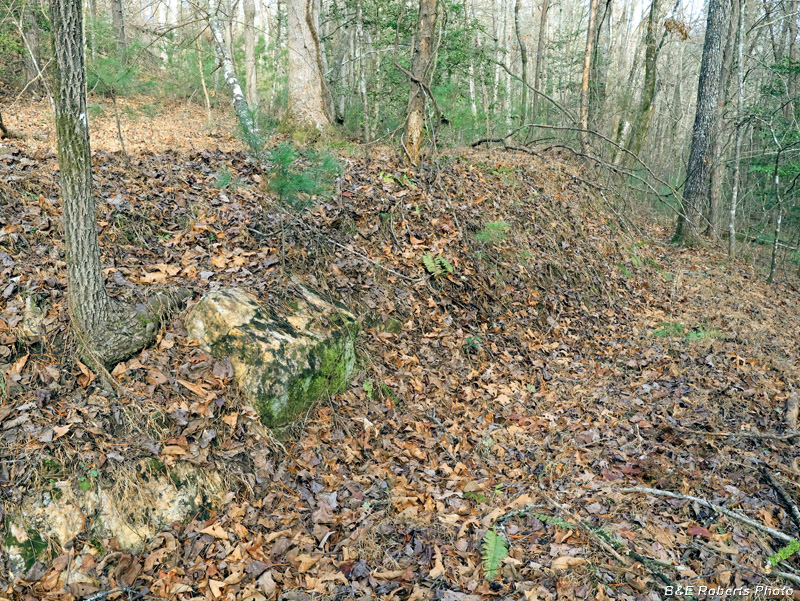
| Another rock wall, but no sign of a home place. |
|
 |
|
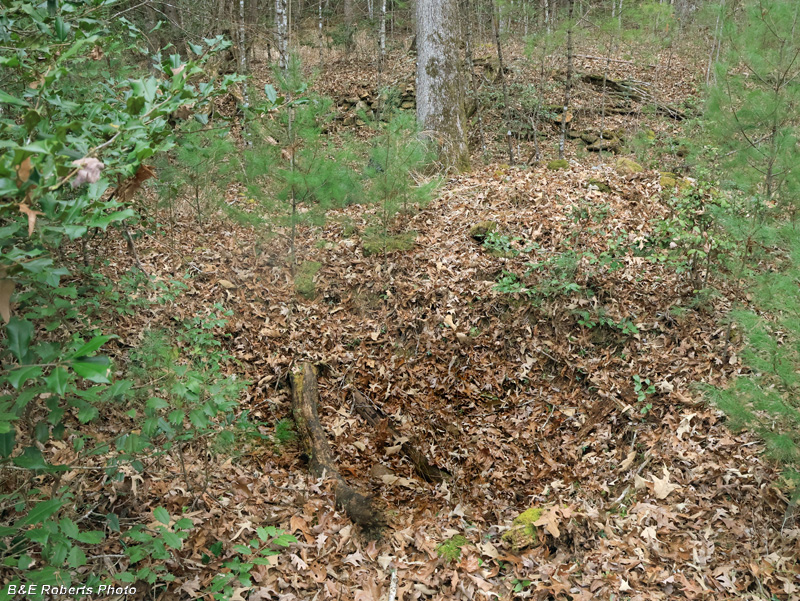
| It's hard to see in this image, but this is a circular pit about 16 feet in diameter and 8 feet deep. There is a "rim" of earth on the far side that was dug out of the hole. Probably an old mine prospect; this is an area known for kyanite, although I didn't see any other signs of mining in the vicinity. |
|
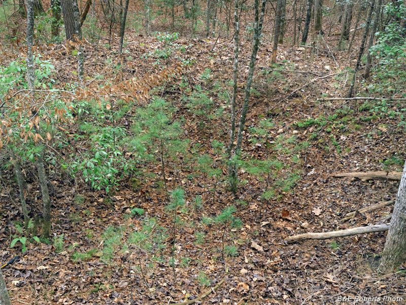
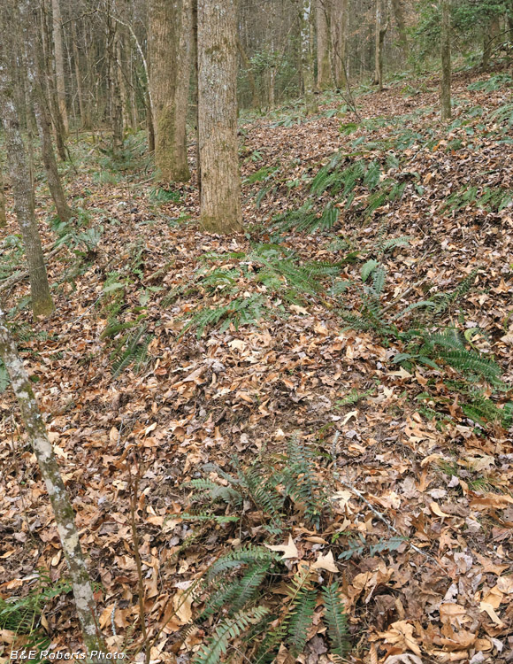
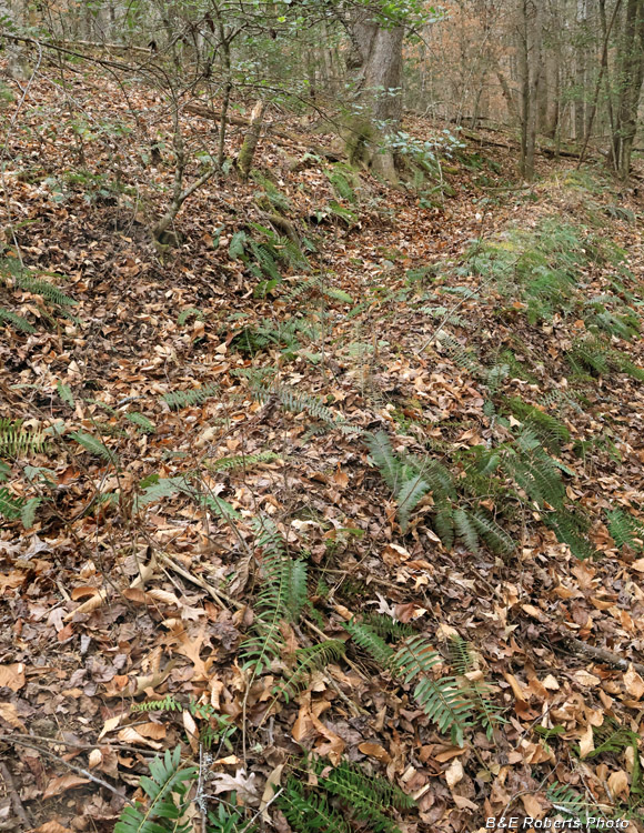
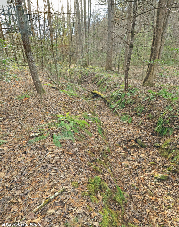
| Walking up a cove, I glanced to the side and saw what appeared to be a flume. The old water ditches, or flumes, found in the north Georgia mountains were often built for hydraulic gold mining in the early-mid 1800s, although shorter ones were also used for water-powered mills and irrigation. These hand-dug ditches followed the contour of the land, utilizing a slight elevation change to allow the flow of water through gravity. This one begins as a diversion from the head of a small creek branch, then parallels the creek for a ways downstream until veering off near the bottomland of the main creek. At first I thought it might be a mill flume, but I could find no signs of any old structure at the main creek. There is a large flat area between the end of the ditch and the main creek, so I'm guessing this was for irrigation. The ditch was originally about 2 1/2 feet wide by 2 feet deep, but is now much filled in with a century's worth of leaf fall. |
|
 |
|
| Upper end of the flume. The water was diverted from the branch which is just out of the frame on the right. |
|
 |
|
| Further down... |
|
 |
|
| Looking back "upstream"... |
|
 |
|
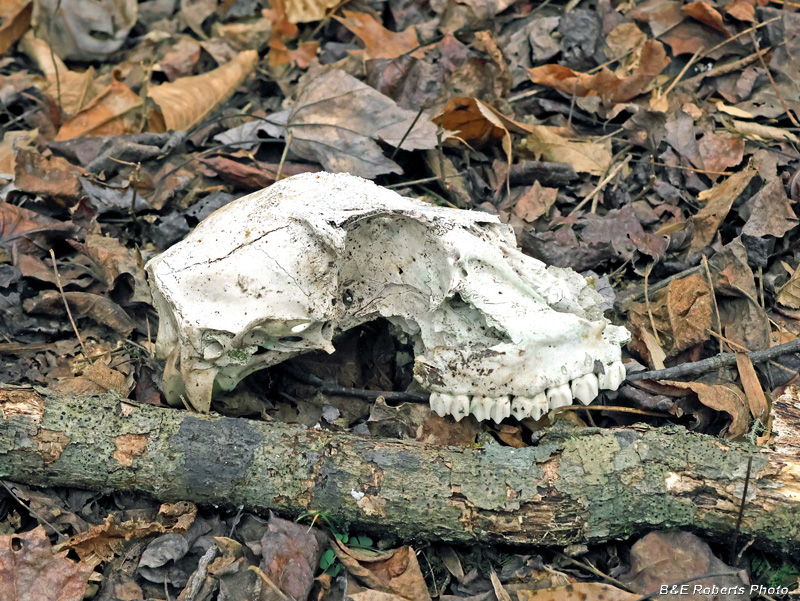
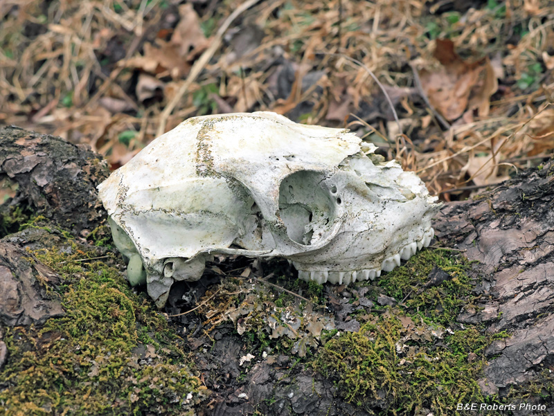
| I saw an old deer skull on the cove floor. |
|
 |
|
| Continuing to follow the flume downstream. In the distance you can just see where the flume drops down to the flat area at creek level. |
|
 |
|
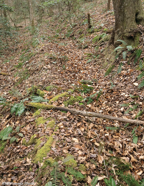
| One final view looking back up the side of the cove. |
|
 |
|
| I hadn't found any signs of a homesite on this side of the creek, so I crossed to explore the other side. I found another deer skull over there. |
|
 |
|
| Coming up to a flat spot, I noticed a rock wall up ahead. |
|
 |
|
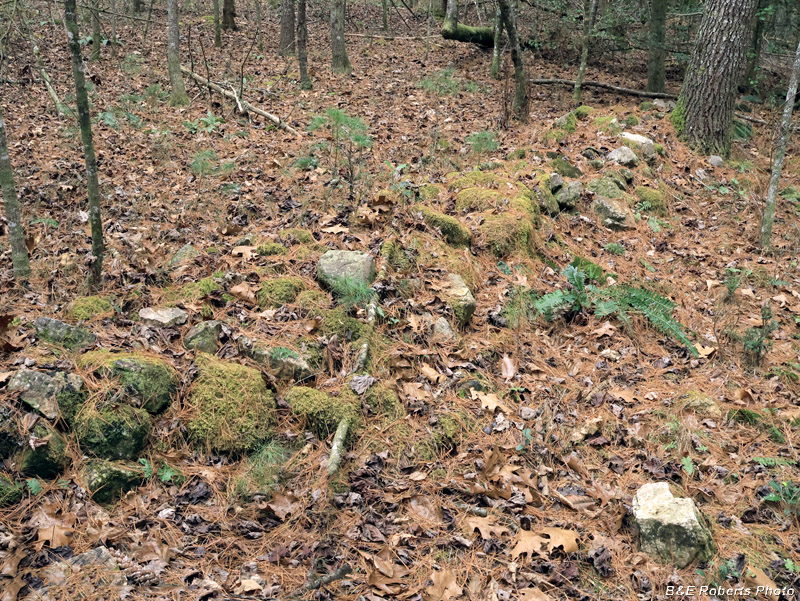
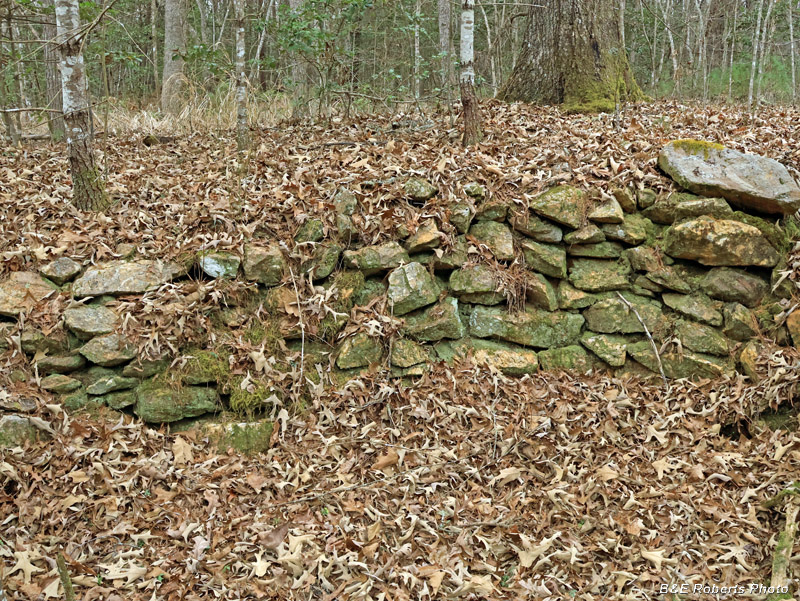
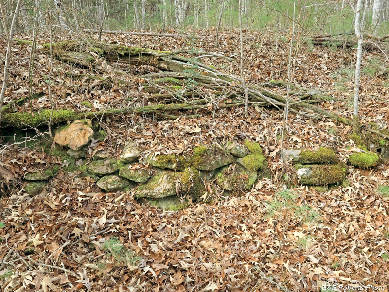
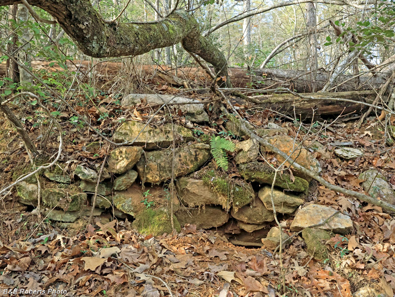
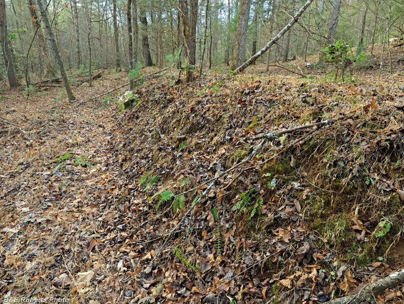
| Approaching the wall, I turned around and saw a long- collapsed stone chimney, with a dug cellar behind it. |
|
 |
|
| Homesite UN57 The dug cellar can be seen better from the opposite side. Rocks from the collapsed chimney are behind it to the right, and the rock wall can be seen in the back. Being the day after Christmas, darkness was approaching, so I didn't have time for any more explorations this day. |
|
| Three weeks later, I decided to revisit this spot for some more exploring, since I hadn't covered all the area. I didn't find any additional house sites, but saw lots more evidence of the farming that took place there. |
|
 |
|
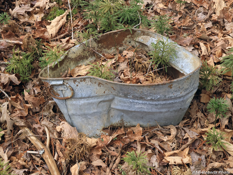
| I wasn't finding much, so I headed back toward the homesite I'd found on my earlier visit. I came across this galvanized tub in a flat area that looked like it had been shaped by man. |
|
 |
|
| The flat area appeared to have a terrace at the uphill end. |
|
 |
|
| Looking sideways along the terrace step. The step in the levels ranged from 3-4 feet high. |
|
 |
|
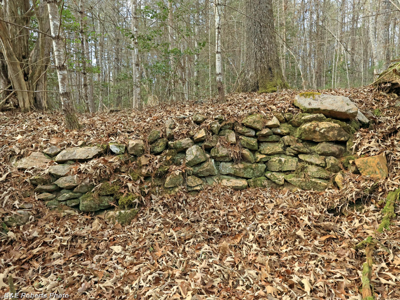
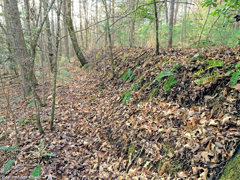
| Reaching the homesite, I realized that the wall I had seen before was actually another terrace, lined with stone. |
|
 |
|
| This terrace had varying amounts of stone facing along its length. |
|
 |
|
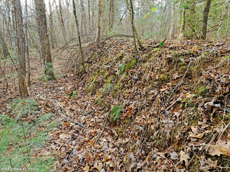
| Another section of the same terrace with limited rock facing. |
|
 |
|
| Another section, near the end... |
|
 |
|
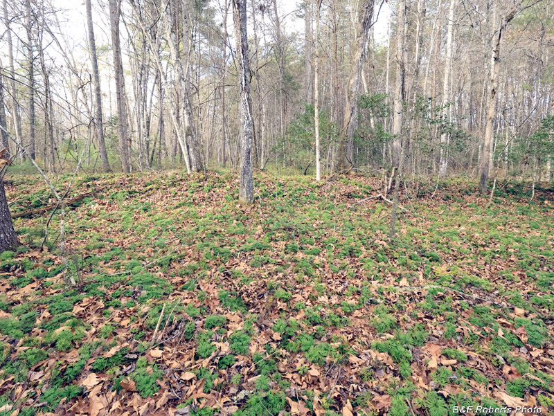
| As I wandered around more, I came across more terraces. This view is looking down from the upper edge of one. |
|
 |
|
| More terraces... |
|
 |
|
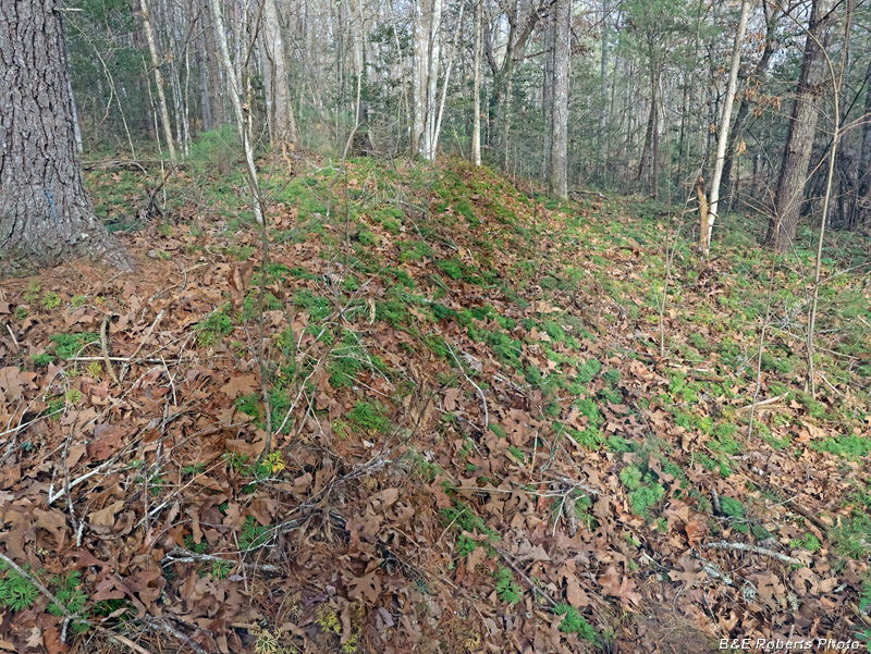
| A tree had fallen on this section of terrace. I couldn't determine why some areas of the terrace steps were lined with rocks, while most were earth. Maybe they just used nearby rocks as they became available. |
|
 |
|
| Some of the terraces were 6-7 feet tall! |
|
 |
|
| A couple more examples of the terraces... |
|
 |
|
| Final terrace wall. |
|
 |
|
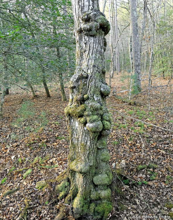
| A "burly" tree I can almost see a couple of faces here... |
|
 |
|
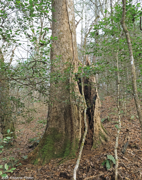
| This big tulip poplar had originally split into two trunks at about the seven foot level. One of the trunks has died and dropped off a long time ago. |
|
 |
|
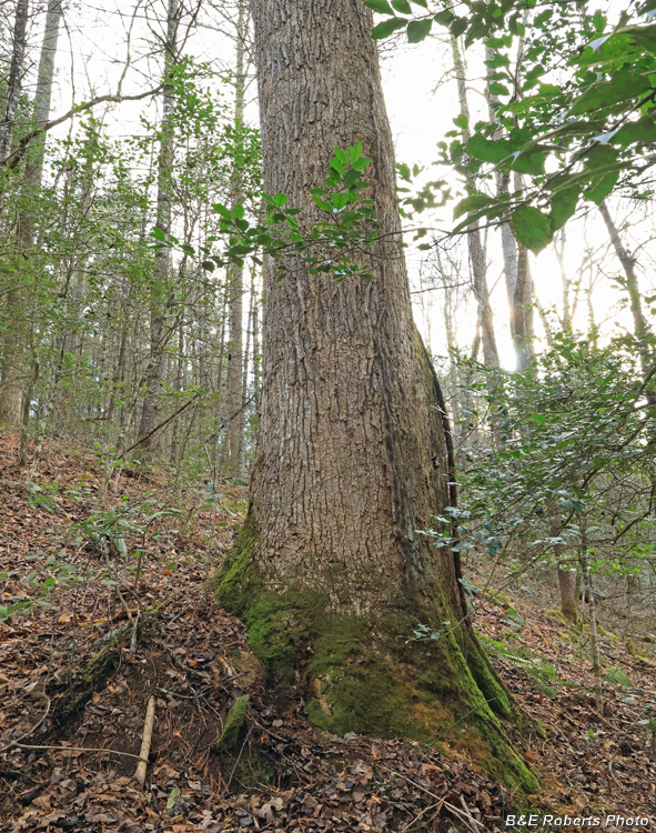
| This tree measured 176 inches around at breast height. That comes out to 56 inches dbh, almost 5 feet diameter. |
|
 |
|
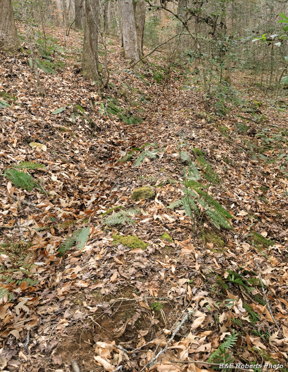
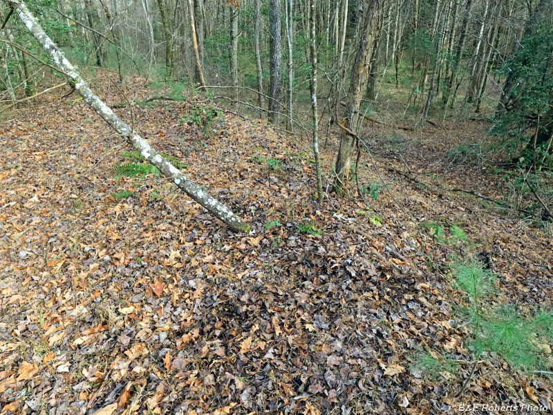
| The upper end of the main tributary, now dry from the drought, almost looks like it was dug out by man. |