| Old Field Mine Gumlog Vicinity, Towns County, GA |
All Text & Images: Copyright (2026) |
| Old Field Mine Gumlog Vicinity, Towns County, GA |
All Text & Images: Copyright (2026) |
| Known locally as the "Old Field," considerable prospecting work was done here as early as 1869. Due to favorable surface indications, work was conducted on the property until the turn of the century. Numerous shafts and pits, varying from ten to fifty feet in depth, with a number of short tunnels, were made to locate the vein, but the prospecting was only partly successful. At only a few places, was the vein located, and here it was too small and barren to be worked with profit. The lack of sufficient water to operate these prospects ultimately resulted in the lack of further development. I had located this mine prospect on LIDAR a few years ago, but had approached from the wrong direction and couldn't get permission to access the property. This time Sheldon and I had permission from the property owner, and readily found the site. February 2026 |
|
 |
|
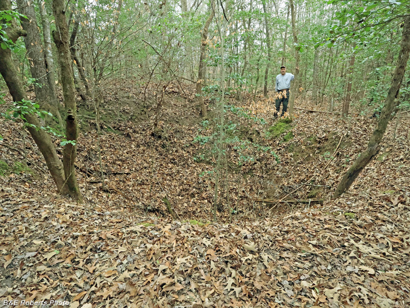
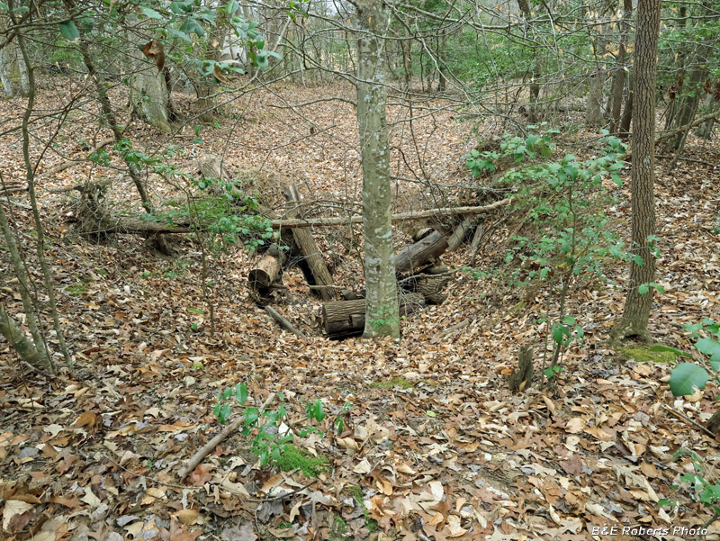
| One of three slumped mine shafts that are still visible |
|
 |
|
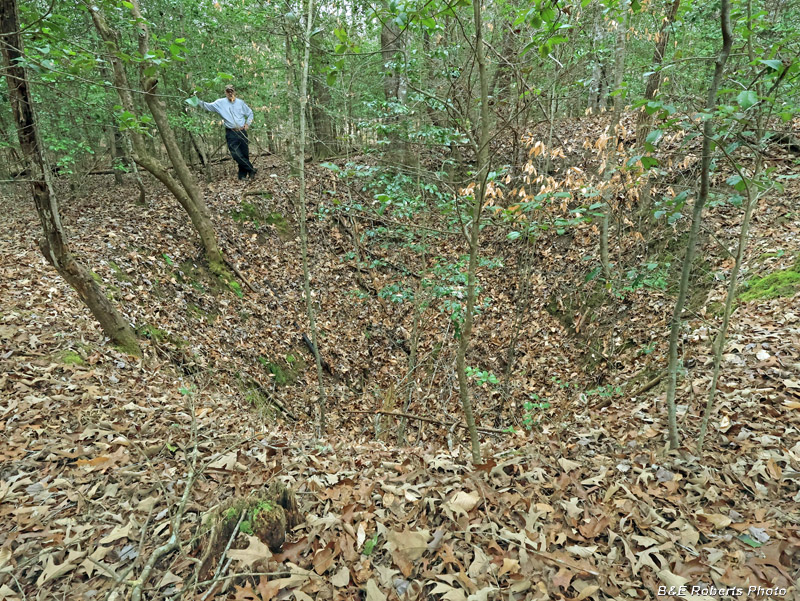
| Shaft 1 from another angle |
|
 |
|
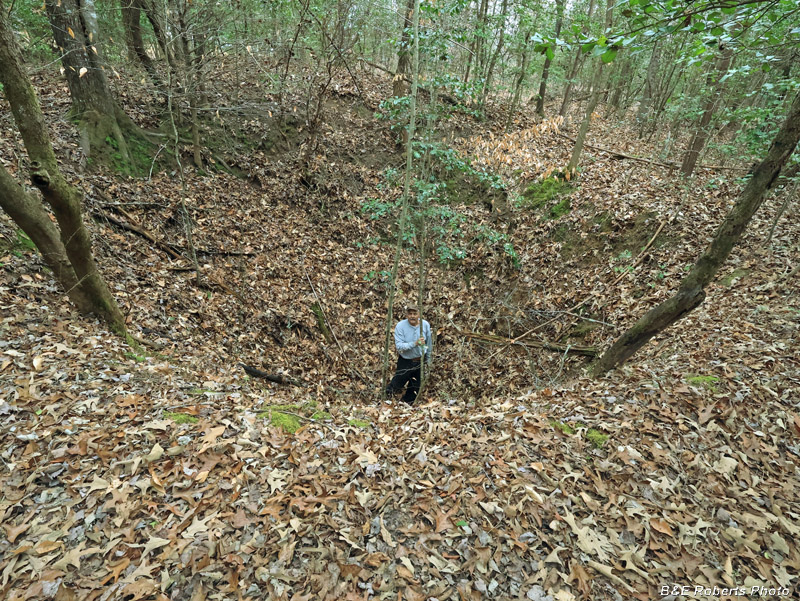
| Sheldon in Shaft 1, for scale Even after 130-140 years, this shaft is still 20 feet deep. |
|
 |
|
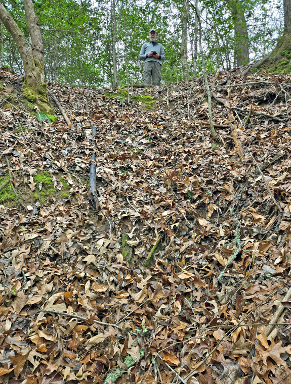
| Sheldon took this photo of me from the bottom of the shaft-pit. |
|
 |
|
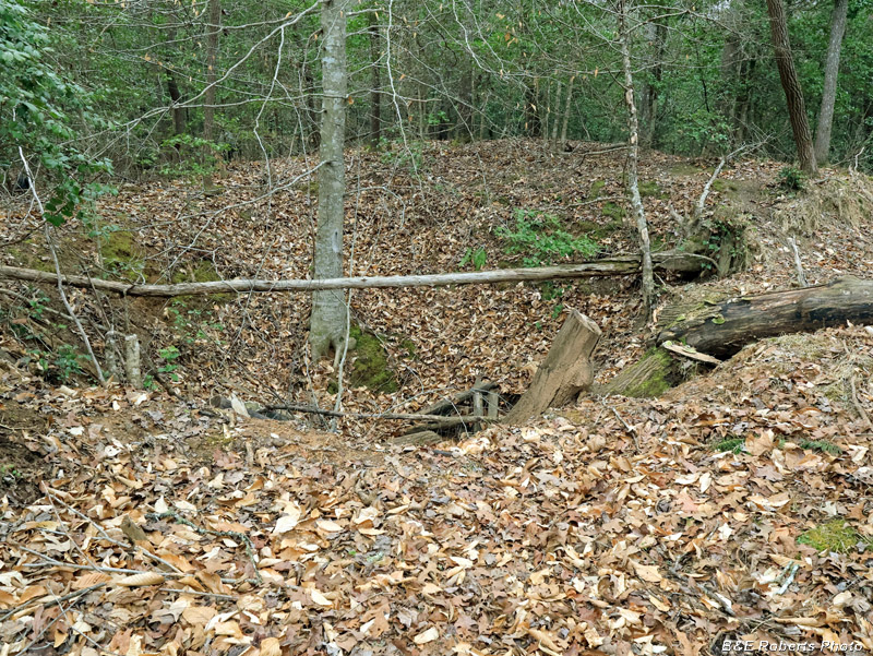
| Shaft 2, filled with timber debris. |
|
 |
|
| Shaft 2, from the opposite side. |
|
 |
|
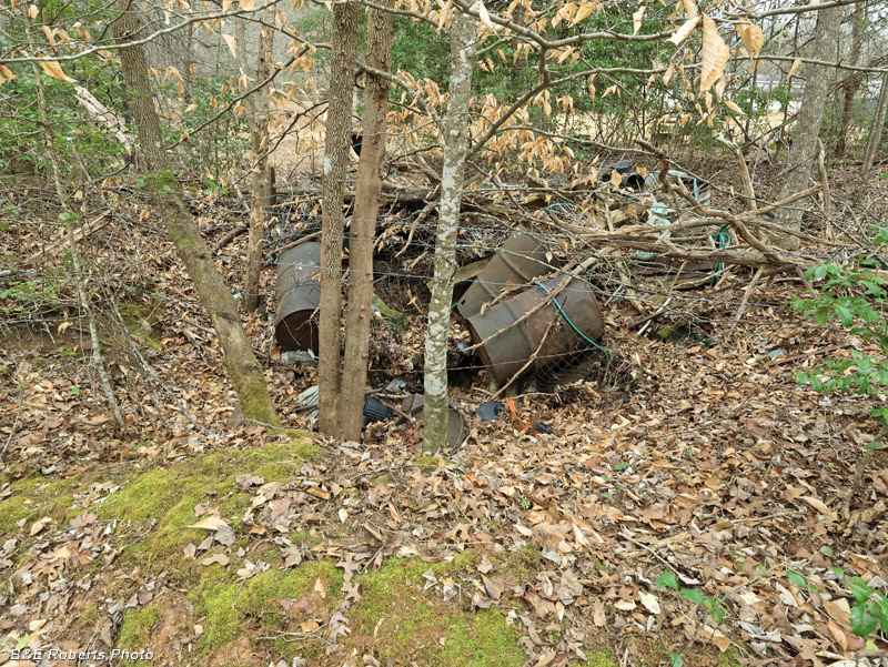
| Shaft 3, just beyond the current property line, was a mess. It looks like it's been used as a dump for decades. |