| Tripp Gap Mica Prospect Towns County, GA |
All Text & Images: Copyright (2025) |
| Tripp Gap Mica Prospect Towns County, GA |
All Text & Images: Copyright (2025) |
| While looking for a landform on LIDAR, I noticed what appeared to be a mine indication. None of the old geology reports mentioned anything here, but I decided to check it out. Sure enough, it turned out to be a mica prospect up on a mountainside. I later found a reference to this prospect as the Tripp Gap Prospect. |
|
 |
|
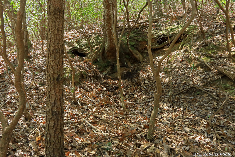
| Mine cut The reference that I found said that a Geologic team had failed to find this prospect during a 1951 survey. Probably because it's not at Tripp Gap! |
|
 |
|
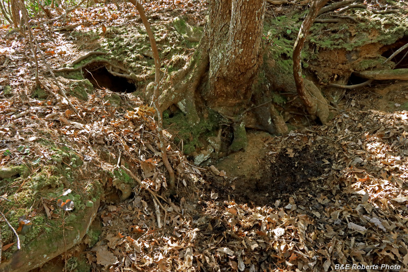
| A tree, with many roots, has grown at the head of the cut. From the size of the waste dump, I hoped there might be a tunnel here, but if there was, the tree and roots have slumped down over the portal. You can see cavities behind there on either side. |
|
 |
|
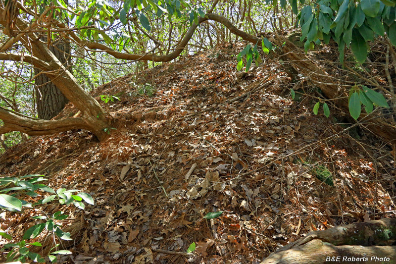
| A pretty large dump pile for a relatively small open cut. I still think there's more excavation behind that tree & roots... |
|
 |
|
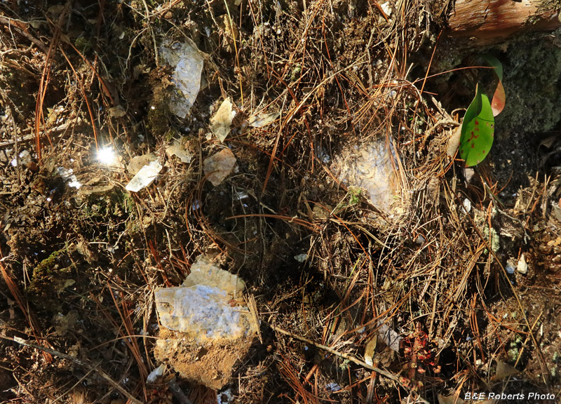
| Mica sheets on the waste dump. |