| The Uncompleted Blue Ridge Railroad - 4 Rabun County, GA |
All Text & Images: Copyright (2020) |
| The Uncompleted Blue Ridge Railroad - 4 Rabun County, GA |
All Text & Images: Copyright (2020) |
| December - My fourth expedition exploring the old railroad grade... One thing becomes evident in exploring the remains of the Blue Ridge Railroad - these railroad investors built for the ages, with seemingly unlimited capital. The massive piers and culverts of stone, the tunnels, the long cuts and fills built in the rugged hills. No rickety wooden trusses for the Blue Ridge RR! It's no wonder that the project went bankrupt before completion... 1. Additional segments along a north-flowing tributary of Warwoman Creek: |
|
 |
|
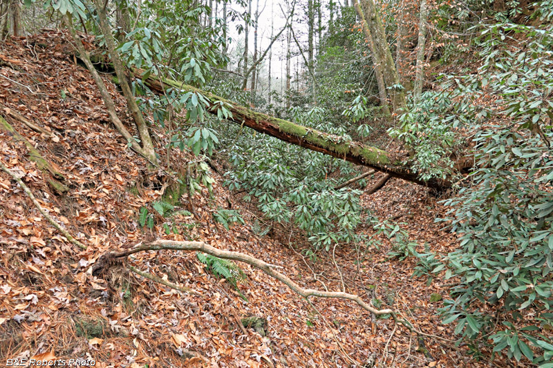
| This grown-over cut leads to a fill area crossing the tributary. |
|
 |
|
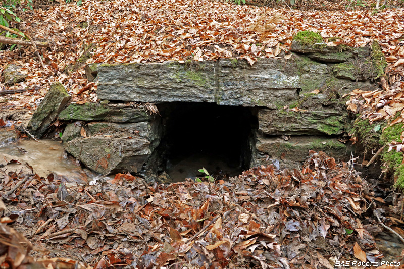
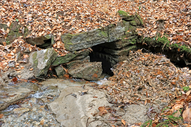
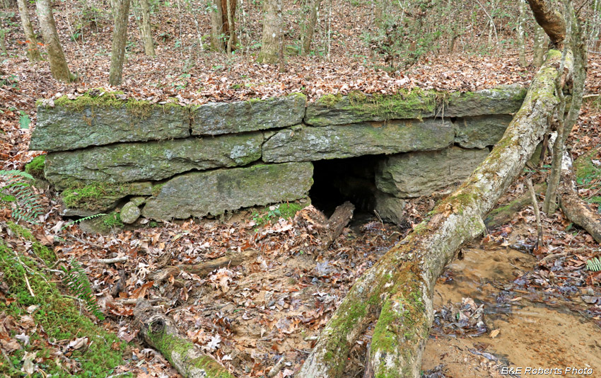
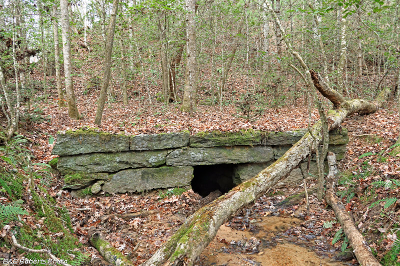
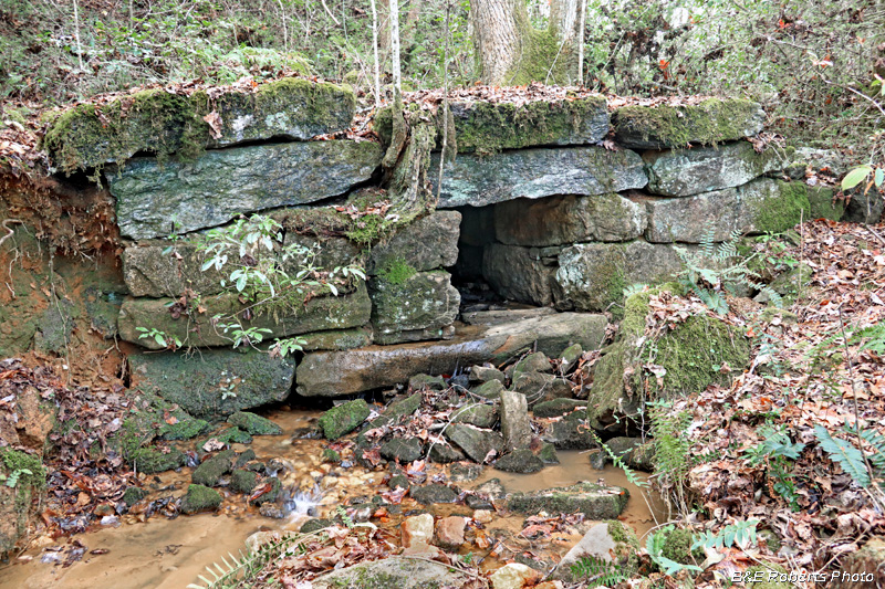
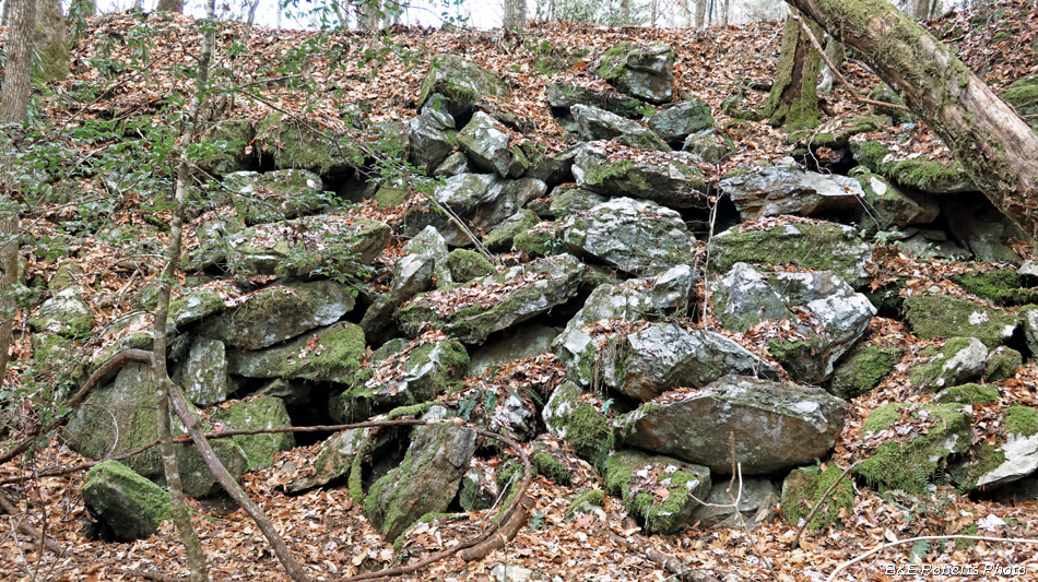
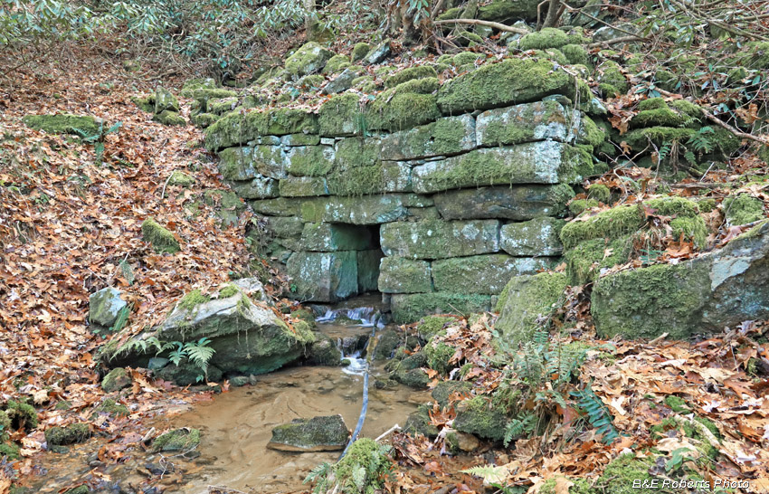
| Stone culvert on a tributary of Warwoman Creek; south end |
|
 |
|
| Same culvert, with the RR grade over the creek seen angling off at upper part of image. |
|
 |
|
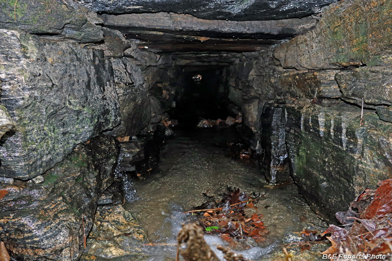
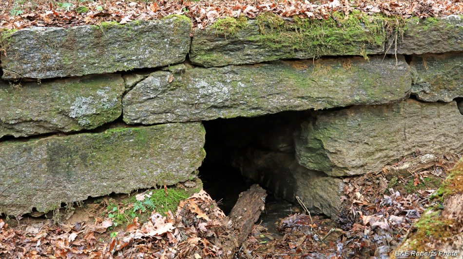
| View through the culvert. |
|
 |
|
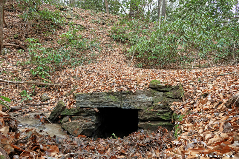
| Another angle on the culvert mouth. These photos were taken after I'd hauled a bunch of branches, sticks and debris out of the clogged opening. |
|
 |
|
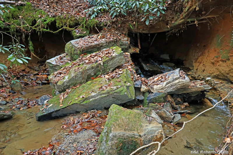
| Unfortunately, the opposite (north) end of the culvert has been washed out and collapsed. |
|
 |
|
| Collapsed mouth of the culvert's north end, from another angle. |
|
| 2. Back last winter, I had explored the most easterly sections of the BRRR railroad route. I'd gone in from the west, near "Dick's Creek culvert", covering about half of that section. On today's exploration, I intended to explore the other half, coming from the eastern end. |
|
 |
|
| I started from this culvert off Sandy Ford Rd, pictured in my previous (BRRR-3) album. |
|
 |
|
| Following along a series of unfinished cuts and fills, I came across an incomplete culvert. |
|
 |
|
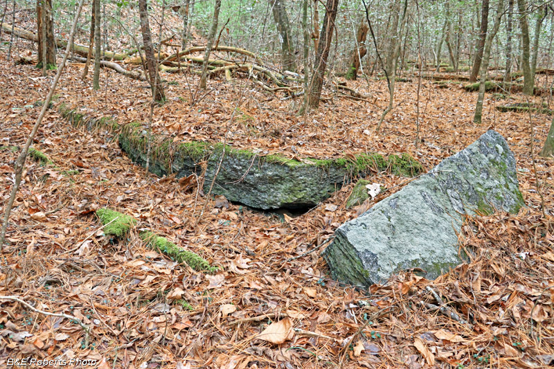
| The culvert, in a low area between two grade fills, appears to have been in the early stages of construction. |
|
 |
|
| A large rectangular cut stone, adjacent to the partially built culvert. |
|
 |
|
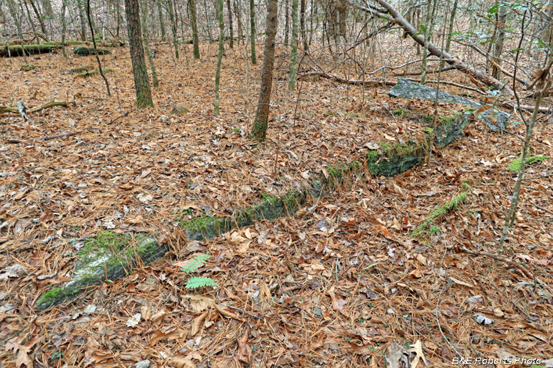
| An example of one of the RR bed's elevated fill (or raised berm) areas. |
|
 |
|
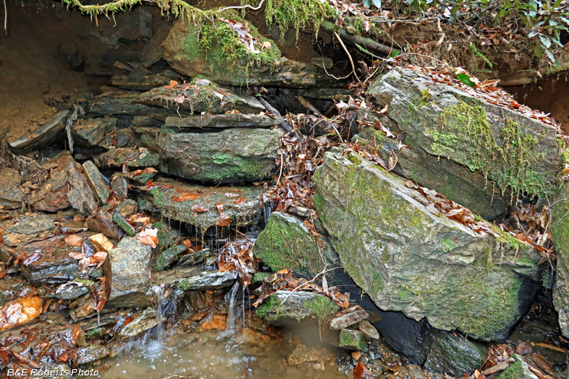
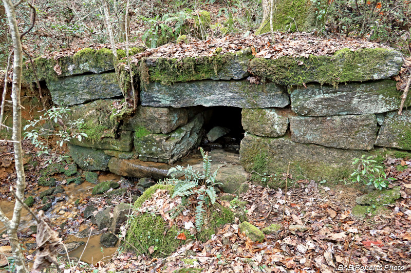
| The next drainage I came to had another nice stone culvert to carry the water under the RR grade. |
|
 |
|
| This being the southern end of the culvert... |
|
 |
|
| A wider view of the culvert reveals the raised / filled railroad grade in the background. A gap in the filled grade, which was a couple hundred feet in length, is visible on the left side. |
|
 |
|
| On the opposite side of the RR grade is the northern mouth of the culvert. |
|
 |
|
| North end, seen from a different angle... |
|
 |
|
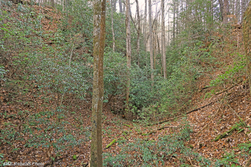
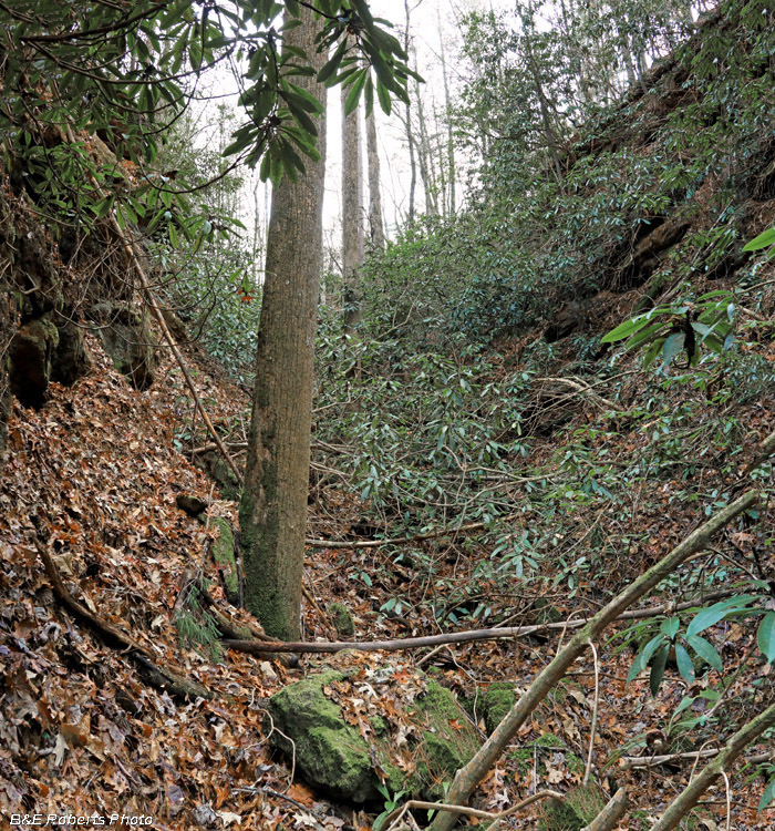
| Another "cut" area of the railroad bed Pretty grown up with vegetation after 160 years... |
|
 |
|
| From down in the same cut, looking in the opposite direction. This cut abruptly ends here, and picks up again 100 yards further on... |
|
 |
|
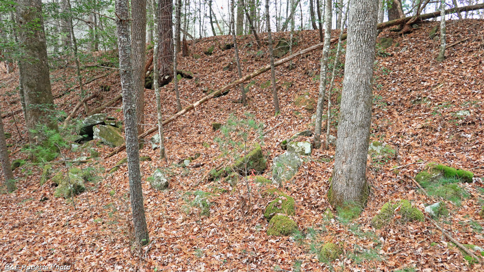
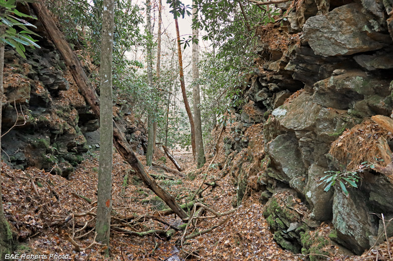
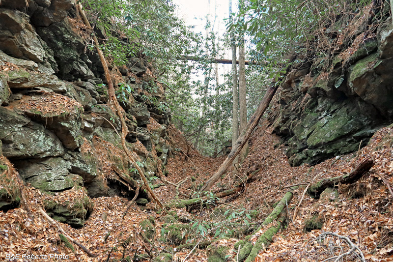
| While most of the cuts are through dirt / soil, some had to be cut through rock. |
|
 |
|
| The stone that was taken from the rocky cut areas was then used for fill to build the lower areas up to grade. The level surface of the RR grade is visible here at the top of the image. |
|
 |
|
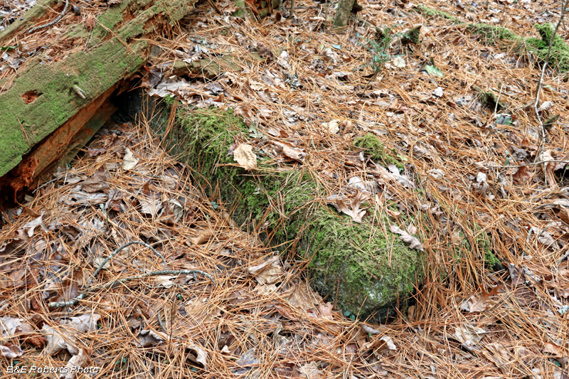
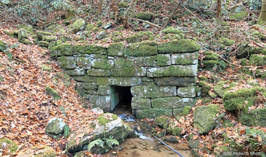
| This nice culvert was found at the next major drainage (another small tributary of Dick's Crk). It's on the north side of the RR grade; the southern end of the culvert was silted in and the stonework was not visible... |
|
 |
|
| A closer view of this culvert, over 160 years old! |
|
 |
|
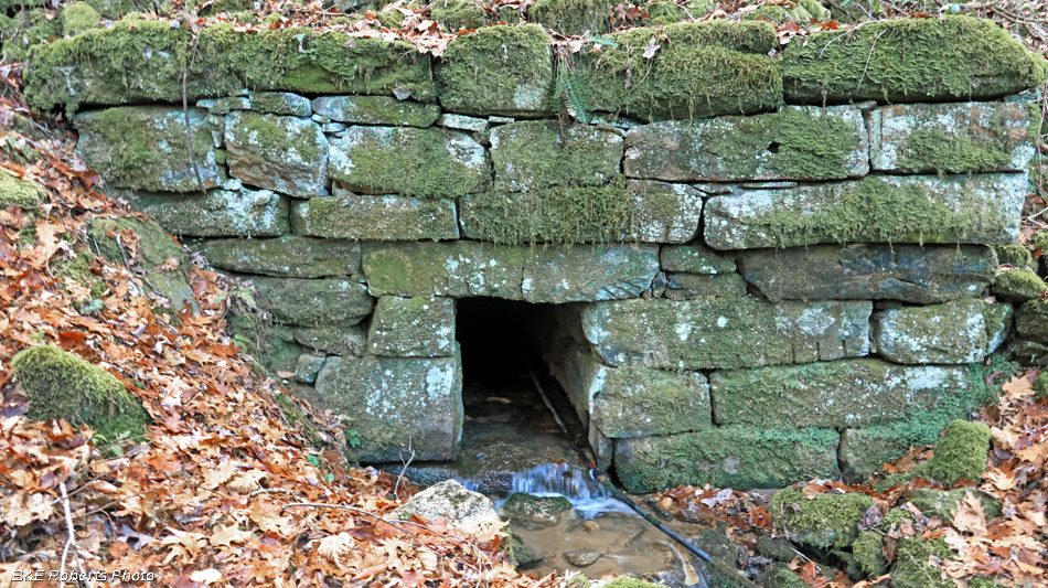
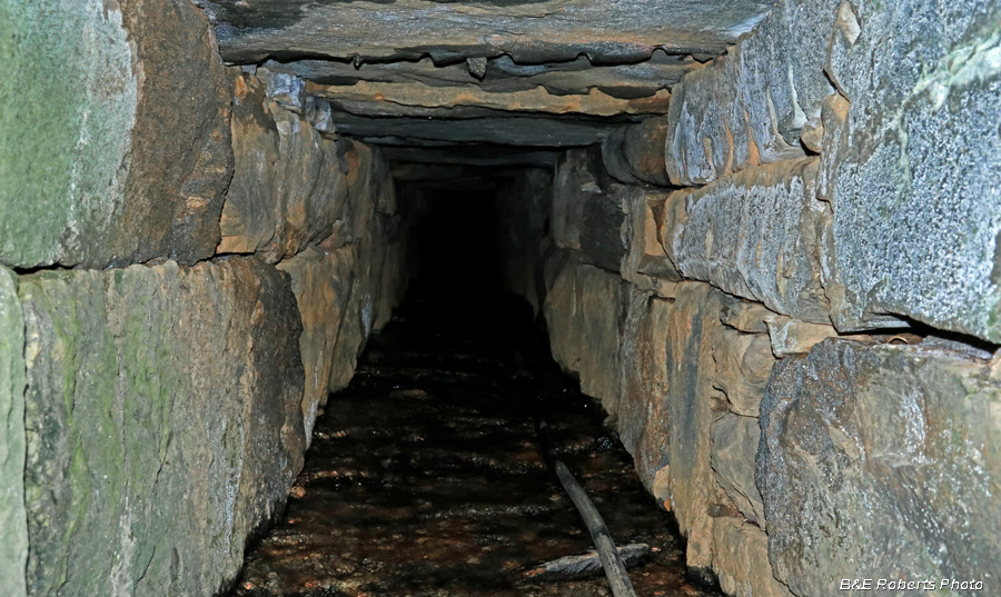
| View inside the culvert... |
|
 |
|
| From one more angle... |
|
 |
|
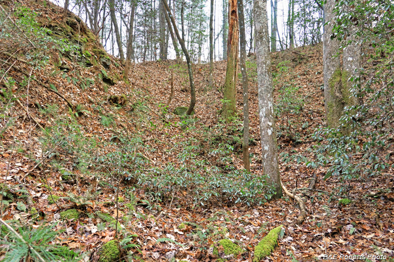
| After 160 years, many sections of the cuts are like a jungle to walk through. |
|
 |
|
| Another cut through a rocky ridge... |
|
 |
|
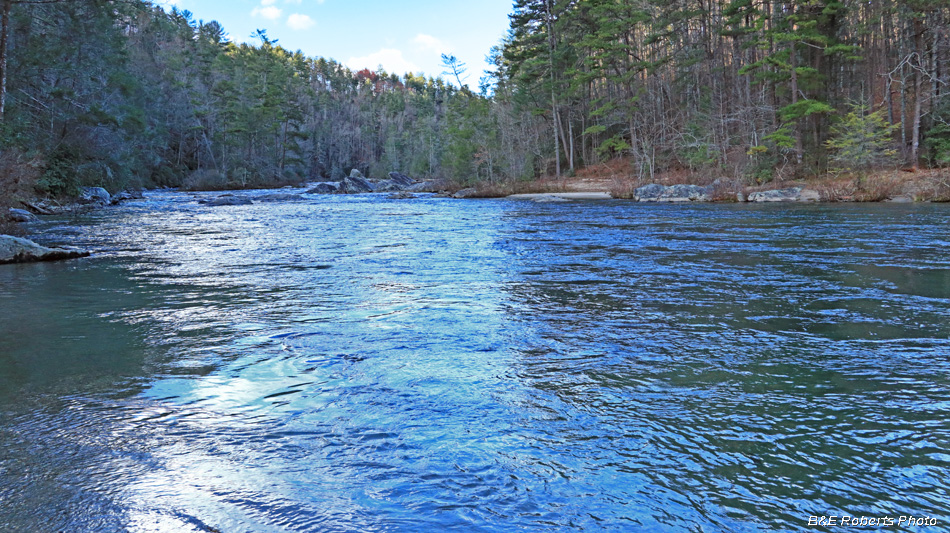
| Chattooga River from Sandy Ford Since I was so close, I decided to go down to the ford before going to my last site. |
|
| 3. Along Stekoa Creek, between Clayton and Mountain City: |
|
 |
|
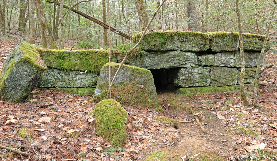
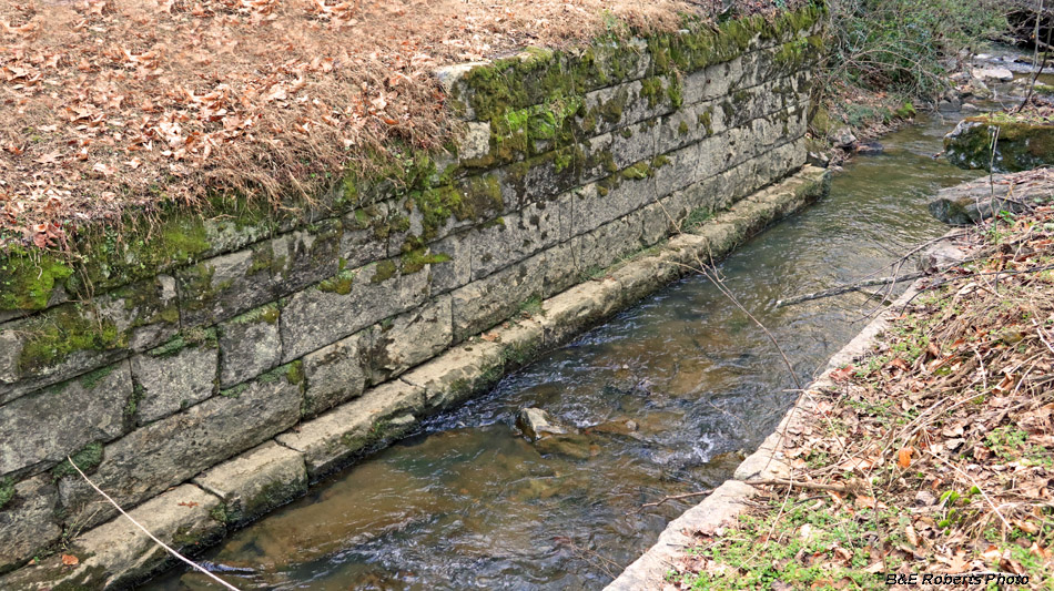
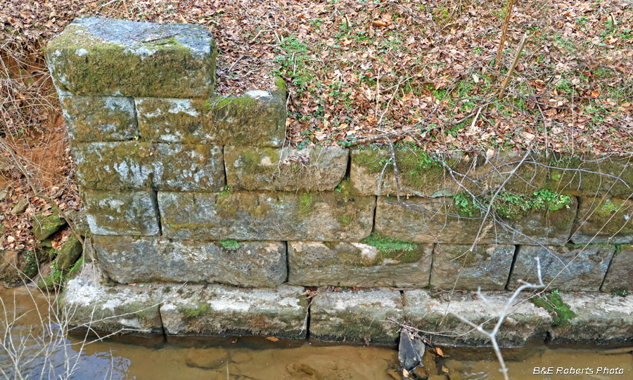
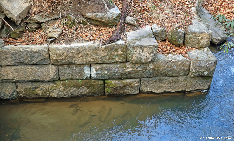
| This large open culvert would have eventually had an arched stone or brick roof... |
|
 |
|
| SW end of the culvert |
|
 |
|
| Upon the culvert's completion, the BRRR would have crossed Stekoa Creek here on a high fill. |
|
 |
|
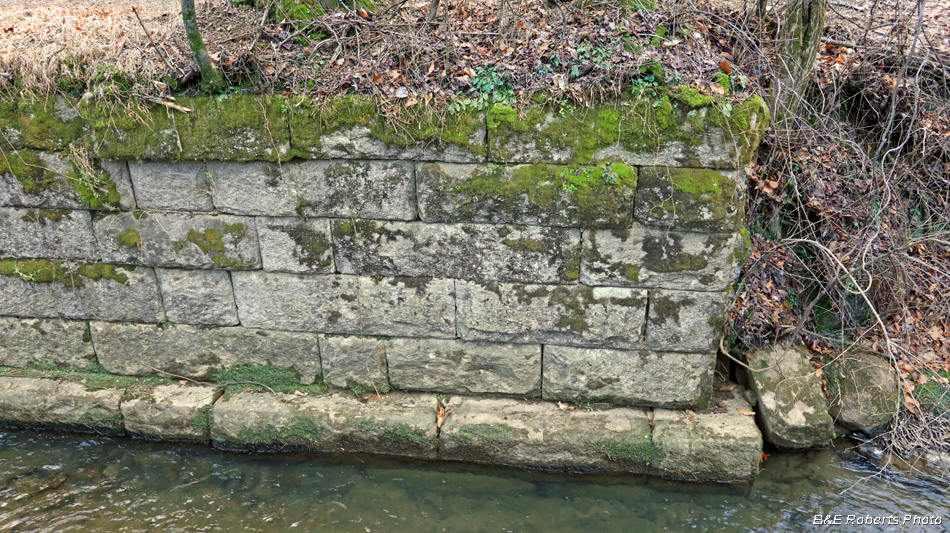
| Opposite end of the culvert |
| Blue Ridge RR Index | Warwoman-Rabun Index |
| NE GA - NC Index | SE USA Index |