| Childs Gold Mine aka the Jarrett Property, off Bean Creek White County, GA |
All Text & Images: Copyright (2024) |
| Childs Gold Mine aka the Jarrett Property, off Bean Creek White County, GA |
All Text & Images: Copyright (2024) |
| The Childs Mine embraced several Land Lots, the most important mining being on LLs 23 & 24, 3rd District. Large hydraulic cuts were made on this property, with adits extending from the bottom of one cut. Most of the mining, however, was centered on the placer ground along a tributary to Bean Creek. Near the head of the southern fork, an adit entered the hillside in a NW direction. About 20 feet beyond the entrance, a 24" quartz vein was intercepted, and drifts were extended NE and SW along the vein for 20-30 feet in each direction. Trenching and pitting related to this vein occur on the surface NE of the adit. |
|
 |
|
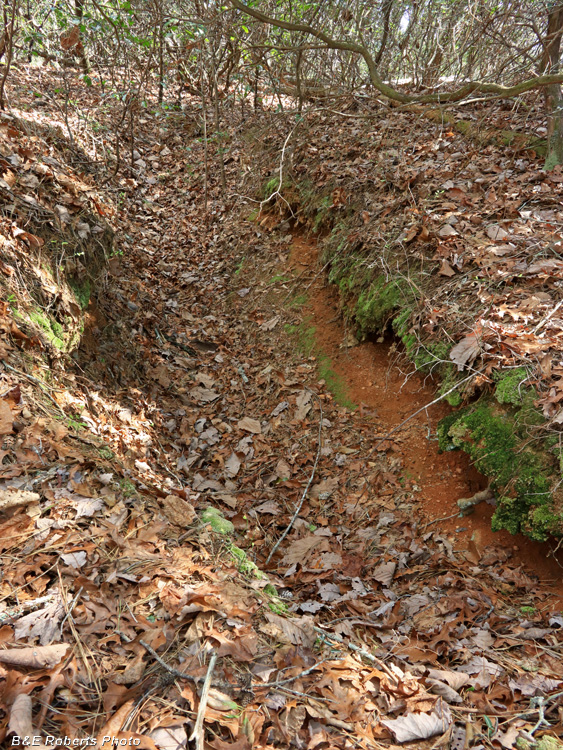
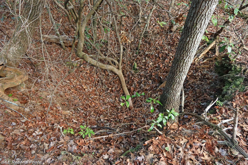
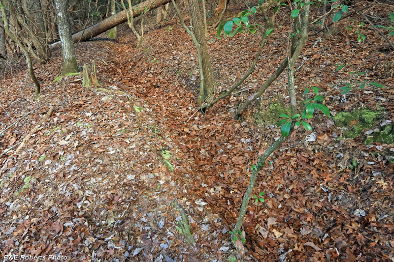
| Trench on opposite slope as I approached the adit. |
|
 |
|
| Approaching the Childs Mine adit |
|
 |
|
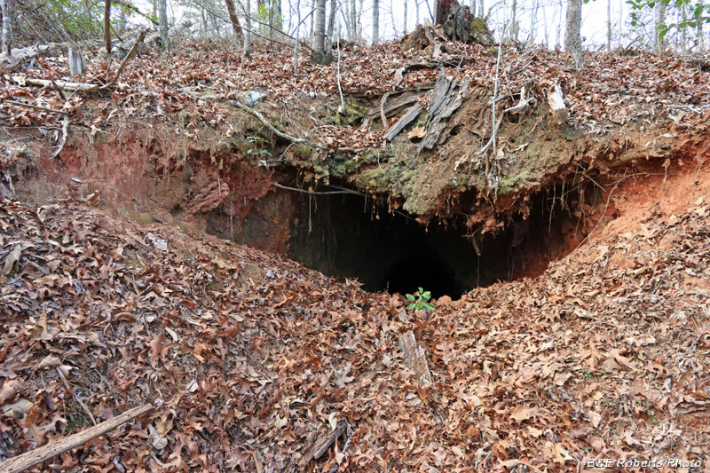
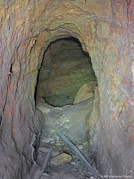
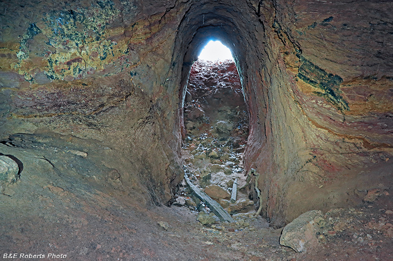
| Partially slumped mouth of the adit at the Childs Mine property. |
|
 |
|
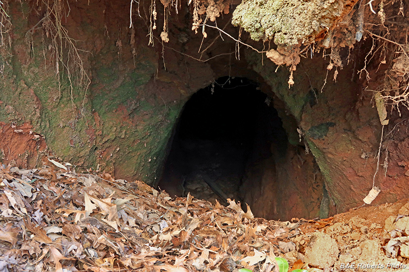
| Peering down the hole |
|
 |
|
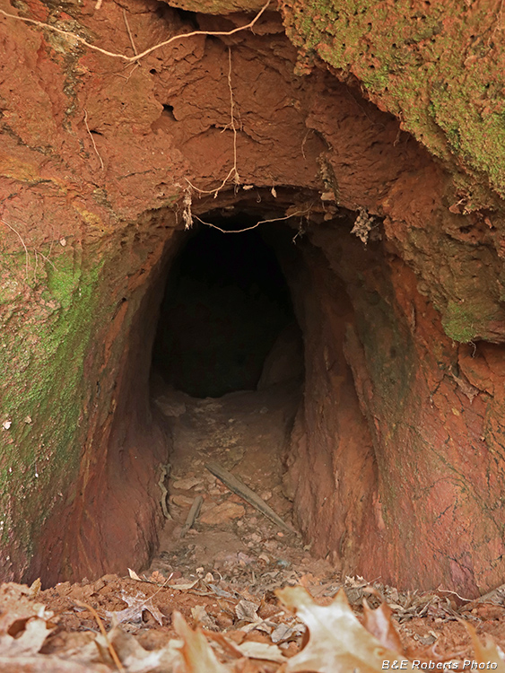
| Climbing down over the slump, I entered the adit. |
|
 |
|
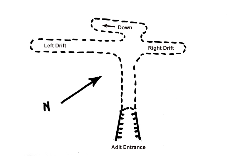
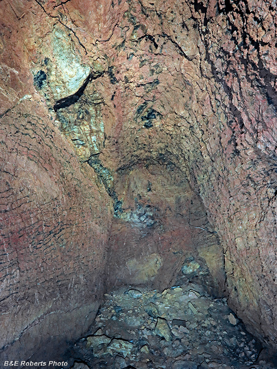
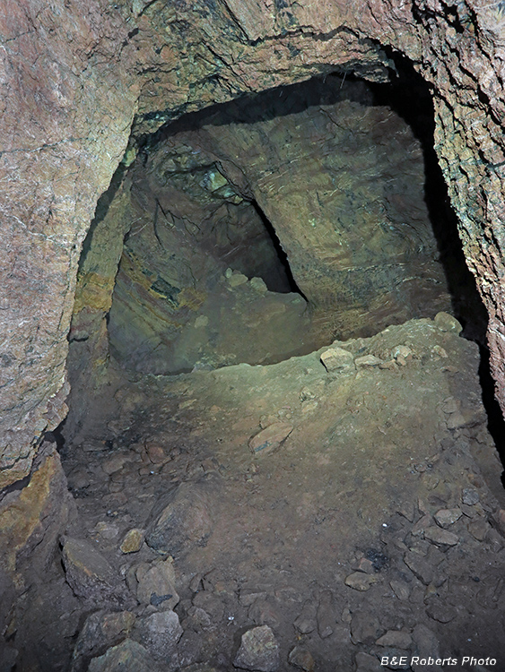
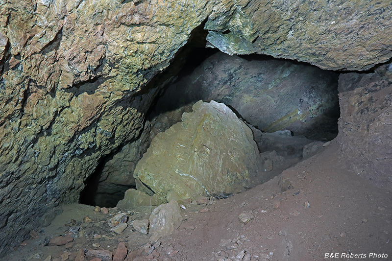
| View toward the main chamber - 4-way drift intersection |
|
 |
|
| Rough sketch of the adit and drifts layout The drift beyond the center "intersection" continues forward for about six feet, then makes a sharp left and heads downward. |
|
 |
|
| View into the left drift from the intersection The rubble in front isn't a small cave-in, but excavated dirt from a hole to my right. |
|
 |
|
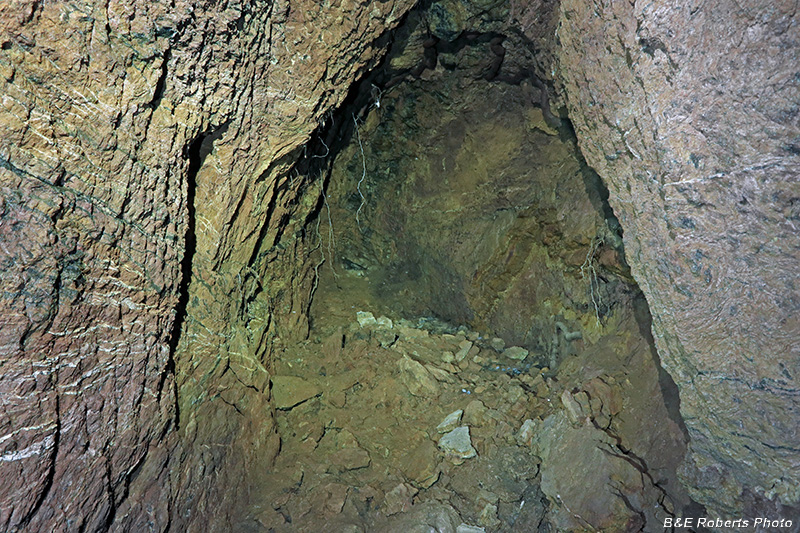
| Entering the left drift |
|
 |
|
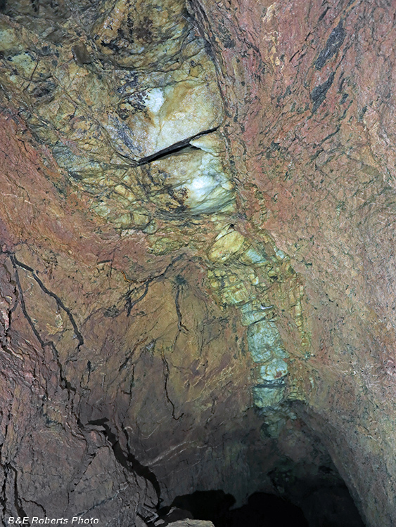
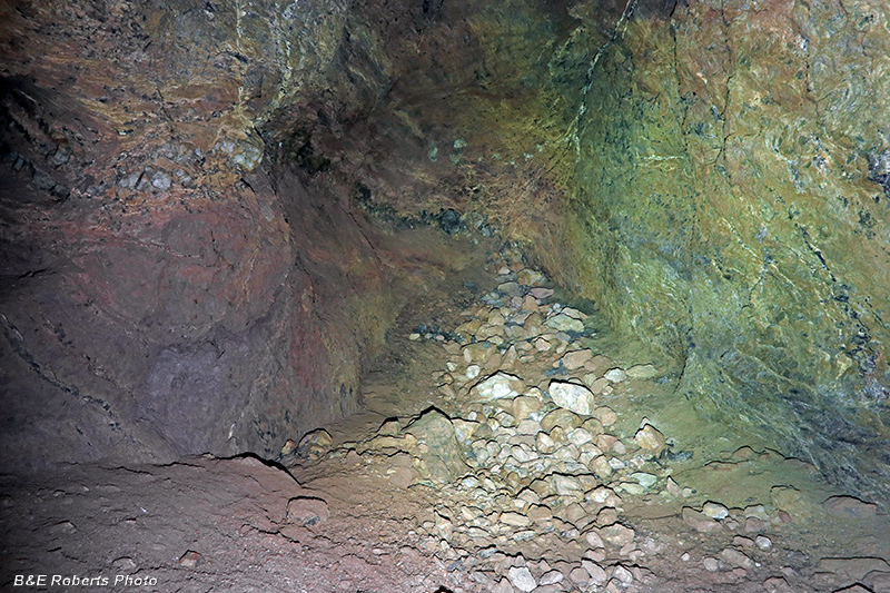
| Quartz vein that the miners were following, running along the ceiling of the two main drifts. |
|
 |
|
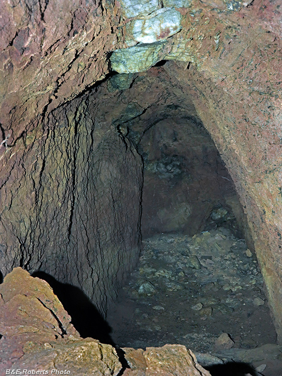
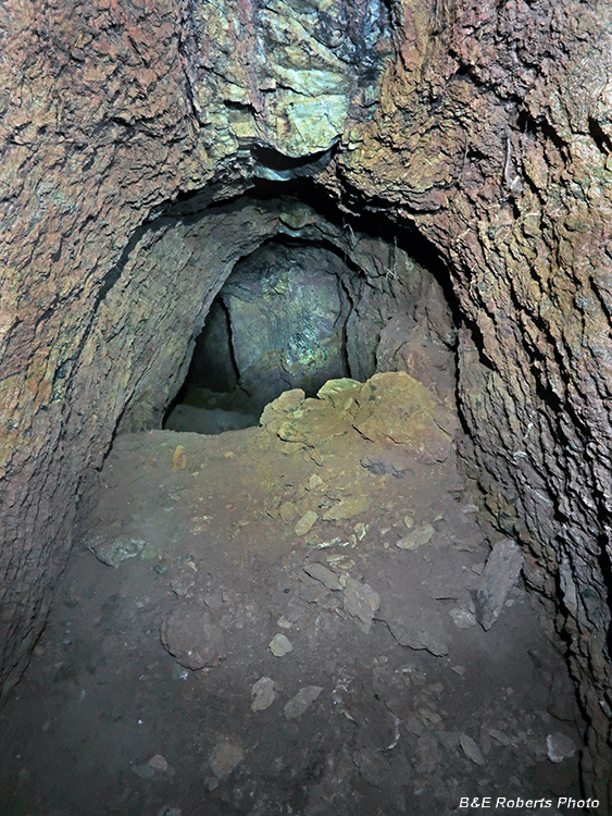
| Termination of the left drift |
|
 |
|
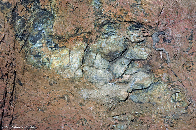
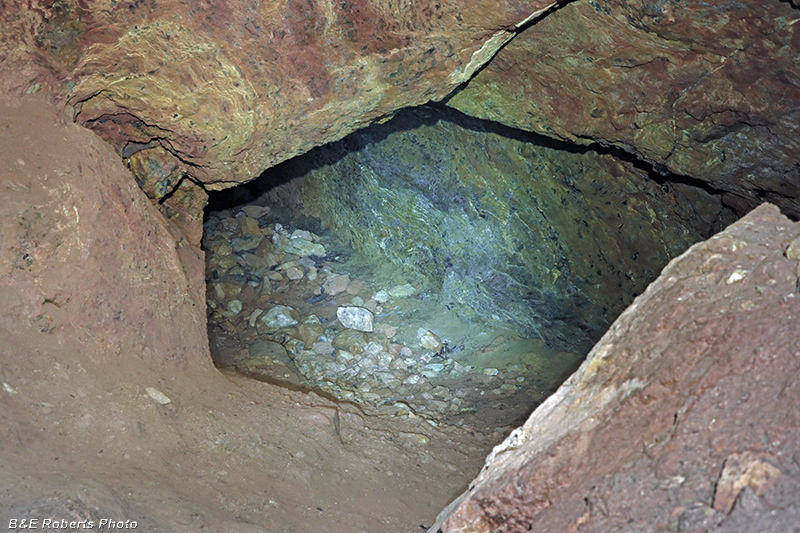
| Quartz outcrop at the end of the left drift |
|
 |
|
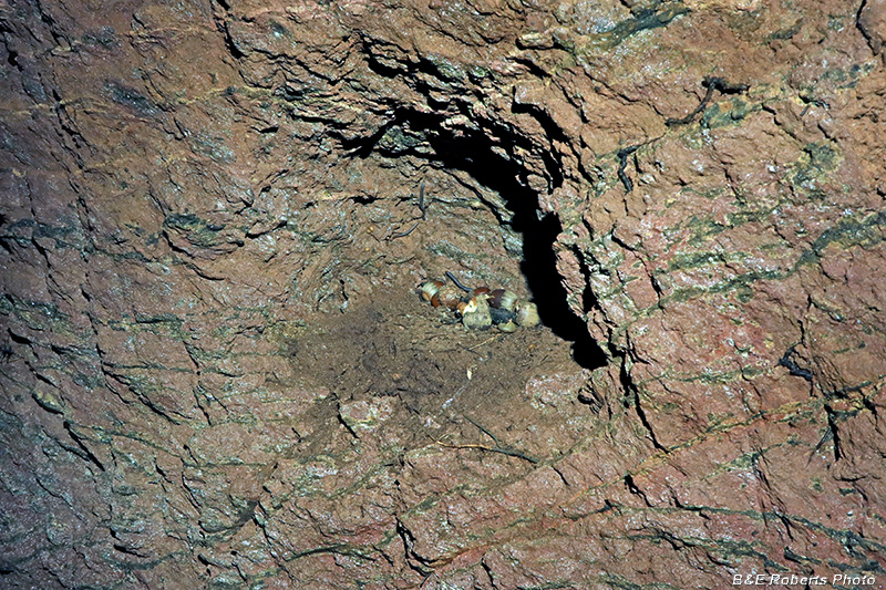
| These pocket shelves are common in mine tunnels. Nowadays, they often hold bird or mice nests; this one has several acorns |
|
 |
|
| Looking back towards center chamber from the left drift. |
|
 |
|
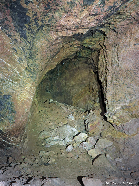
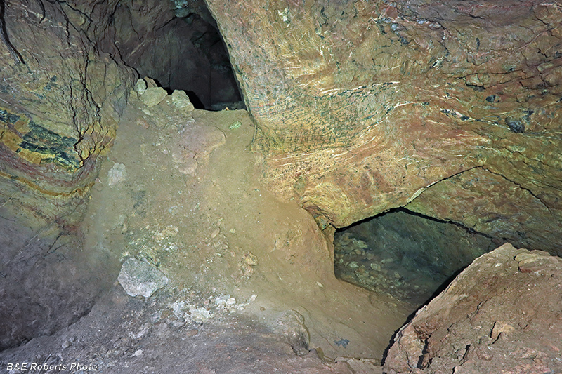
| Center chamber, looking toward the right drift |
|
 |
|
| Right drift |
|
 |
|
| Termination of the right drift This drift wasn't as long as the left drift. |
|
 |
|
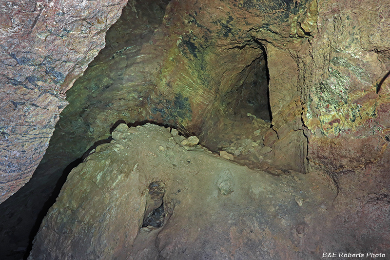
| View from right drift, looking back toward center intersection. |
|
 |
|
| From the mouth of the right drift, toward the center chamber. The entrance to the left drift is at upper left, and the entrance to the center downward drift is at lower right. |
|
 |
|
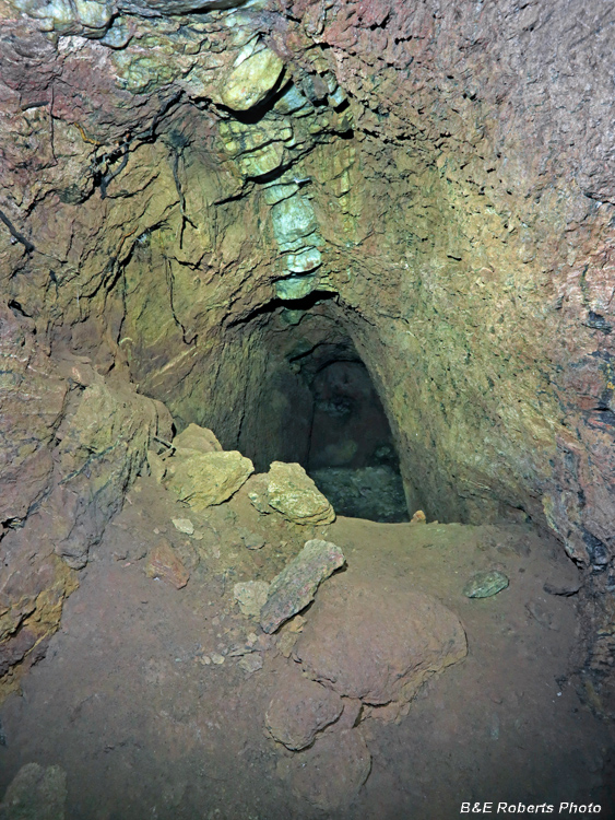
| Looking down at the center downward drift. |
|
 |
|
| This downward drift didn't go far. |
|
 |
|
| From the end of that short drift, looking back up toward the central intersection chamber. |
|
 |
|
| View back to the slumped adit mouth from the center chamber. |
|
 |
|
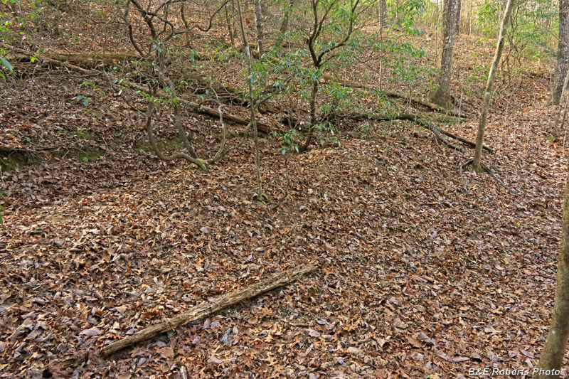
| Nearby was one of the related trench-pits mentioned at the top of the page. |
|
 |
|
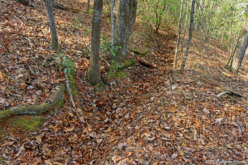
| A water ditch followed the contour of the adjacent ridges. |
|
 |
|
| These ditches were dug to carry the water necessary for the hydraulic mining. |
|
 |
|
| Another section of water ditch on the hill-side. |