| Frankin & Glenn Gold Prospect - Lower Works White County, GA |
All Text & Images: Copyright (2023) |
| Frankin & Glenn Gold Prospect - Lower Works White County, GA |
All Text & Images: Copyright (2023) |
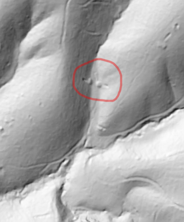
| I typically start researching mine operations with old geologic-mining reports, then use LIDAR to locate the specific mine works. In this case, I went about things a little backwards. I was reviewing some areas on LIDAR, examining locations that didn't have much mining activity, when I spotted an indication that jumped right out at me. It sure looked like two opposing tunnels in a hollow, right down to the spoils piles outside the openings. This was pure conjecture, of course, as LIDAR imaging isn't that definitive, but my hunch was based on past experience. Even if I was correct, the odds were that any tunnels would be collapsed by now. So I headed out on a bushwhack that took me up and over a mountain and across another, through a number of rhododendron, laurel, and dog-hobble hells. I was fortunate to find a pair of adits, and both were intact. It took me a while to identify this operation, but this was known as the Franklin & Glenn Gold Prospect (or Lot). I later found out that this area was just the lower part of the Franklin & Glenn mining operation; probably a later operation than the works I would locate two weeks later. |
|
 |
|
| The LIDAR indication that caught my eye. The two tunnels are within the red circle. |
|
 |
|
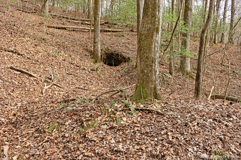
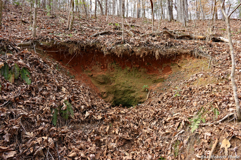
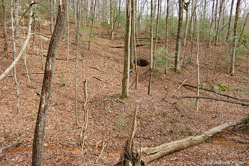
| As I approached the area, I saw two opposing trenches leading into the hillside on each side of the hollow. This is the east side of the hollow. |
|
 |
|
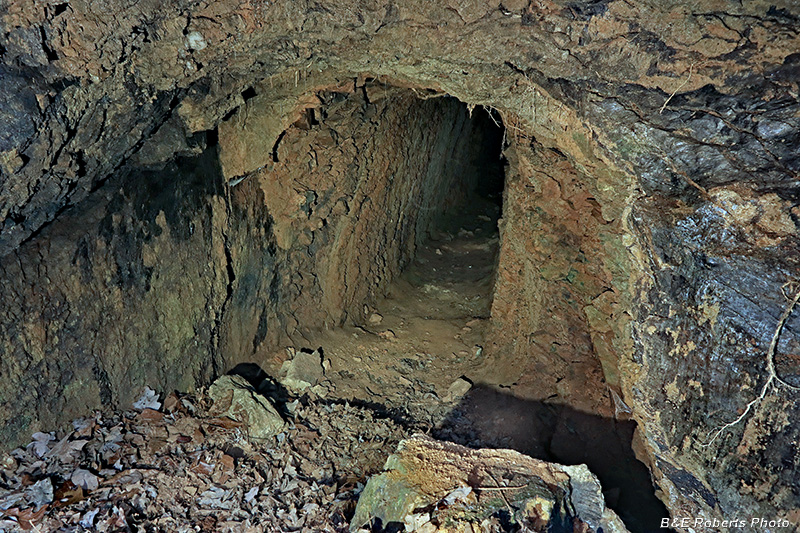
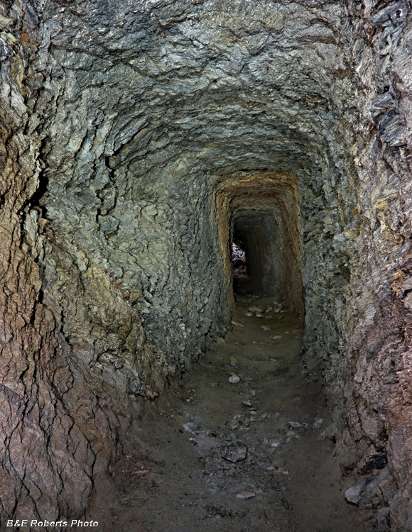
| I decided to check the east side first. That tunnel certainly appears to be open. |
|
 |
|
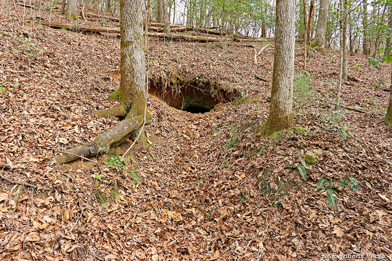
| Partially slumped, but I could easily slip down that opening. |
|
 |
|
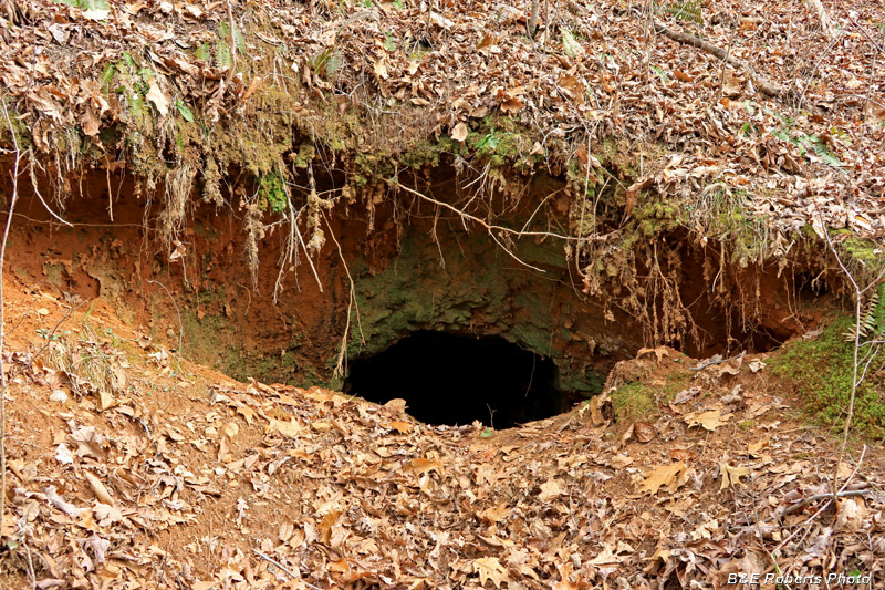
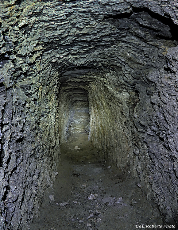
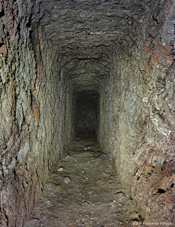
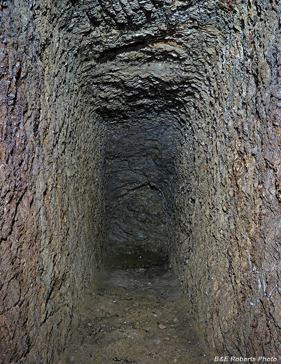
| Starting down tunnel 1... There was no sign that any person or large animal had been in either tunnel for a LONG time. |
|
 |
|
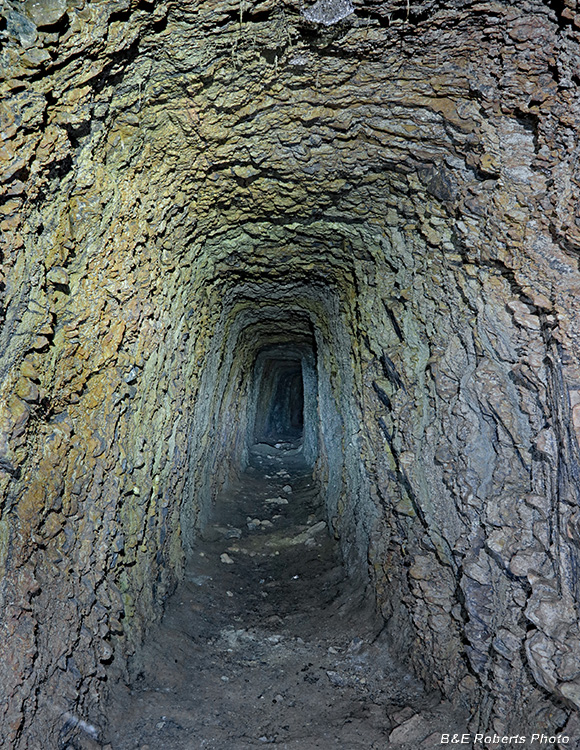
| Walking through Tunnel 1 |
|
 |
|
| Continuing on... |
|
 |
|
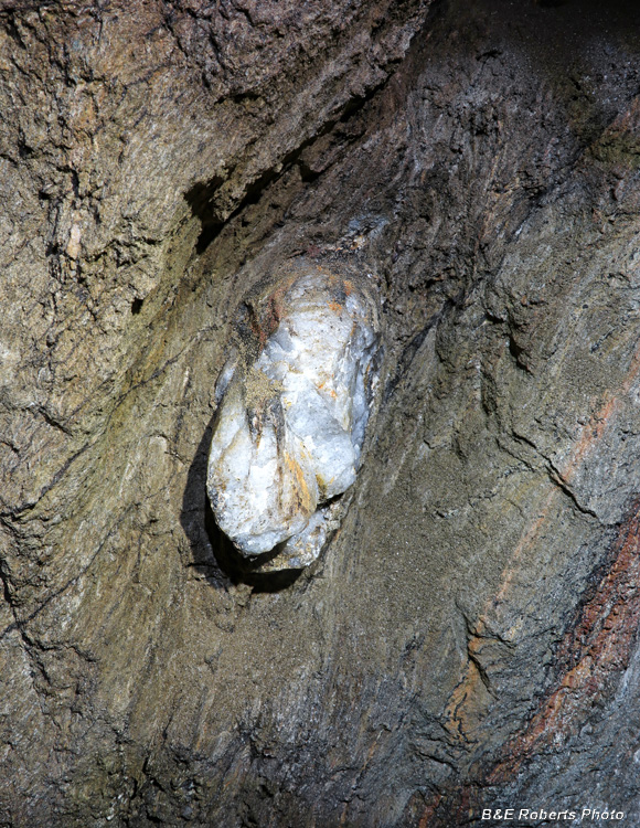
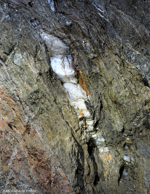
| The miners had cut out a pocket in the side of the tunnel, but left this chunk of quartz protruding about 12 inches. |
|
 |
|
| Quartz vein on the opposite side |
|
 |
|
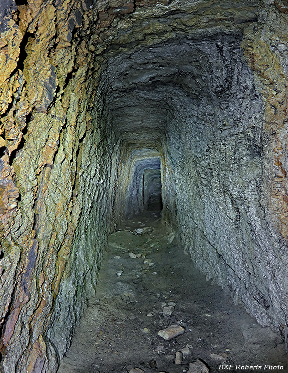
| Continuing along; the tunnel was about 150 feet long. |
|
 |
|
| This is as far as we'll go here. |
|
 |
|
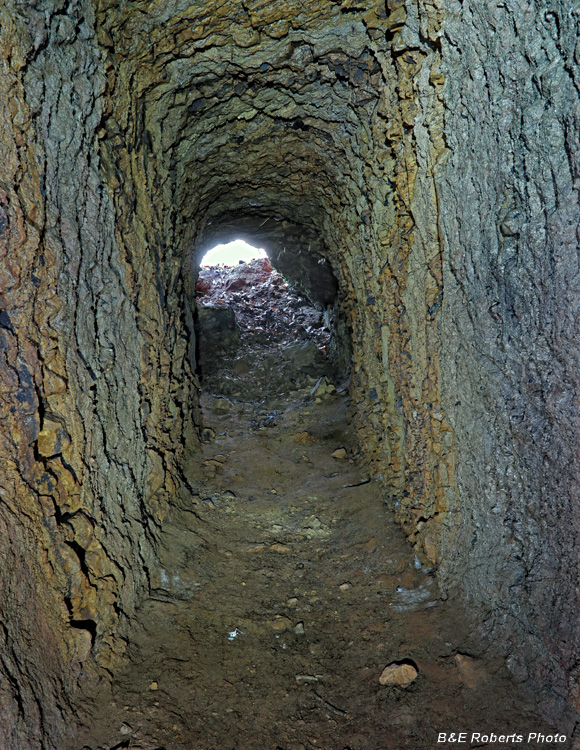
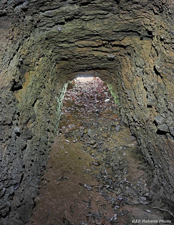
| Heading back, one can see the light at the end of the tunnel. |
|
 |
|
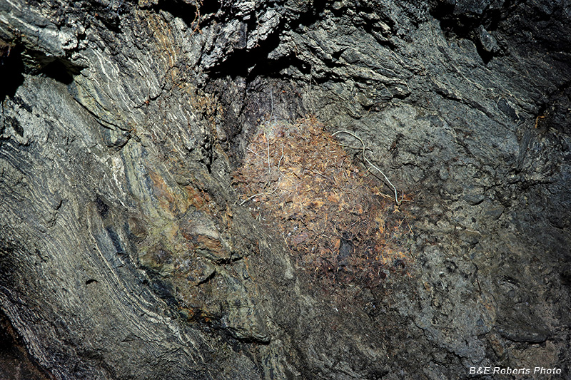
| I often find nests in the pocket shelves that the miners carved out to hold their lanterns. |
|
 |
|
| Almost out... |
|
 |
|
| Back out in the open, this was the view across the hollow toward Tunnel 2. |
|
 |
|
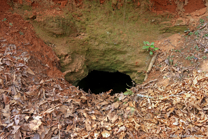
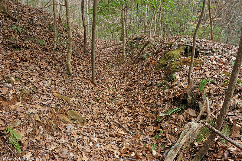
| Trench leading to Tunnel 2 I wasn't sure if it was going to be open or not. |
|
 |
|
| Still not sure... |
|
 |
|
| Yup, it's open; although a bit tighter than the first tunnel entrance. I got pretty filthy getting into and out of these tunnels. Like most mining tunnels, the earth mouths of these tunnels have slumped over the past 100 years or so. Once inside, they open back up. |
|
 |
|
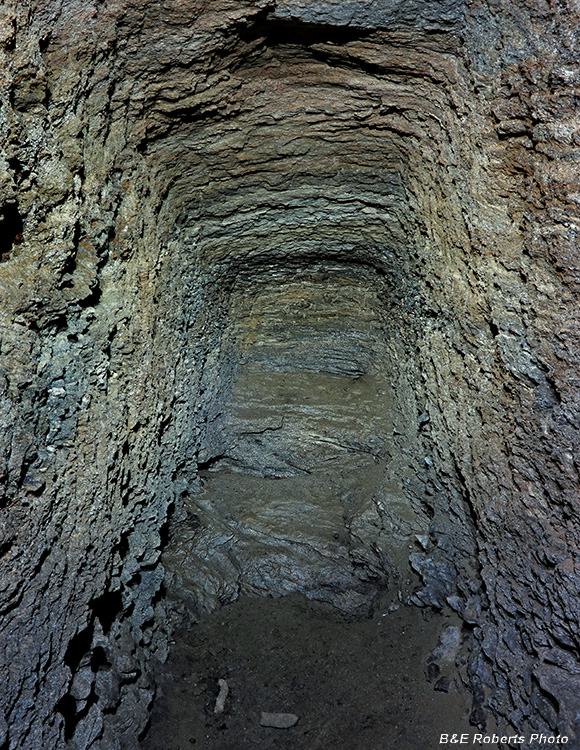
| Tunnel 2 was relatively short, only about 60-70 feet deep. |
|
 |
|
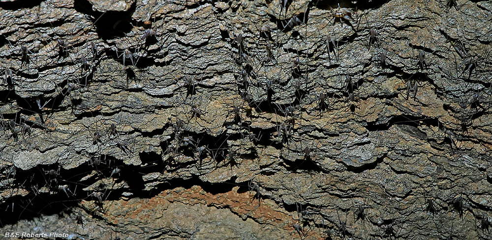
| Hundreds of cave crickets covered the ceiling here. |
|
 |
|
| End of the line for Tunnel 2. |
|
 |
|
| Coming back out of tunnel 2. Climbing back up to that small opening was harder than it looks! My feet couldn't get a purchase in the loose dirt of the short steep slope. |
|
 |
|
| View back at Tunnel 1 from Tunnel 2. |
|
 |
|
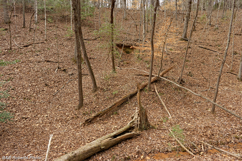
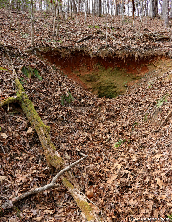
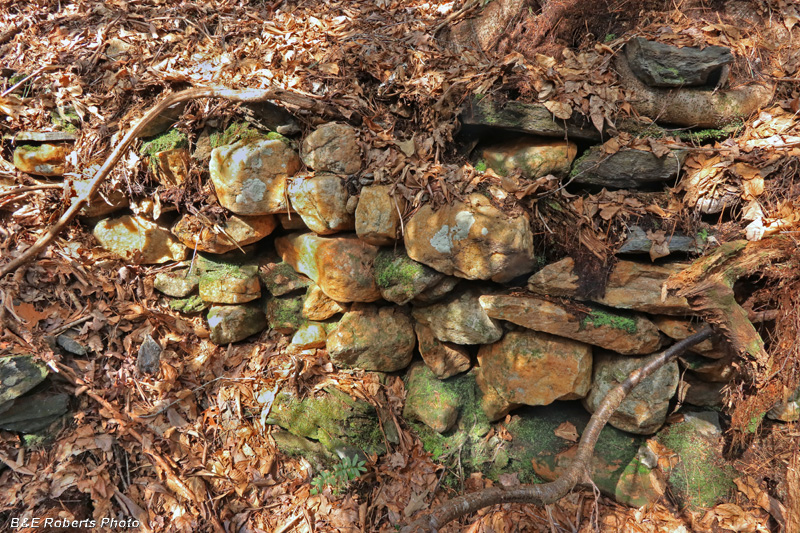
| Prospect trench down at the foot of the ridge. (It actually shows in the LIDAR map at the top of the page...) |
|
 |
|
| Evidence of placer mining in the creek downstream. As is often the case on my bushwhack explorations, I found an old logging road that made the hike back much easier than the route in! |