| Smithgall Woods - 1 White County, GA February 2022 |
All Text & Images: Copyright (2022) |
| Smithgall Woods - 1 White County, GA February 2022 |
All Text & Images: Copyright (2022) |
| Familiarization with the Park, and an Exploration of the Reynolds Vein at Martin's Mine I spent an afternoon exploring around this 5600+ acre Park. As a conservation park, vehicles are not allowed beyond the Visitors Center, which cuts down on crowds and associated noise. With my ambitious itinerary, I bit off more than I could chew for one afternoon and didn't hit all of my planned spots; the Park is a lot bigger than you'd think once you're in there! |
|
 |
|
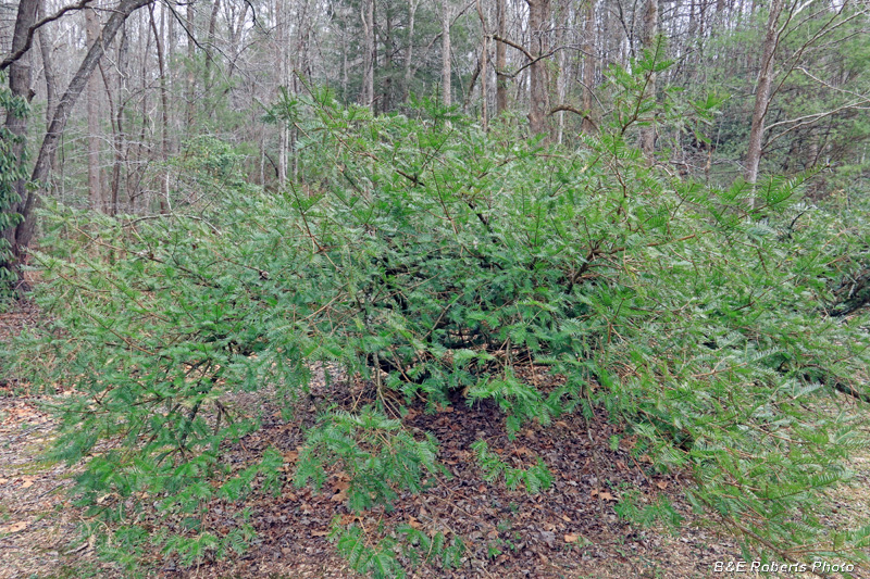
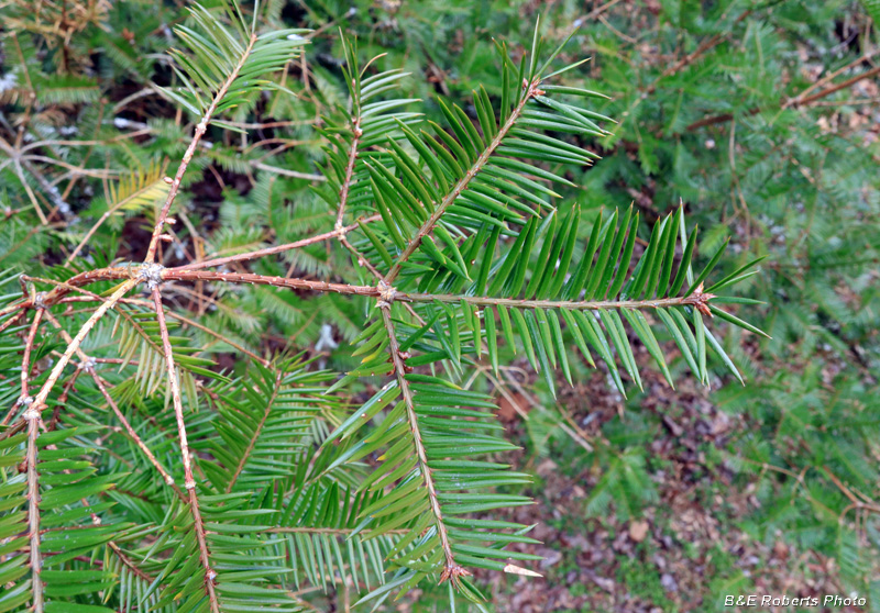
| I knew that some Florida Torreya (Torreya taxifolia) grew here. |
|
 |
|
| This is one of the most critically endangered plant species in the US. The trees here are part of a safeguarding collection, to protect the species outside its natural habitat. |
|
 |
|
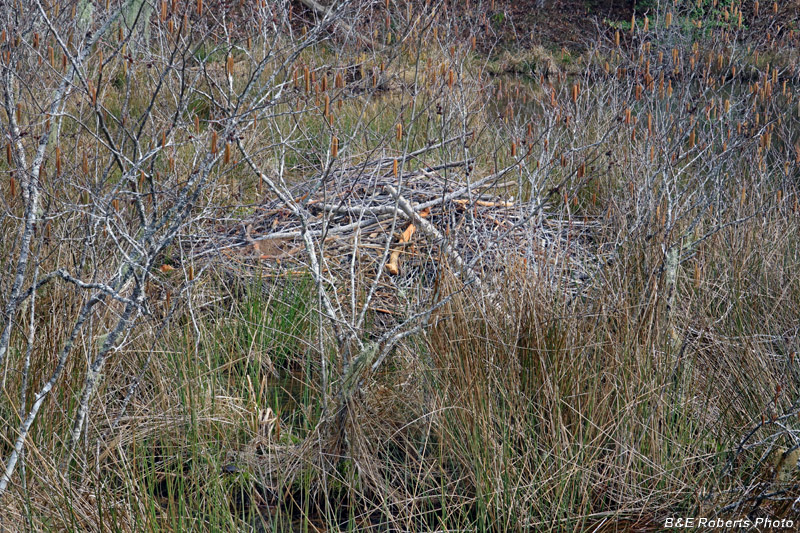
| Beaver lodge, in the wetlands area It's a little hard to see with the other growth in the foreground... |
|
 |
|
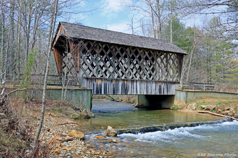
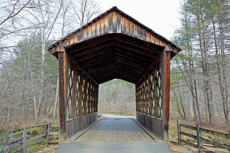
| Covered bridge over Dukes Creek. |
|
 |
|
| Not an historic bridge, it was built in the lattice truss style. |
|
 |
|
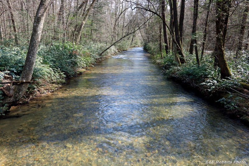
| Much of the back section of the trail parallels Dukes Creek. |
|
 |
|
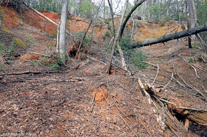
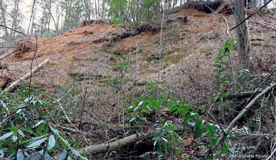
| This entire area was a hotbed of mining in the 1800s. Much of the land has healed over the past 120 years, but there are still places where the open mine cuts are as raw as when they were hydraulically stripped. |
|
 |
|
| Top of vertical air shaft at the Reynolds Vein There was a 986 foot long tunnel under this open cut. This was the middle of 3 air shafts, 125 ft deep. |
|
 |
|
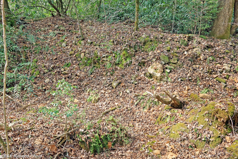
| One of the many mine tailings piles in the area. The Reynolds property was previously known as the Martin mine, having been owned and worked by John Martin. |
|
 |
|
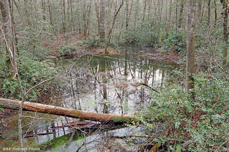
| An ephemeral pond |
|
 |
|
| Evidence of the old mining activity is everywhere. |
|
 |
|
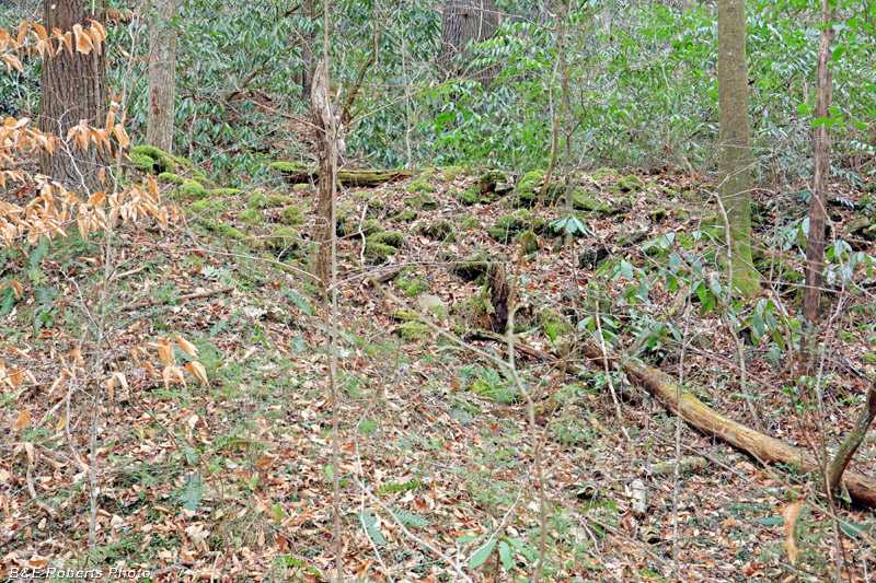
| Another tailings pile |
|
 |
|
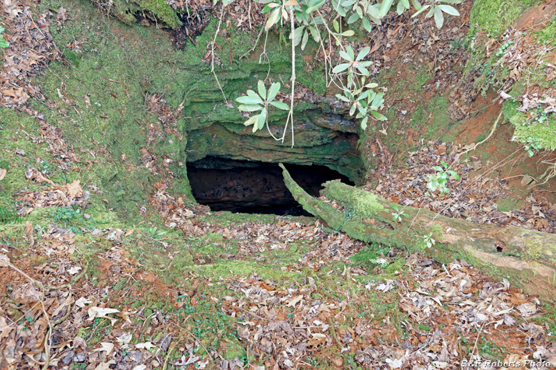
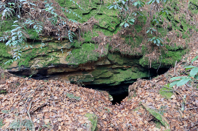
| I was unable to locate the long tunnel that was associated with the air shafts. However, I did find some other tunnels/adits. Most, like this one, had the entrance roof slumped to some extent. |
|
 |
|
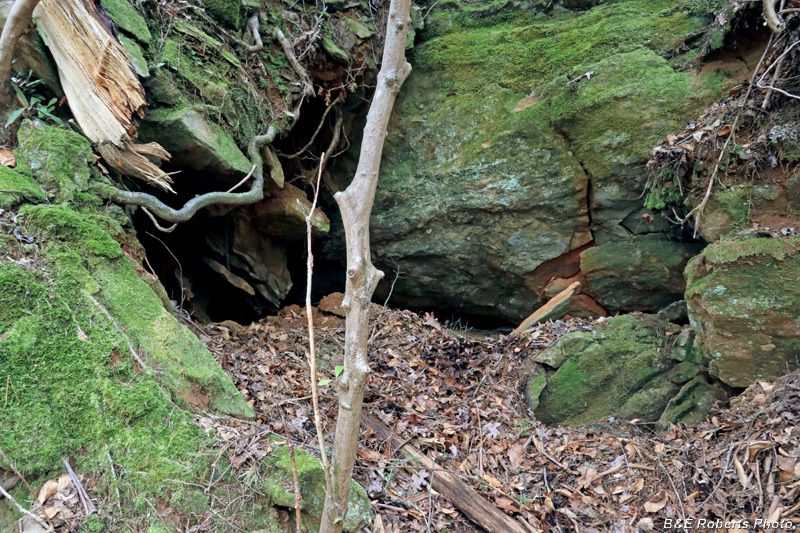
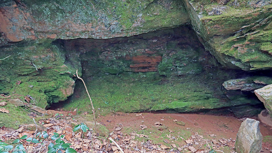
| Another blocked tunnel entrance. Two openings can be seen leading into the tunnel, but at ~10 inches wide, I wasn't about to fit through either one! |
|
 |
|
| Looking into the opening on the right side of the previous photo. I could feel a definite flow of air coming out of the holes. |
|
 |
|
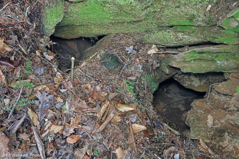
| The next tunnel I found also had a slumped entrance, but it looked like there was a hole big enough to crawl through. |
|
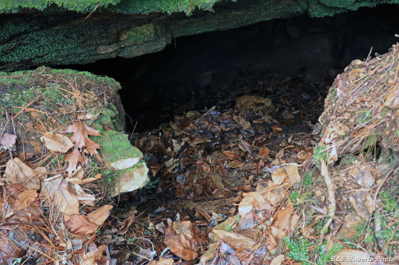 |
|
| A closer view of the entrance hole. |
|
 |
|
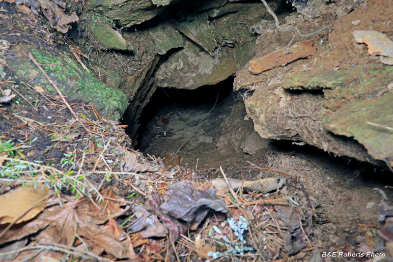
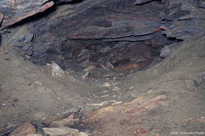
| Inside the tunnel; unfortunately, it wasn't very long. |
|
 |
|
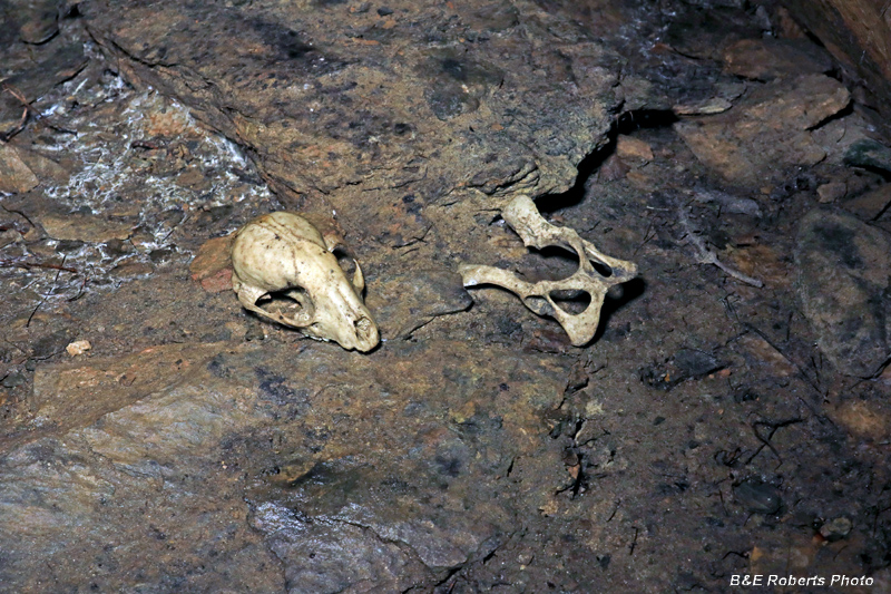
| Skull and bones inside the tunnel. |
|
 |
|
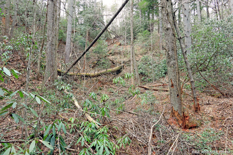
| Another section of the steep open cut that followed the Reynolds Vein. There was a lot of blowdown in the mine cut, making it difficult to make headway. |
|
 |
|
| There was a flow of air coming out of a crack in this cut-out in the rock wall. |
|
 |
|
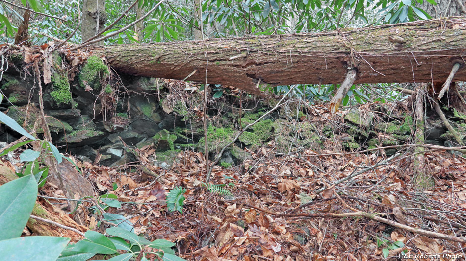
| I found an interesting curved rock wall near the mining mill site, but a tree had fallen on it, making it difficult to photograph. This wall was near the location of the old stamp mill, which was sited between the main cut and the waterfall in the next photo. |
|
 |
|
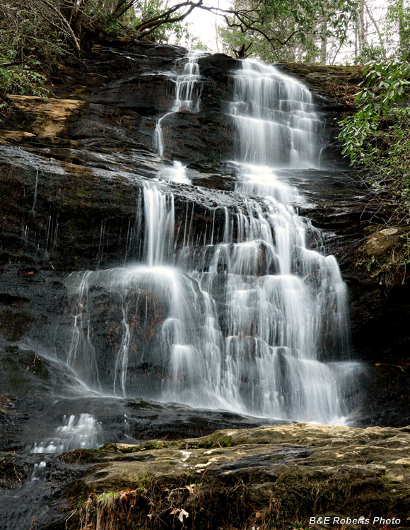
| This pretty waterfall on White-McGhee Branch made for a pleasant end to the day, before the long walk back to the parking area. |