| Smithgall Woods Area - 2 White County, GA March 2022 |
All Text & Images: Copyright (2022) |
| Smithgall Woods Area - 2 White County, GA March 2022 |
All Text & Images: Copyright (2022) |
| The Hamby Ditch, the Dean Cut, and the Franco-American Mine There is so much history within this park, it was hard to decide where to explore next. I decided to check out the Hamby Ditch, and then the old St. George mine property, including the Dean Cut. With clear sunny skies, the lighting in the woods was mostly horrible for photography, so I didn't take many photos until later in the afternoon. |
|
 |
|
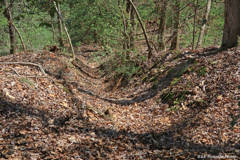
| A section of the Hamby Mining Ditch Hydraulic mining required a good supply of water. Ditches were constructed to divert water from creeks and transport it to locations above the mines. The largest in this area was the Hamby Ditch, which captured water from Dukes Creek and carried it for over eight miles, following the contours of the mountainside, in and out of every cove along the way. |
|
 |
|
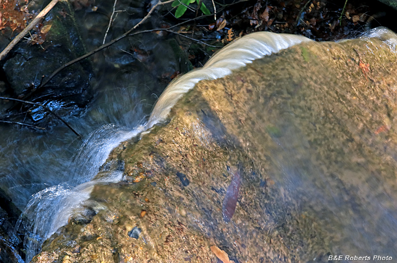
| Typical flume running down-slope from the Hamby Ditch Along the Ditch, gates would release water into these side ditches for the hydraulic operations below. |
|
 |
|
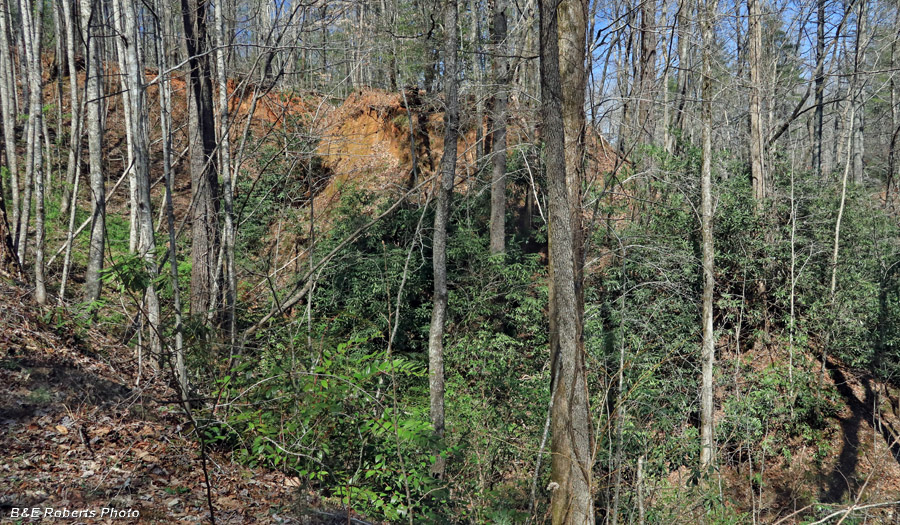
| The Dean Cut was huge. This is just one small section, much of it still raw after 100 years... I had hoped to get more photos around this large area, but with the terrible contrasty conditions, I'll need to return on an overcast day. |
|
 |
|
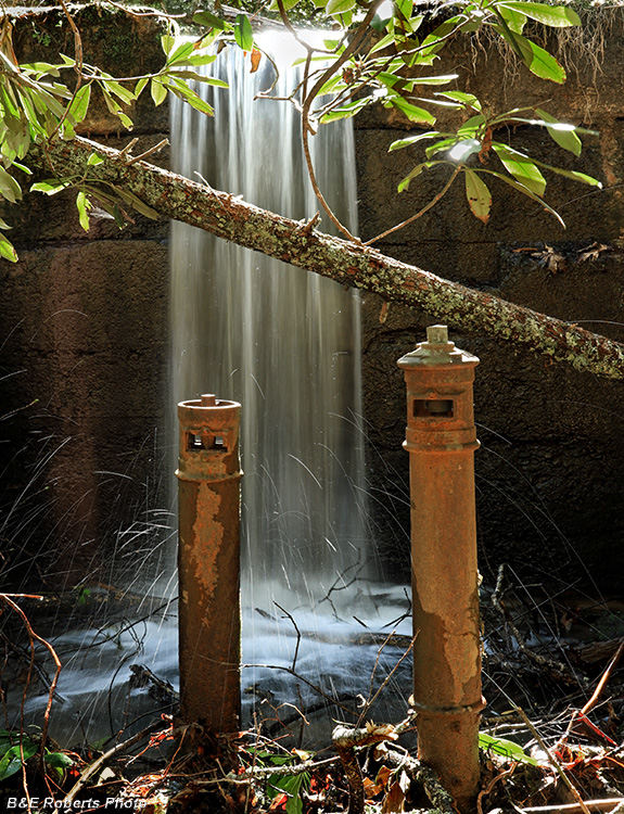
| Valves at upper dam, England Branch Back in the day, this dam created a small pond that served as a reservoir. The valve on the left controls the outlet flow; the one on the right operated the (now silted up) pond drain. |
|
 |
|
| A second small dam is downstream from the upper one |
|
 |
|
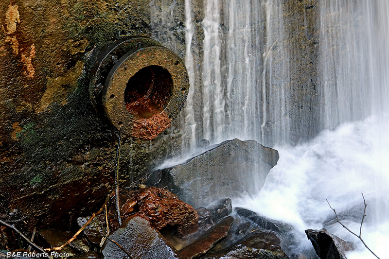
| Outlet pipe at lower dam |
|
 |
|
| Looking over the edge of the lower dam |
|
 |
|
| Lower dam, from the opposite side |
|
 |
|
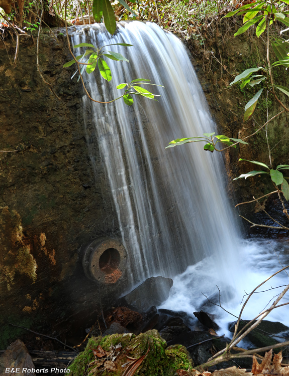
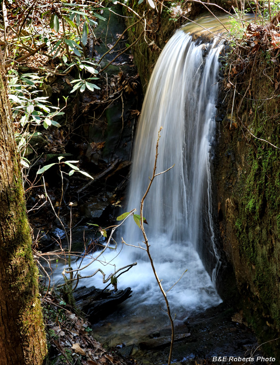
| England Branch Falls Just below the lower dam sits this pretty waterfall. |
|
 |
|
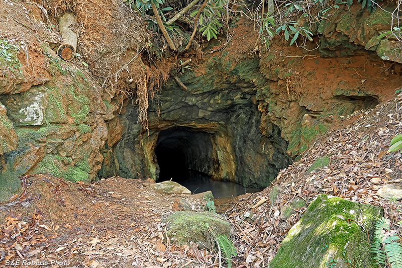
| Not far away, a tunnel was cut into the mountain-side. Another one of the many old gold mines that cover the area... |
|
 |
|
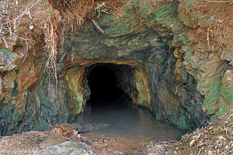
| Closer view of the tunnel entrance. |
|
 |
|
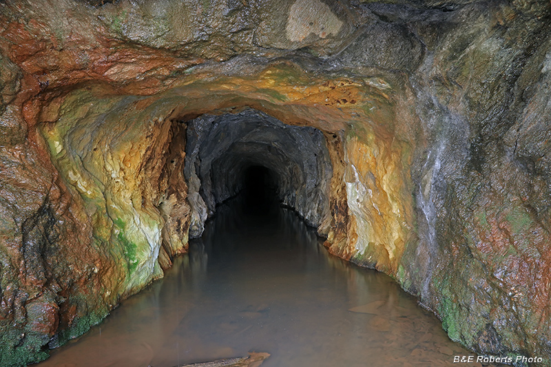
| Inside the tunnel; such unusual colors! After a rainy month, the water was about knee deep. |
|
 |
|
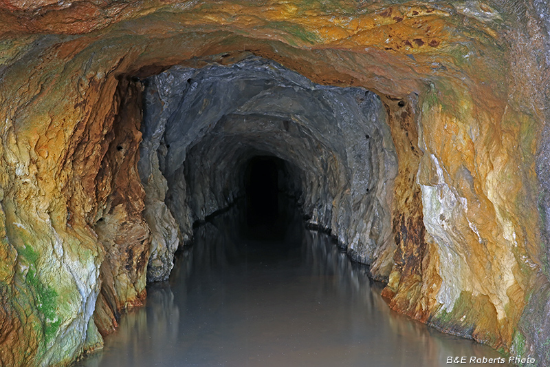
| Looking further back into the hard rock mine. These works were part of the Franco-American Mine, which operated in the 1930s. The area had also been worked to a lesser extent by placer mining in the 1800s. |
|
 |
|
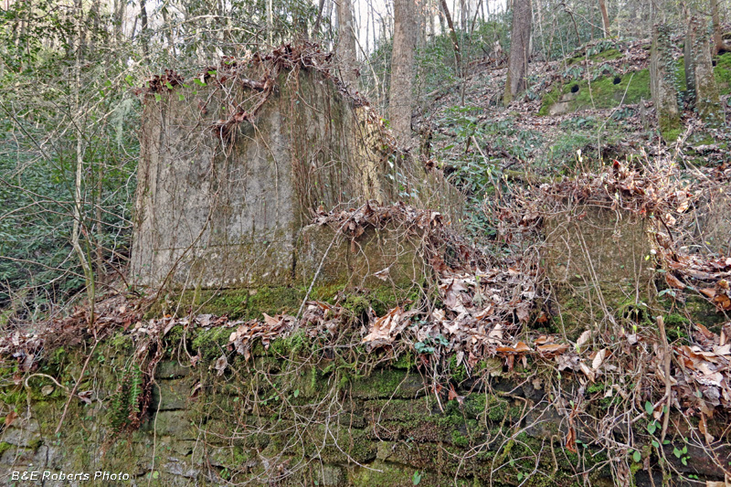
| The area contains a number of ruins from the 1930s mining operation. |
|
 |
|
| These ruins are on the north side of the valley. |
|
 |
|
| A set of steps... |
|
 |
|
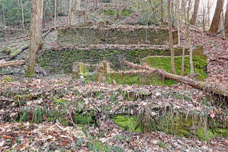
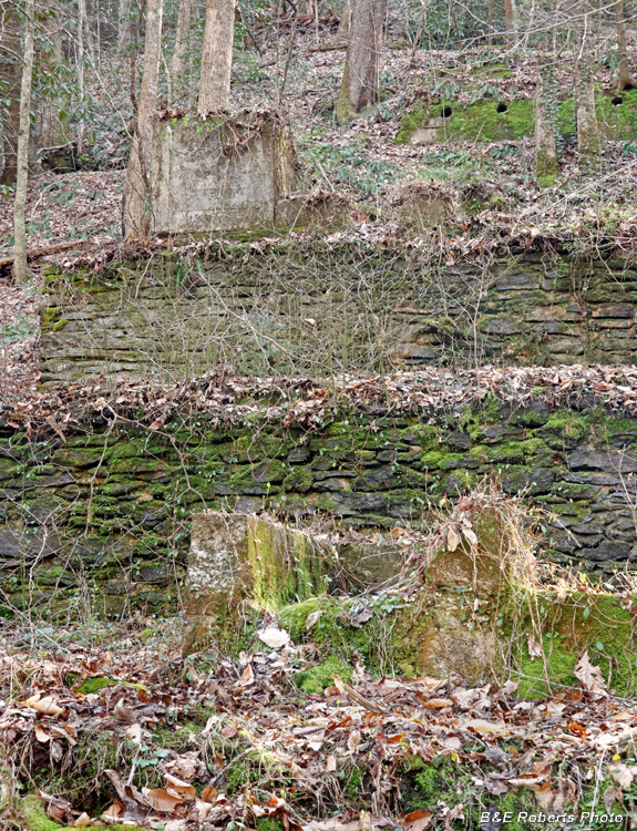
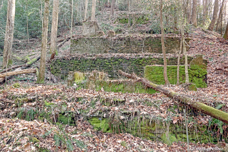
| The ruins on the south slope are more extensive. They consist of 4 or 5 levels on the steep slope. |
|
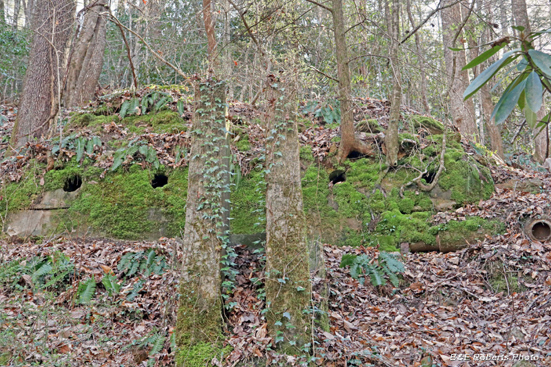 |
|
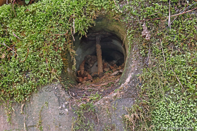
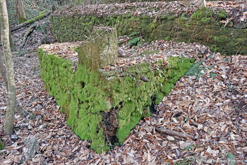
| Upper level of ruins. I don't know what the round openings were for. |
|
 |
|
| View inside one of the cylindrical openings. |
|
 |
|
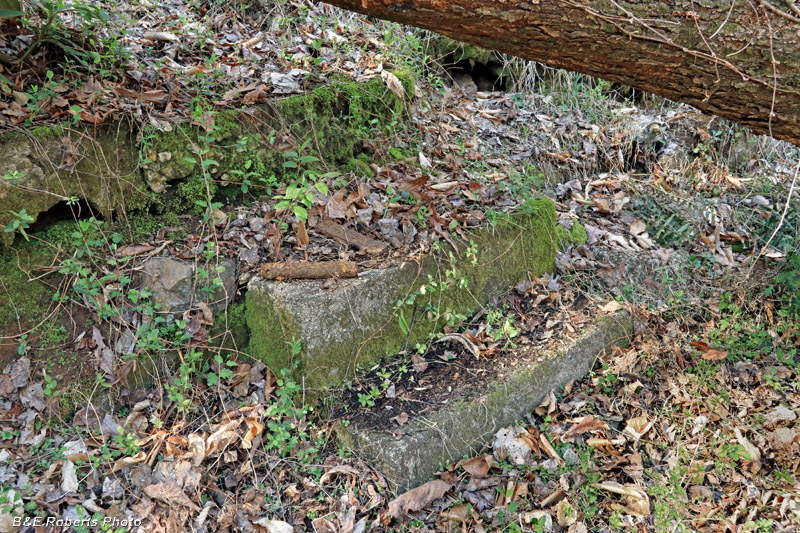
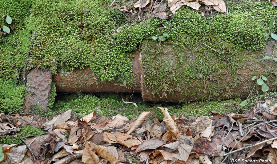
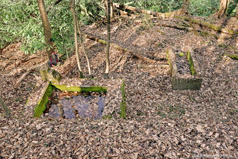
| A section of large pipe (8" / 10" dia.) was exposed here. |
|
 |
|
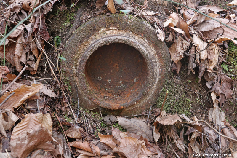
| Unknown capped pipe, about 10" diameter. |
|
 |
|
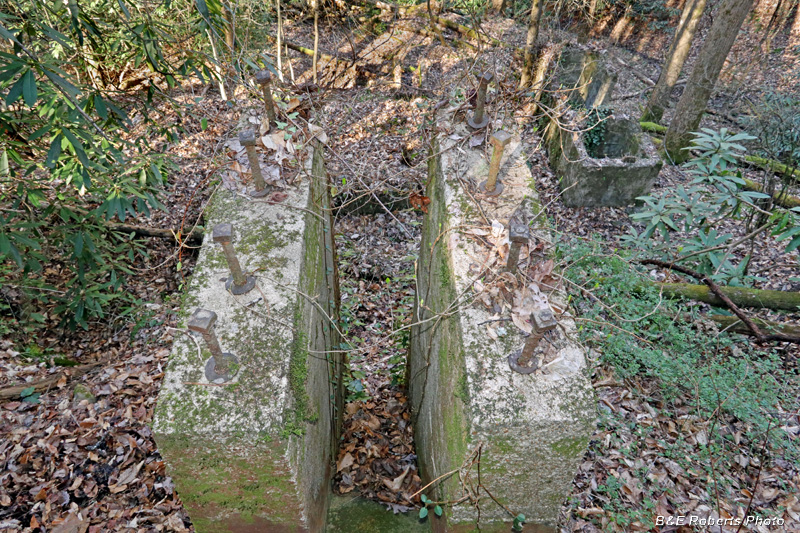
| Concrete structures with embedded bolts. |
|
 |
|
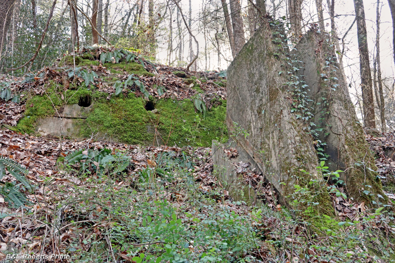
| Upper ruins |
|
 |
|
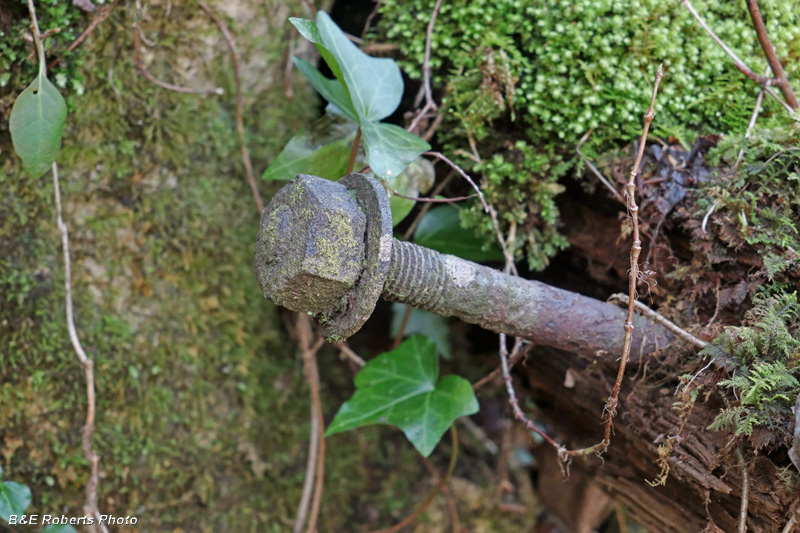
| An old bolt in part of the structure. |
|
 |
|
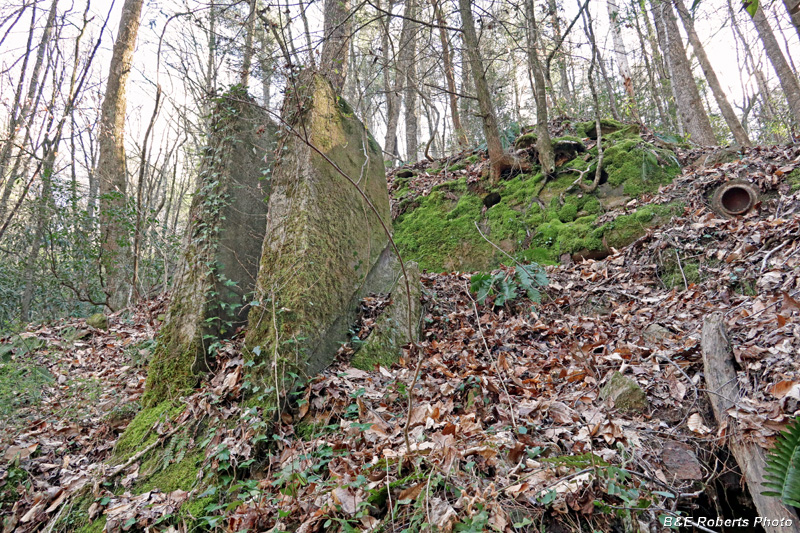
| Upper ruins |
|
 |
|
| Mid-level ruins... |
|
 |
|
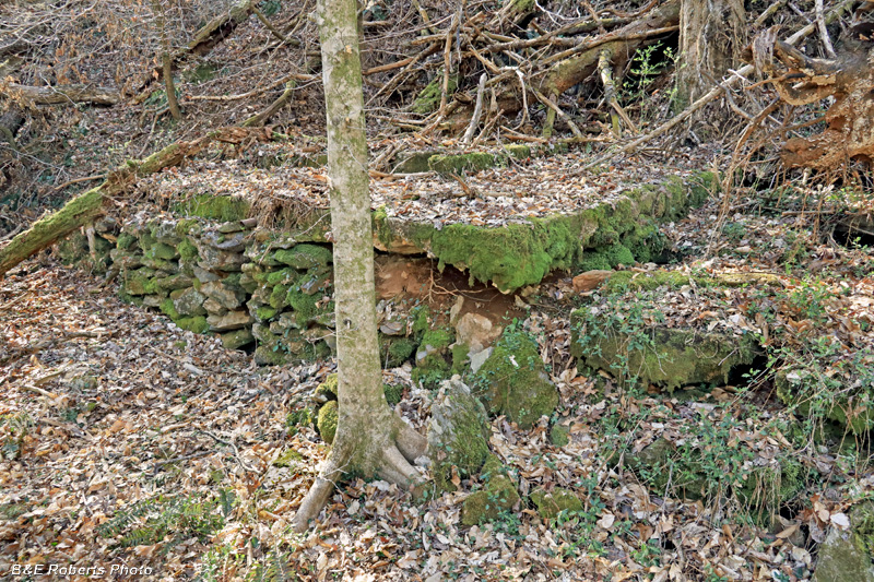
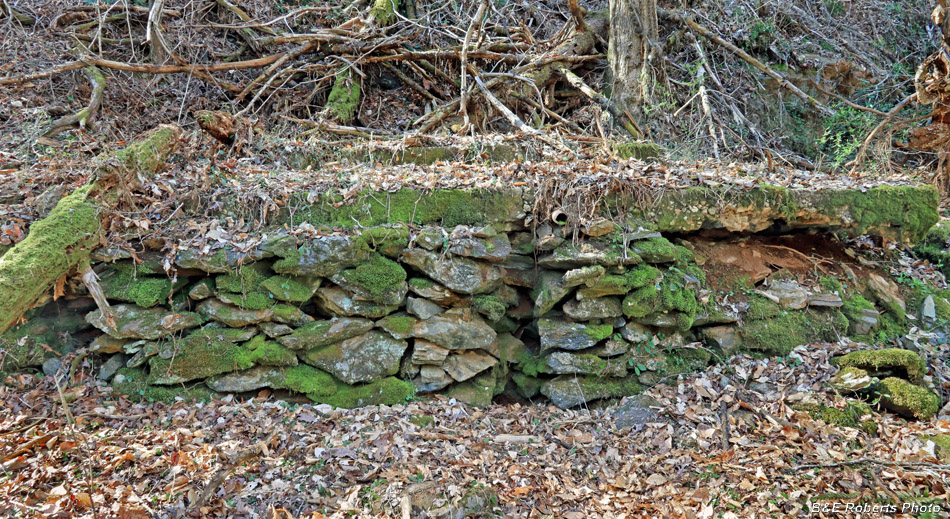
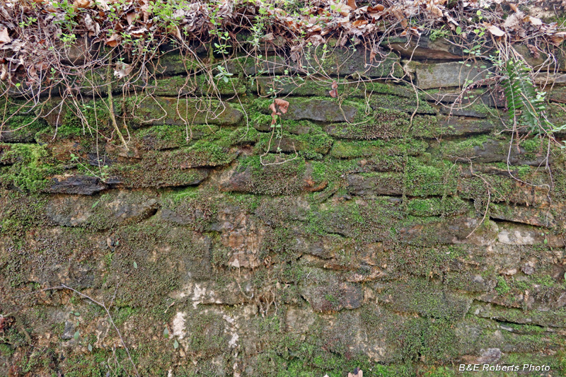
| Several of the levels had well-built stone walls. |
|
 |
|
| Looking down at lower levels |
|
 |
|
| Second level from the base. |
|
 |
|
| Ruins |
|
 |
|
| One final view of the overall south ruins |