| Smithgall Woods Area - 3 White County, GA March 2022 |
All Text & Images: Copyright (2022) |
| Smithgall Woods Area - 3 White County, GA March 2022 |
All Text & Images: Copyright (2022) |
| The Franco-American Mine (part 2) & Little Hamby Mtn. After seeing the tunnel and mill ruins of the Franco-American mine, I decided to return and explore that area further. This 1930s operation was one of the last commercial gold mining operations in the area. Like most of the nearby gold belt sites, it had already been worked by placer and hydraulic methods prior to the tunneling. |
|
 |
|
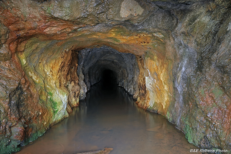
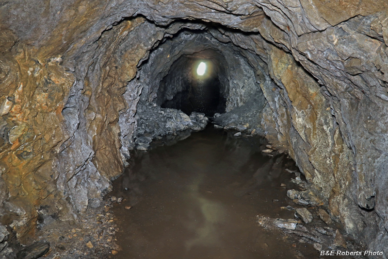
| Mouth of the hard rock tunnel, from my earlier visit... The previous week, there was a lot of water in the tunnel from the recent rains. It hadn't dried any, but this time I brought my hip-waders with me, and decided to go inside. The water level was about knee deep for almost 100 yards. |
|
 |
|
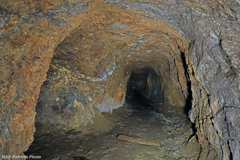
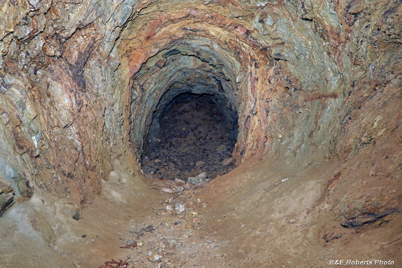
| The tunnel eventually started to ascend slightly and the last 40 yards were relatively dry. |
|
 |
|
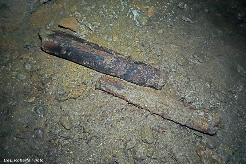
| Remains of a couple of old mine timbers... |
|
 |
|
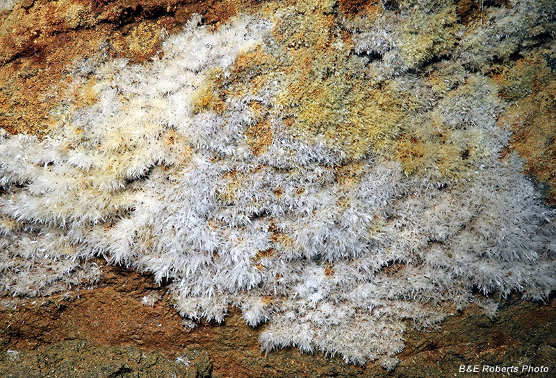
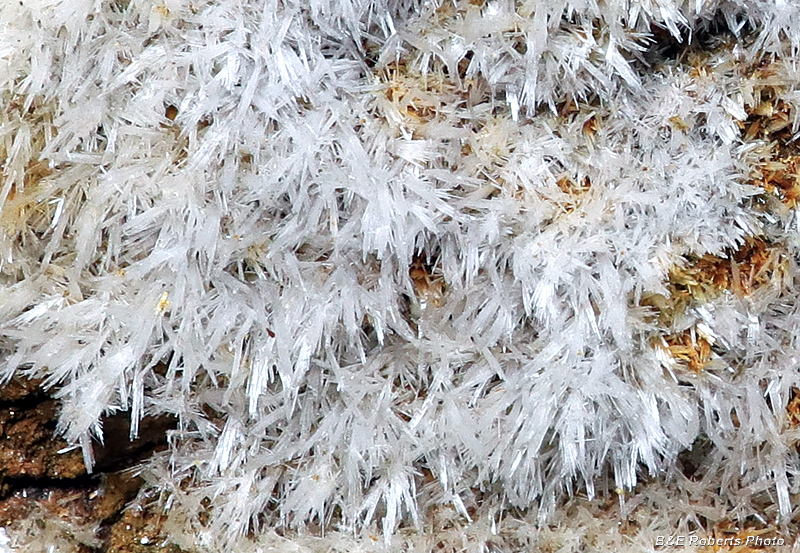
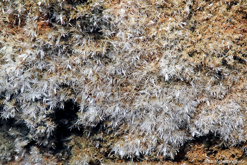
| I think this is Speleothem Frostwork |
|
 |
|
| Close-up of the Speleothem crystals |
|
 |
|
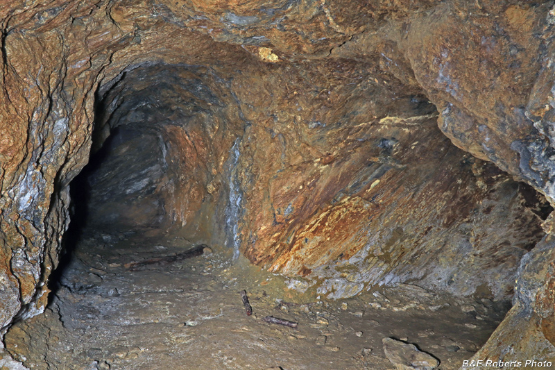
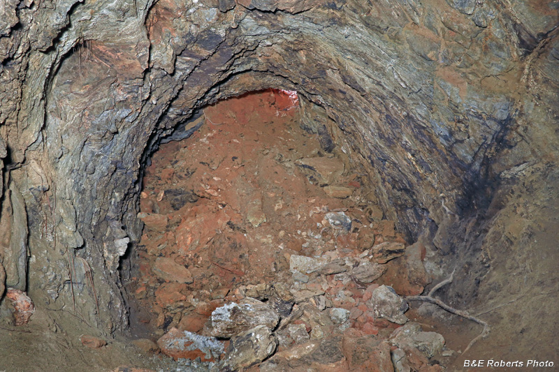
| Here, a short adit branches off to the right. The main tunnel ends a short distance further on the left. |
|
 |
|
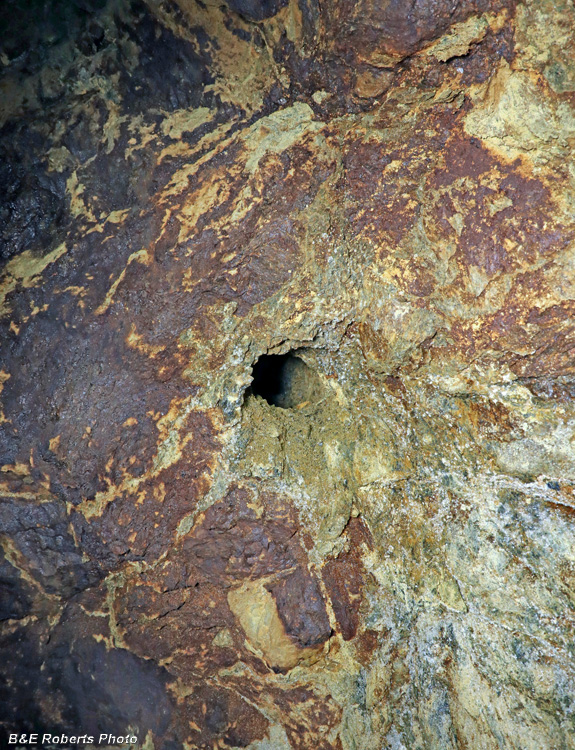
| The side adit had a series of these 2" drill holes in the rock face. They had likely been preparing to blast another section of rock when work halted. |
|
 |
|
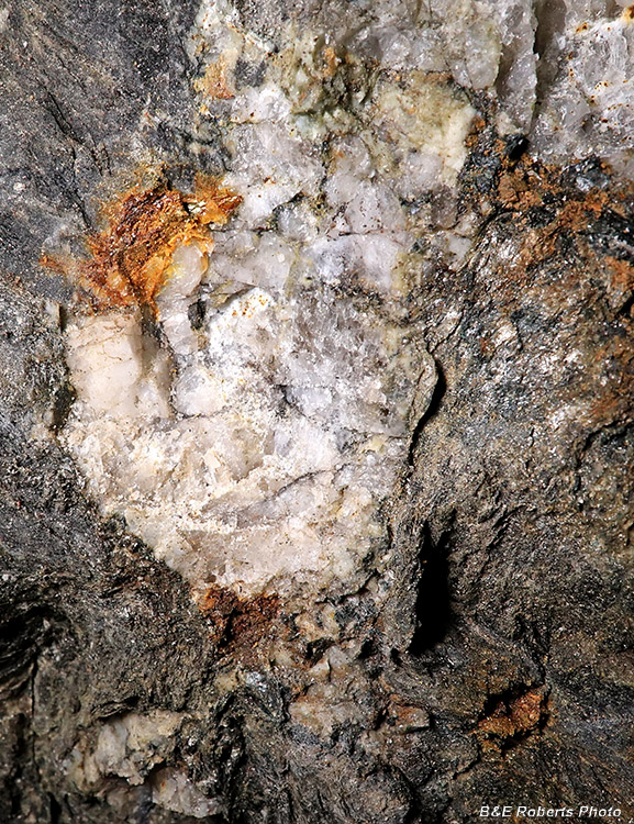
| Part of a quartz vein |
|
 |
|
| Another section of Speleothem on the tunnel wall |
|
 |
|
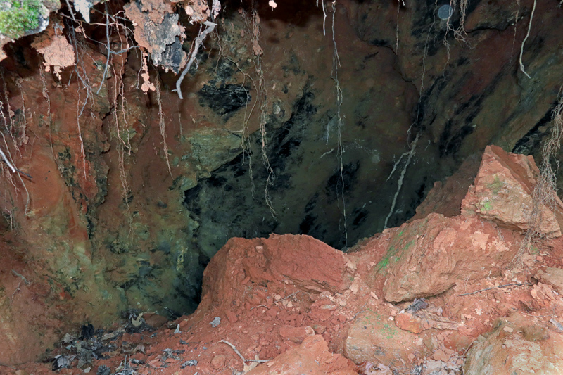
| Heading back, at the point where I hit the water again. There had been a small roof collapse years ago, visible in the center. |
|
 |
|
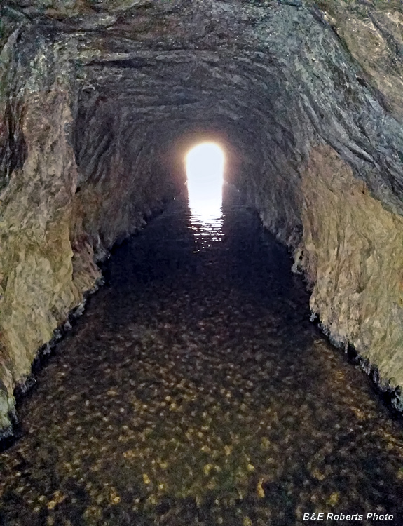
| About half way back through the standing water. I took this with my cellphone, as I didn't want to get my camera out of my pack while standing in knee-deep water. |
|
 |
|
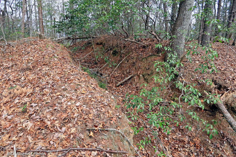
| Leaving the tunnel, I put on my hiking boots and explored the adjacent areas. This prospect trench was the first thing I encountered. |
|
 |
|
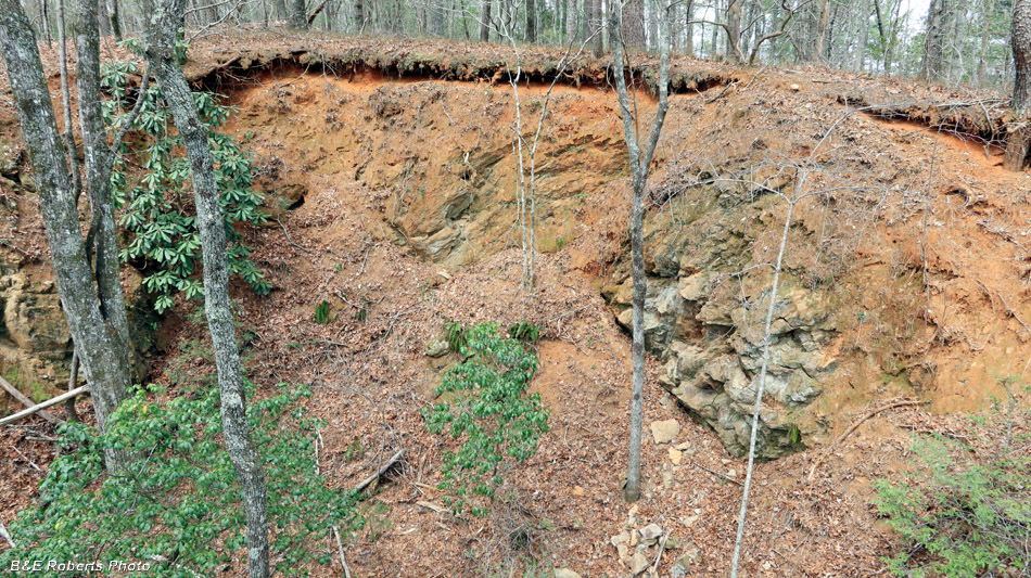
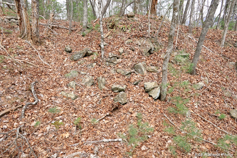
| Shortly afterwards, I came upon a deeply cut mining pit. |
|
 |
|
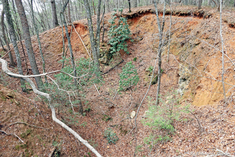
| The same pit / cut from another viewpoint. Around the big cut, I started finding tunnels in various states of condition: |
|
 |
|
| This one, with a partially slumped entry, only went in about 8-10 feet. |
|
 |
|
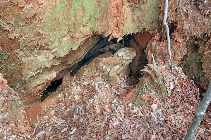
| Another tunnel with a slumped entrance. I could see inside, but couldn't tell how far it went. |
|
 |
|
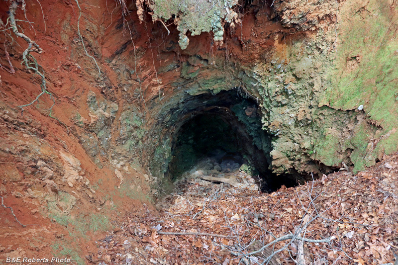
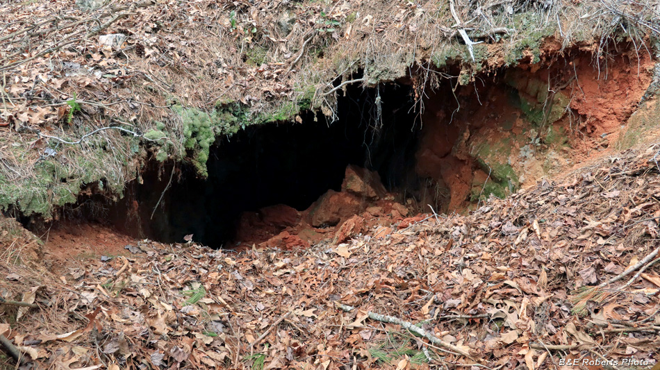
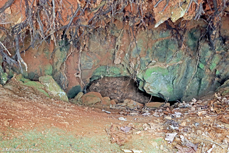
| The next tunnel I found also had a partially slumped entrance, but it looked large enough to enter. |
|
 |
|
| There was just enough room to slide down the left side. |
|
 |
|
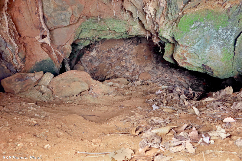
| This tunnel was about 100 feet long, before ending at a collapsed area. |
|
 |
|
| This view from inside gives a better visual of the slumped entrance. You can see the little sliver of light at upper right where I slipped down into the tunnel. |
|
 |
|
| There were piles of mine tailings everywhere... |
|
 |
|
| As with all the other dirt tunnels I found up in this area, the last one I came across also had a slumped opening. |
|
 |
|
| I'd gotten my camera, tripod, and lights (not to mention myself) pretty dirty crawling down into the previous tunnel, so I just moved a few rocks and slid down into this one empty handed to do a quick reconnaissance. Since it only went in about 10 feet in, I didn't bother going back down with my camera. |
|
 |
|
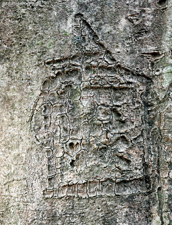
| Heading back to the mine's mill ruins, I found a beech tree almost three feet in diameter. It had a couple of the usual initials carved into it, but also some old designs. After decades of the tree growing and the bark stretching, it was hard to tell what this carved design might have been. |
|
 |
|
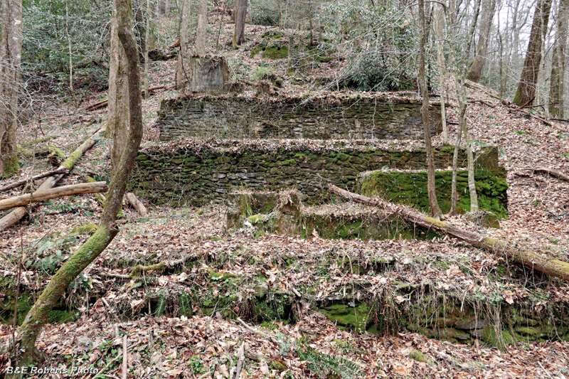
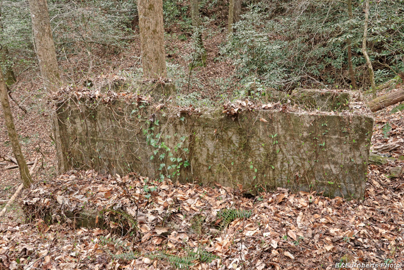
| Back to the old stamp mill ruins... I'd posted pics before of this multi-level stone & concrete ruin on a slope across from the mine. |
|
 |
|
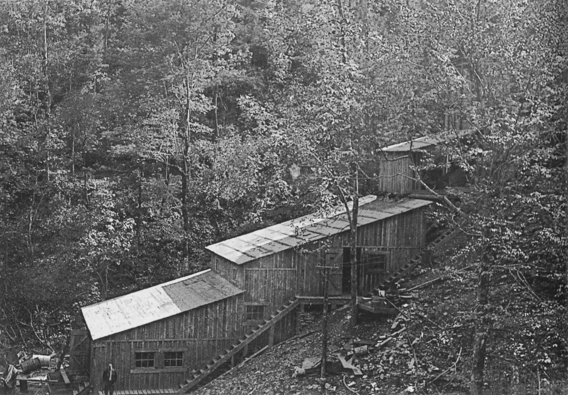
| The same structure, when the mine was in operation. The Franco-American Mine stamp mill in the 1930s. (Photo courtesy of Georgia Archives and Matt Gedney's Living on the Unicoi Road.) |
|
 |
|
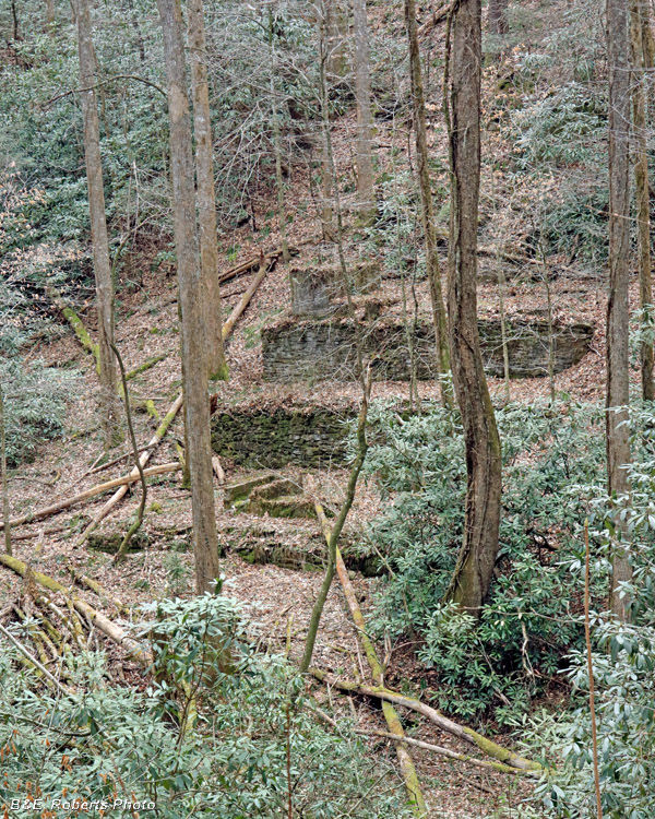
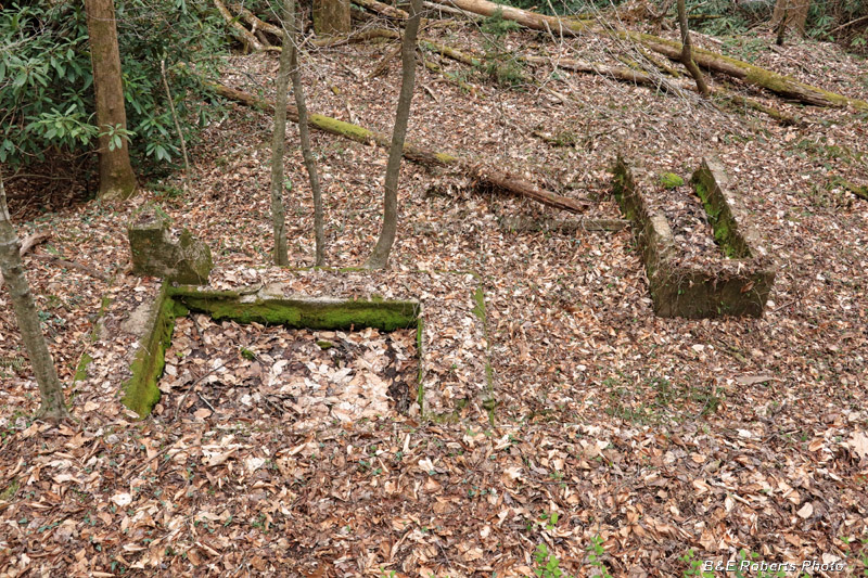
| Another view of the mine's mill ruins... I couldn't get the same view as the previous image due to tree obstructions... I took a few more photos of sections of the ruins, since the lighting hadn't been optimal on my earlier photo visit: |
|
 |
|
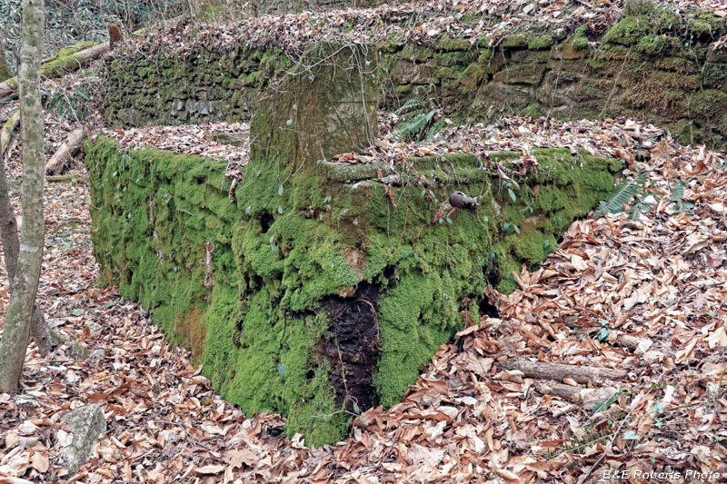
| Corner structure |
|
 |
|
| Ruins |
|
 |
|
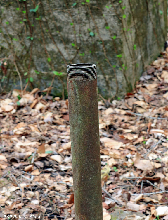
| Old pipe coming out of the ground... |
|
 |
|
| Looking down toward the base |
|
 |
|
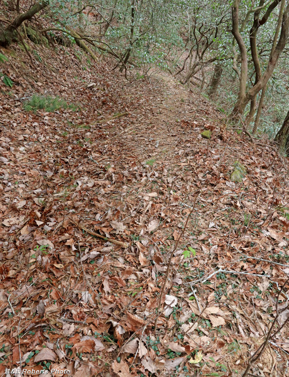
| This area had its own water ditch, the Horton Ditch. Due to its current use as a trail, this section is much flattened out nowadays. |