| Thompson Mine - North End White County, GA |
All Text & Images: Copyright (2023) |
| Thompson Mine - North End White County, GA |
All Text & Images: Copyright (2023) |
| North side of the mine, including evidence of the White County Stamp Mill. Several adits can still be seen in this area of the mining operation; other adits and shafts at this location are no longer accessible. |
|
 |
|
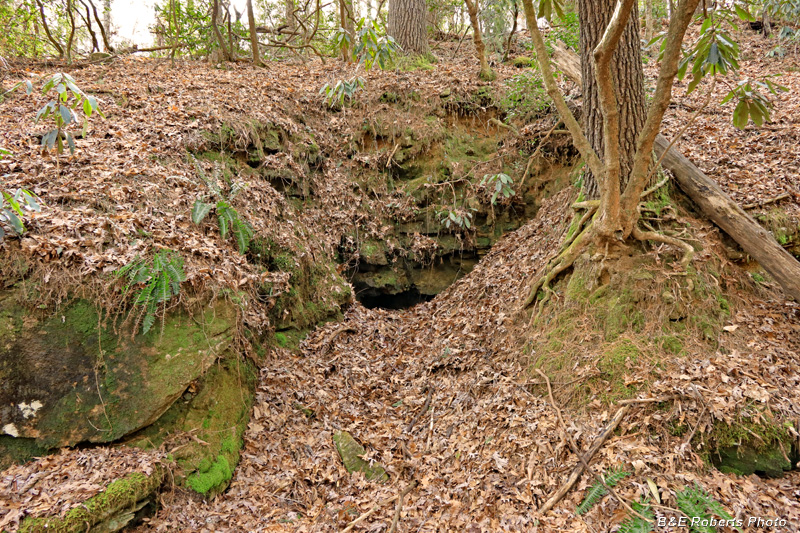
| Mouth of adit P35B |
|
 |
|
| The mouth is partially slumped, but could still be entered. |
|
 |
|
| I didn't bother, since it is only about 15 feet deep. |
|
 |
|
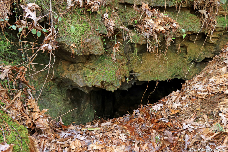
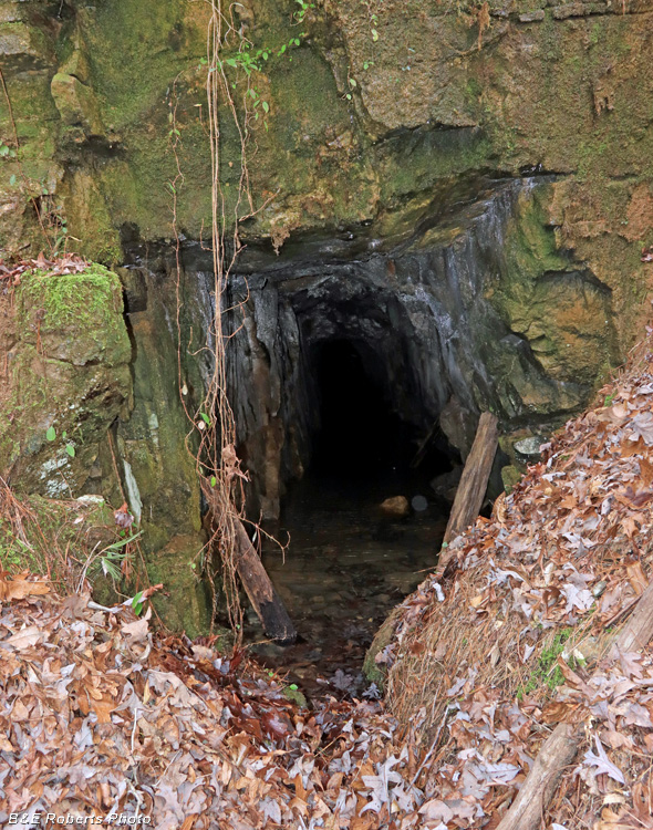
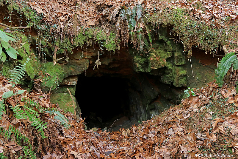
| The mouth of another adit (P35A) is about 40 feet away. |
|
 |
|
| This adit is larger, but the floor is covered with water. |
|
 |
|
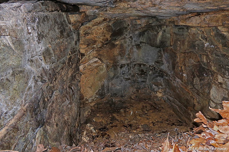
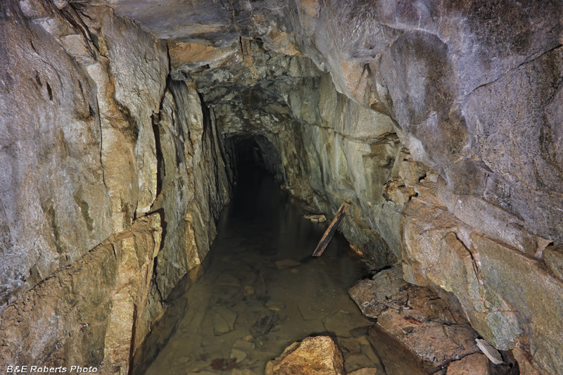
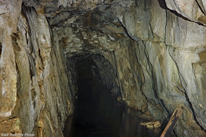
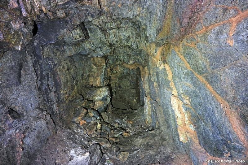
| View into water filled adit P35A According to Mr. Joe Franklin, who resided nearby (in 1964), "the adit extends well into the hill." |
|
 |
|
| Zoomed a little further into the adit / tunnel... |
|
 |
|
| Not far away are remains of the White Co. Stamp Mill |
|
 |
|
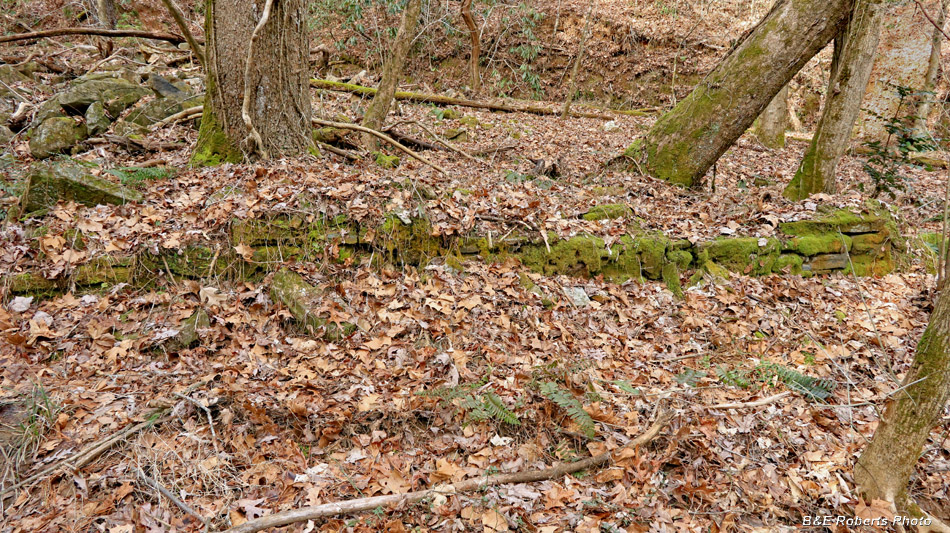
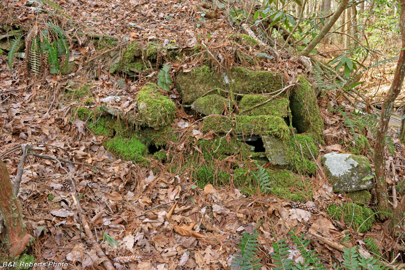
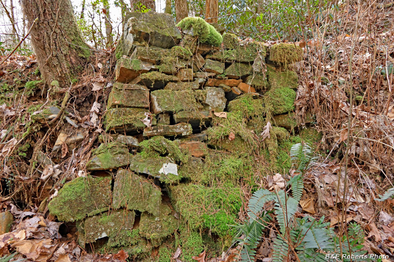
| Section of the Stamp Mill's foundation |
|
 |
|
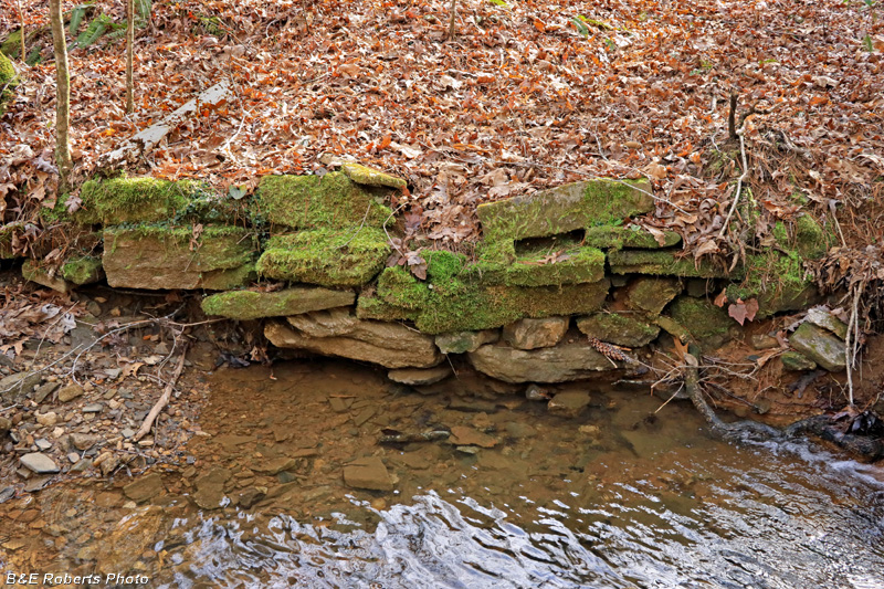
| A rock corner near the creek, covered with pine straw & leaves... |
|
 |
|
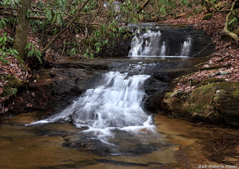
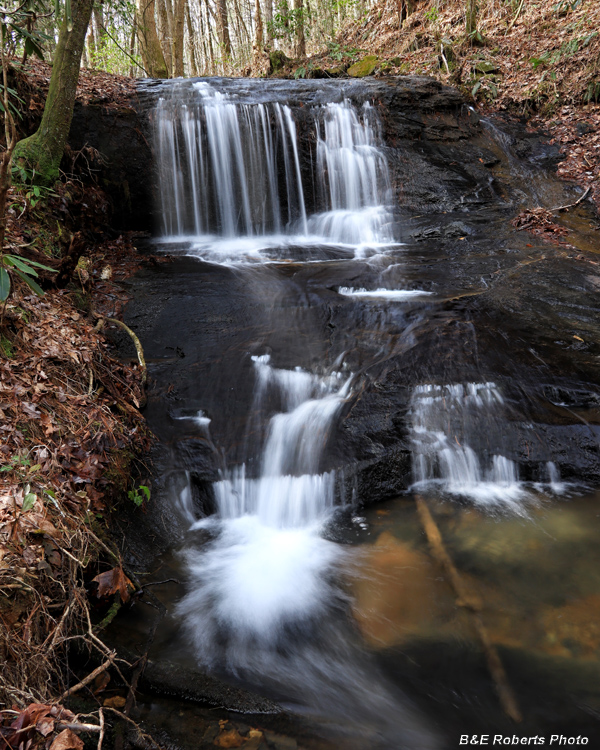
| A series of pretty little waterfalls runs through the area. This is one of the lower cascades. |
|
 |
|
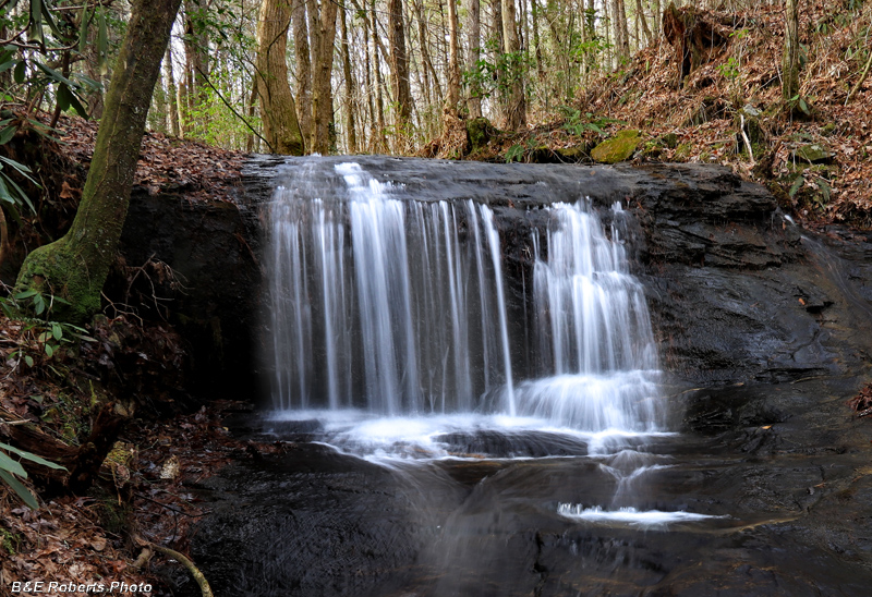
| Upper falls |
|
 |
|
| Upper falls, with a cascade downstream... |
|
 |
|
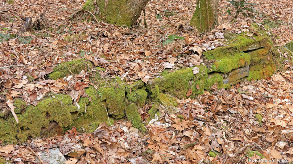
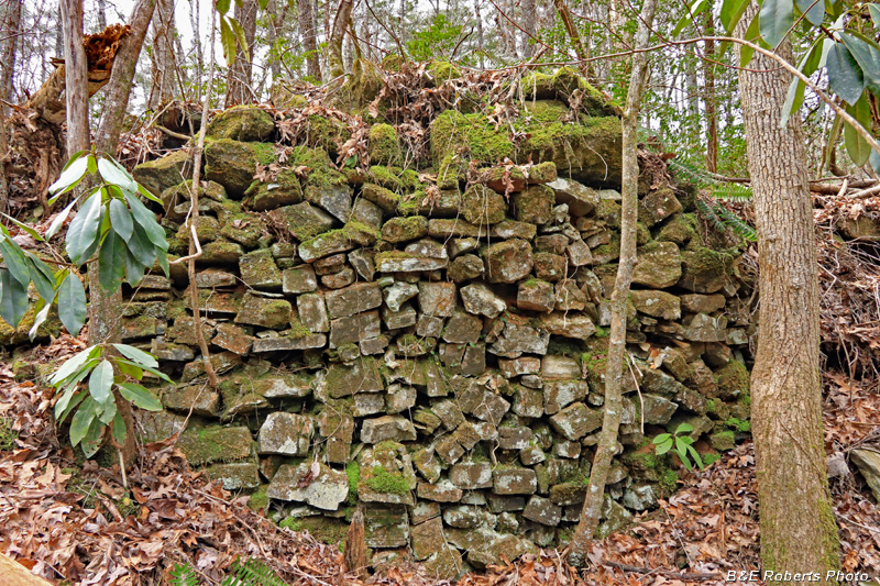
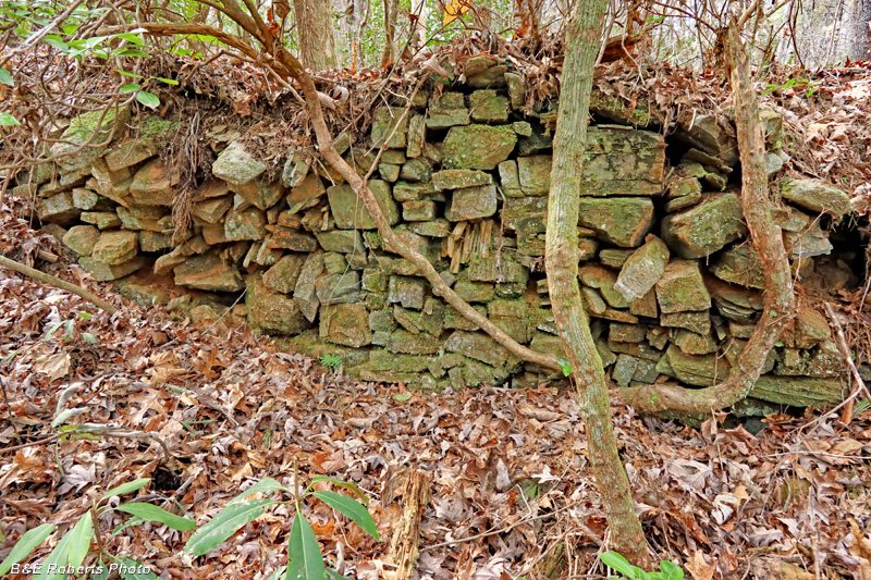
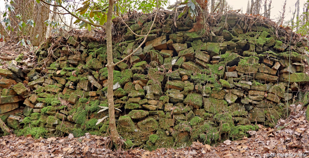
| Evidence of the stamp mill consists of a series of rock-faced terraces and earthen banks. |
|
 |
|
| The walls were on several levels of a ridge slope. |
|
 |
|
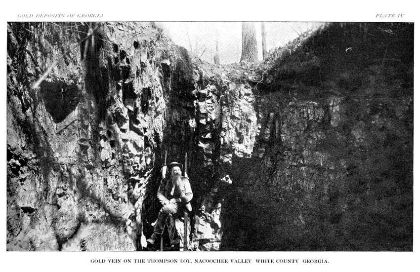
| I would love to find an old photo of the stamp mill. |
|
 |
|
| It must have been quite an operation, judging by all the walls and various levels. |
|
 |
|
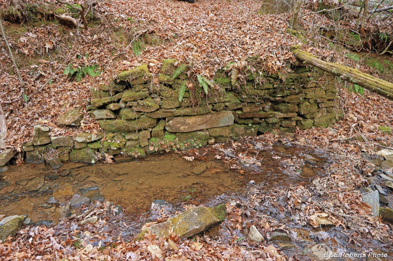
| One side of an old bridge abutment over the creek.. |
|
 |
|
| Abutment on the opposite bank. |
|
 |
|
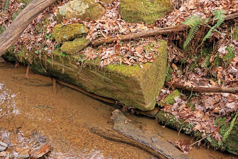
| Large stone block at creek level... |
|
| After closer study of the mining reports and map, I had determined that there might be more to see at the site. Several of the old shafts and a tunnel were completely caved in, but I did locate two more adits. |
|
 |
|
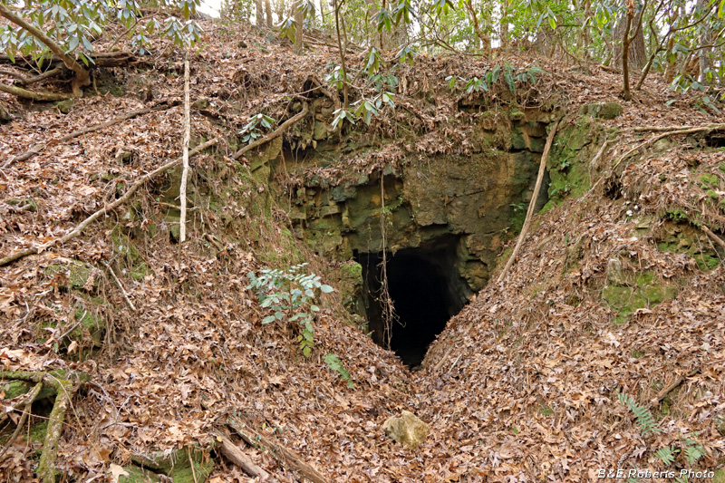
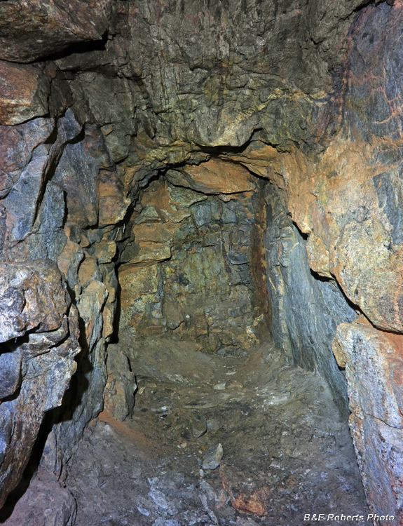
| Behind some rhododendron, I saw the mouth of adit P35D |
|
 |
|
| Unfortunately it was only about 50 feet deep. |
|
 |
|
| End of the tunnel. |
|
 |
|
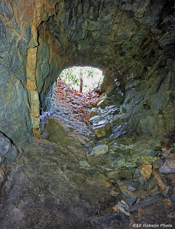
| Looking back to the tunnel entrance. |
|
 |
|
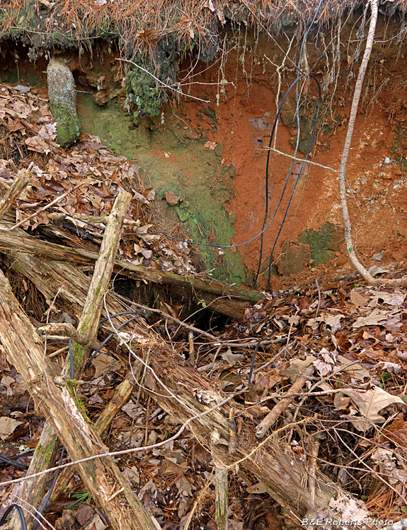
| This is probably the mouth of P35E, a 65 foot long adit. It is partially slumped, but the opening is large enough that a person could enter if the mouth wasn't covered with logs, branches and other brush. |
|
 |
|
| Early photo at the Thompson Mine |