South end of the mining area.
The most interesting feature still found in this part of the operation is a multi-adit tunnel;
other adits / shafts were also at this location, but are covered and no longer accessible.
|
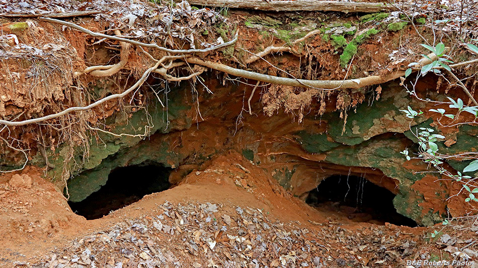 |
Twin adits at tunnel P35I
There was originally a single entry to these adits, but the ceiling at the front of
the tunnel mouth collapsed just past the point where these two adits split.
|
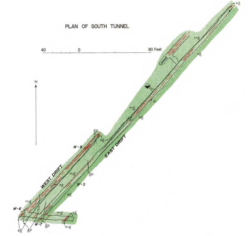 |
Plan of the tunnel showing adit 1 (labeled as West Drift), adit 2 (labeled
as East Drift), and adit 3 (the short unlabeled adit at bottom of plan).
|
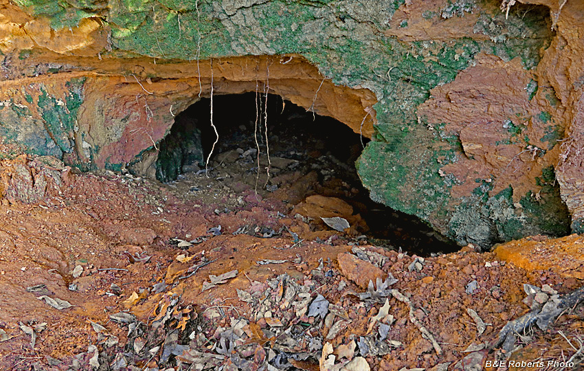 |
I entered the right hand opening, since it was the longest tunnel.
Both openings are somewhat slumped, not quite two feet high,
so one must get down and slide down into the tunnel floor.
|
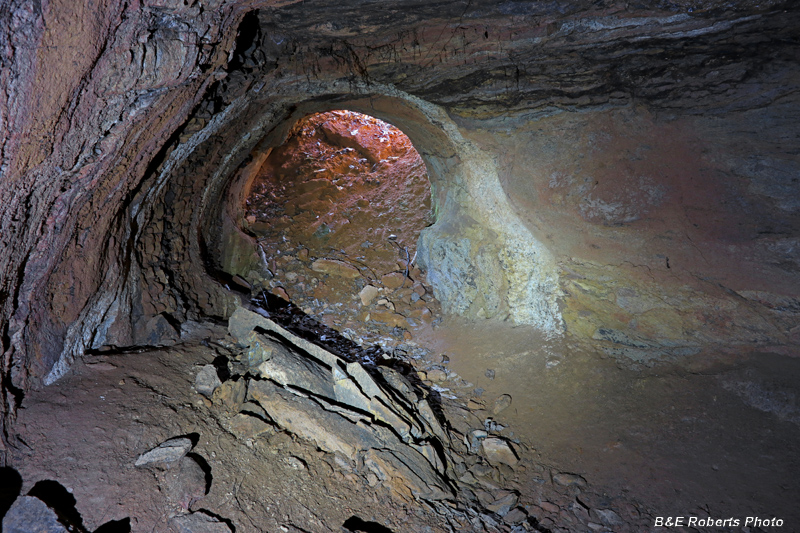 |
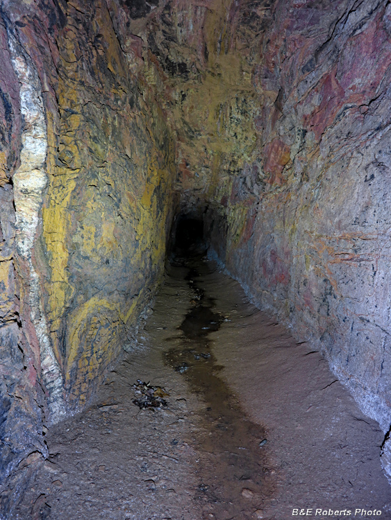
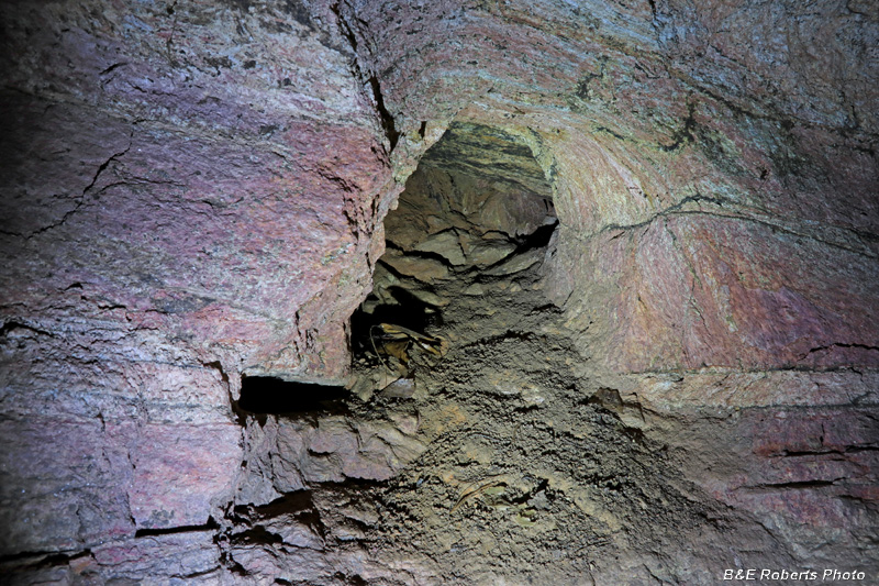
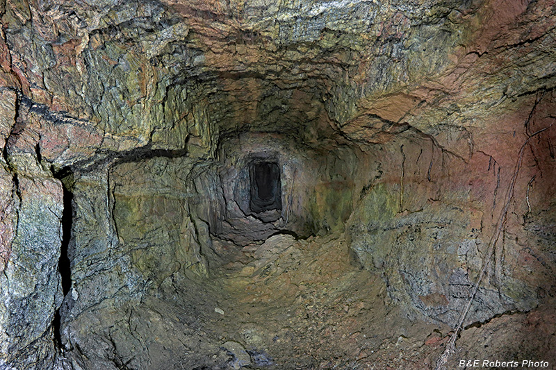
After entering the tunnel, this is the view back toward the entrance.
This is the point where the tunnel immediately splits into two adits:
the short adit 3 is behind me, adit 2 leads off to the lower right.
|
 |
I checked out adit 3 first, only about 40 feet long.
It was kind of foggy at its far end.
|
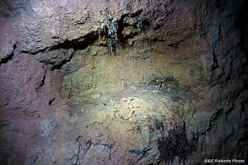 |
One often finds these "shelves" cut into the tunnel
walls, where the miners placed their lanterns.
Nowadays, you often find an old bird's nest or a squirrel's cache of acorns.
|
 |
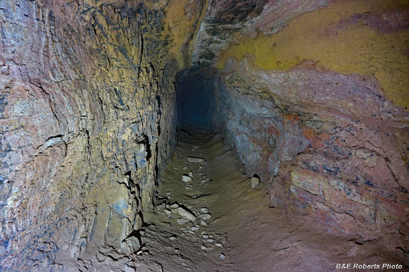
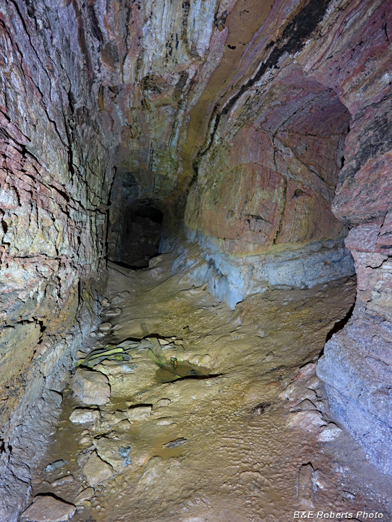
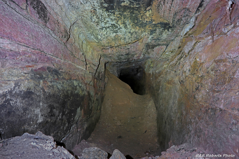
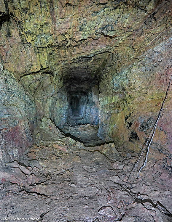
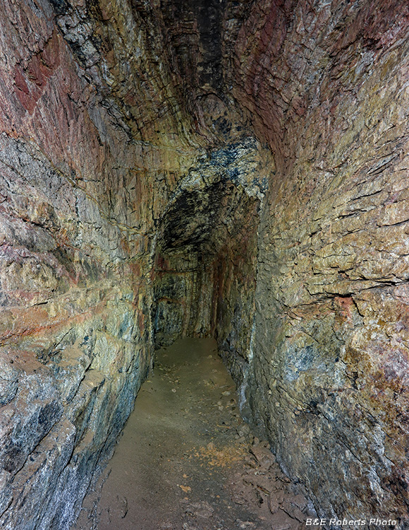
Starting down the main tunnel (adit 2).
Ahead, it made a slight curve to the left, which doesn't show on the layout...
|
 |
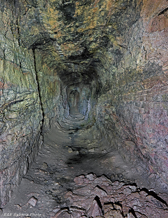
Further along...
Adit 2 (The East Drift) is approximately 340 feet long.
|
 |
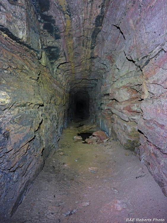
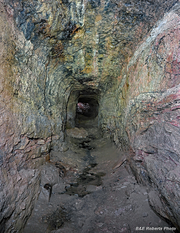
Continuing...
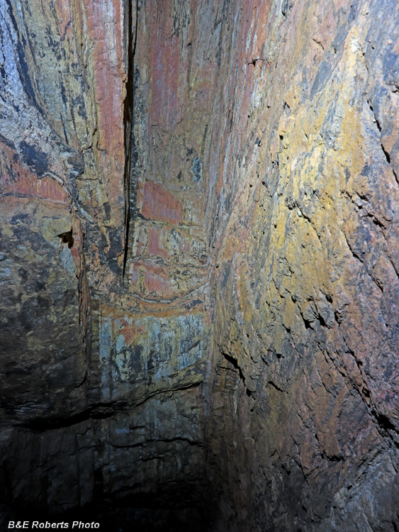
I'm always amazed at the variety in mineralization colors.
|
 |
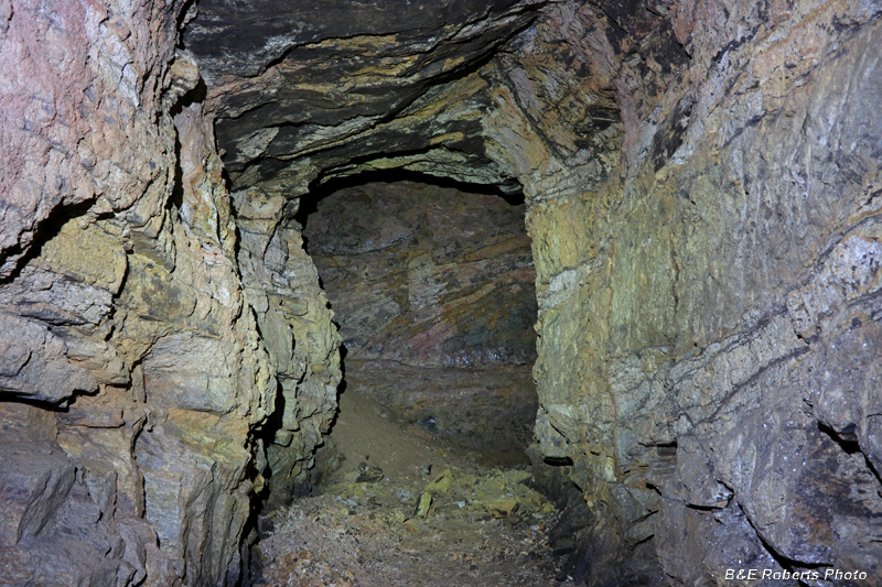
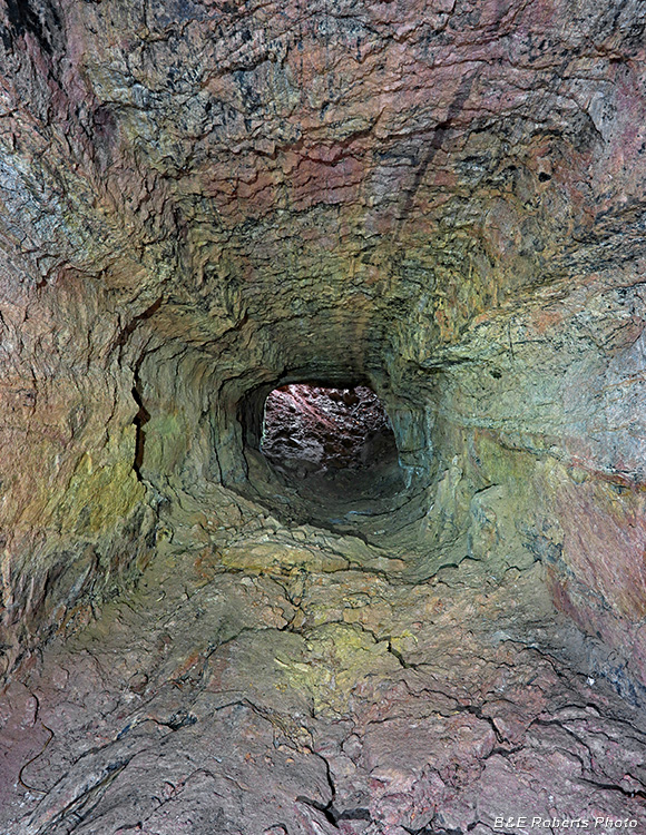
A side drift on the right extended about 8 feet.
|
 |
Just past that, a pocket had been cut to the left and upward...
|
 |
A partial ceiling cave-in...
|
 |
Another side pocket, heading upward...
|
 |
What appears to be another cave-in ahead is actually dirt from a long
collapsed vertical shaft that intersected the left side of the tunnel.
From my calculations, I think that filled shaft is close to the property owners' house.
|
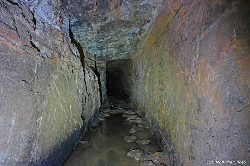 |
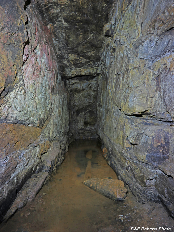
Going through a wet area.
On the left ahead you can just make out the connecting tunnel to adit 1.
|
 |
View through the cross tunnel to adit 1.
|
 |
Walking through the cross tunnel and turning right, one sees the end of adit 1..
|
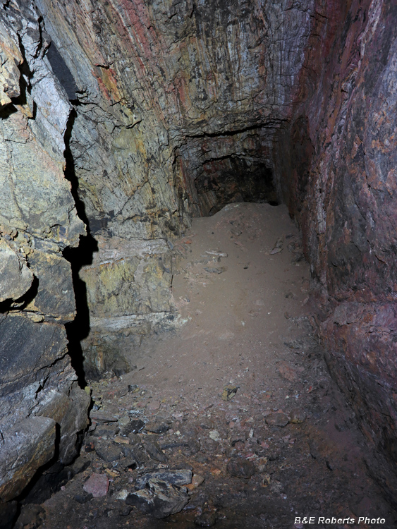 |
Turning around and looking back down adit 1,
the tunnel is mostly filled with earth.
This was not a cave-in, as the ceiling is intact. When the miners finished with one adit, they would
often fill it with the debris from the next adit, rather than have to haul it all the way out the tunnel.
Peaking over the top of this dirt fill, I saw something move! It turned out to be a possum.
|
 |
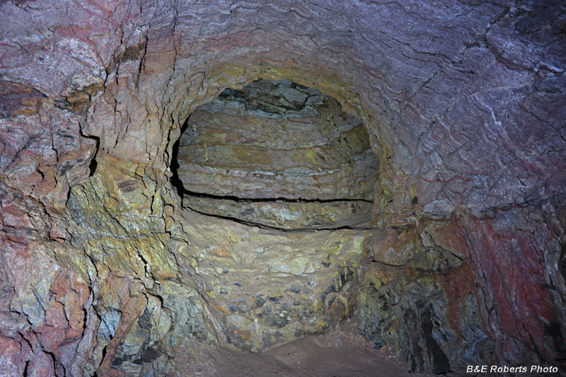
Back in adit 2, an area of the tunnel had a 3 foot wide section of the ceiling
that extends about 12 feet beyond the regular 6+ foot height of the tunnel.
I guess technically this would be considered a small stope.
|
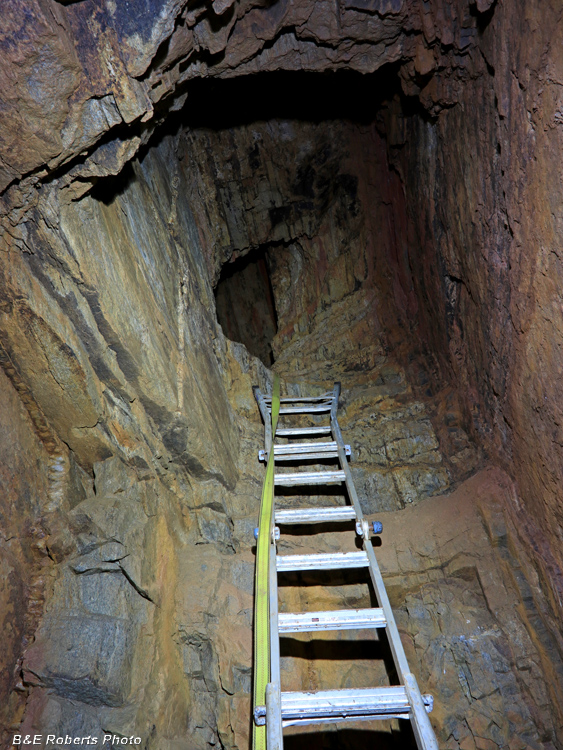 |
After another wet area, I came to the end of adit 2.
A previous land owner had left a 12 foot ladder that led up to hole!
I didn't climb the ladder for several reasons: it looked precarious, resting on a slope of wet mud,
and fronting foot-deep water. Also, it was one of those sketchy convertible step ladders, which
when configured as a straight ladder has half the rungs upside down. I was wearing rubber boots
with flexible soles and didn't want the sharp rung edges jamming into my not yet fully healed foot.
|
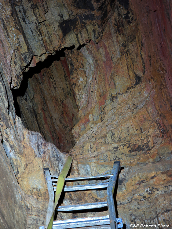 |
Closer view of the hole.
The property owner described it as just a small "crows nest".
|
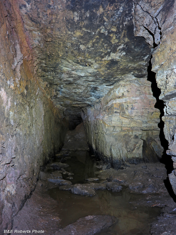 |
Heading back, another view down adit 2,
with the cross tunnel connector to the right.
|
Some other items of interest were found adjacent to the mining areas:
|
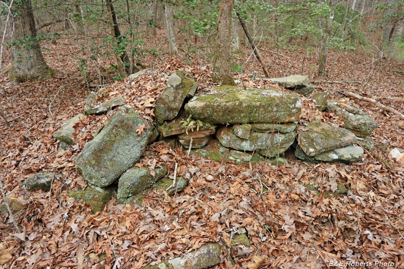 |
Remains of a chimney at what was supposedly a trading post / store near the mine.
|
 |
Locals hauled off the rest of the chimney rocks decades ago.
|
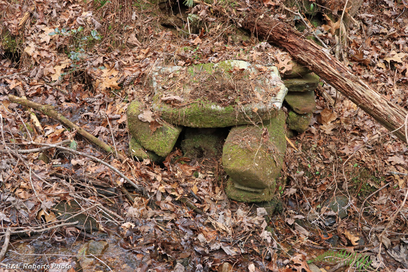 |
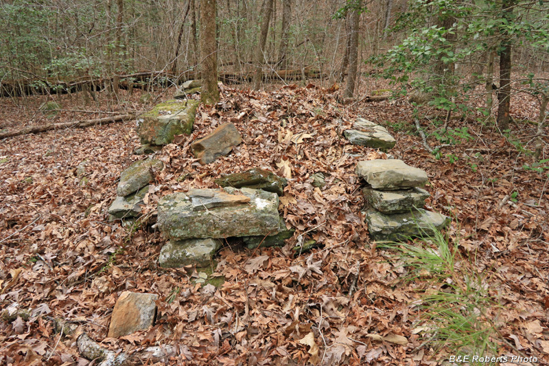
I'm not sure what this structure is, right at creek level.
Perhaps the end of a small dam. It looks similar to some still fireboxes
I have seen, but you wouldn't build a still fire at water level.
|
On my first visit to the South tunnel, I didn't have time to explore the West Drift (Adit 1).
A few weeks later, after photographing another site, I returned to document that tunnel.
|
 |
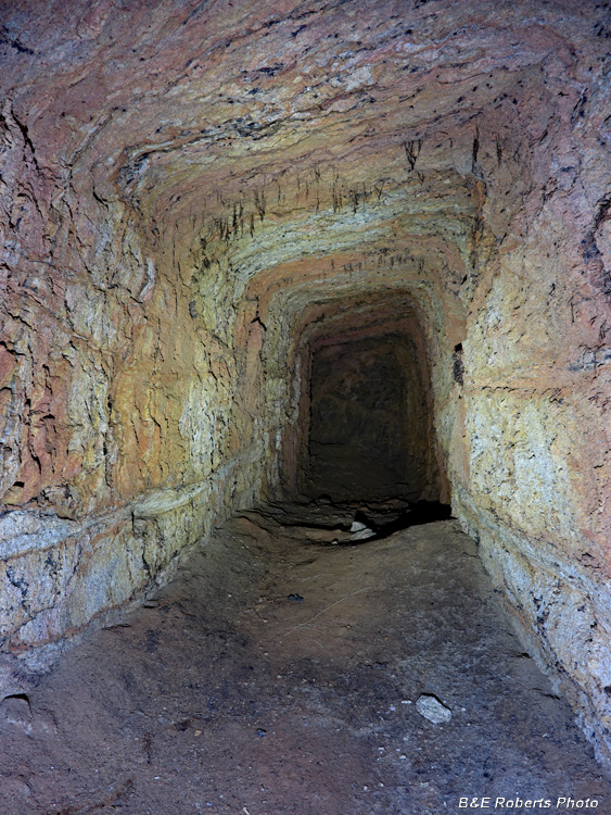
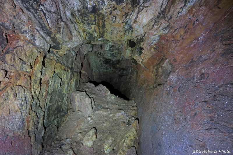
Crawling down the partially slumped mouth, I started along the adit.
The front section of the tunnel is particulary wide for the first 20 feet or so.
|
 |
Then it narrows to "standard" width (about 4 feet).
|
 |
Further on...
|
 |
Adit 1 is only about 120 feet long.
|
 |
Heading back...
|
 |
Almost back to the tunnel entrance...
|