| ~ FALL 2012 PHOTOS ~ New Hampshire, Vermont, Cape Ann & more |
All Text & Images: Copyright (2012-2013) |
| ~ FALL 2012 PHOTOS ~ New Hampshire, Vermont, Cape Ann & more |
All Text & Images: Copyright (2012-2013) |
 |
|
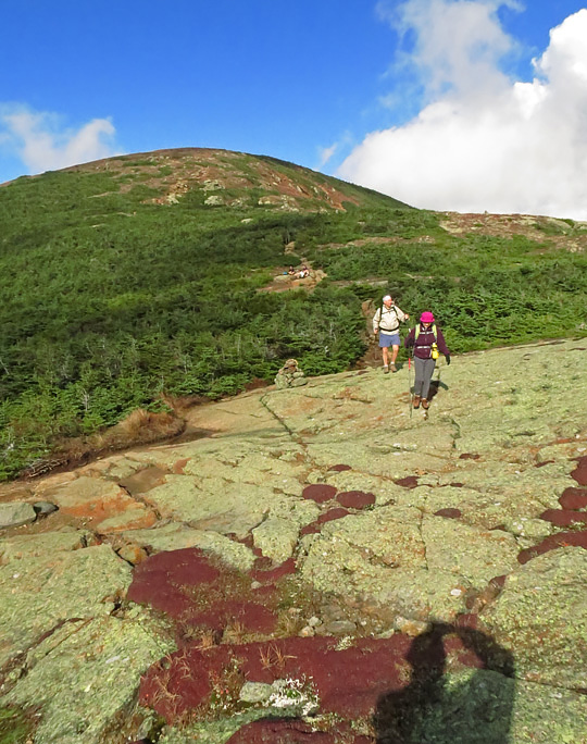
| Along the Crawford Path, Mt. Eisenhower in rear. Look at how clear it is up there now! |
|
 |
|
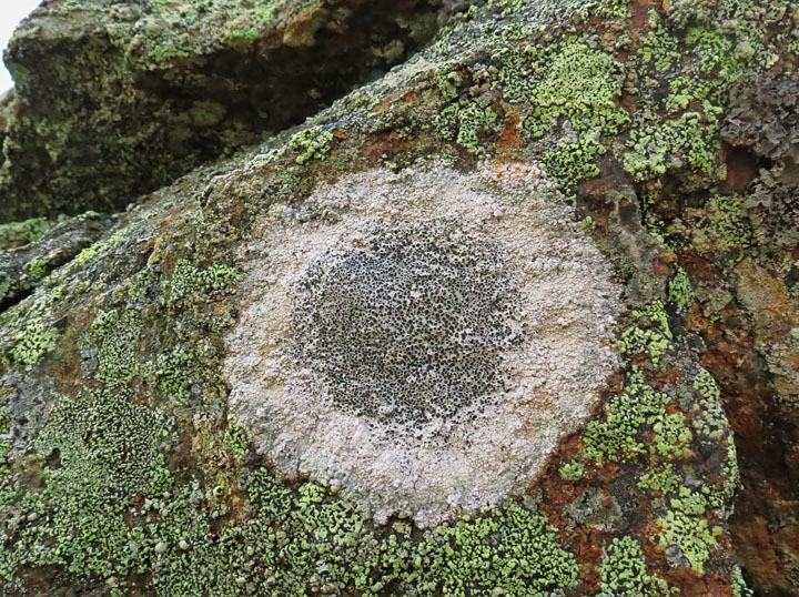
| I was "lichen" this spore... (groan) |
|
 |
|
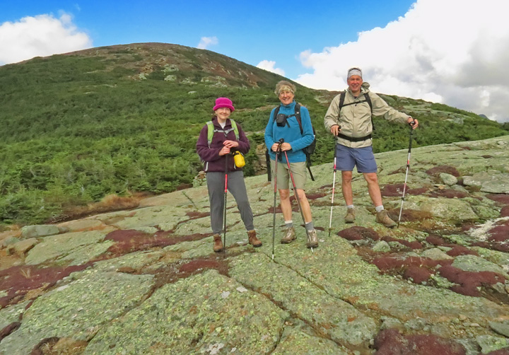
| Posing on some ledge... |
|
 |
|
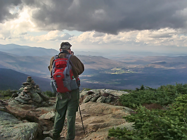
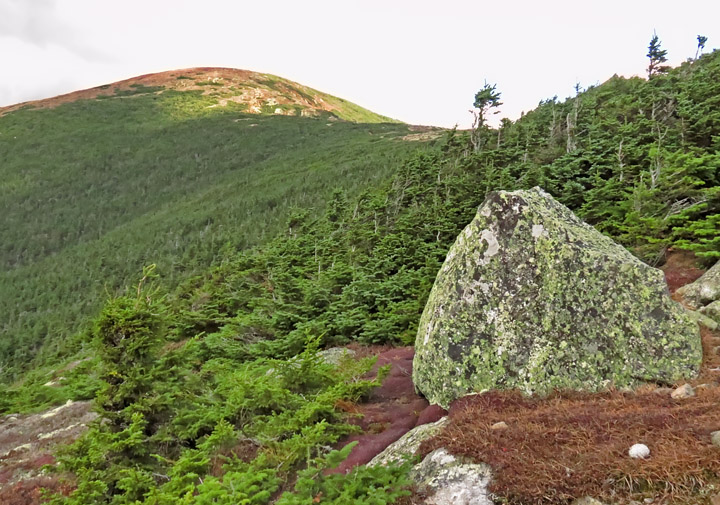
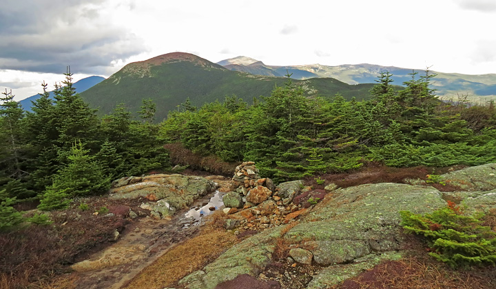
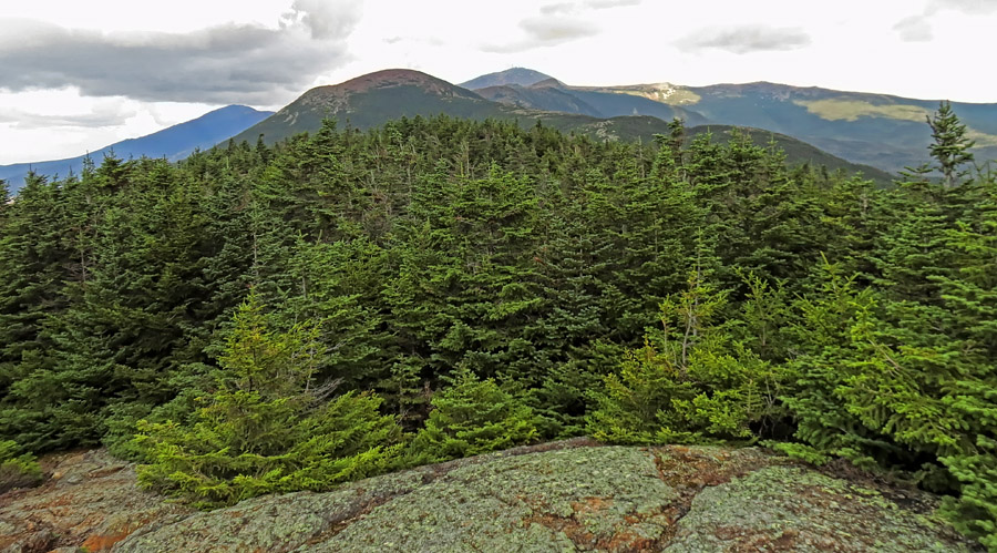
| View west from col between Eisenhower and Pierce |
|
 |
|
| Taking the previous pic... |
|
 |
|
| Continuing on... |
|
 |
|
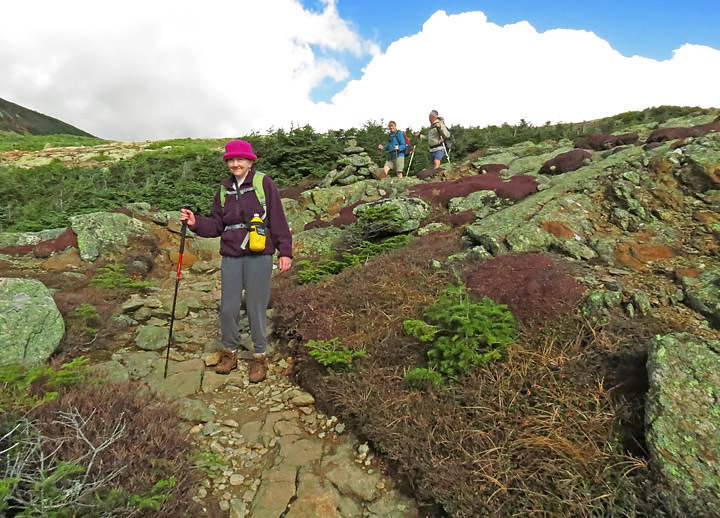
| The Crawford Path follows the broad ridge between Mts. Eisenhower and Pierce. |
|
 |
|
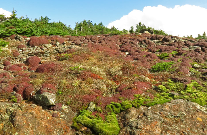
| More trailside tundra |
|
 |
|
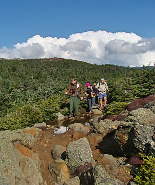
| Making our way through a wet area... |
|
 |
|
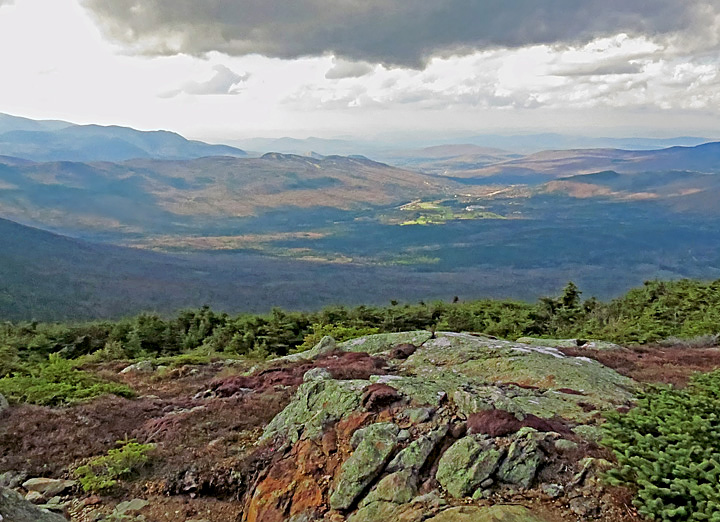
| View back at Mt. Eisenhower. |
|
 |
|
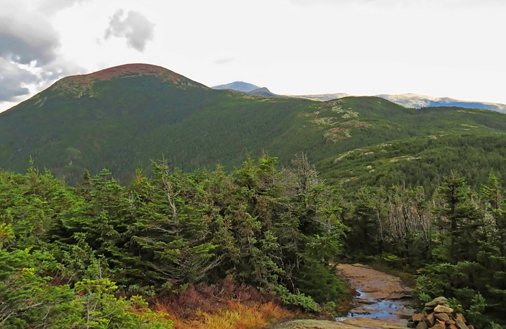
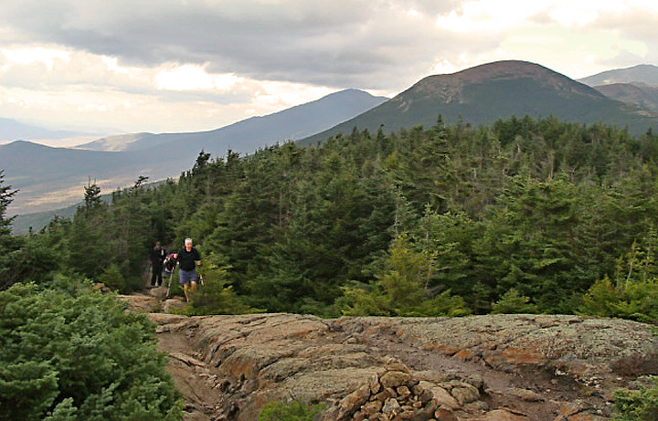
| As the trail started climbing Mt. Pierce, we were finally able to see Mt. Washington. (just to the right of Mt. Eisenhower) |
|
 |
|
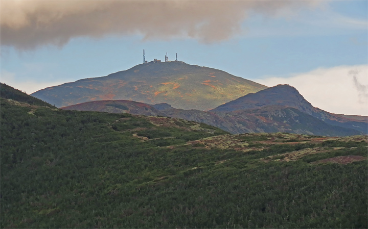
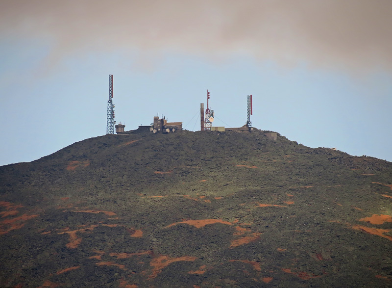
| Zoomed in on Mt. Washington. |
|
 |
|
| MWOB instruments on the summit |
|
 |
|
| Looking back down Crawford Path |
|
 |
|
| Ascending Mt. Pierce |
|
 |
|
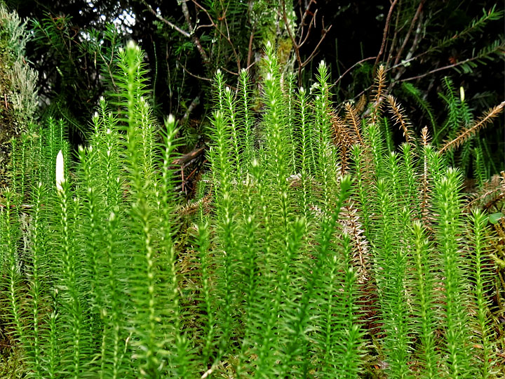
| Club Moss |
|
 |
|
| North-east view from Mt. Pierce Boott Spur extends on right horizon from Mt. Washington |
|
 |
|
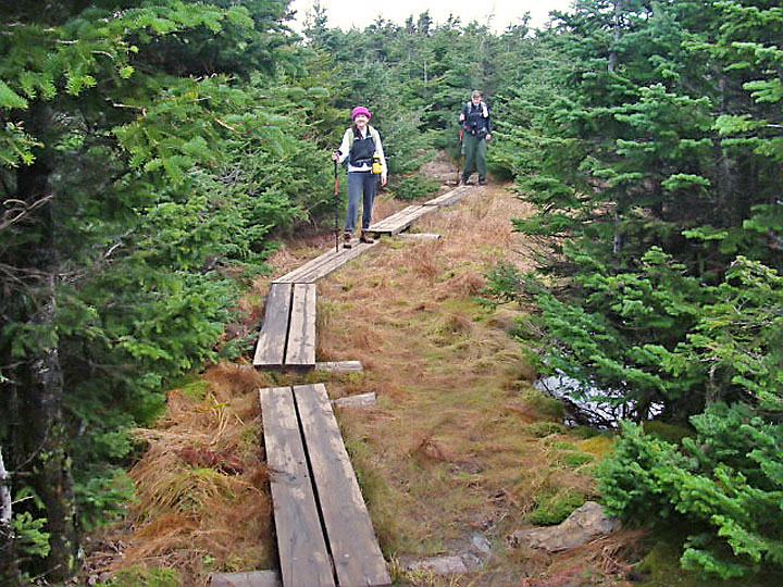
| Boardwalk across a boggy area |
|
 |
|
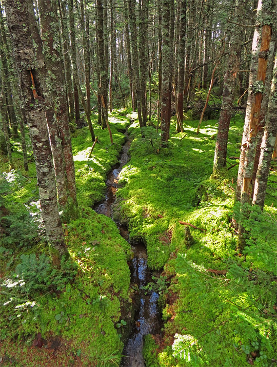
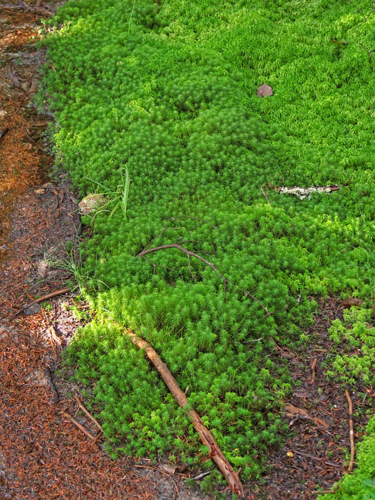
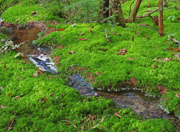
As the Crawford Path descends to the Notch, it passes through several beautiful mossy areas... |
|
 |
|
 |
|
 |
|
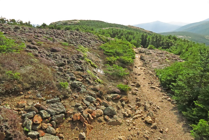
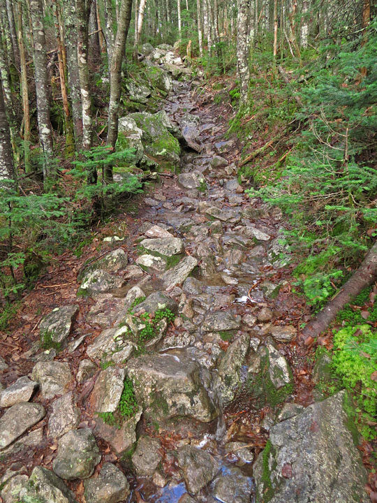
| Typical section of Crawford Path |
|
 |
|
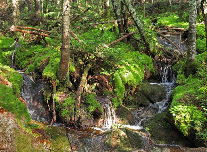
| Two cascading creeks meet alongside the Path. |
|
 |
|
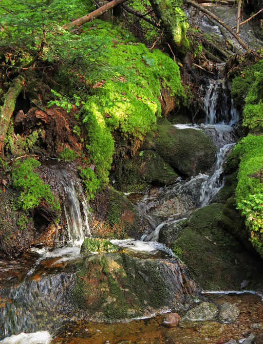
| Mossy Cascade |
|
 |
|
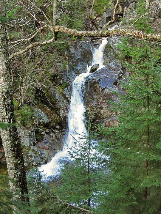
| Gibbs Falls, just off the Crawford Path |
|
 |
|
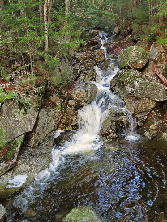
| Cascade at Gibbs Brook foot-bridge |