Two more explorations in the Wilderness Area:
1 - Discovery of a large rock cave, and
2 - A climb to Shooting Creek Bald
1 - December 2017
Images from a hike with Molly to check out a Google Earth
indication on the mountainside above our property.
|
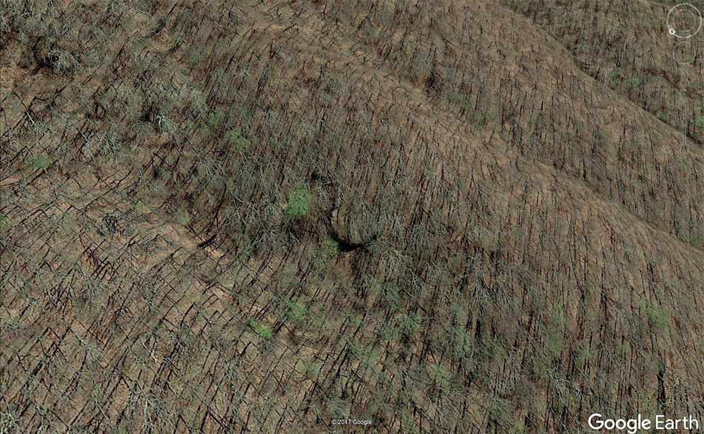 |
This was the indication that piqued my curiosity...
|
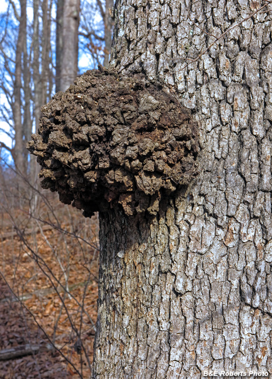 |
Tree gall, on the way up
|
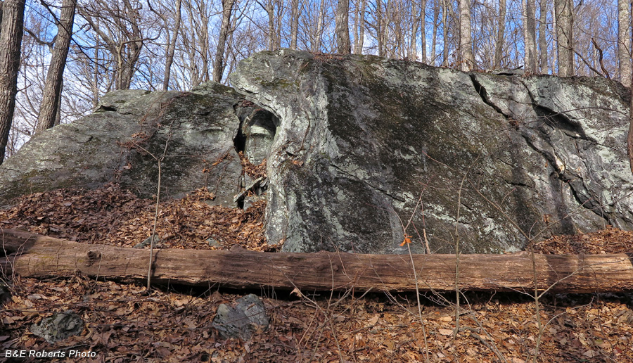 |
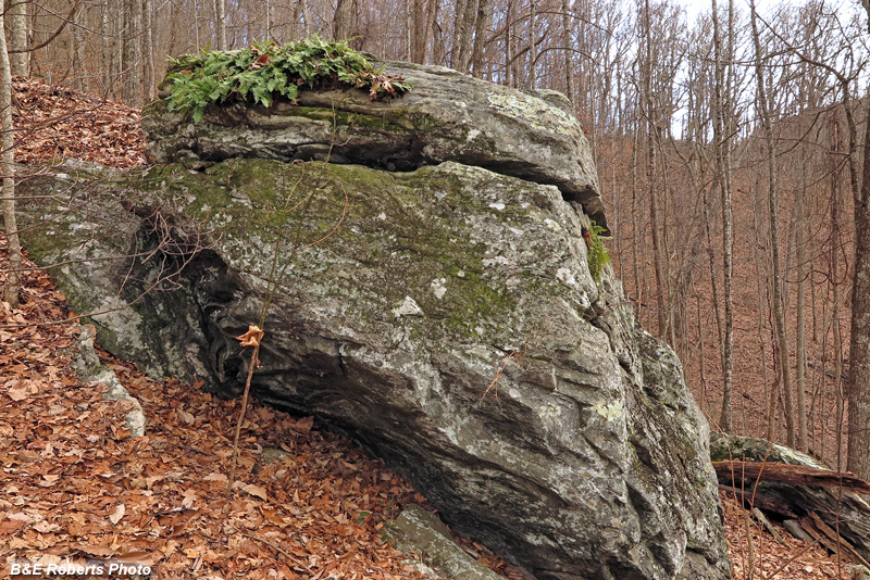
Huge boulder
I had marked the coordinates for the satellite indication on my PC, but somehow
neglected to add it to my phone GPS app. I knew the approximate location, and as
I gained elevation, I noticed some large boulders across a steep cove from a ridge.
|
 |
Folds in the rocks...
|
 |
Another boulder on the steep slope
But I didn't really think that these boulders were what I was seeing in the satellite view...
|
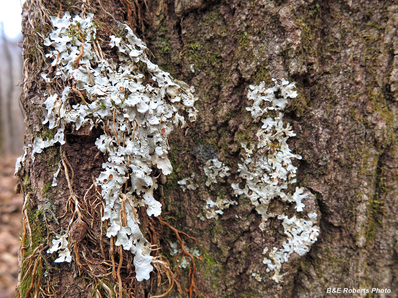 |
Tree lichens
|
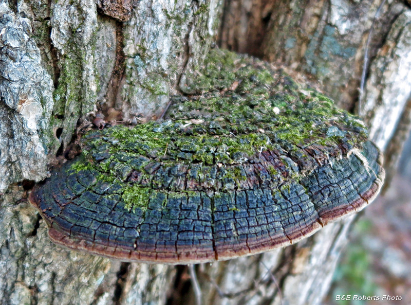
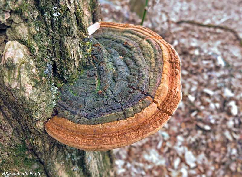 |
Dried, but colorful, bracket fungi
Maybe a Cracked Cap Polypore (Fulvifomes robiniae)
|
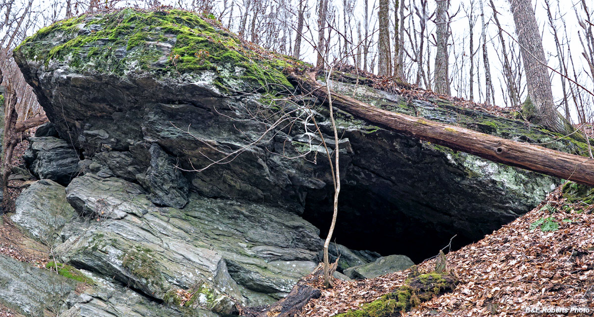 |
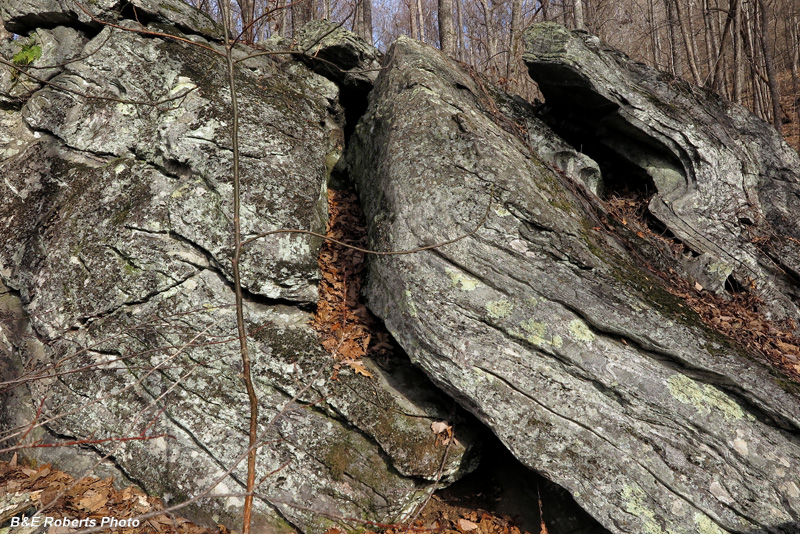
While looking down the cove, I noticed a huge boulder / ledge on the STEEP side
of the far ridge. Aha, THIS was the landform in the satellite indication. Climbing
down, then up, I saw that a hole on the right side went back a ways into darkness.
|
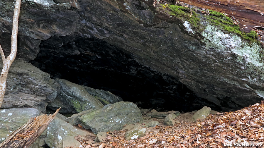 |
Rock shelter / Cave-hole
With hibernation underway, but a warm day, I didn't
venture inside to see if there was a bear in there...
|
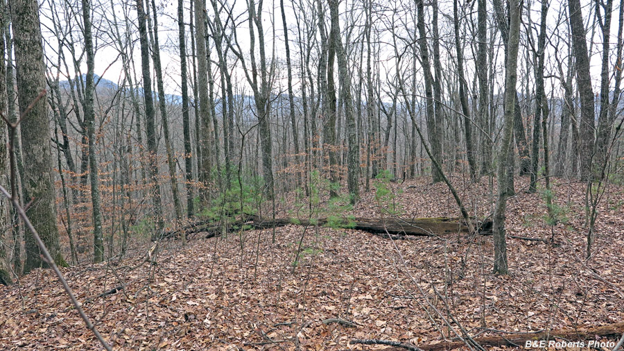 |
On my return, I came across a vague old logging road along a ridge top.
|
2 - Another late December 2017 exploration:
A climb up to Shooting Creek Bald on the High Cove Ridge, via Eller Gap.
|
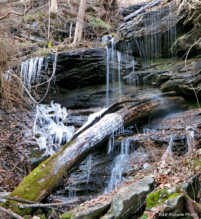 |
A high elevation creek gorge
|
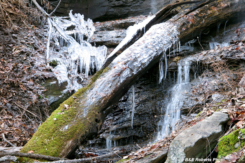 |
Closer view of some frozen water.
This was a few days before the frigid temperatures that moved in with the New Year.
|
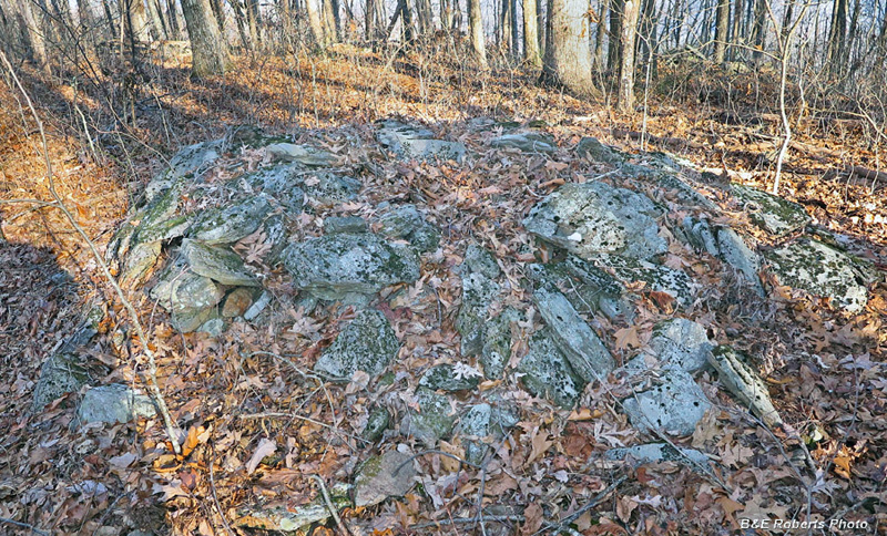 |
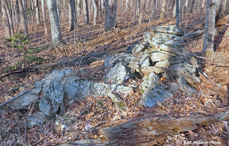
Two of 8 or 9 rock mounds, plus a stone circle, in a stone pile complex of about 1/4 acre.
This high elevation site (a gap at 3550 feet) may or may not have Native American origins.
{The lighting was horrible (late afternoon sun through the trees) so I didn't take many photos here. I need to return.}
|
 |
|
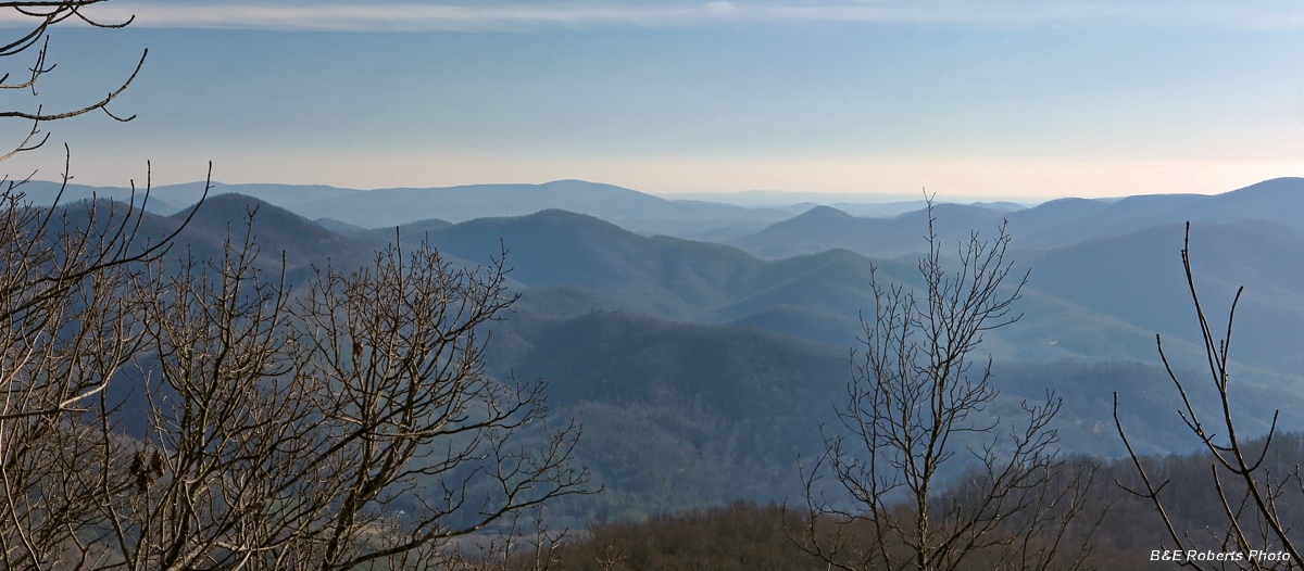 |
View south from Shooting Creek Bald
|
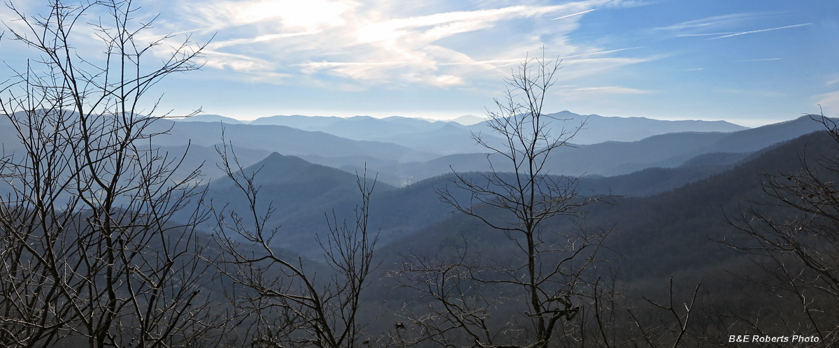 |
View SW from Shooting Creek Bald.
Brasstown Bald, Georgia's highest mountain, is visible to right of the tree near the center.
|
 |
Bracket Fungi
|