| ~ FALL 2012 PHOTOS ~ New Hampshire, Vermont, Cape Ann & more |
All Text & Images: Copyright (2012-2013) |
| ~ FALL 2012 PHOTOS ~ New Hampshire, Vermont, Cape Ann & more |
All Text & Images: Copyright (2012-2013) |
 |
|
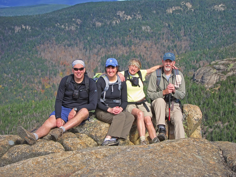
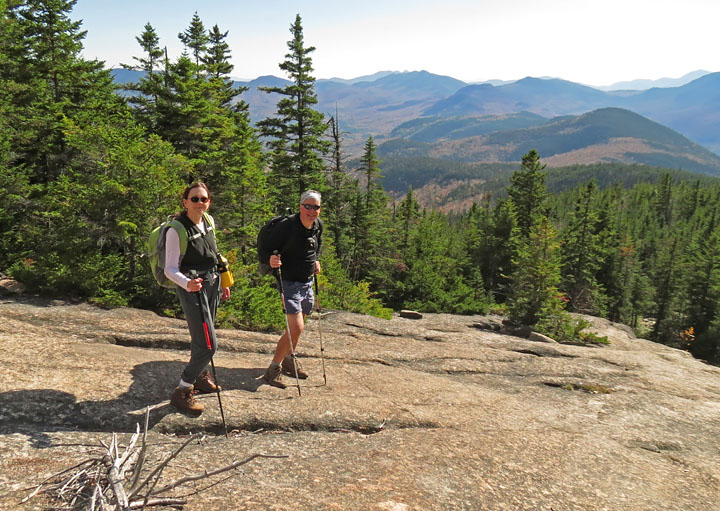
| Four siblings at summit |
|
 |
|
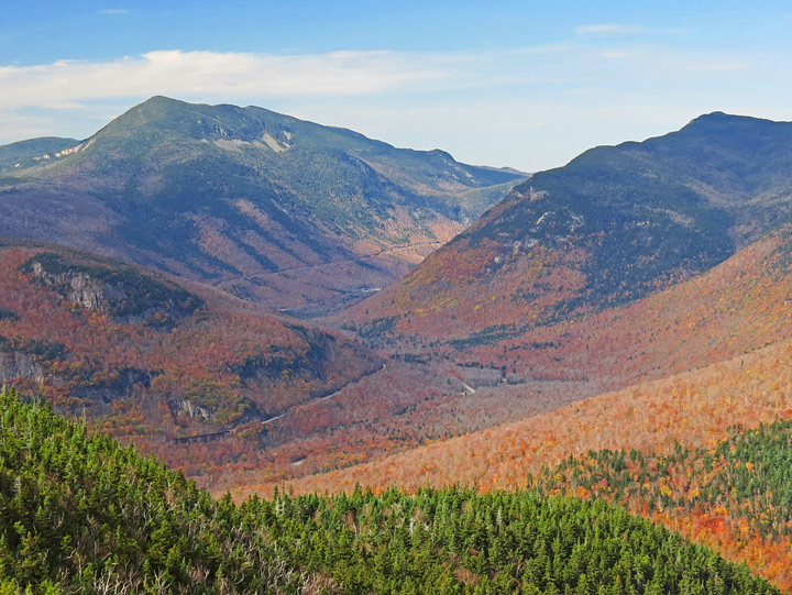
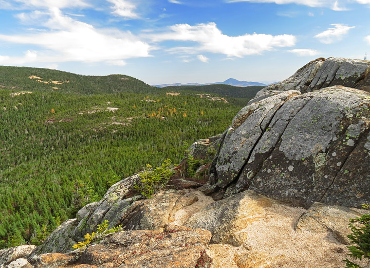
| View into Crawford Notch |
|
 |
|
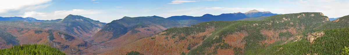
| Western Panorama - about 180 degrees of view from L-R on horizon: Franconia Range; Mt. Willey; Crawford Notch; Mt. Webster; Southern Presidential Range to Mt. Washington; Stairs Mtn; slope of Mt. Resolution |
|
 |
|
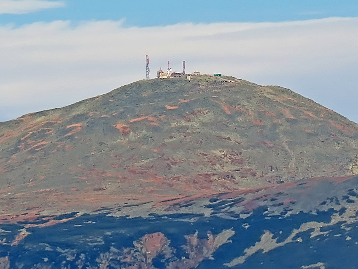
Weather observation instruments on distant Mt. Washington It looks like one of the Cog Railway cars on right side of summit... |
|
 |
|
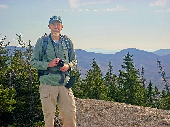
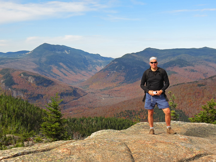
| Your host... |
|
 |
|
| View to the East; I think peak to right of center horizon is Iron Mtn. |
|
 |
|
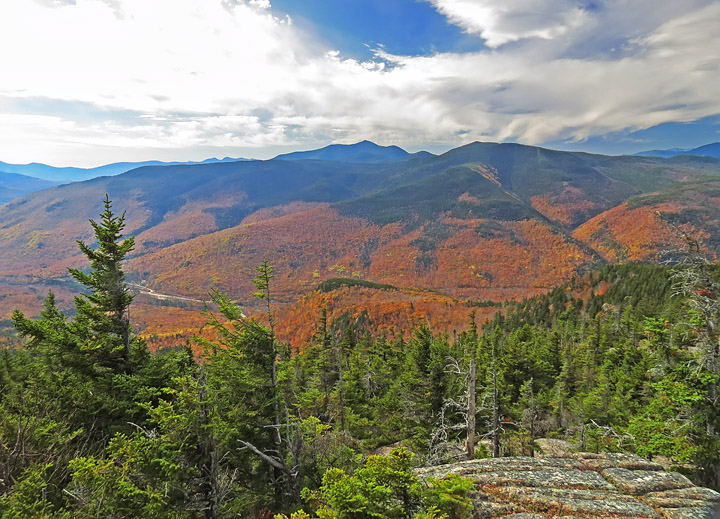
| Looking South-west (right into the sun!) Tallest peak in distance is Mt. Carrigain |
|
 |
|
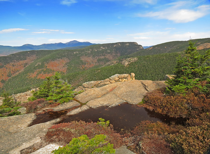
| Mt. Crawford summit view, looking north |
|
 |
|
| One last look into Crawford Notch |
|
 |
|
| Heading back down |
|
 |
|
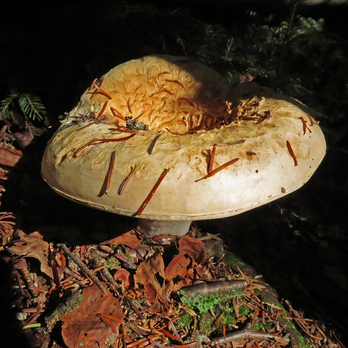
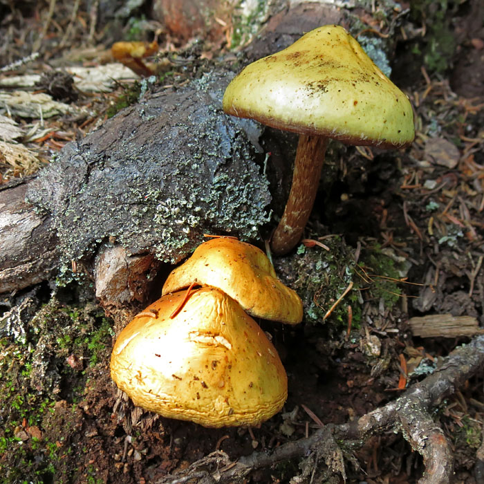
| Mushroom |
|
 |
|
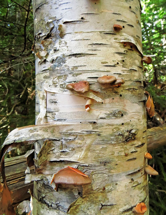
| Birch trunk |
|
 |
|
| More 'Shrooms |
|
 |
|
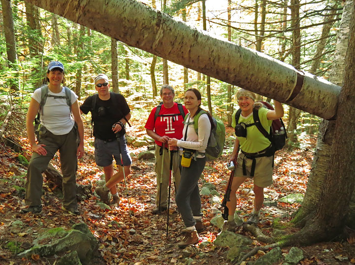
| A Birch tree had fallen over the trail |
|
 |
|
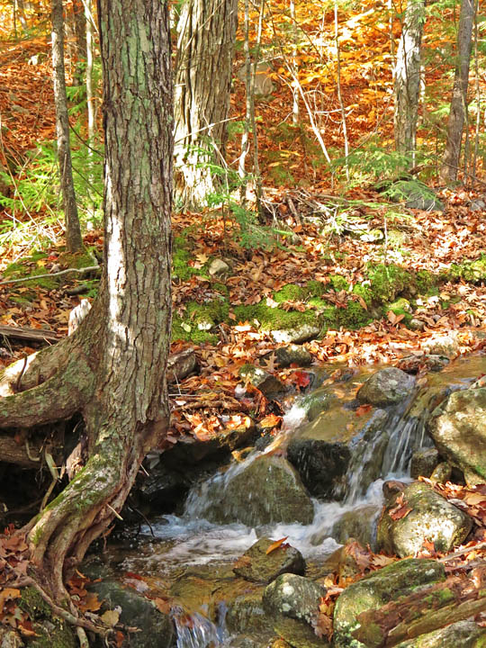
| Trailside creek |
|
 |
|
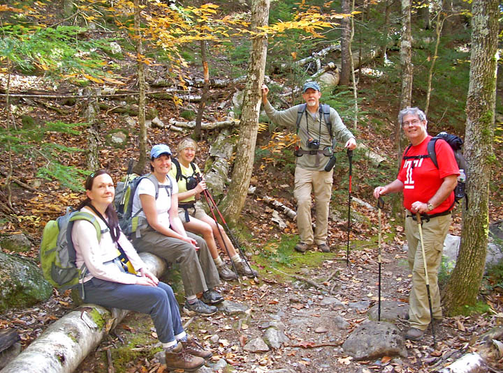
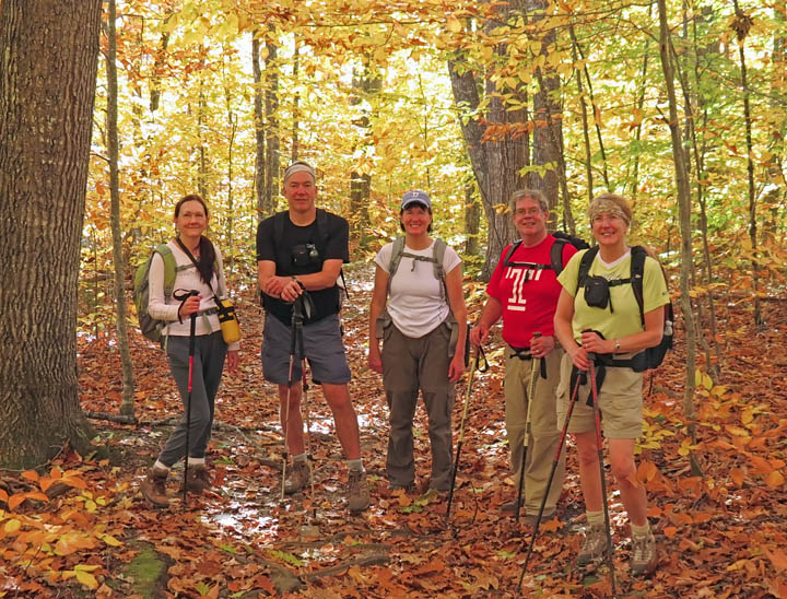
| Rest stop |
|
 |
|
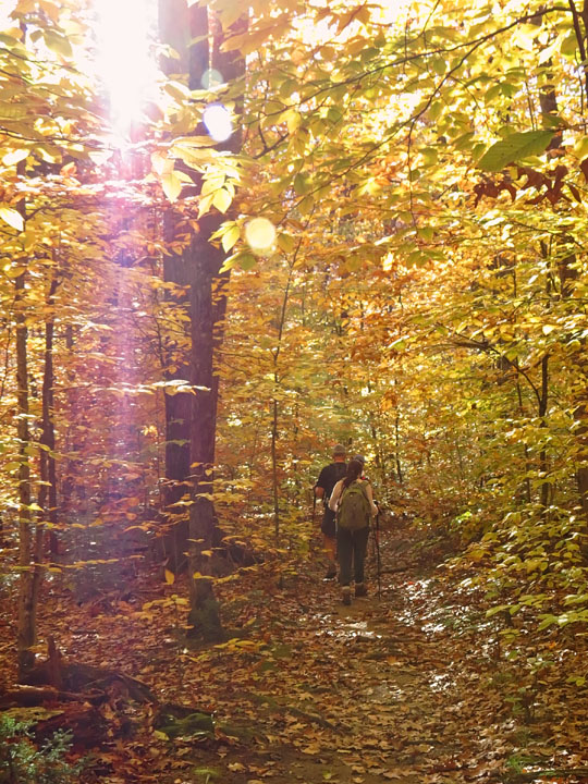
| At lower elevation, the yellow leaf canopy made for golden light. |
|
 |
|
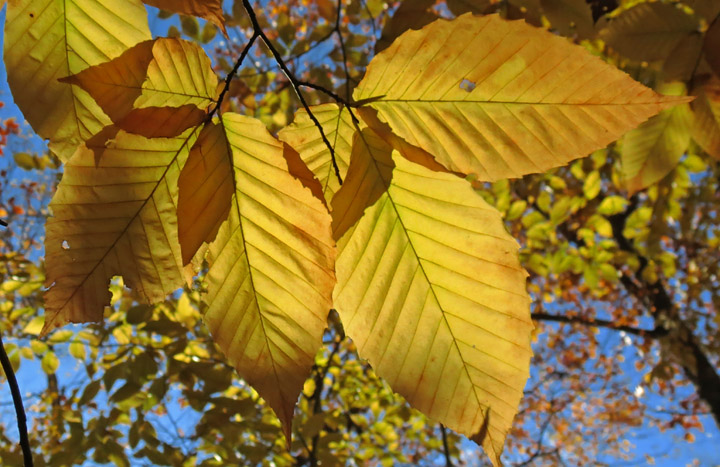
| Leaves |
|
 |
|
| Getting close to the trailhead |
|
 |
|
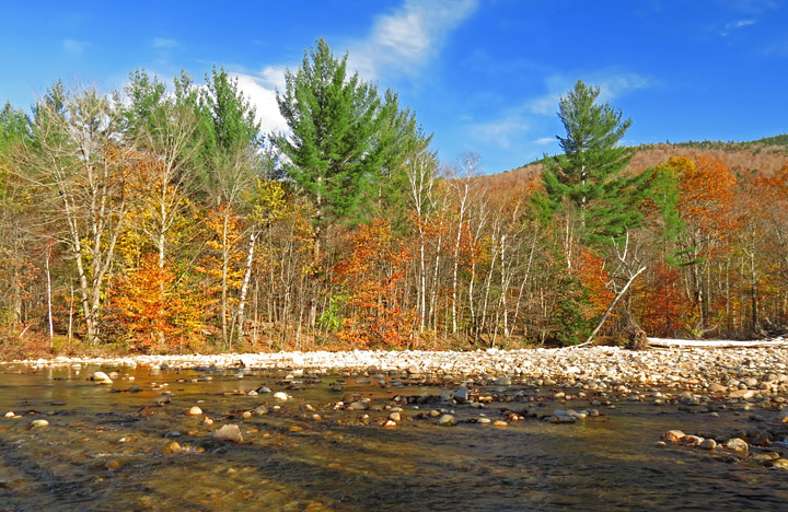
| Back to the Saco River. This moderate hike really paid off in some great views! |
|
| Return to Page 1 - Davis Path to Mt. Crawford |