| ~ FALL 2013 PHOTOS ~ Western North Carolina |
All Text & Images: Copyright (2013-2014) |
| ~ FALL 2013 PHOTOS ~ Western North Carolina |
All Text & Images: Copyright (2013-2014) |
 |
|
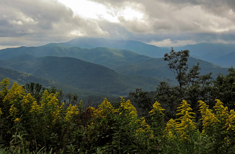
| Mt. Mitchell from the Parkway, summit obscured. Highest peak in the east, elevation 6684 feet. |
|
 |
|
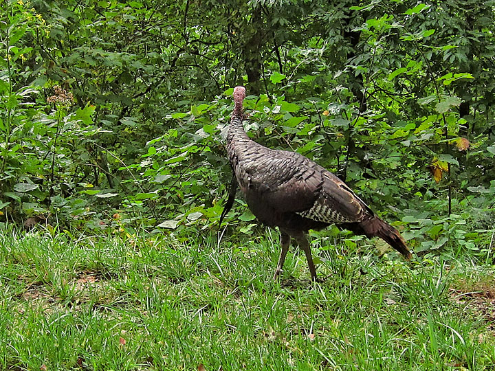
| Naturally the only clear shot of this turkey caught it facing away. |
|
 |
|
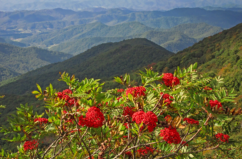
| Ash berries and mountains |
|
 |
|
| Mountain layers |
|
 |
|
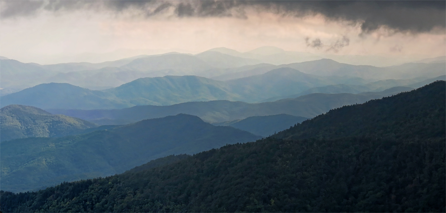
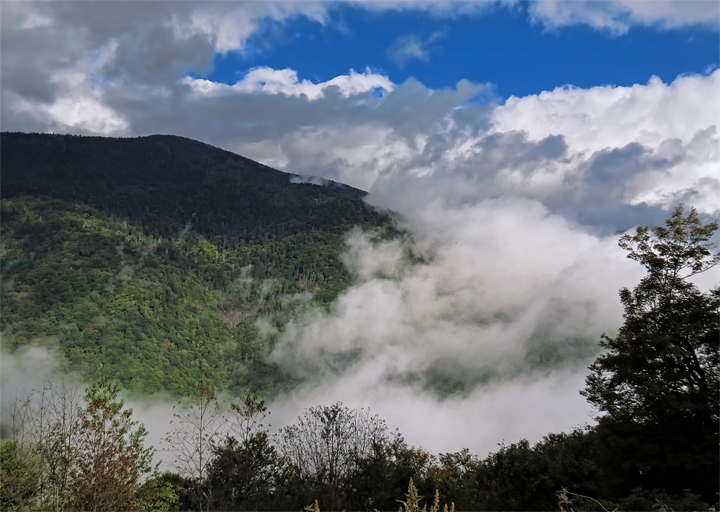
| One afternoon's drive along the highest section of the BRP was socked in with low overcast and fog. At one point (here) it cleared for about 1 minute, and then we were back in the low clouds. |
|
 |
|
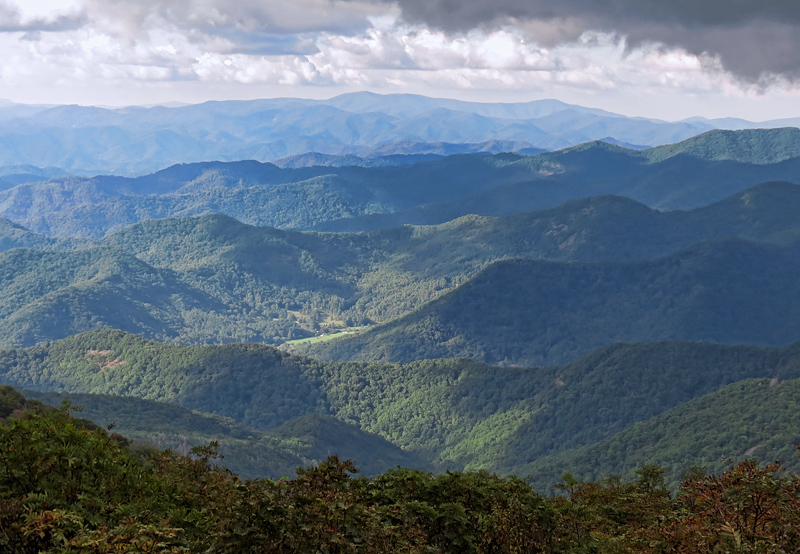
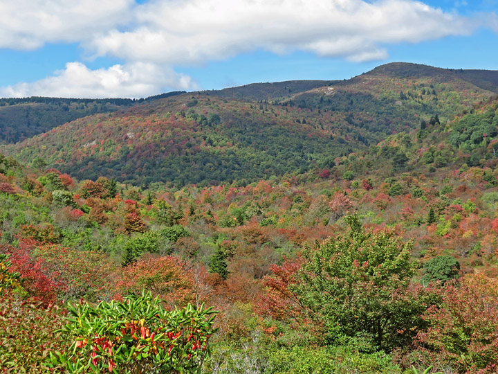
| More mountain layers |
|
 |
|
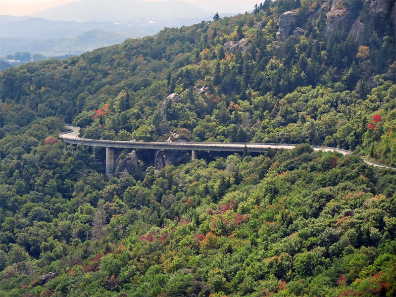
| Linn Cove Viaduct |
|
 |
|
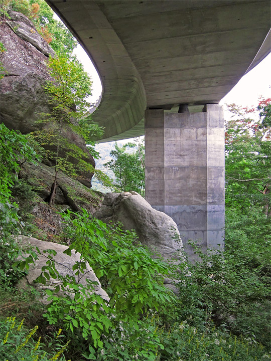
| Linn Cove Viaduct from below |
|
 |
|
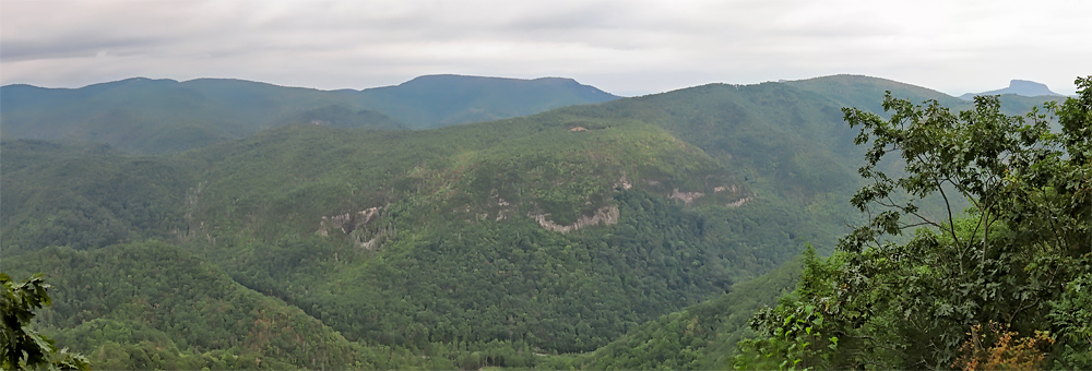
| Overlook near Linville Gorge, Table Rock visible at far right. |
|
 |
|
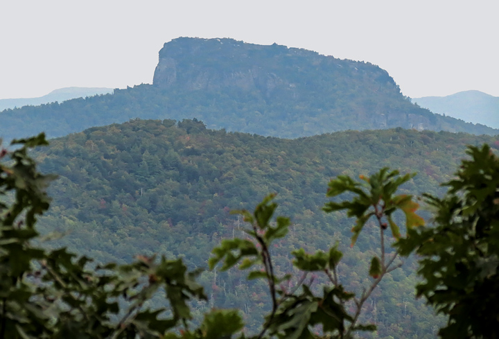
| Zoomed in on distant Table Rock |
|
 |
|
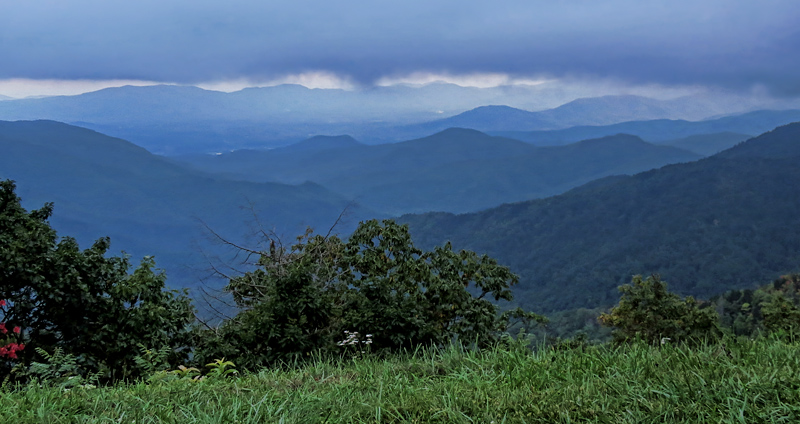
| Low clouds on a late afternoon |
|
 |
|
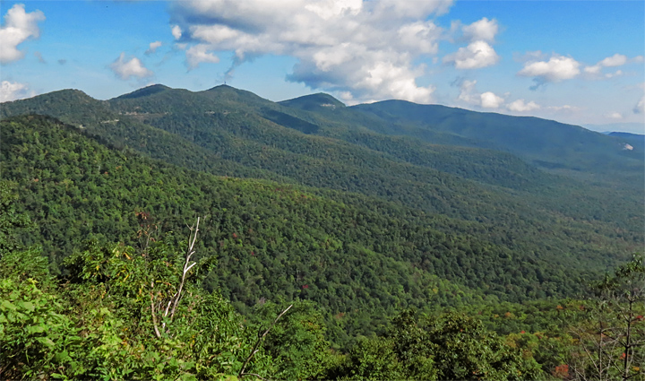
| View toward Mt. Pisgah |
|
 |
|
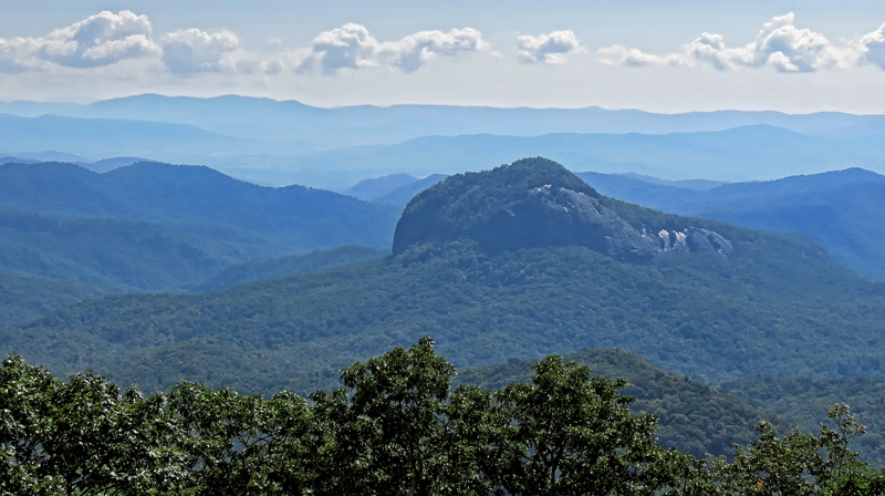
| Looking Glass Rock, on a hazy morning |
|
 |
|
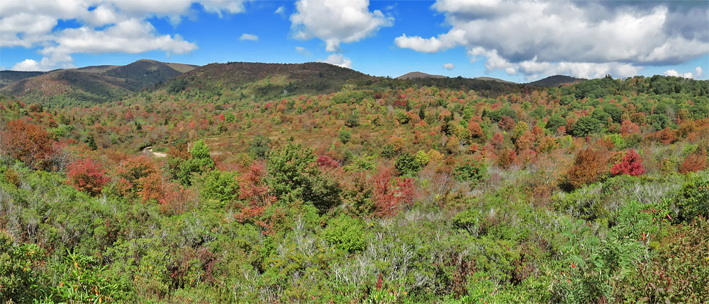
| Graveyard Fields |
|
 |
|
| Graveyard Fields |
|
 |
|
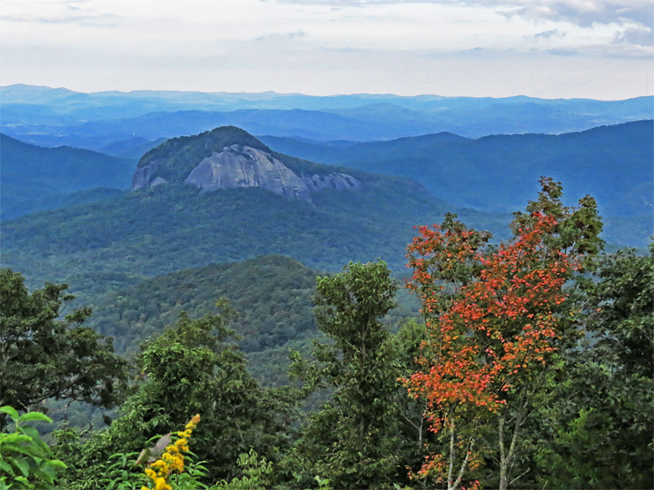
| Looking Glass Rock, late afternoon |