| ~ FALL 2013 PHOTOS ~ Western North Carolina |
All Text & Images: Copyright (2013-2014) |
| ~ FALL 2013 PHOTOS ~ Western North Carolina |
All Text & Images: Copyright (2013-2014) |
 |
|
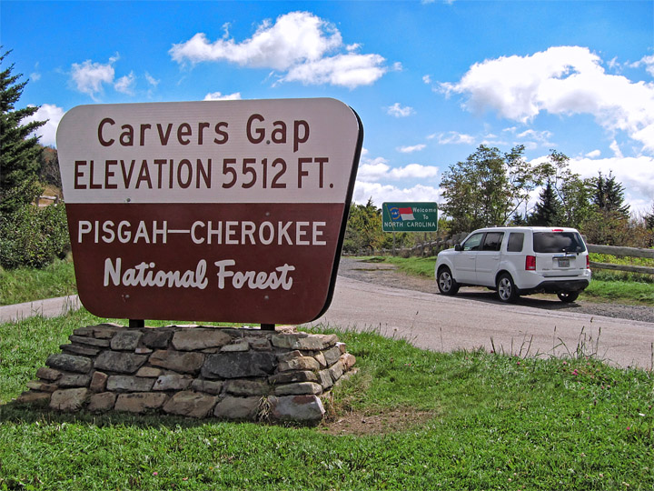
| Trailhead at Carver's Gap |
|
 |
|
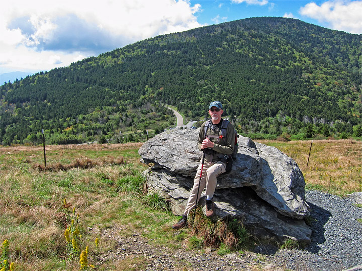
| Near the trail's start; it follows the Appalachian Trail for the first 2/3 of the hike. View back towards Carver's Gap and Roan High Knob. |
|
 |
|
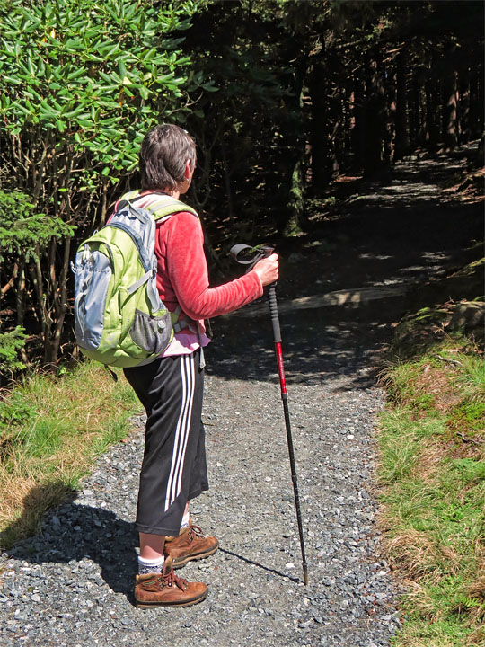
| The trail enters a short wooded section before re-emerging on the balds. |
|
 |
|
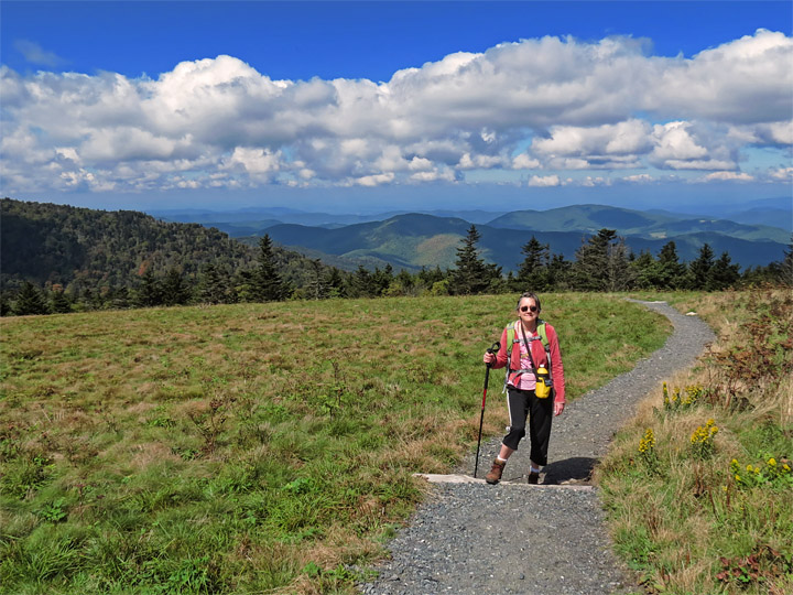
| Out of the woods |
|
 |
|
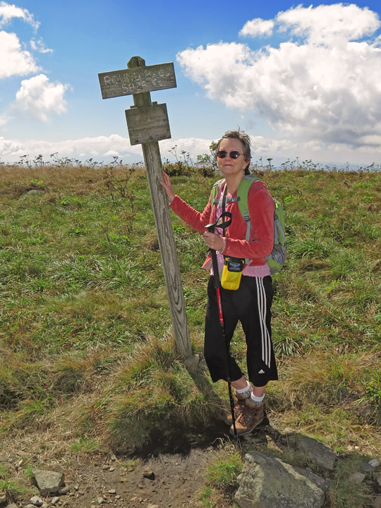
| Summit of Round Bald (5826 ft) |
|
 |
|
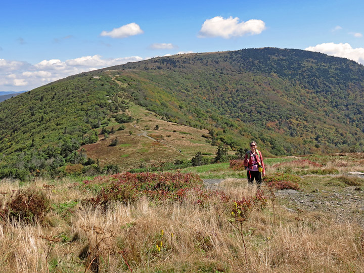
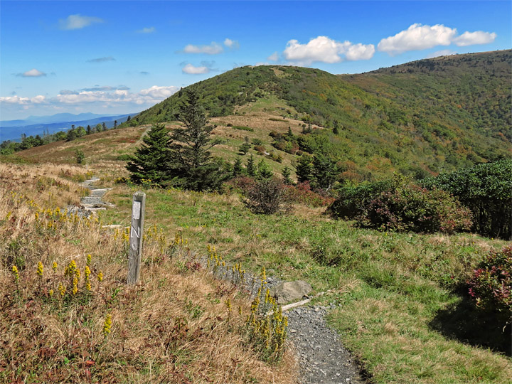
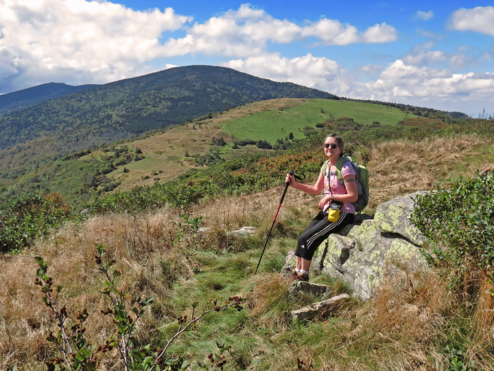
| A look at Grassy Ridge and the trail ahead |
|
 |
|
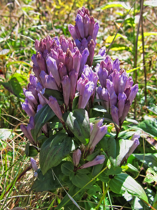
| Gentian flowers |
|
 |
|
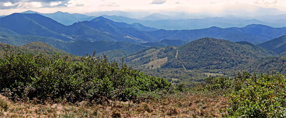
| Layers of mountains to the south... |
|
 |
|
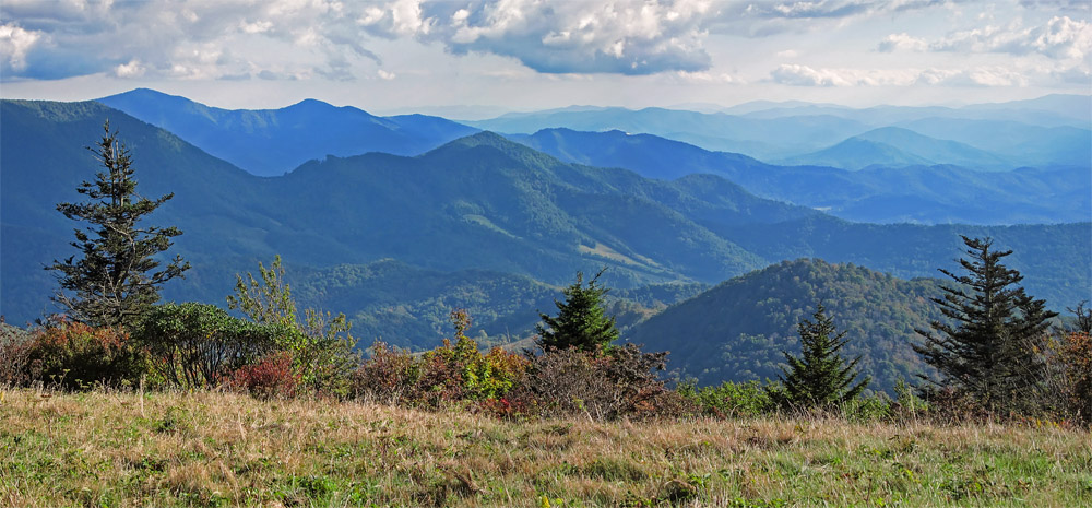
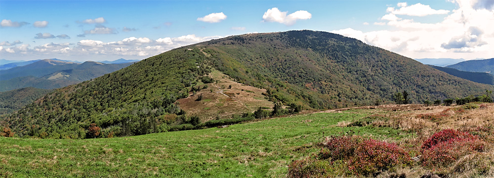
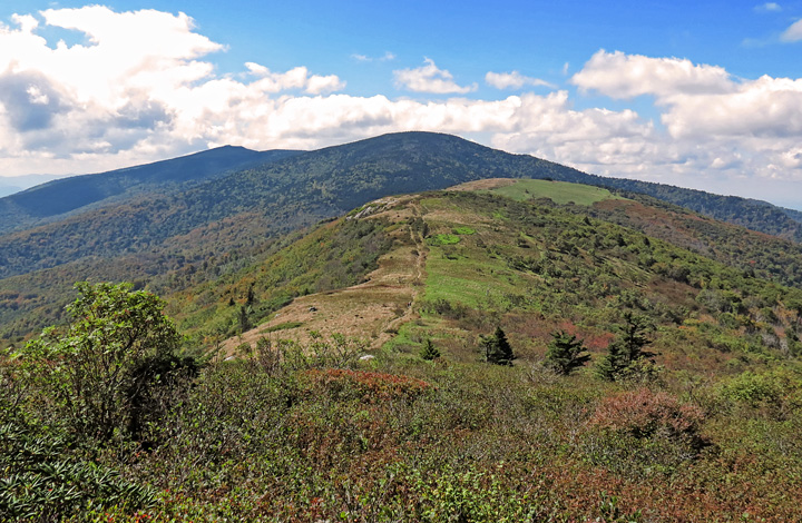
| Panorama of our destination |
|
 |
|
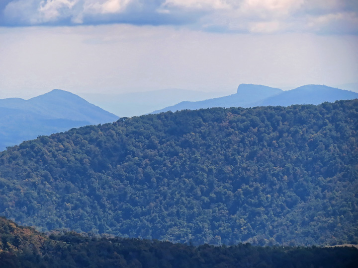
| At full zoom, Hawksbill and Table Rock were visible, at Linville Gorge about 20 miles away. |
|
 |
|
| Appalachian Trail; Jane Bald is the next peak ahead. |
|
 |
|
| View back at Round Bald, Roan High Knob, and Roan High Bluff. |
|
 |
|
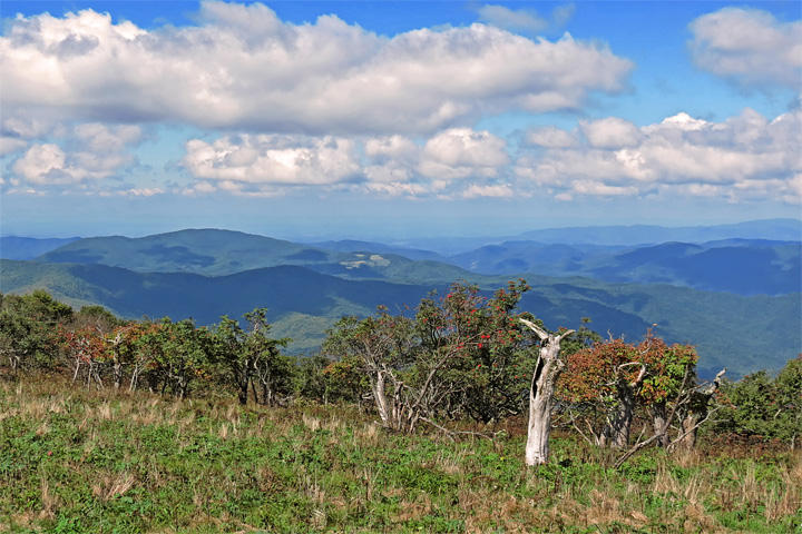
| Southerly vista from Jane Bald |
|
 |
|
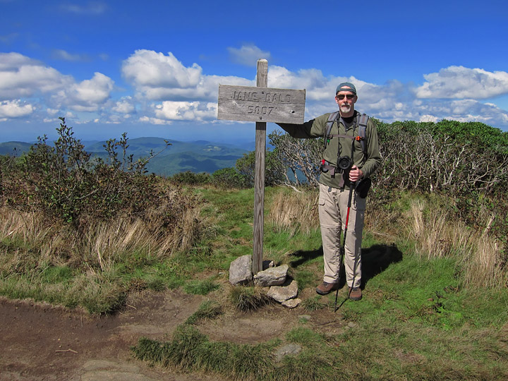
| Jane Bald summit (5807 ft) |
|
 |
|
| On Jane Bald |
|
 |
|
| Northerly view |
|
 |
|
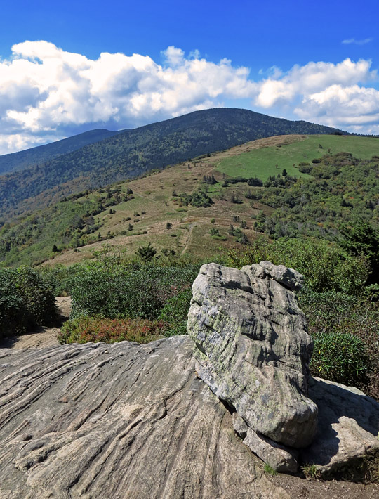
| View back along the trail Jane Bald, Round Bald, and the two Roan Highs... |
|
 |
|
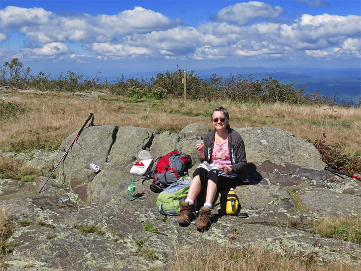
| We found a good lunch spot close to where the Grassy Ridge Trail splits off from the A.T. |
|
 |
|
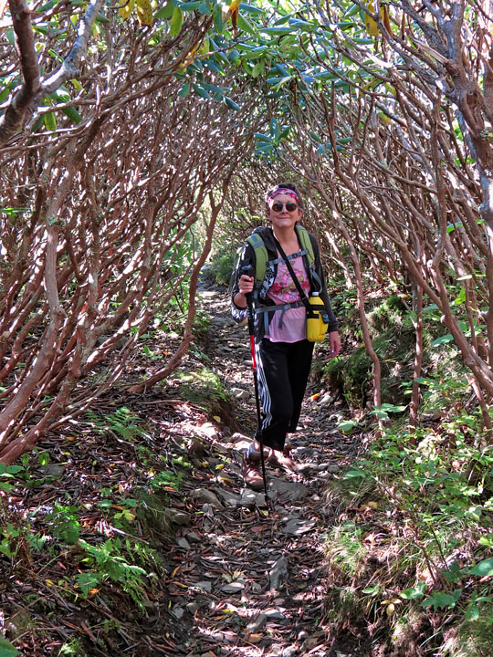
| Rhododendron tunnel on slope of Grassy Ridge Bald |
|
 |
|
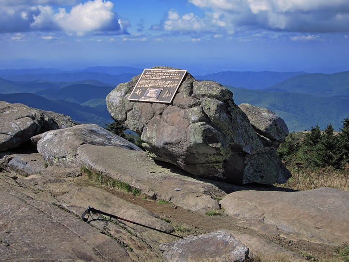
| Summit of Grassy Ridge Bald |
|
 |
|
| Bronze plaque at summit, dedicated to local highland farmer Cornelius Rex Peake |
|
 |
|
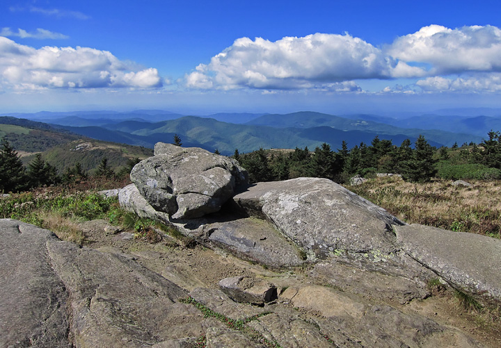
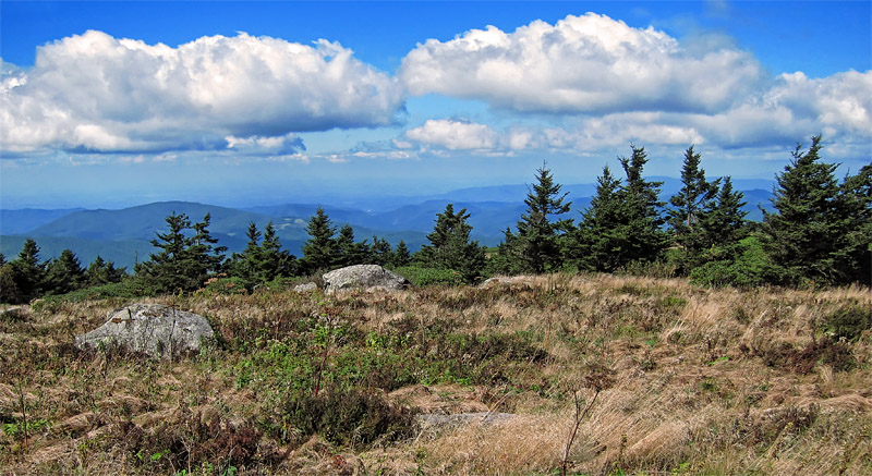
| Another view from Grassy Ridge Bald's summit (6189 ft) |
Click "here" to go to Page 2 of the Roan Highlands hike |